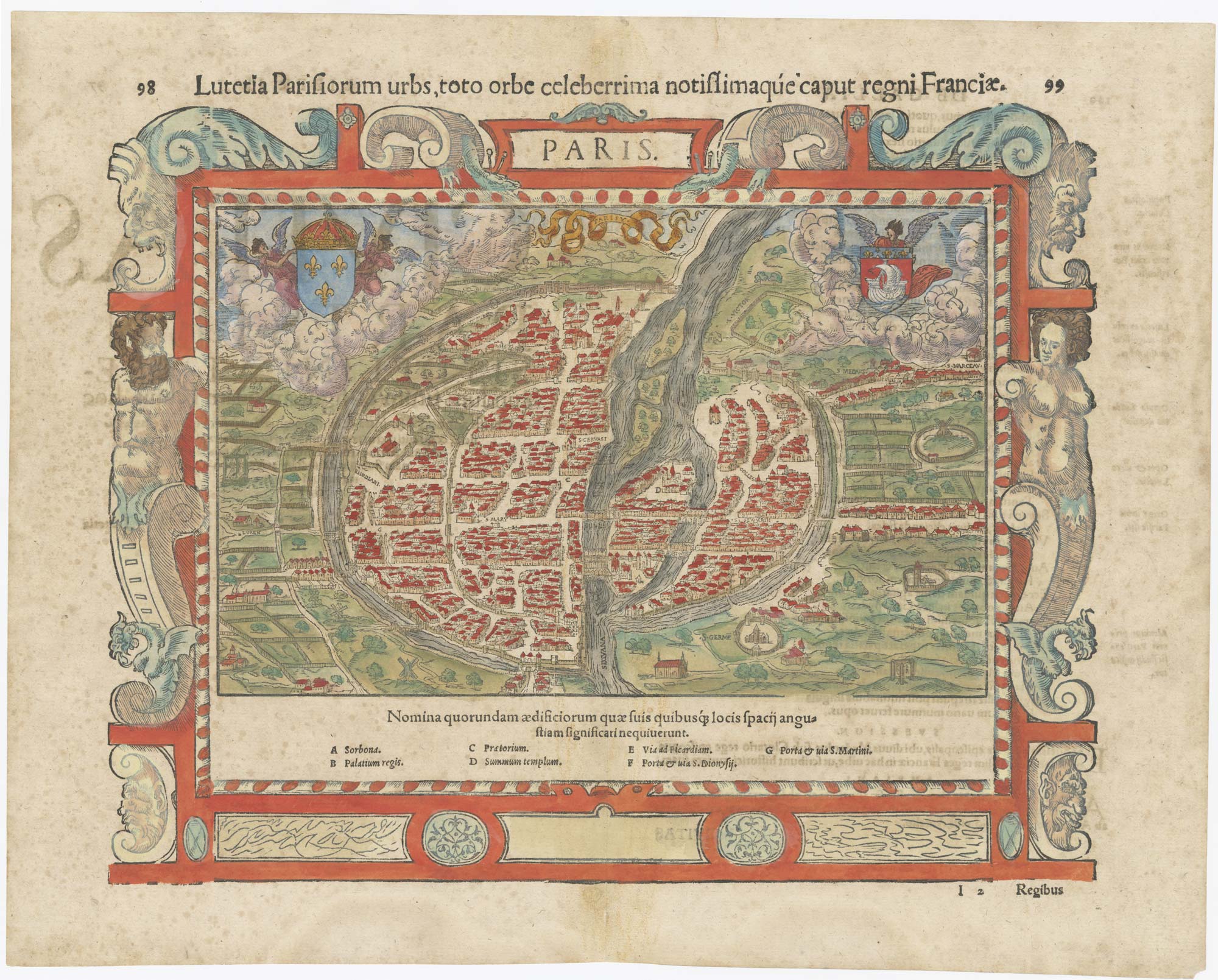


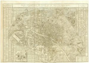
16th century map of Paris
Paris. Lutetia Parisiorum urbs, toto orbe celeberrima notissimaque, caput regni Franciae.
Basle, c.1560, Latin text edition. Coloured. Woodcut, printed area 280 x 340mm.
£700.00
Description
A fine city-plan view of Paris, with the buildings shown in profile including the Royal Palace and Town Hall, listed in the index below the image. Munster published two plans of Paris: this is the smaller map but has an elaborate woodcut border featuring atlas.
Condition:
A good example.Related products
-

Plan of Napoleonic Paris
JEAN, Pierre. Date: 1807Stock #: 14144 £600.00 -

Paris and surrounding areas in the mid 19th century
CHARLE, Jean Baptiste Louis. Date: 1817Stock #: 20904 £900.00 -

Early 18th century view of Paris
AA, Pieter van der. Date: 1715Stock #: 9942 £580.00 -

A large and decorative plan of Paris published the year of the Battle of Waterloo
BONNISEL, J. Date: 1815Stock #: 16861 £2,500.00 -
18th century plan of Paris in the decade before the French Revolution
ALIBERT, Jean. Date: 1780Stock #: 23420 £850.00 -

An important 18th century prospect of Paris
WERNER, Friedrich Bernhard. Date: 1730Stock #: 14470 £5,000.00 -
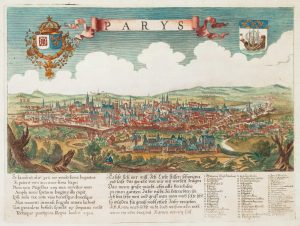
A scarce bird’s-eye view of Paris
Anonymous. Date: 1680Stock #: 11573 £900.00 -

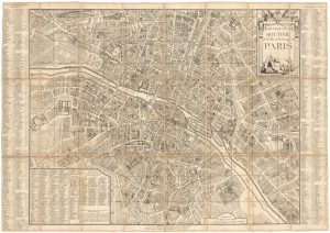
A mid-19th century tourist’s map of Paris
Anonymous. Date: 1873Stock #: 22987 £400.00 -
A large plan of Paris during the Rise of Napoleon
ROBERT DE VAUGONDY, Didier. Date: 1797Stock #: 20620 £1,000.00
Items by the same author
Add to Wishlist
Add to Wishlist
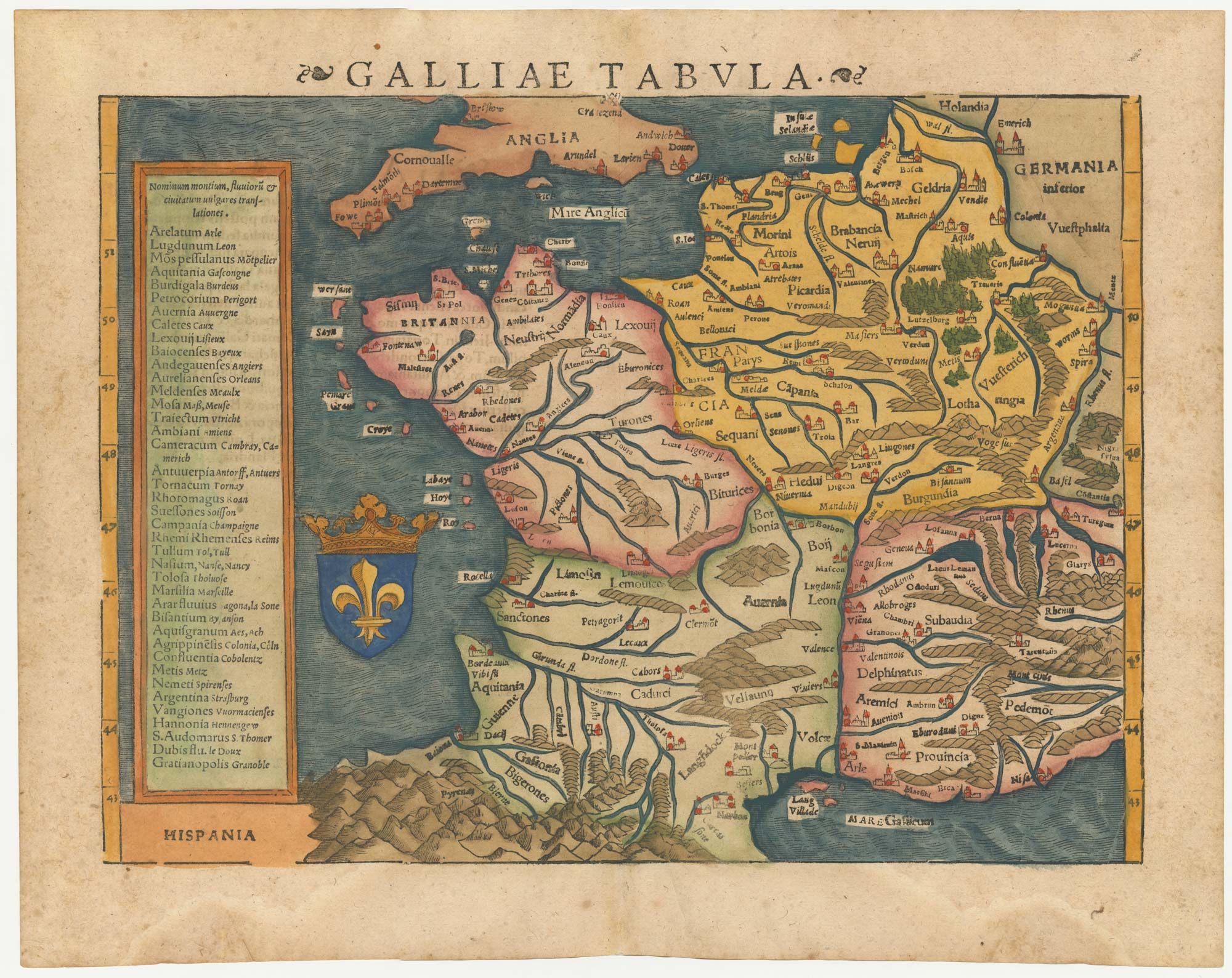
16th century woodblock map of France
MUNSTER, Sebastian. Date: 1572 Stock #: 24580 £380.00
Add to Wishlist
Add to Wishlist
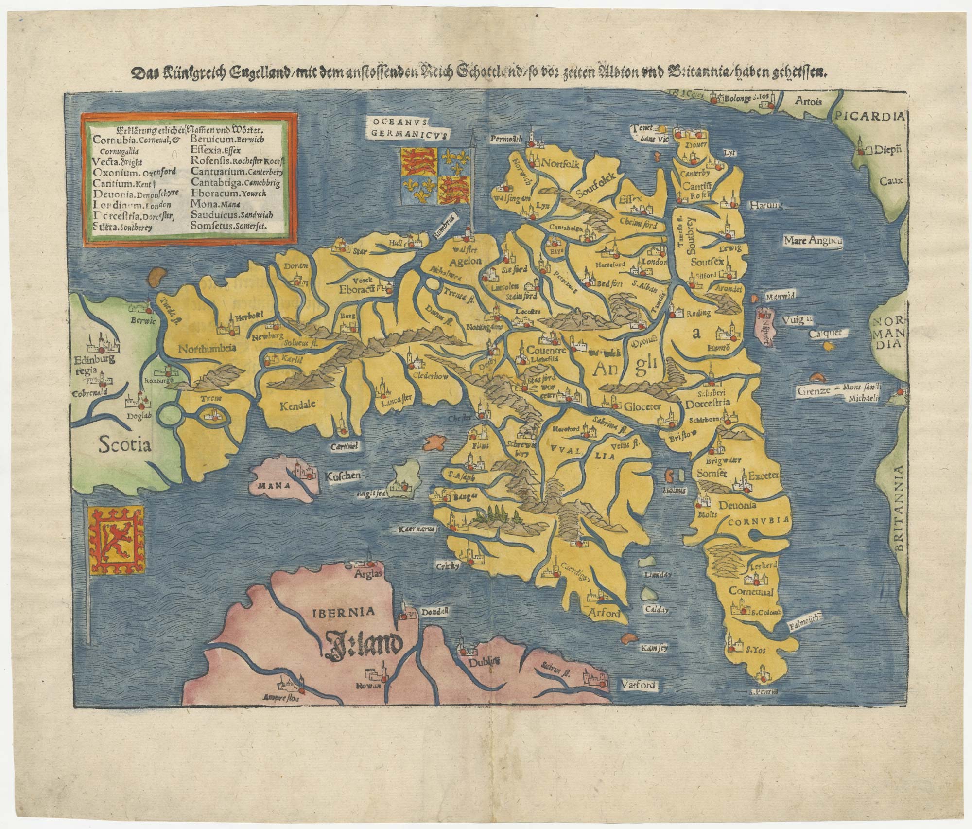
An early woodcut map of England
MUNSTER, Sebastian. Date: 1546 Stock #: 25504 £1,000.00
Add to Wishlist
Add to Wishlist
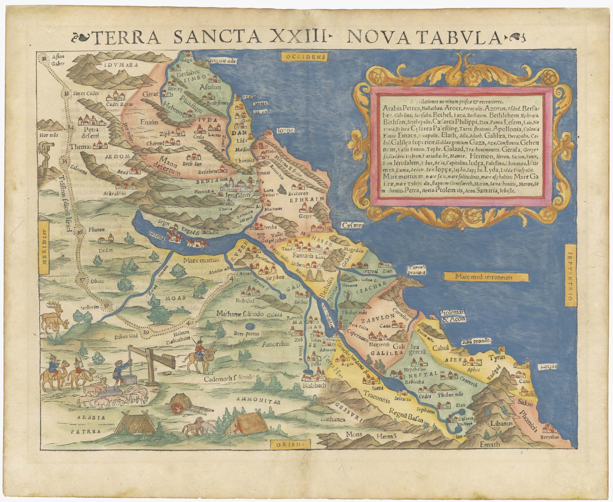
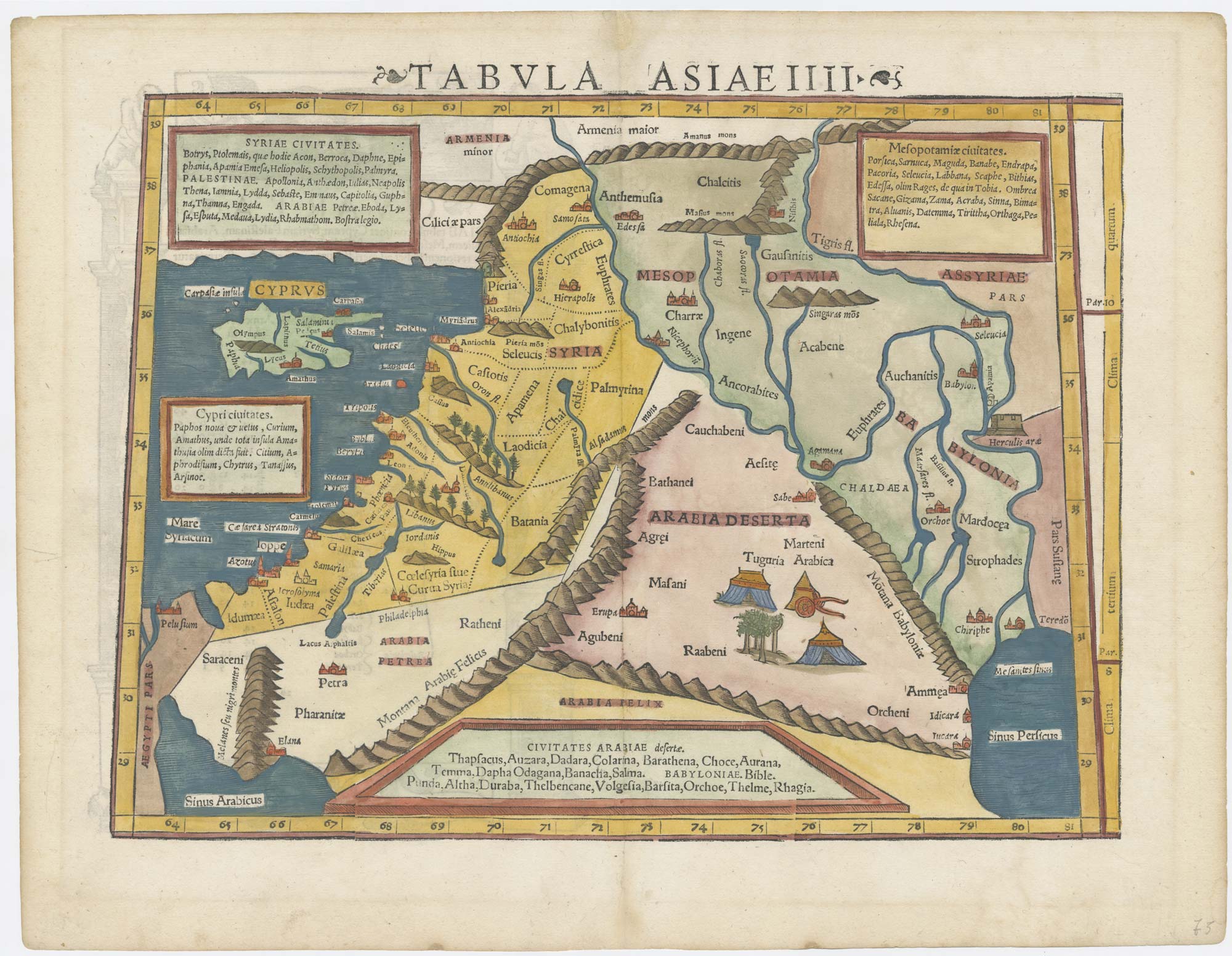
A 16th century woodcut map of the Holy Land
MUNSTER, Sebastian. Date: 1550 Stock #: 25311 £800.00
Add to Wishlist
Add to Wishlist