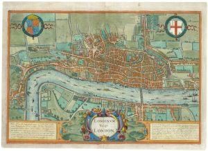
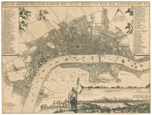
Early woodblock map of Elizabethan London
Londen oder Lunden die hauptstatt in Engellande / am fluss Thamesis gelegen /auss das aller fleissigste nach jetziger gelenheit Abcontrafehtet.
Basle, 1628, German edition. Coloured. Woodcut map, printed area 245 x 360mm.
£1,600.00
1 in stock
x
Question About This Item?
Early woodblock map of Elizabethan London & MUNSTER, Sebastian.Stock #: 24366
Add to Wishlist
Export as PDFEnquireSimilar to Sell?Add to Wishlist
Description
A woodcut town plan of London derived from the Braun & Hogenberg map. It shows Westminster to St Katherine's Parish, just east of the Tower, c.1560, during the reign of Mary Tudor. At the centre of the map is the Norman St Paul's Cathedral, still with the spire that was hit by lightning in 1561 and not replaced before the building was destroyed in the Great Fire a century later.
Condition:
A good example.References:
HOWGEGO: 6.Related products
-
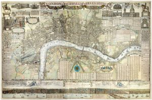
A four-sheet wall map of London
STOCKDALE, John. Date: 1797Stock #: 19537 £9,000.00 -
A rare French tourist map of London for the Great Exhibition of 1851
GARNIER FRERES. Date: 1851Stock #: 20779 £1,200.00 -
A rare tourist’s plan of London for the Great Exhibition of 1851
HECK, Johann Georg. Date: 1851Stock #: 20360 £1,400.00 -
The rare Jansson edition of the earliest available map of London
BRAUN, Georg & HOGENBERG, Frans. Date: 1657Stock #: 25199 £6,500.00 -
An Edwardian facsimile of a twelve-sheet map of London after the Fire
MORGAN, William. Date: 1904Stock #: 19441 £6,000.00 -
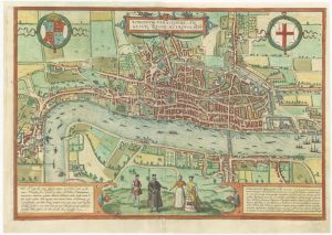
The elusive FIRST STATE of the earliest available printed map of London
BRAUN, Georg & HOGENBERG, Frans. Date: 1572Stock #: 25592 £12,500.00 -
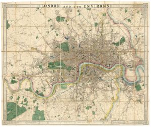
A fine 19th century wall map of London
WYLD, James. Date: 1875Stock #: 23579 £4,800.00 -
A two-sheet map of 18th century London
SMITH, Joseph. Date: 1795Stock #: 23337 £2,200.00 -
A rare broadsheet map of the Great Fire of London of 1666
DE WIT, Frederick. Date: 1666Stock #: 24892 £7,500.00
Items by the same author
Add to Wishlist
Add to Wishlist
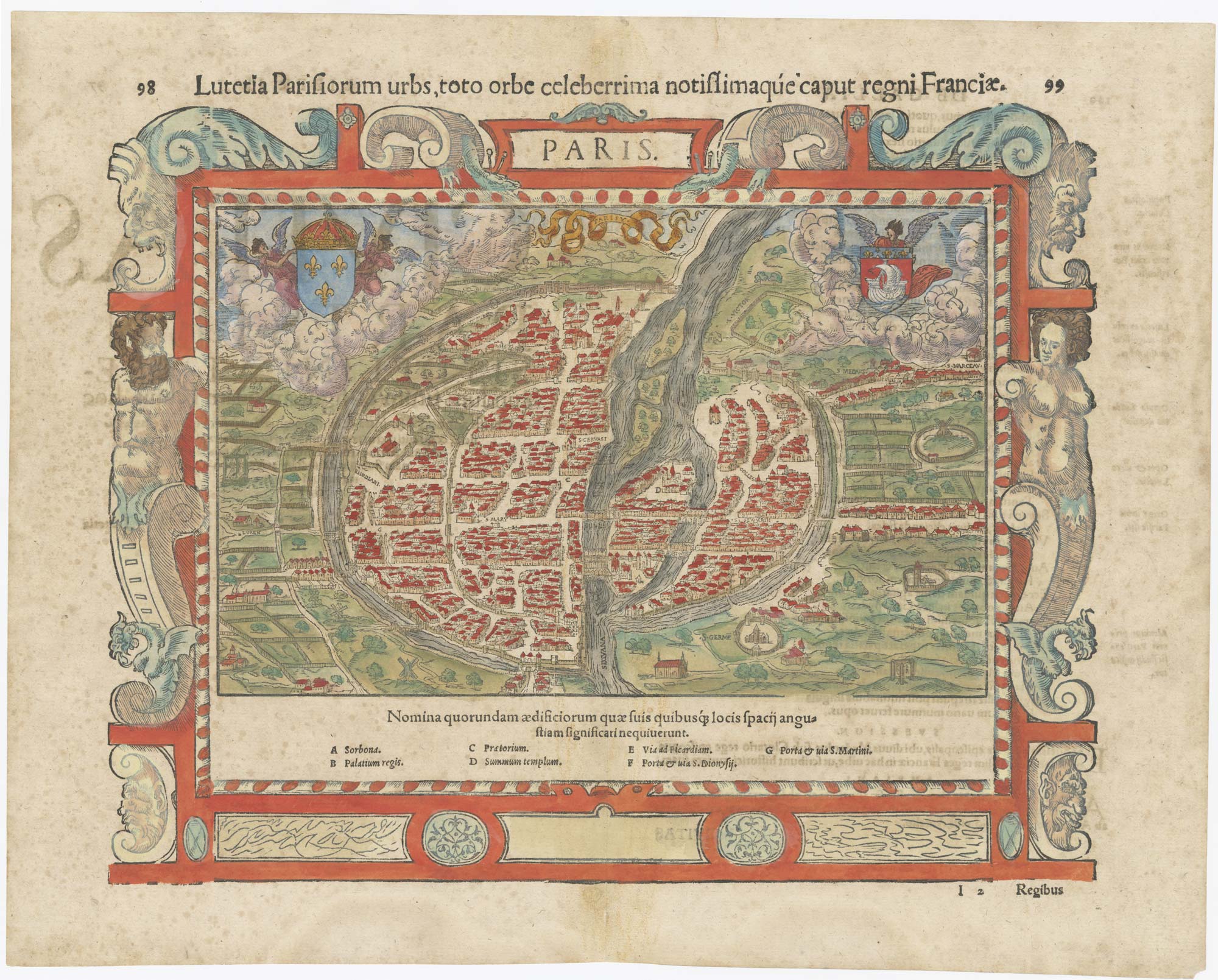
16th century map of Paris
MUNSTER, Sebastian. Date: 1560 Stock #: 25306 £700.00
Add to Wishlist
Add to Wishlist
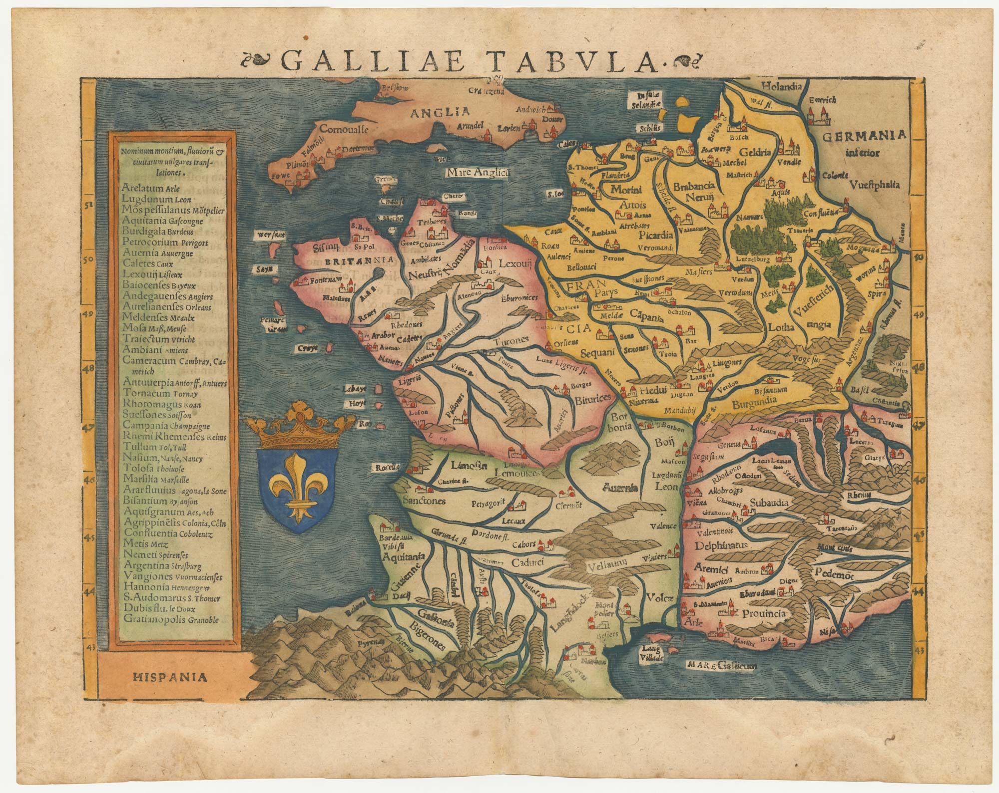
16th century woodblock map of France
MUNSTER, Sebastian. Date: 1572 Stock #: 24580 £380.00
Add to Wishlist
Add to Wishlist
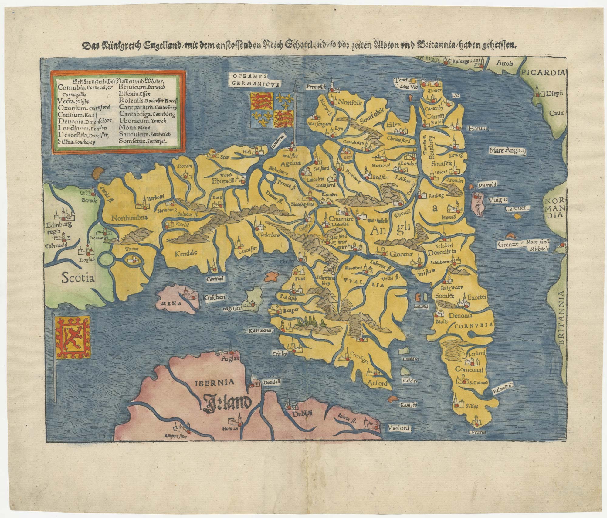
An early woodcut map of England
MUNSTER, Sebastian. Date: 1546 Stock #: 25504 £1,000.00
Add to Wishlist
Add to Wishlist