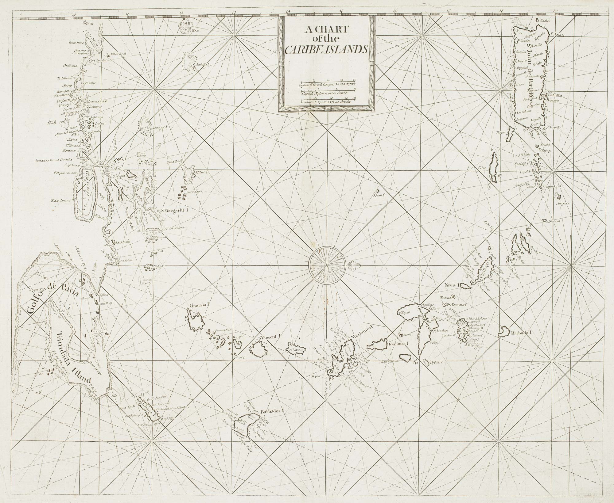


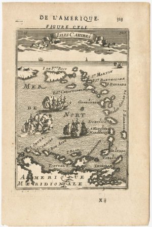
A British chart of the Lesser Antilles
A Chart of the Caribe Islands.
London: W. & J. Mount and T. Page, 1748. 435 x 530mm.
£700.00
Description
A chart of the Lesser Antilles, orientated with north to the right, showing from Puerto Rico south to Trinidad and the Gulf of Paria.
This example comes from Mount & Page's 'The English Pilot. The Fourth Book Describing The West India Navigation...', the first sea atlas of America containing charts only from English sources.
Condition:
A good example.Related products
-
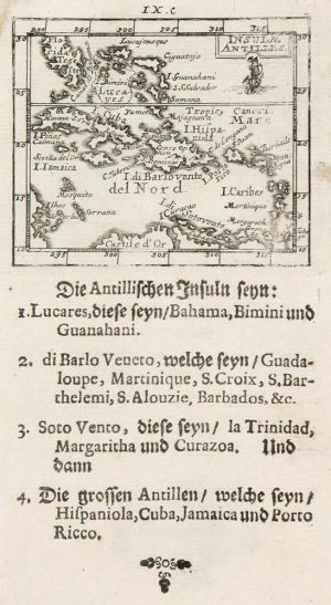
Uncommon miniature map of the West Indies
MULLER, Johann Ulrich. Date: 1692Stock #: 8928 £175.00 -
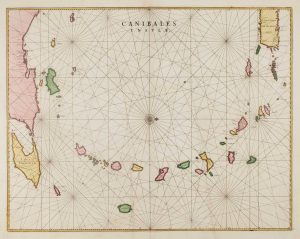
17th century chart of the Lesser Antilles
BLAEU, Johannes. Date: 1662Stock #: 15193 £850.00 -
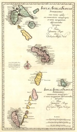
A two-sheet map of the Lesser Antilles
WEIGEL, Christoph. Date: 1747Stock #: 25324 £500.00 -
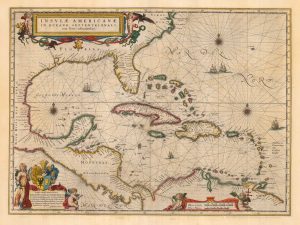
Classic 17th century map of the West Indies
BLAEU, Willem Janszoon. Date: 1662Stock #: 22717 £1,800.00 -
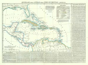
19th century map of the West Indies
MARZOLLA, Benedetto. Date: 1850Stock #: 19380 £220.00 -
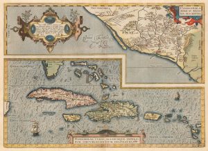
Ortelius’s map of the West Indies and Culiacán in Mexico
ORTELIUS, Abraham. Date: 1584Stock #: 23599 £1,250.00 -
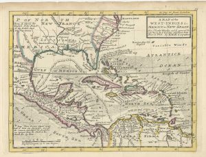
18th century English map of the West Indies
MOLL, Herman. Date: 1732Stock #: 25667 £450.00 -
17th century miniature map of the Antilles
MALLET, Alain Manesson. Date: 1683Stock #: 24840 £180.00 -
Early 18th century map of the Caribbean
OTTENS, Joachim. Date: 1710Stock #: 17440 £1,200.00
Items by the same author
Add to Wishlist
Add to Wishlist
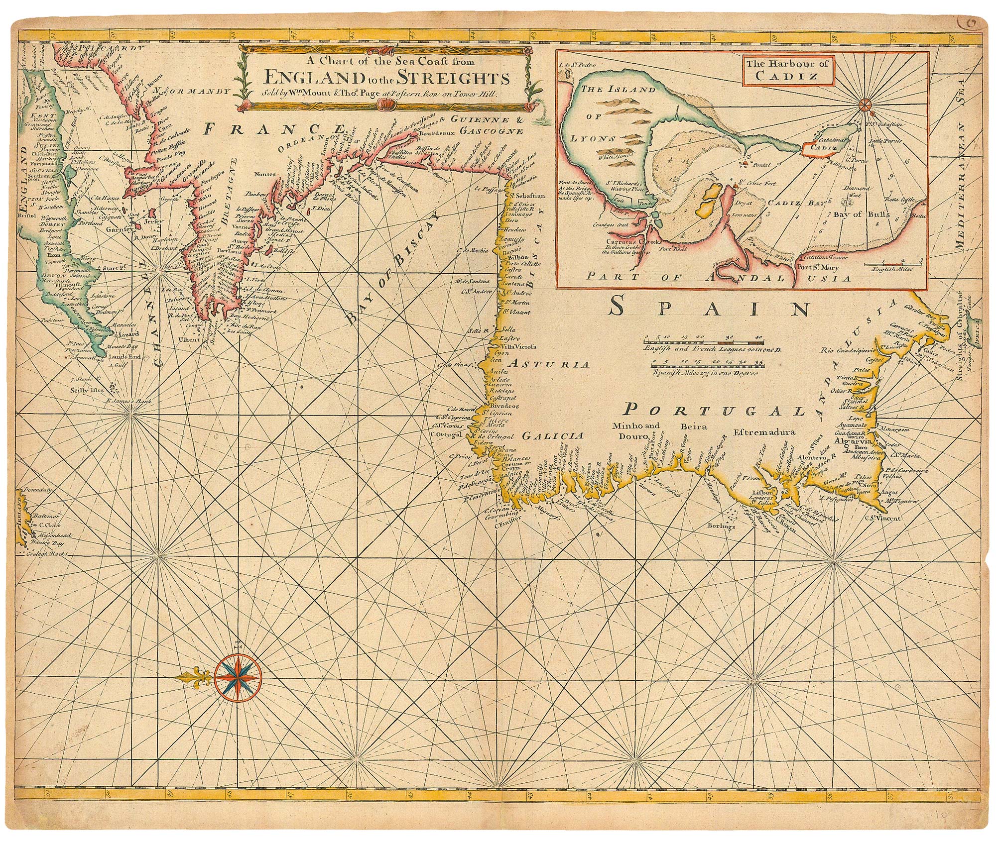
An 18th century sea chart of the Atlantic coasts of Europe
MOUNT & PAGE. Date: 1760 Stock #: 24819 £460.00
Add to Wishlist
Add to Wishlist
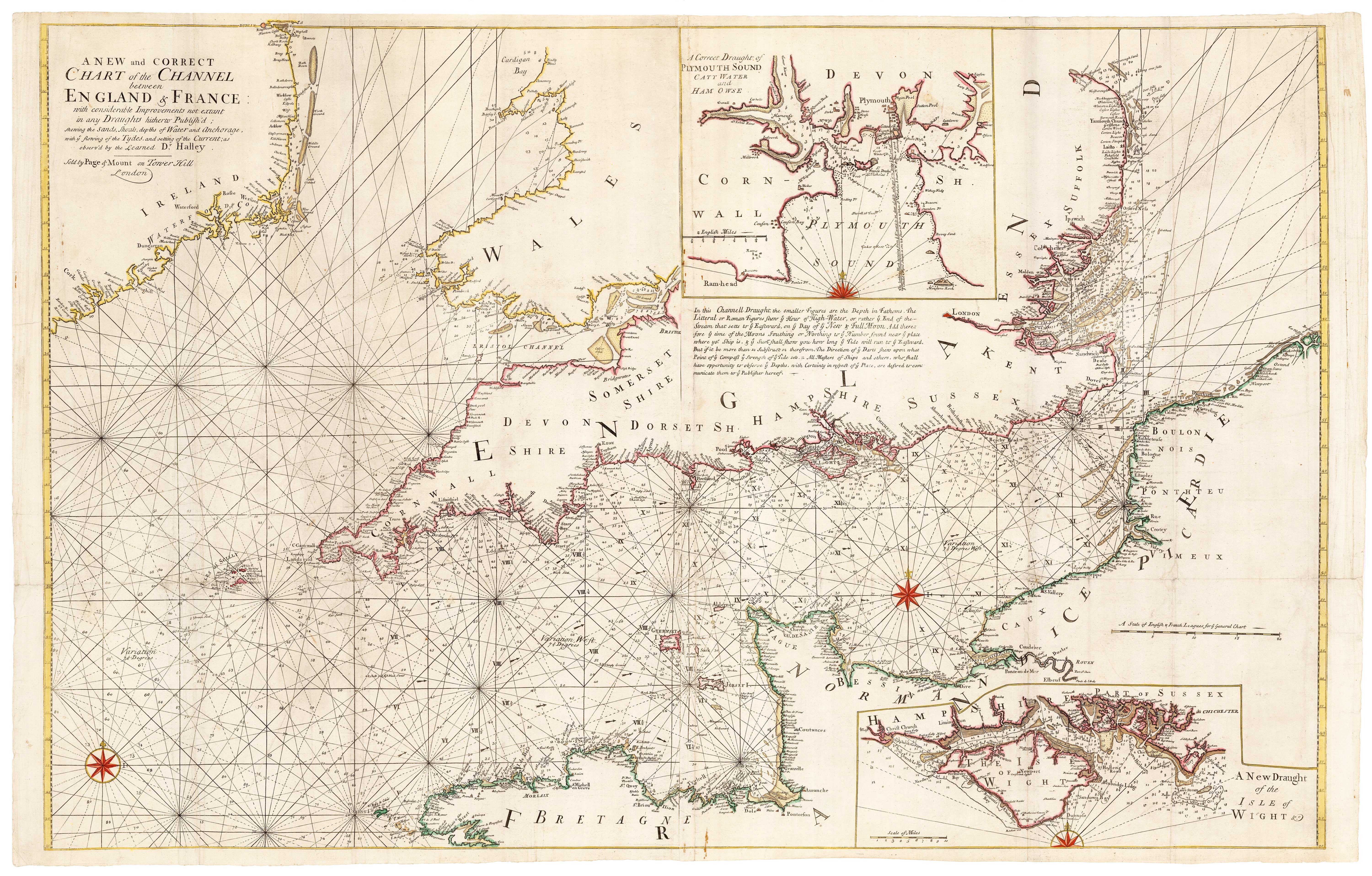
An 18th century two-sheet sea chart of the English Channel based on Halley
MOUNT & PAGE. Date: 1745 Stock #: 23424 £1,250.00
Add to Wishlist
Add to Wishlist
