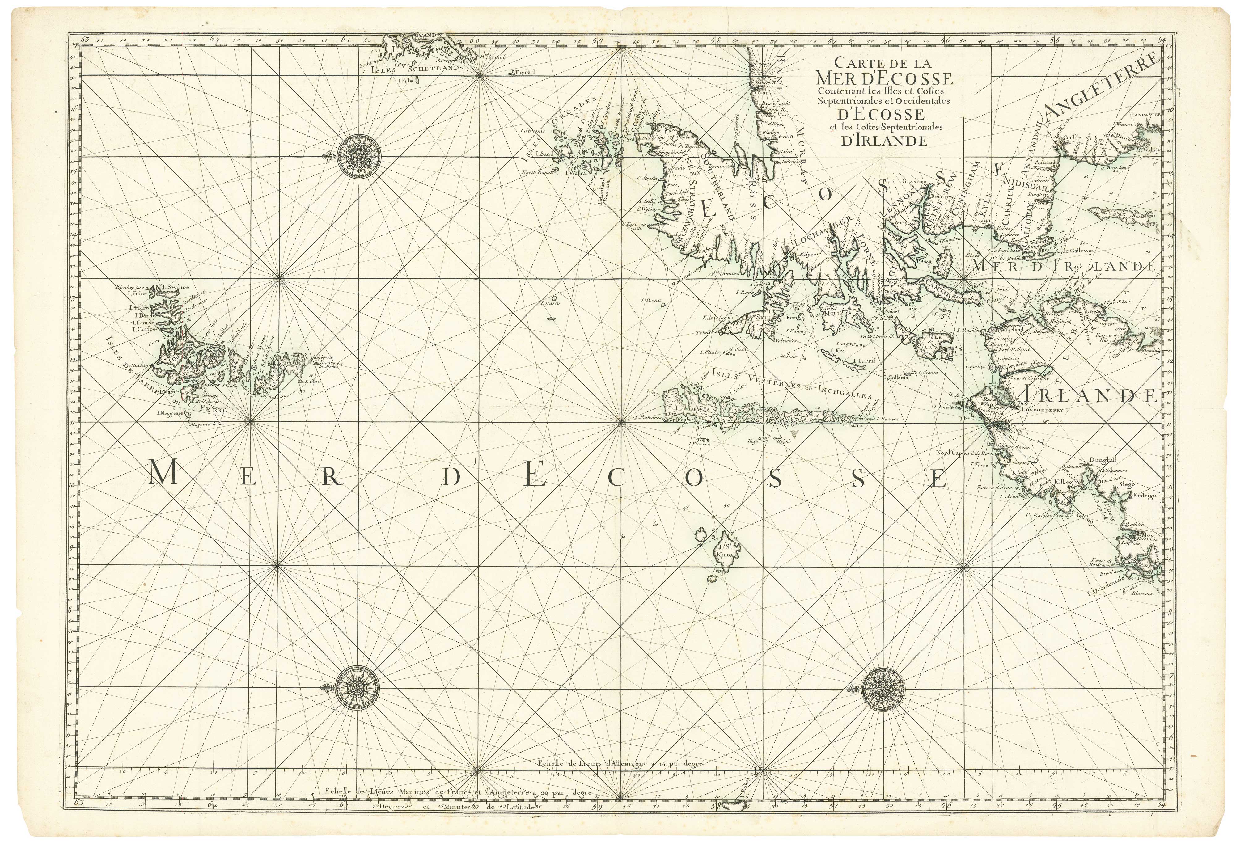


A two-sheet sea chart of Scotland and northern Ireland
Carte de la Mer D'Ecosse Contenant les Isles et Costes Septentrionales et Occidentales d'Ecosse et les Costes Septentrionales d'Irlande.
Paris, J.B. Bellin, c.1740. Original wash colour. 610 x 865mm.
£680.00
1 in stock
x
Question About This Item?
A two-sheet sea chart of Scotland and northern Ireland & MORTIER, Pierre.Stock #: 24905
Add to Wishlist
Export as PDFEnquireSimilar to Sell?Add to Wishlist
Description
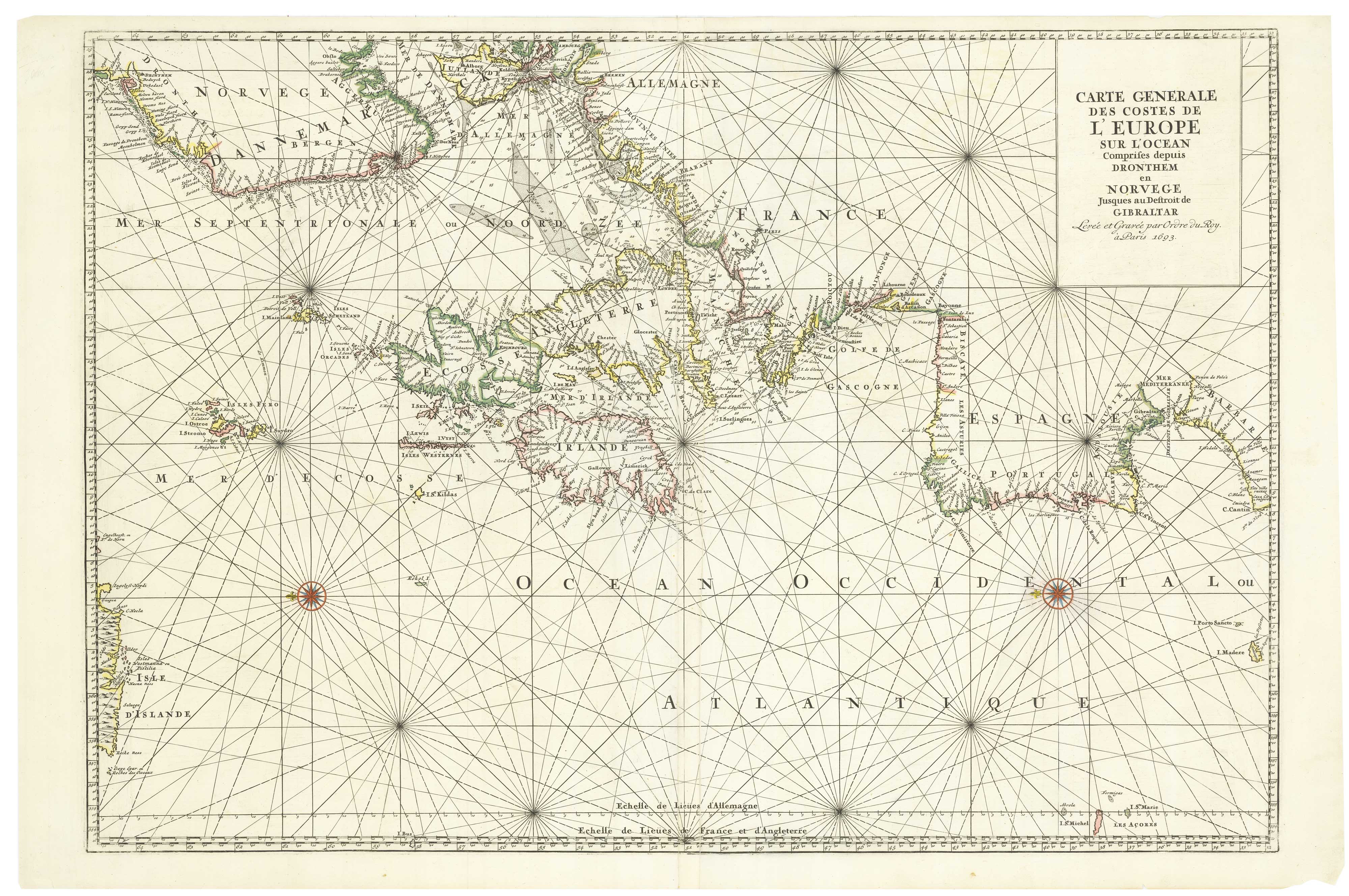
A large and detailed sea chart of the seas to the north and west of Scotland, with the Orkneys, Shetlands, Faroes and northern Ireland.
The chart was first published by Pierre Mortier in Amsterdam in 1693, in the famous 'Neptune Francois". The plates later came into the hands of Bellin in his role as head of the French 'Depot de la Marine'. The chart has been coloured with a lovely blue/green wash around the coastlines
Condition:
A good example.Related products
-
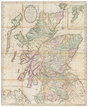
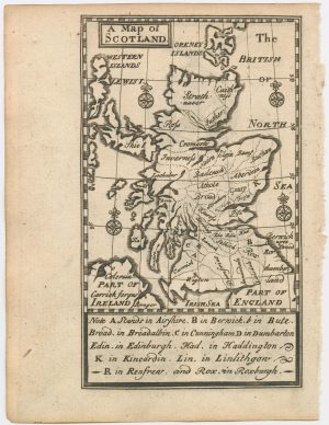
A scarce road map of Scotland
AINSLIE, John. Date: 1790Stock #: 18581 £725.00 -
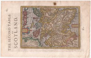
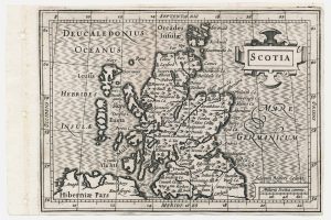
Northern Scotland from the first English Edition of the ‘Atlas Minor’
HONDIUS, Jodocus. Date: 1635Stock #: 22384 £150.00 -
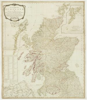
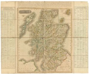
A late 18th century wall map of Scotland
CAMPBELL, Robert. Date: 1794Stock #: 16013 £1,400.00 -
Southern Scotland from the first English Edition of the ‘Atlas Minor’
HONDIUS, Jodocus. Date: 1635Stock #: 22438 £120.00 -
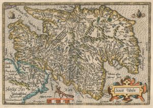
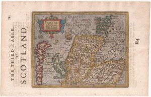
An early 17th century map of Scotland
QUAD, Matthias. Date: 1608Stock #: 22372 £450.00 -
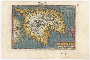
A minature map of Scotland
BERTIUS, Petrus. Date: 1609Stock #: 24847 £250.00 -
An 18th century miniature map of Scotland
Anonymous. Date: 1752Stock #: 22964 £275.00 -
A scarce miniature map of Scotland
ROGIERS, Salomon. Date: 1807Stock #: 22089 £160.00 -
An unusual variant of Thomson’s map of Scotland
THOMSON, John. Date: 1825Stock #: 18578 £420.00
Items by the same author
Add to Wishlist
Add to Wishlist
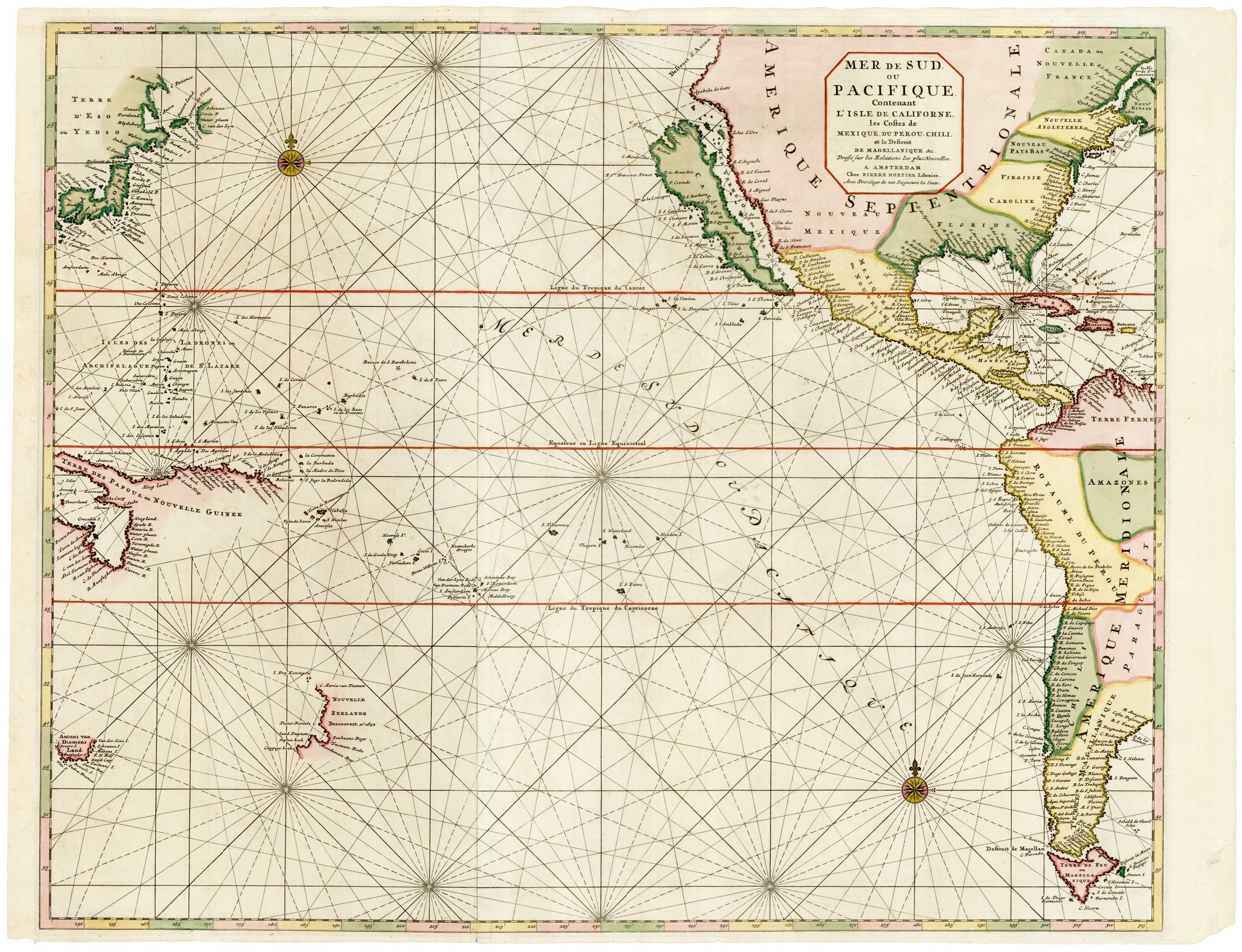
A scarce two-sheet map of the Pacific
MORTIER, Pierre. Date: 1700 Stock #: 25056 £3,650.00
Add to Wishlist
Add to Wishlist
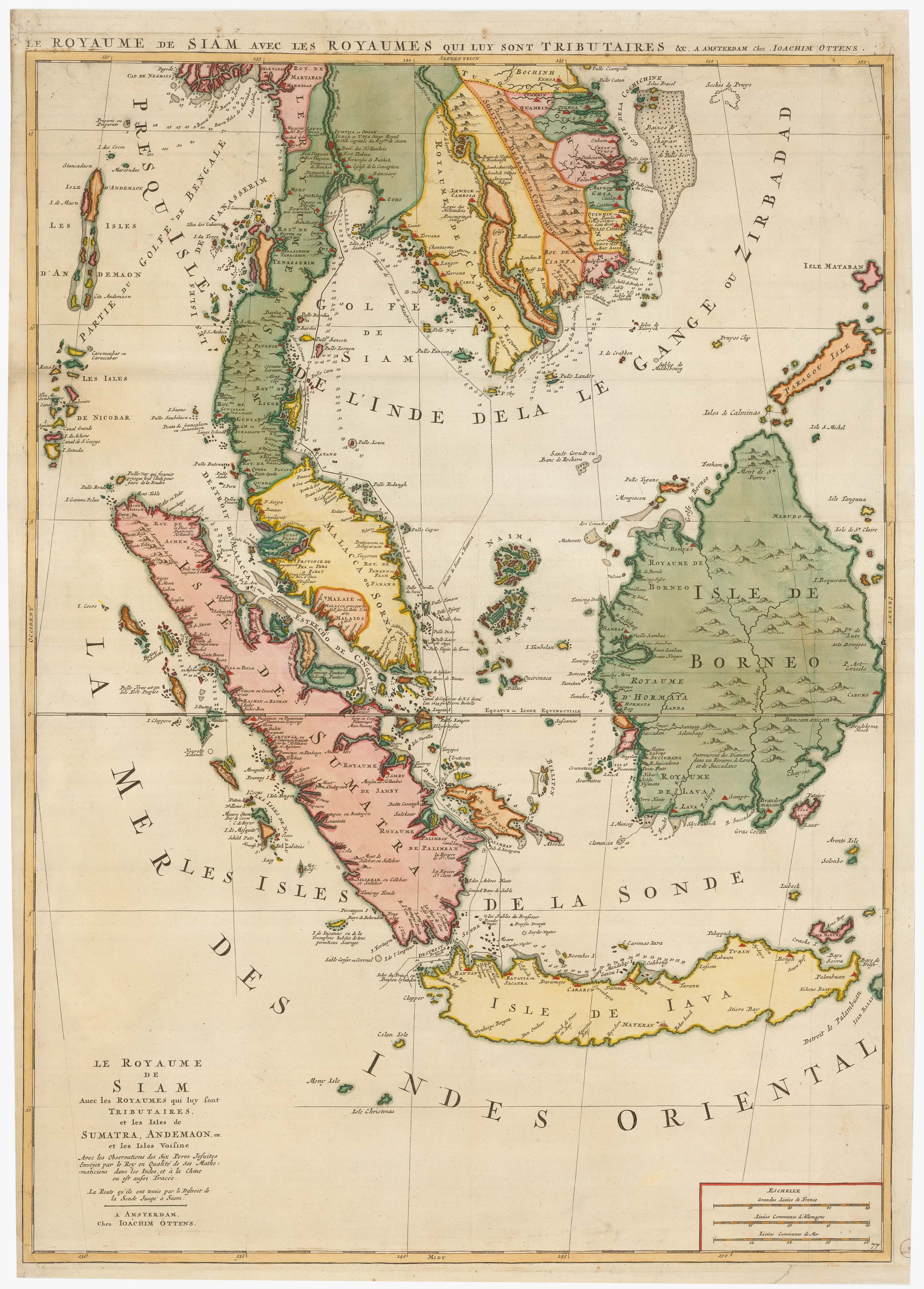
Two-sheet sea chart of the Malay Peninsula
MORTIER, Pierre. Date: 1705 Stock #: 22900 £2,000.00
Add to Wishlist
Add to Wishlist
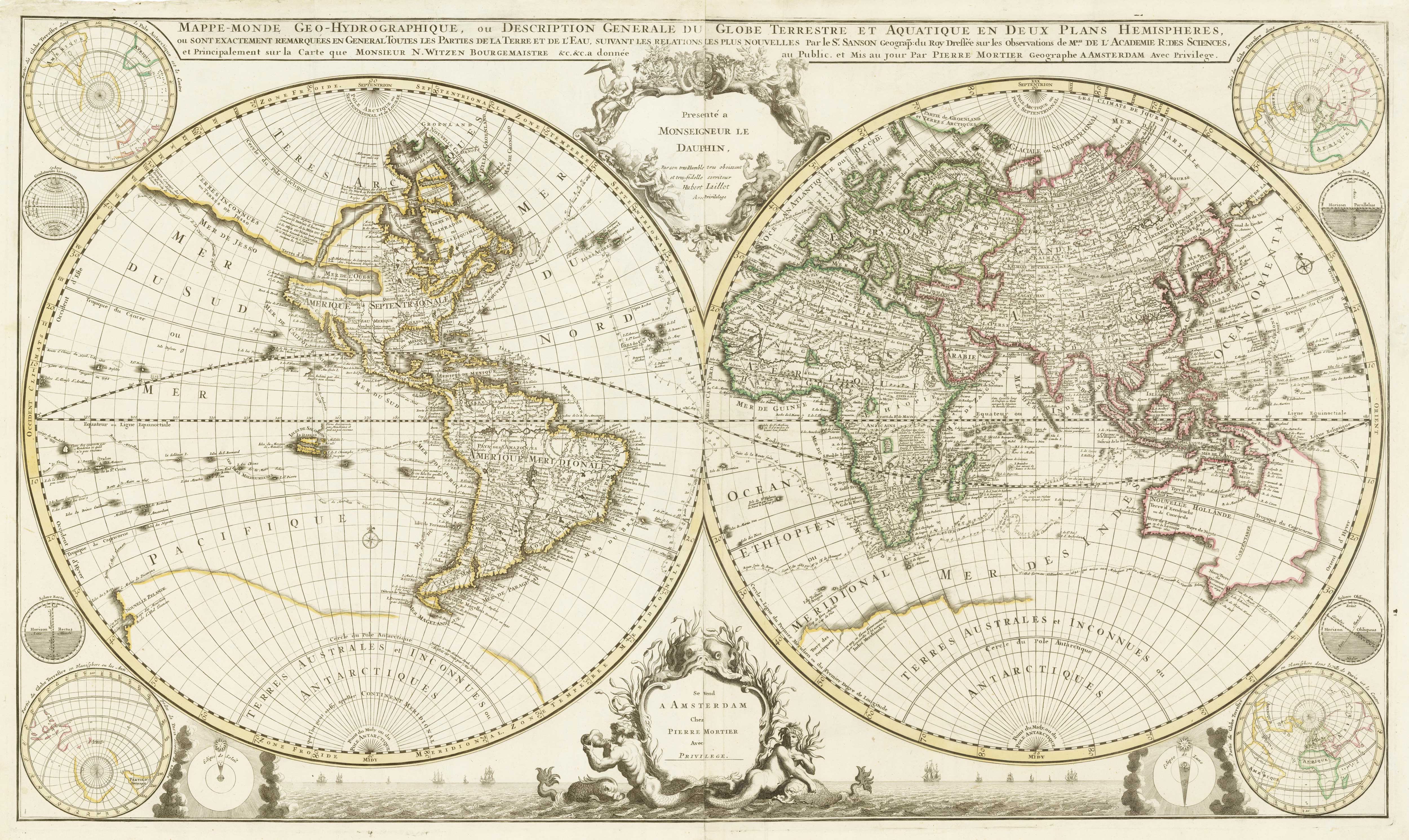
A two-sheet, double-hemisphere world map full of unusual features
MORTIER, Pierre. Date: 1700 Stock #: 24058 £16,000.00
Add to Wishlist
Add to Wishlist
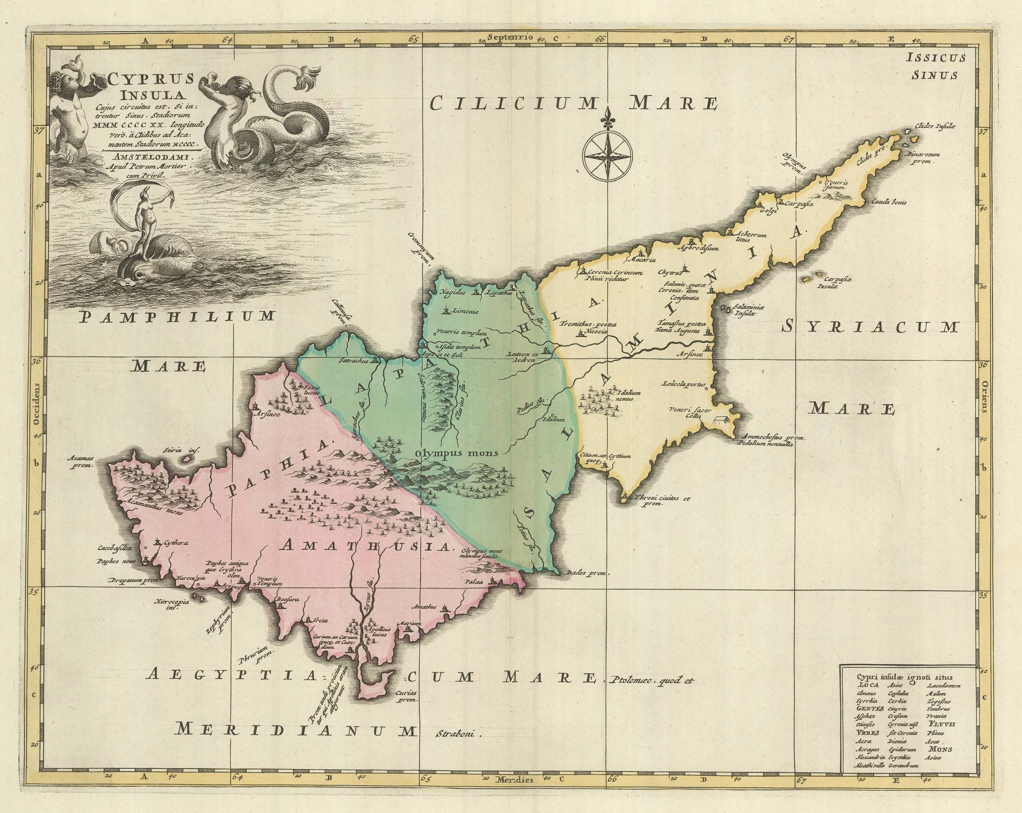
A rare map of Cyprus in classical times
MORTIER, Pierre. Date: 1705 Stock #: 23552 £3,000.00
Add to Wishlist
Add to Wishlist
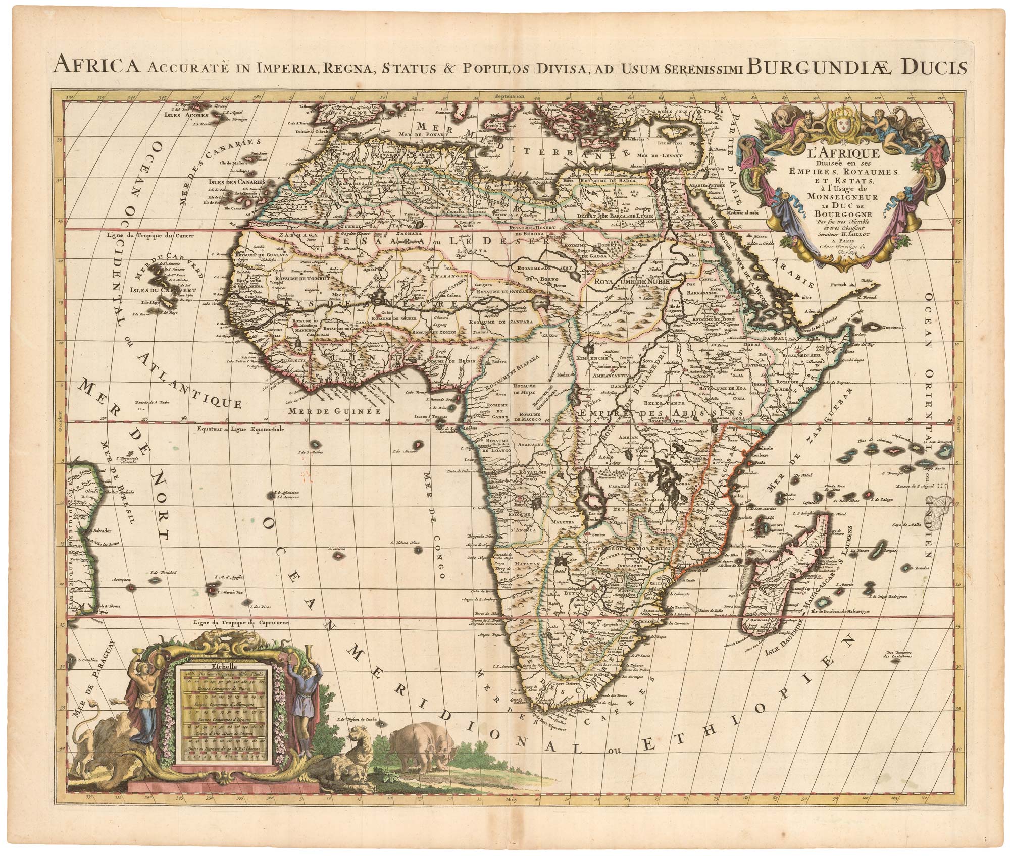
A Dutch pirated edition of a 17th century French map
MORTIER, Pierre. Date: 1694 Stock #: 23096 £780.00
Add to Wishlist
Add to Wishlist