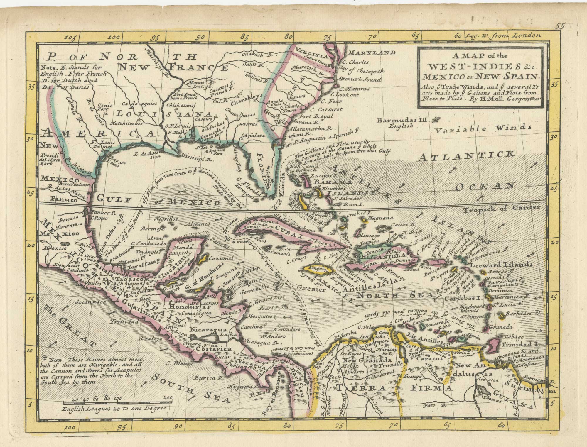


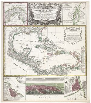
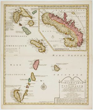
18th century English map of the West Indies
A Map of the West-Indies &c Mexico or New Spain. Also y.e Trade Winds, and ye several Tracts made by ye Galeons and Flota from Place to Place.
London: Thomas Bowles and John Bowles, 1732. Fine original outline colour. 205 x 285mm.
£450.00
Description
A map of central America and the West Indies, but also showing North America to Chesapeake Bay. Of intererst are the tracks of the treasure ships and the route from the Pacific to the Atlantic across Chiapas.
Moll first published his 'Atlas Minor' in 1729 but, shortly after his death in 1732, Thomas Bowles and his son John reissued it with plate numbers added, as this example
Condition:
A good example.Related products
-
British possessions at the end of the Napoleonic War
THOMSON, John. Date: 1816Stock #: 24863 £200.00 -
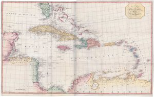
A large two-sheet map of the West Indies
EDWARDS, Bryan. Date: 1818Stock #: 18109 £1,100.00 -
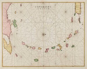
17th century chart of the Lesser Antilles
BLAEU, Johannes. Date: 1662Stock #: 15193 £850.00 -
A decorative 18th century map of the West Indies
HOMANN HEIRS. Date: 1740Stock #: 20882 £750.00 -
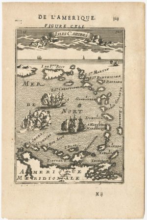
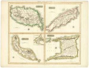
17th century miniature map of the Antilles
MALLET, Alain Manesson. Date: 1683Stock #: 24840 £180.00 -
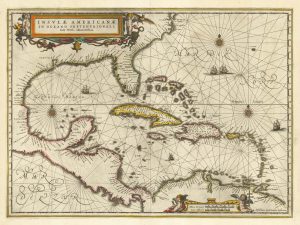
17th century chart of the West Indies
JANSSON, Jan. Date: 1638Stock #: 23161 £1,300.00 -
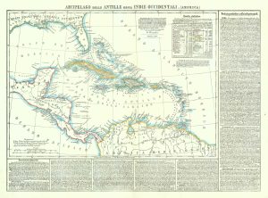
19th century map of the West Indies
MARZOLLA, Benedetto. Date: 1850Stock #: 19380 £220.00 -
Early 18th century map of the Caribbean
OTTENS, Joachim. Date: 1710Stock #: 17440 £1,200.00 -
A British chart of the Lesser Antilles
MOUNT & PAGE. Date: 1748Stock #: 15696 £700.00
Items by the same author
Add to Wishlist
Add to Wishlist
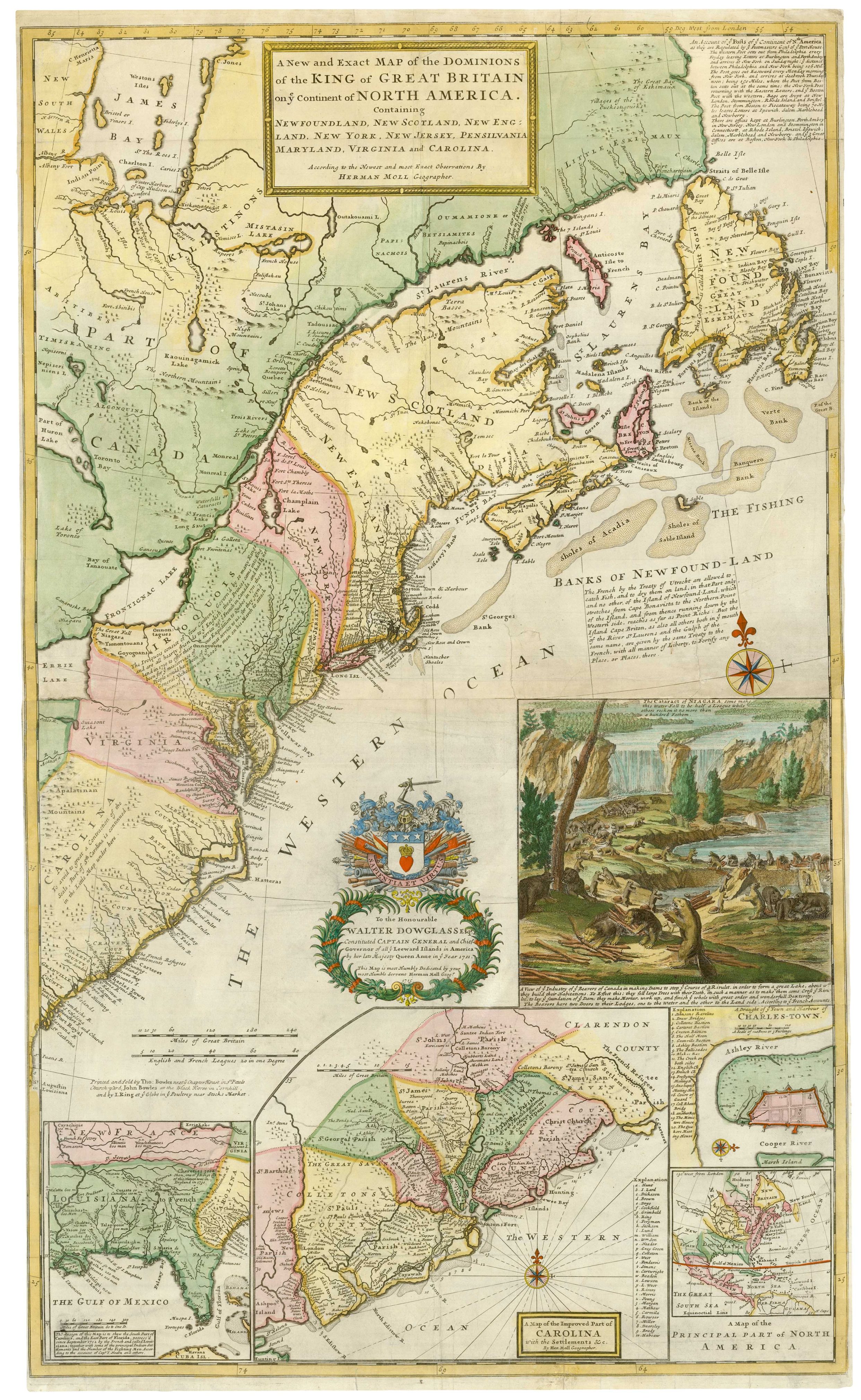
The famous 'Beaver Map' of the British Colonies in America
MOLL, Herman. Date: 1731 Stock #: 25405 £8,500.00
Add to Wishlist
Add to Wishlist
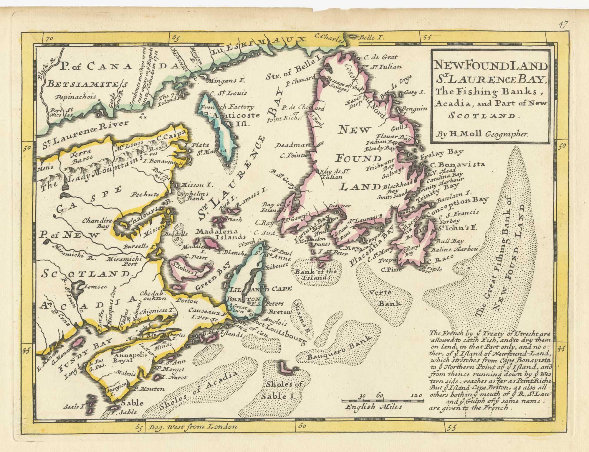
A map of Newfoundland according to the Treaty of Utrecht
MOLL, Herman. Date: 1732 Stock #: 25654 £400.00
Add to Wishlist
Add to Wishlist

18th century English map of Tartary
MOLL, Herman. Date: 1732 Stock #: 25671 £200.00
Add to Wishlist
Add to Wishlist
