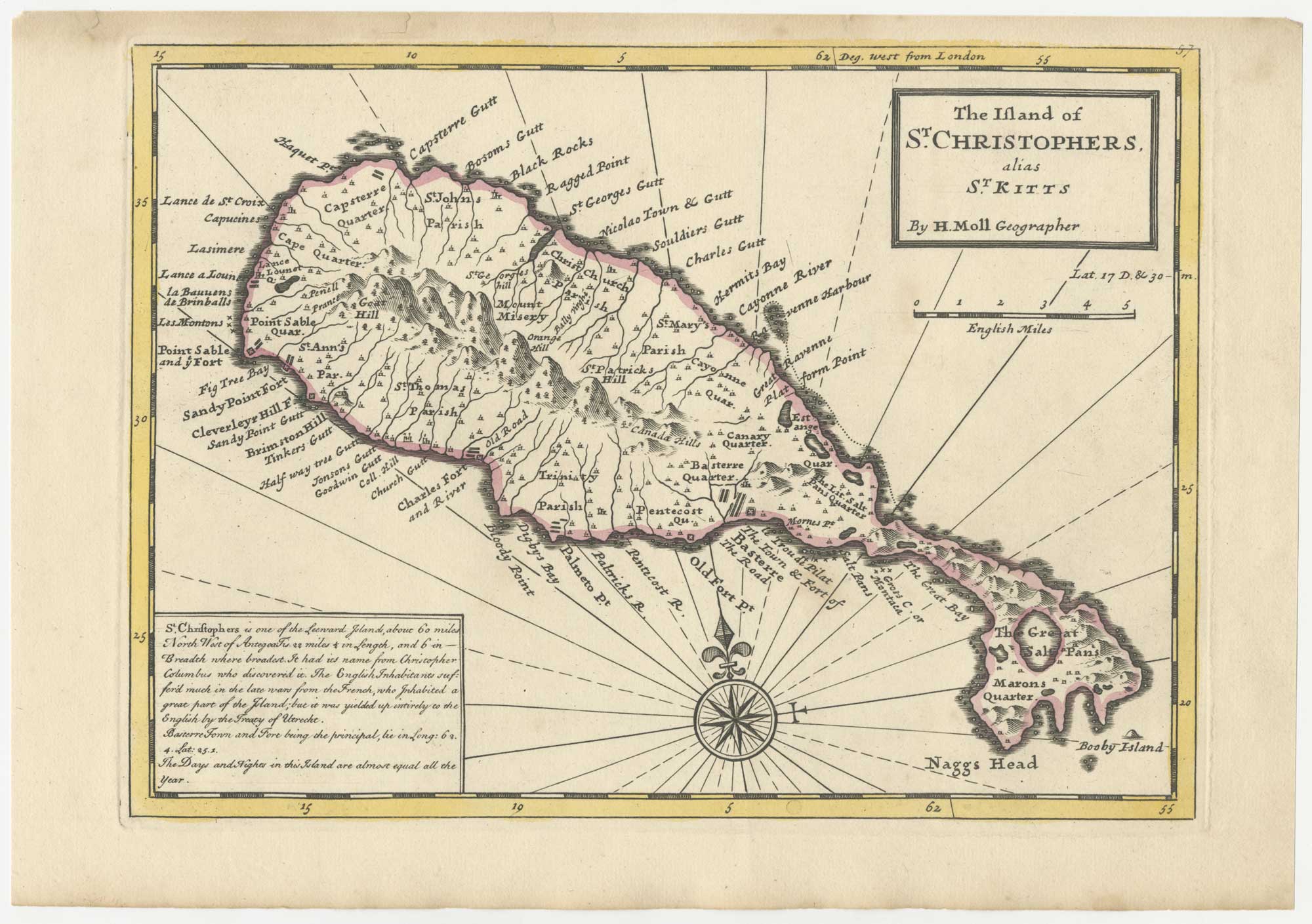


18th century English map of St Kitts
The Island of S.t Christophers, alias S.t Kitts.
London: Thomas Bowles and John Bowles, 1732. Fine original outline colour. 205 x 280mm.
£200.00
Description
A map of Saint Kitts, a British possession since 1670, marking Basseterre and the Great Salt Pond.
Moll first published his 'Atlas Minor' in 1729 but, shortly after his death in 1732, Thomas Bowles and his son John reissued it with plate numbers added, as this example
Condition:
Narrow top margin.Related products
Items by the same author
Add to Wishlist
Add to Wishlist
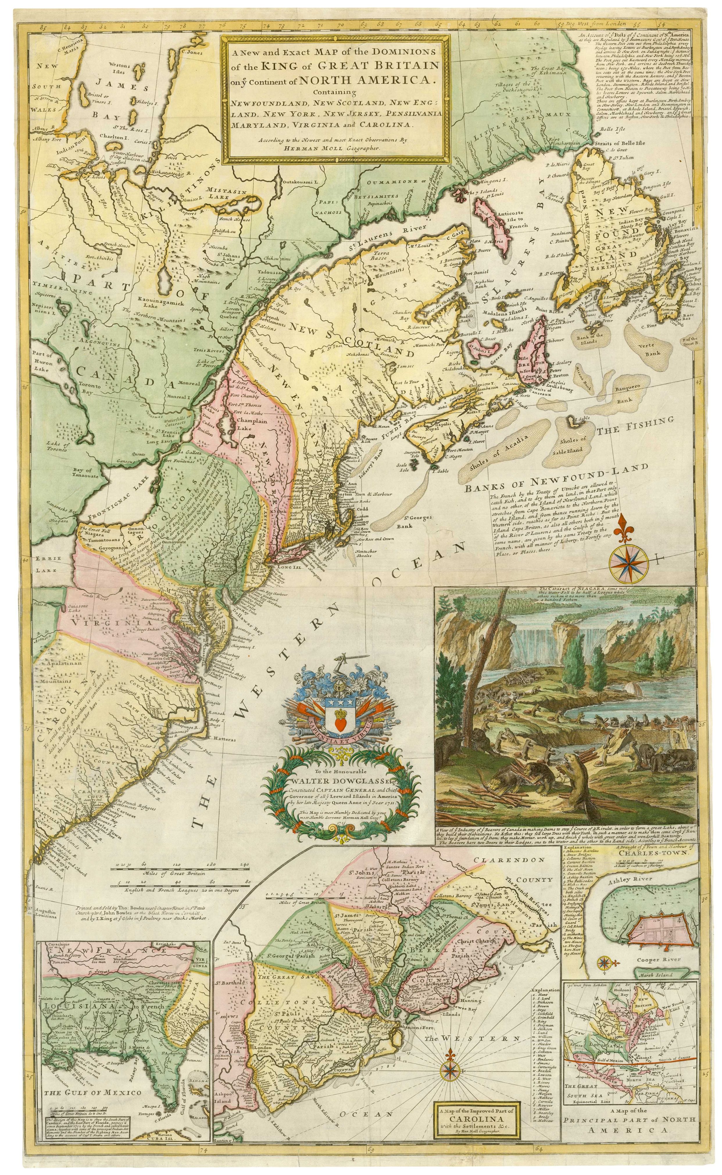
The famous 'Beaver Map' of the British Colonies in America
MOLL, Herman. Date: 1731 Stock #: 25405 £8,500.00
Add to Wishlist
Add to Wishlist
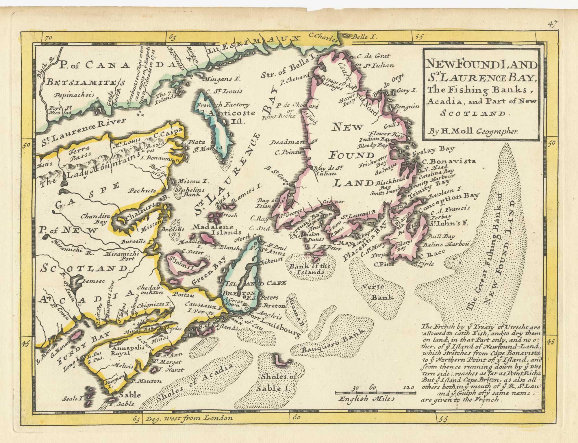
A map of Newfoundland according to the Treaty of Utrecht
MOLL, Herman. Date: 1732 Stock #: 25654 £400.00
Add to Wishlist
Add to Wishlist

18th century English map of Tartary
MOLL, Herman. Date: 1732 Stock #: 25671 £200.00
Add to Wishlist
Add to Wishlist
