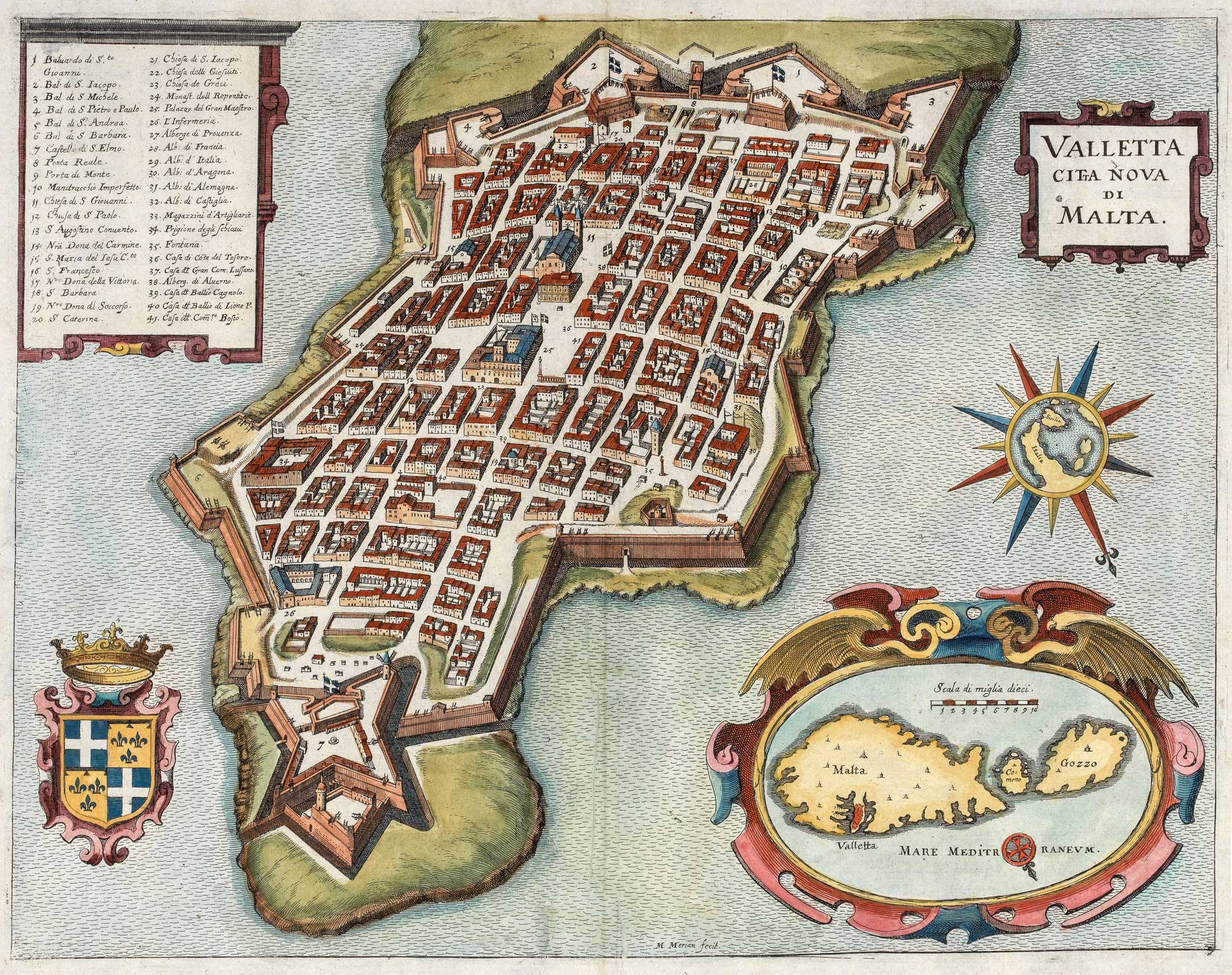


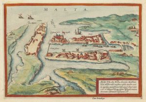
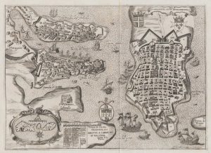
A 17th century plan of Valletta
Valletta Citta Nova di Malta.
Frankfurt, c.1638. Coloured. 280 x 360mm.
£650.00
Description
A map-view prospect of Valletta with a 41-point key, published in Merian's 'Topographia'. An ornate cartouche contains a map of Malta and Gozo, and a compass rose shows the position of Malta in relation to Italy and Sicily.
Condition:
A good example.Related products
-
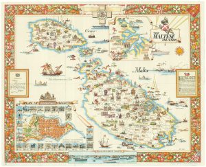
Mid-20th century travel poster of Malta
CIQHERI, Aldo. Date: 1950Stock #: 19416 £440.00 -

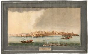
An 18th century vue d’optique of Valletta Harbour
PROBST, Georg Balthasar. Date: 1760Stock #: 21231 £850.00 -
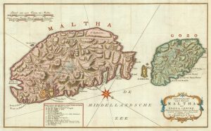
A military map of Malta from the mid-18th century
TIRION, Isaak. Date: 1761Stock #: 19418 £680.00 -
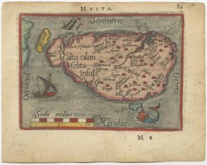
A 16th century miniature map of Malta
ORTELIUS, Abraham. Date: 1593Stock #: 24463 £280.00 -
Early plan of Valletta
BRAUN, Georg & HOGENBERG, Frans. Date: 1600Stock #: 17847 £325.00 -
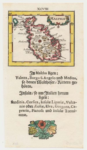
Uncommon miniature map of Malta
MULLER, Johann Ulrich. Date: 1692Stock #: 18043 £250.00 -
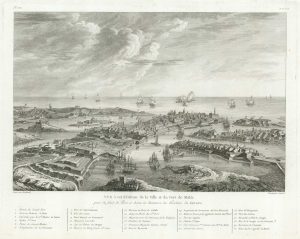
View of Valletta
BERTHAULT. Date: 1785Stock #: 18632 £320.00 -
A rare 18th century view of Valletta
PULLICINO, Alberto. Date: 1770Stock #: 23425 £3,750.00 -
The Knights Hospitallers in Valletta
NABERAT, Anne de. Date: 1629Stock #: 20122 £1,000.00
Items by the same author
Add to Wishlist
Add to Wishlist
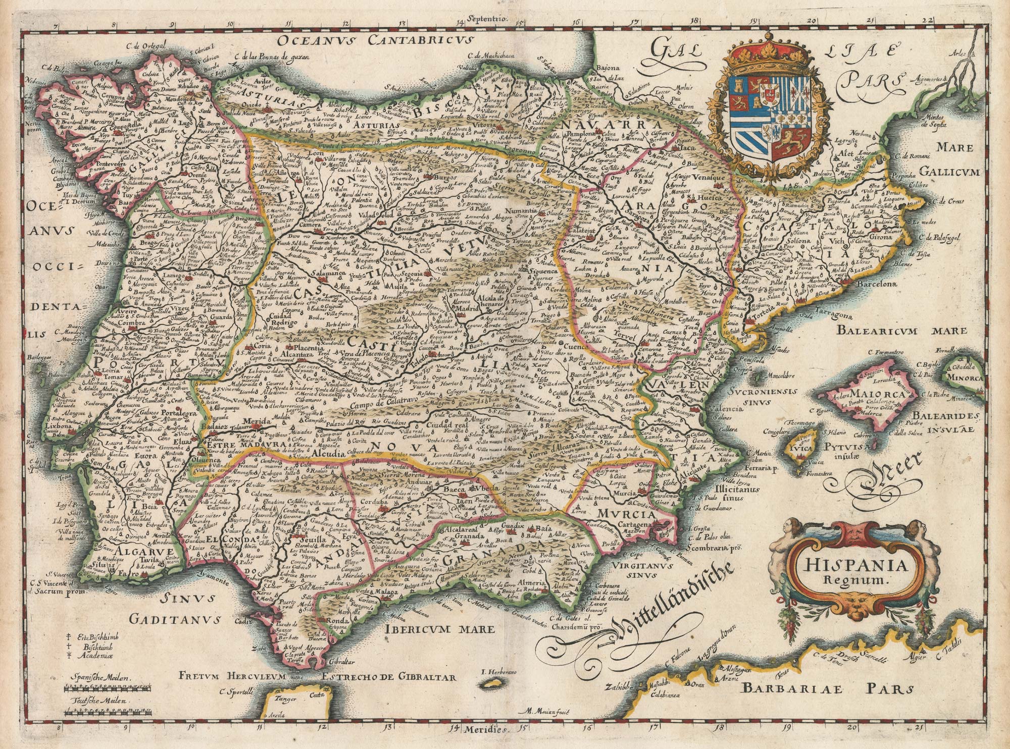
17th century map of Spain and Portugal
MERIAN, Matthaus. Date: 1640 Stock #: 22805 £300.00
Add to Wishlist
Add to Wishlist

17th century bird's-eye view of Siena
MERIAN, Matthaus. Date: 1640 Stock #: 24820 £480.00
Add to Wishlist
Add to Wishlist
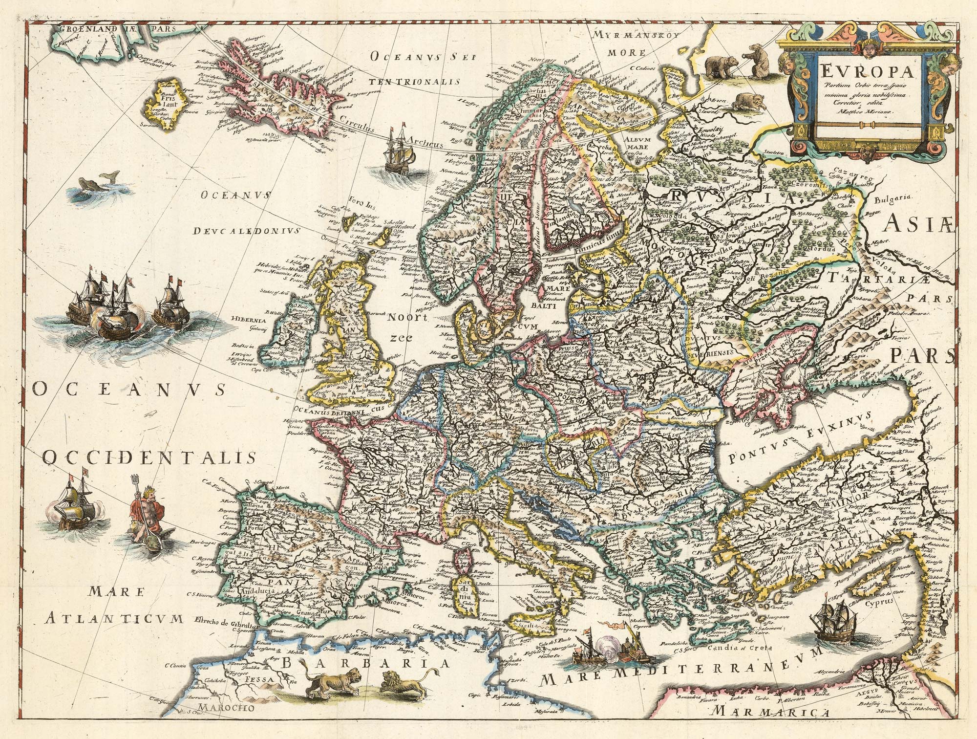
An uncommon 17th century map of Europe
MERIAN, Matthaus. Date: 1640 Stock #: 22936 £750.00
Add to Wishlist
Add to Wishlist
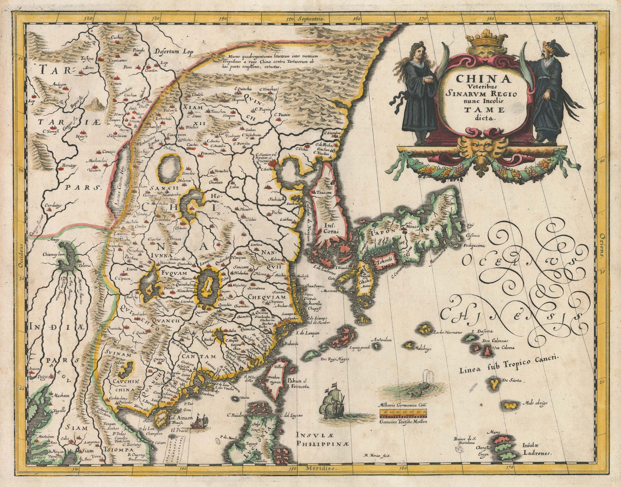
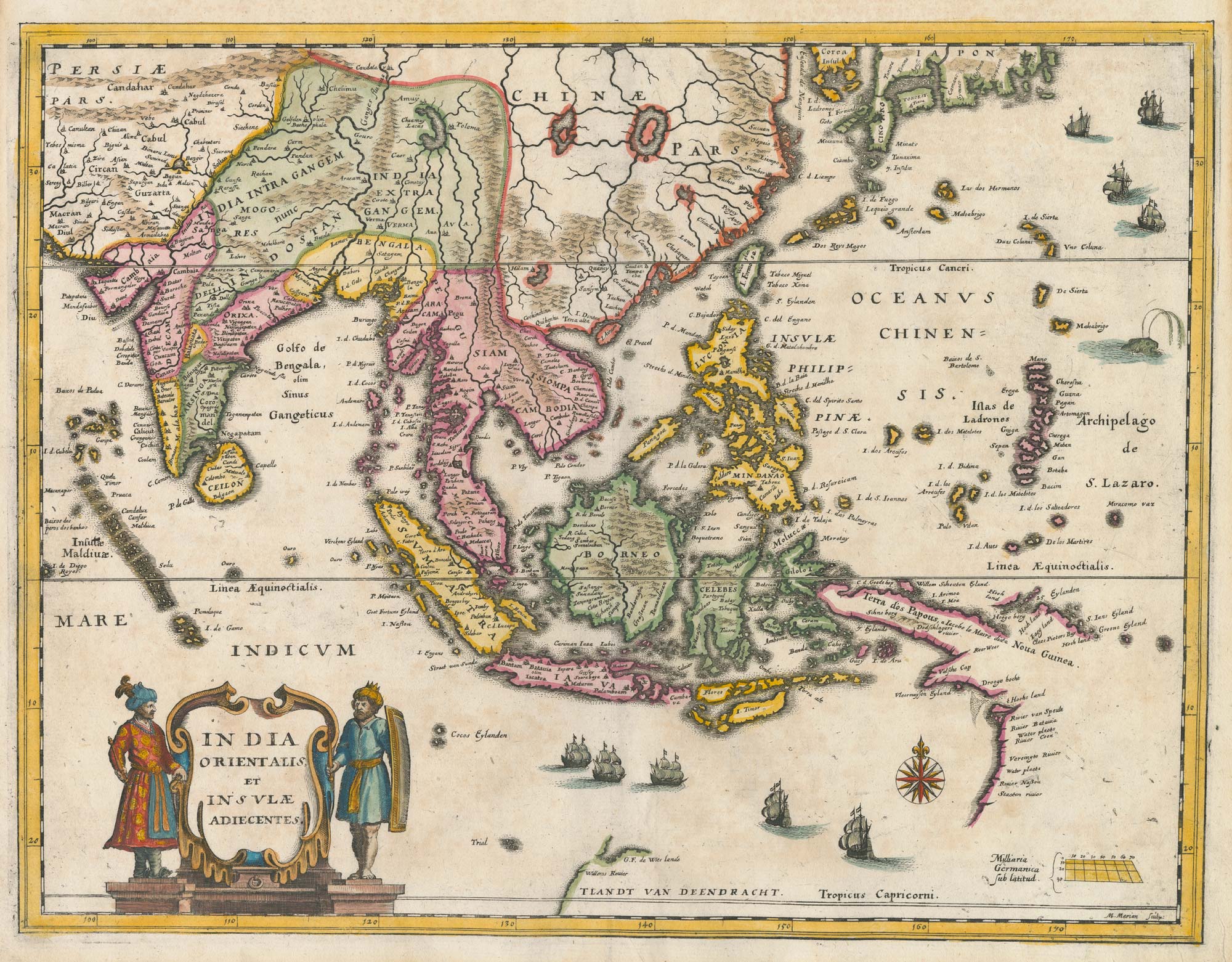
A mid-17th century map of China
MERIAN, Matthaus. Date: 1650 Stock #: 22922 £750.00
Add to Wishlist
Add to Wishlist

A mid-17th century plan of Moscow
MERIAN, Matthaus. Date: 1650 Stock #: 22919 £800.00
Add to Wishlist
Add to Wishlist