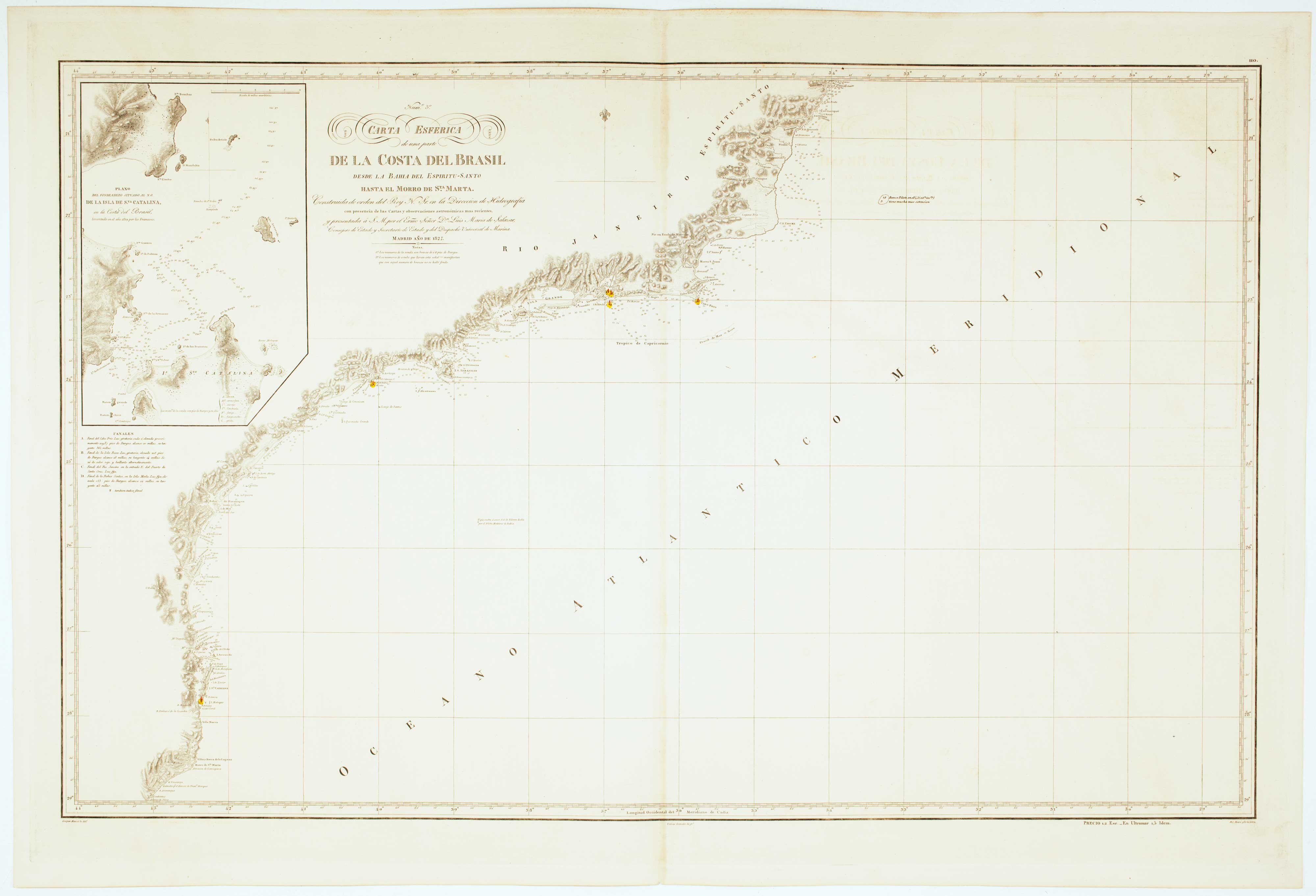


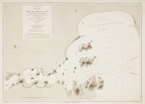
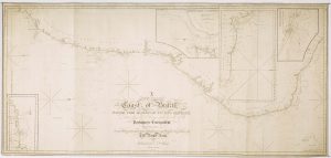
Sea chart of the Brazilian coast, with Rio de Janeiro
Carta Esferica de una parte de la Costa del Brasil desde la Bahia de Espiritu-Santo hasta el Morro de S.ta Marta.
Madrid: Direccion de Hidrografia, 1827. Touches of original colour. 660 x 980mm. Blind stamp of the Direccion de Hidrografia.
£950.00
1 in stock
x
Question About This Item?
Sea chart of the Brazilian coast, with Rio de Janeiro & MASSA, Gaspar.Stock #: 12512
Add to Wishlist
Export as PDFEnquireSimilar to Sell?Add to Wishlist
Description
A large and detailed sea chart of the coast of Brazil from Espiritu Santo to Morro de Santa Marta, just south of the Island of Santa Catarina, marking Rio de Janeiro and Santos, with an inset detail of the Santa Catarina. The lighthouses are marked in colour.
Condition:
A good example.Related products
-
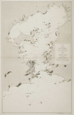
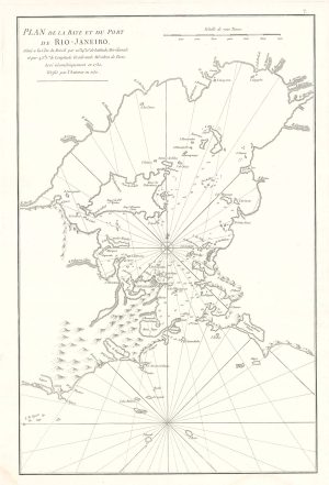
An uncommon 19th century Spanish sea chart of the Bay of Rio de Janeiro
TUBAU, I. Date: 1869Stock #: 12499 £1,200.00 -
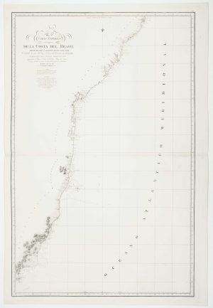
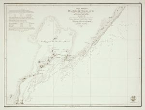
An uncommon 19th century Spanish sea chart of the Brazilian coast
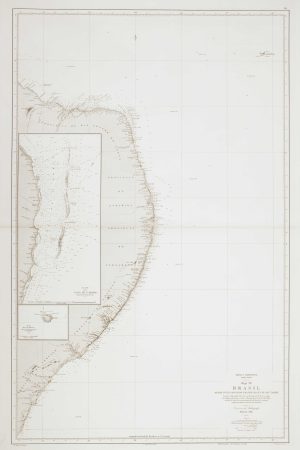
MASSA, Gaspar. Date: 1827Stock #: 12511 £850.00 -
Sea chart of Espiritu Santo
MOUCHEZ, Amédée Ernest Barthémy. Date: 1870Stock #: 12509 £300.00 -
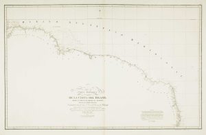
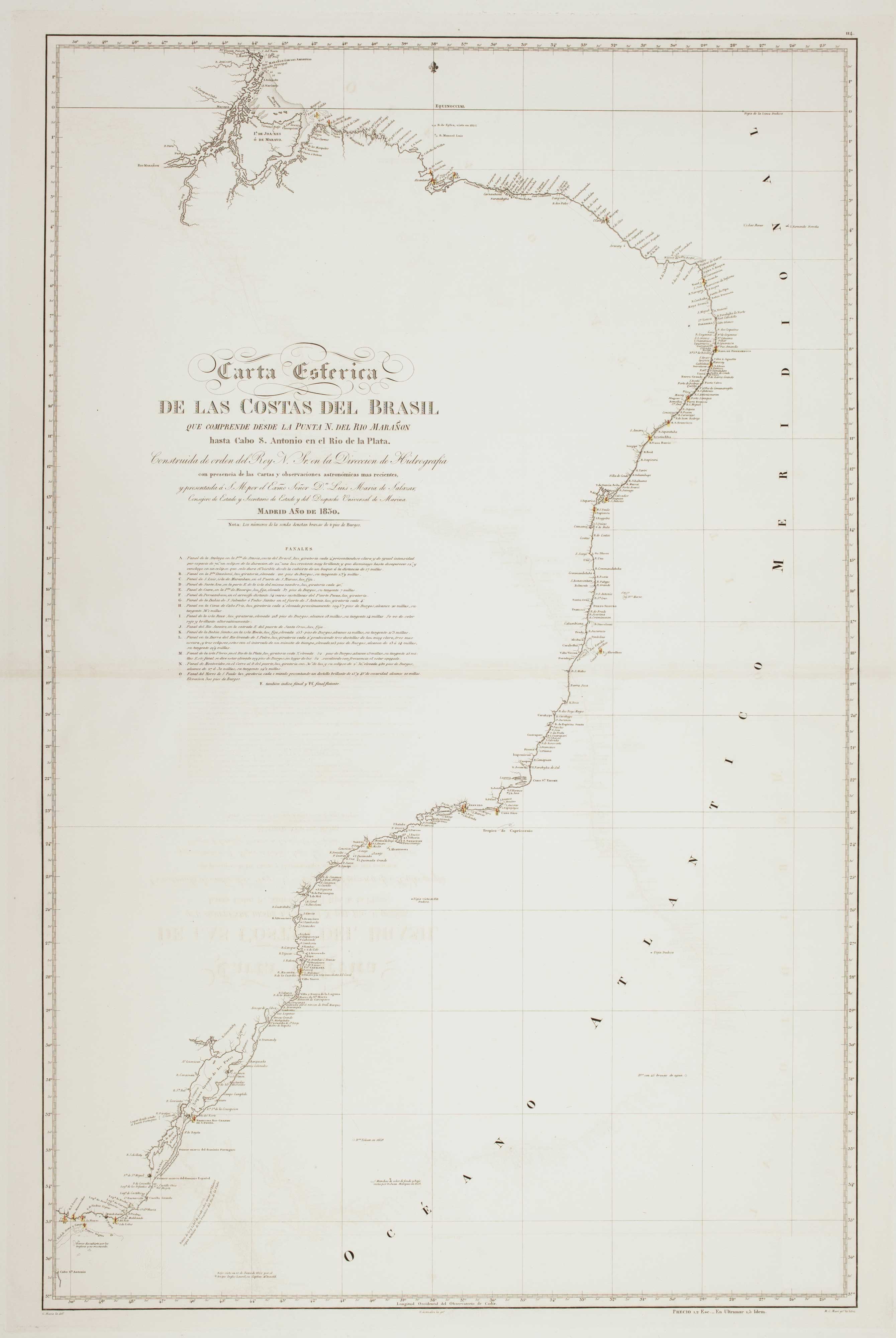
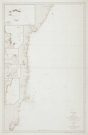
19th century Spanish sea chart of the north Brazilian coast
MASSA, Gaspar. Date: 1827Stock #: 12510 £750.00 -
Scarce sea chart of the harbour of Rio de Janeiro
APRÈS DE MANNEVILLETTE, Jean Baptiste d'. Date: 1775Stock #: 19729 £750.00 -
An uncommon Spanish sea chart of Bahia de Todos os Santos
NOGUERA, Juan. Date: 1845Stock #: 12508 £380.00 -
A detailed American ‘blue-back’ sea chart of the Brazilian coastline
BLUNT, E. & G.W. Date: 1840Stock #: 10336 £1,200.00 -
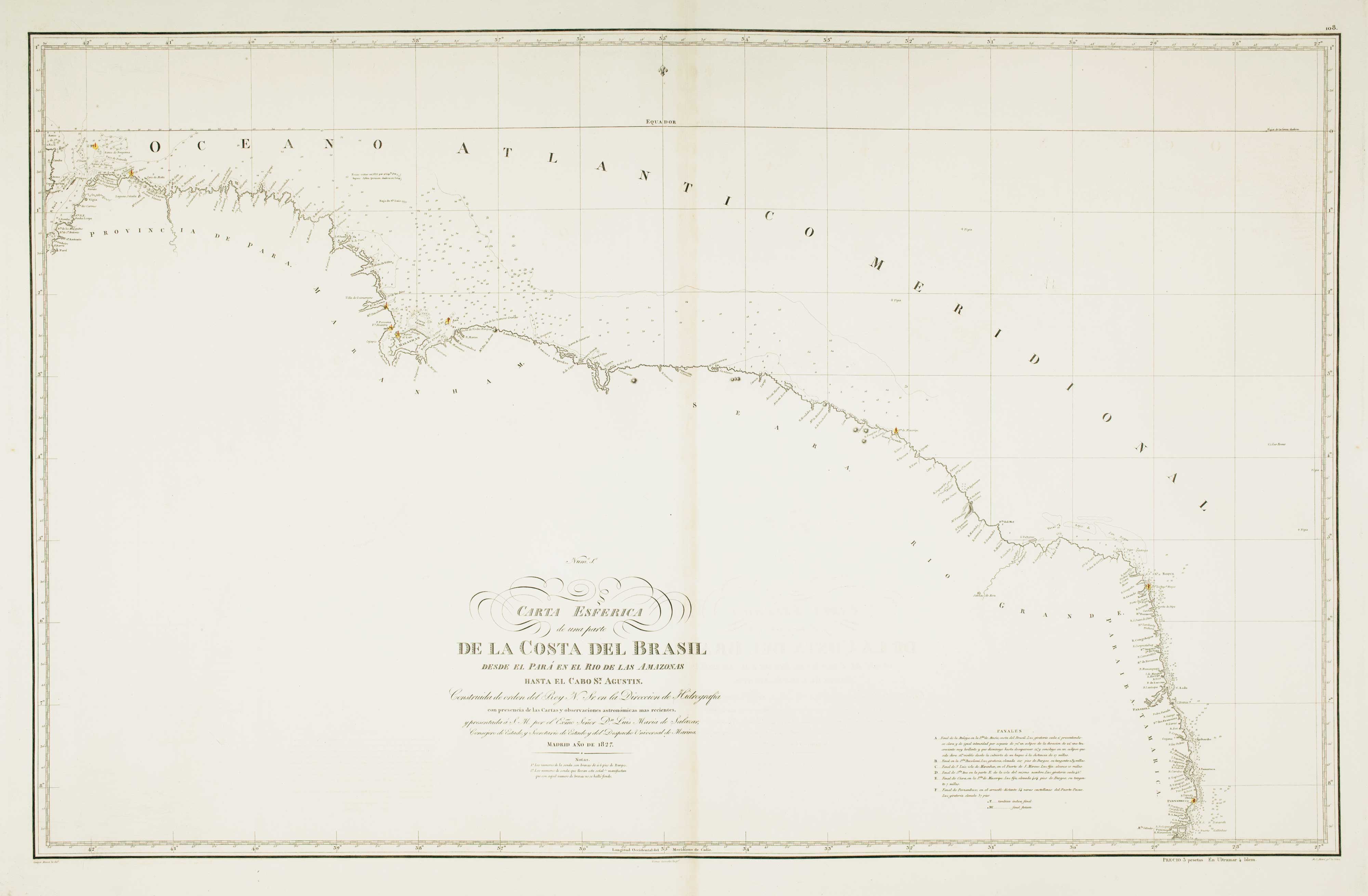
19th century Spanish sea chart of the Brazilian coast
FERREIRO, Martin Date: 1866Stock #: 12501 £650.00 -
19th century Spanish sea chart of the Brazilian coast
FERREIRO, Martin Date: 1867Stock #: 12500 £650.00
Items by the same author
Add to Wishlist
Add to Wishlist
19th century Spanish sea chart of the north Brazilian coast
MASSA, Gaspar. Date: 1827 Stock #: 12510 £750.00
Add to Wishlist
Add to Wishlist

An uncommon 19th century Spanish sea chart of the Brazilian coast
MASSA, Gaspar. Date: 1827 Stock #: 12511 £850.00
Add to Wishlist
Add to Wishlist