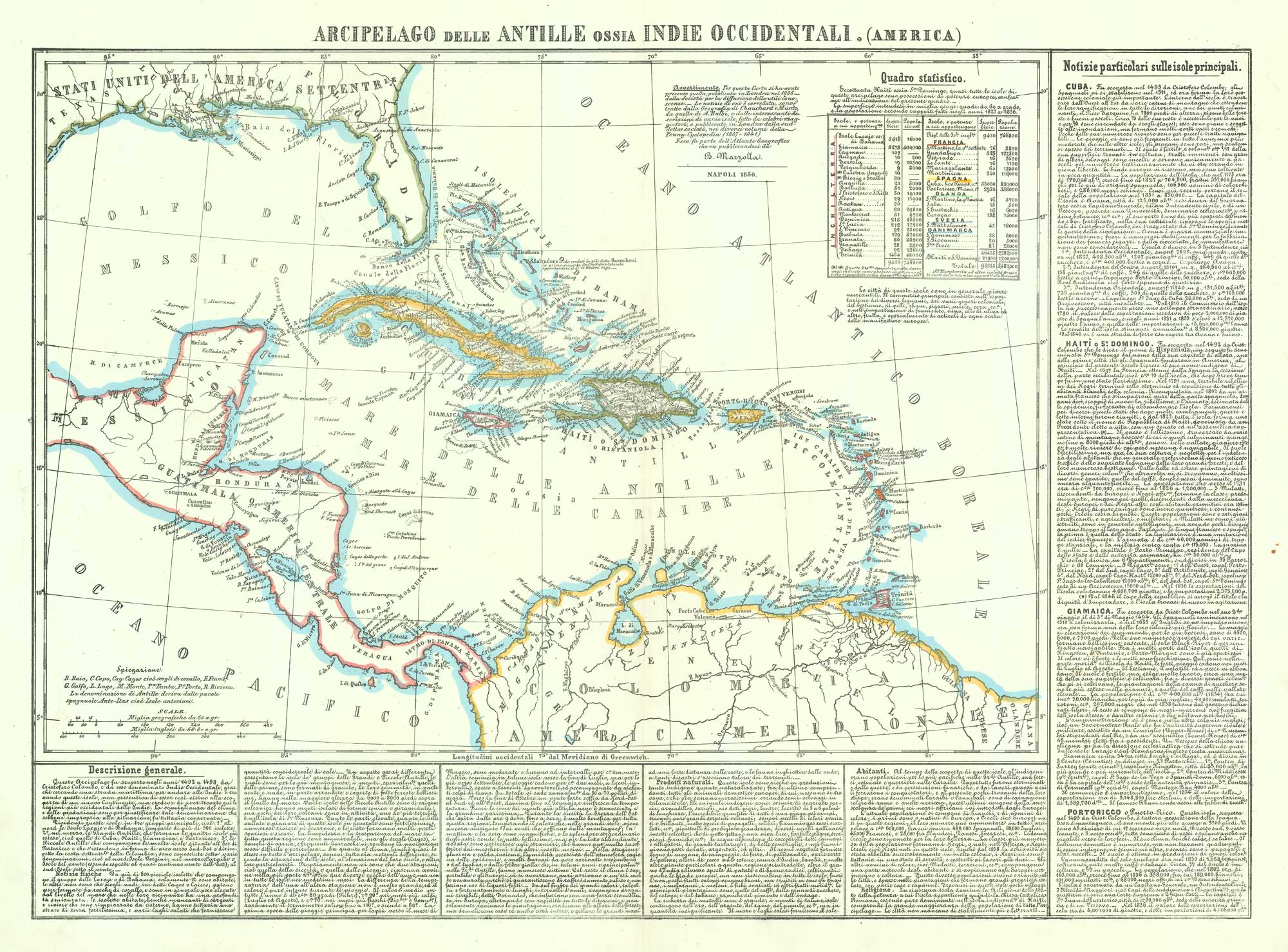


19th century map of the West Indies
Arcipelago delle Antille ossia Indie Occidentali. (America).
Naples, 1850. Coloured lithograph, image size 450 x 620mm.
£220.00
Description
A large and detailed map of the West Indies, with extensive explanatory texts giving geographical historical and political information. Published in the Atlante Geographico.
Condition:
A good example.Related products
-
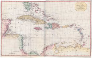
A large two-sheet map of the West Indies
EDWARDS, Bryan. Date: 1818Stock #: 18109 £1,100.00 -
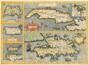
17th century old maps of the West Indian Islands
HONDIUS, Jodocus. Date: 1623Stock #: 23456 £1,200.00 -
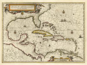
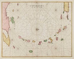
17th century chart of the West Indies
JANSSON, Jan. Date: 1638Stock #: 23161 £1,300.00 -
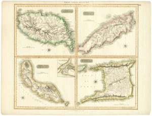
British possessions at the end of the Napoleonic War
THOMSON, John. Date: 1816Stock #: 24863 £200.00 -
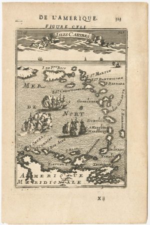
17th century miniature map of the Antilles
MALLET, Alain Manesson. Date: 1683Stock #: 24840 £180.00 -
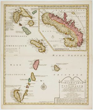
Early 18th century map of the Caribbean
OTTENS, Joachim. Date: 1710Stock #: 17440 £1,200.00 -
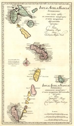
A two-sheet map of the Lesser Antilles
WEIGEL, Christoph. Date: 1747Stock #: 25324 £500.00 -
17th century chart of the Lesser Antilles
BLAEU, Johannes. Date: 1662Stock #: 15193 £850.00 -
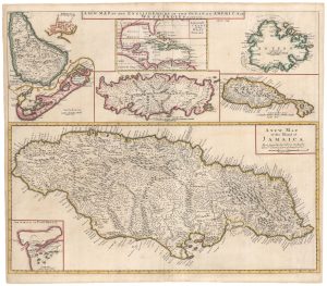
The English possessions in the West Indies
SENEX, John. Date: 1721Stock #: 23423 £850.00