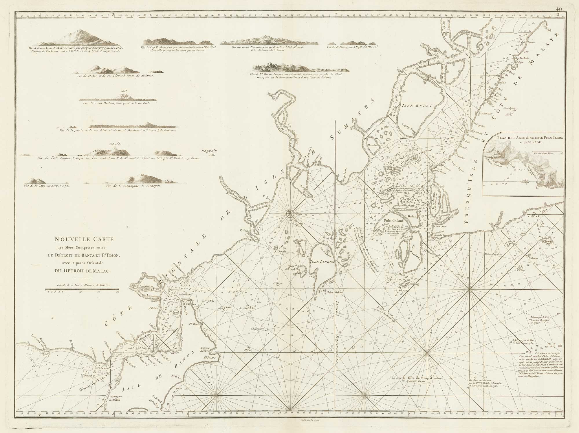


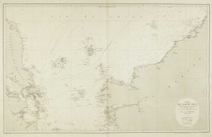
A sea chart of the environs of Singapore
Nouvelle Carte des Mers Comprises entre le Détroit de Banca et P.o Timon, avec la partie Orientale du Détroit de Malac.
Paris, c.1775. 515 x 680mm.
£2,000.00
1 in stock
x
Question About This Item?
A sea chart of the environs of Singapore & APRÈS DE MANNEVILLETTE, Jean Baptiste d'.Stock #: 19834
Add to Wishlist
Export as PDFEnquireSimilar to Sell?Add to Wishlist
Description
A sea chart, orientated with north to the right, showing the environs of Singapore, the Malacca strait, part of the north coast of Sumatra and the island Bangka. Singapore appears as 'I. de Jatana ou de Saincapour'. Part of Galang ('Pulo Gallant') is marked as unknown.
From the enlarged edition of Mannevillette's 'Le Neptune Oriental', his guide for sailing to the East Indies, based on his own experience and other captains of the Compagnie des Indes.
Condition:
A good example.Related products
-
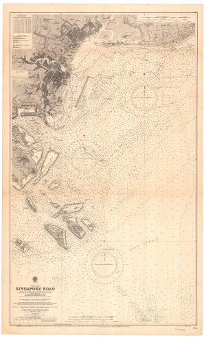
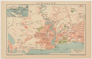
A detailed sea chart of Singapore
BRITISH ADMIRALTY. Date: 1931Stock #: 22931 £3,000.00 -
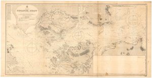
A detailed sea chart of the Singapore Strait
BRITISH ADMIRALTY. Date: 1931Stock #: 22929 £2,600.00 -
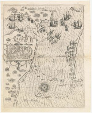
The first European map of Singapore
DE BRY, Theodore. Date: 1603Stock #: 23471 £6,500.00 -
A 16th century miniature map of the Malay Peninsula
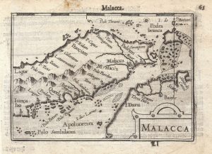
LANGENES, Barent. Date: 1599Stock #: 21268 £300.00 -
Sea chart of the South China Sea
DE LORENZO, J. Date: 1864Stock #: 12457 £750.00 -
Miniature plan of Singapore
BROCKHAUS, F. A.. Date: 1663Stock #: 24697 £240.00 -

One of the first views of Singapore by a professional artist
DANIELL, William. Date: 1830Stock #: 20043 £4,000.00 -
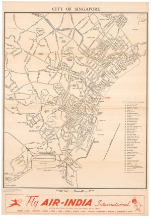
Scarce town plan of Singapore in the 1950s
FEDERATION OF MALAYA SURVEY DEPT. Date: 1953Stock #: 23955 £1,200.00
Items by the same author
Add to Wishlist
Add to Wishlist
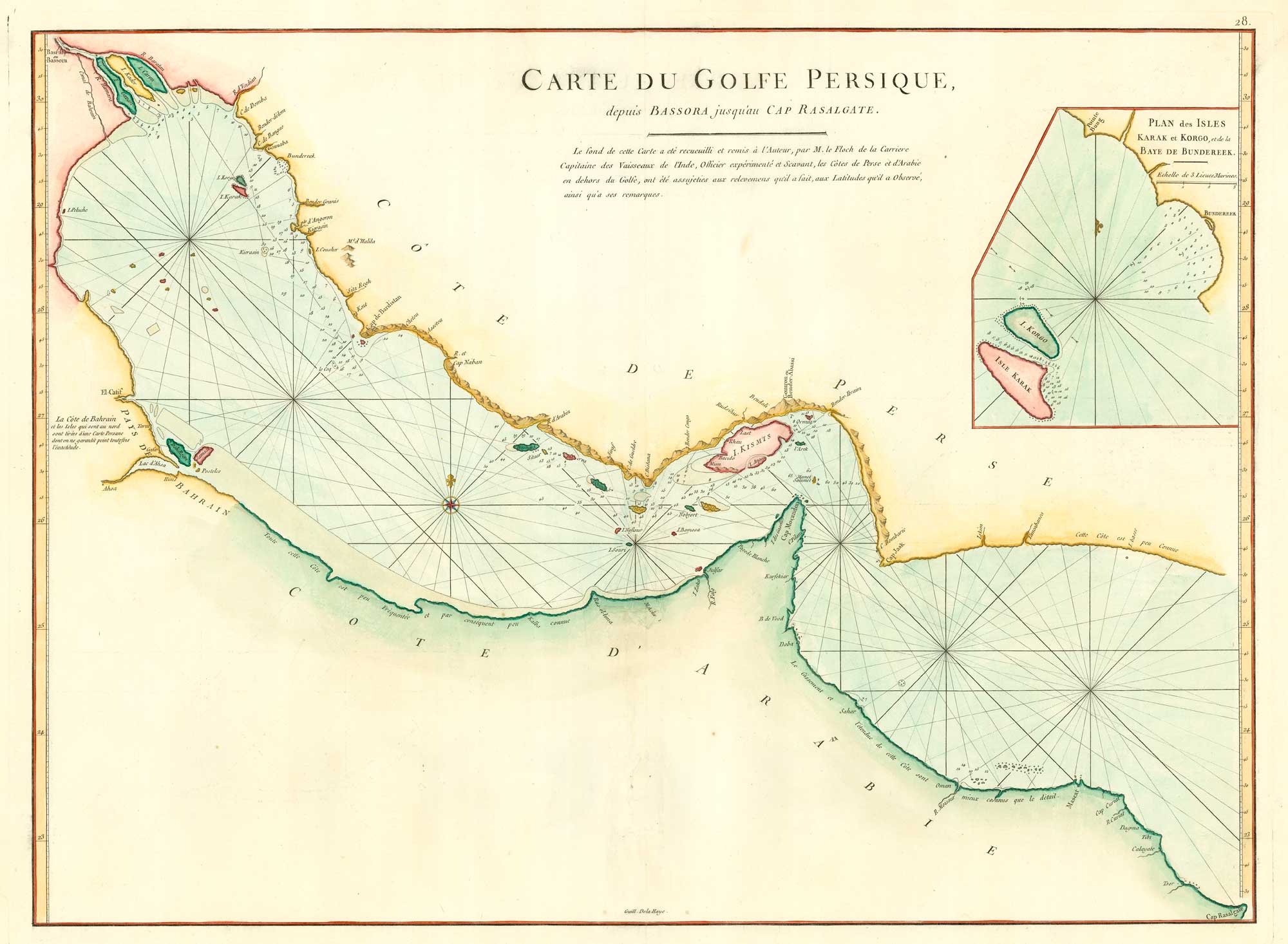
18th century chart of the Persian Gulf
APRÈS DE MANNEVILLETTE, Jean Baptiste d'. Date: 1775 Stock #: 20158 £1,400.00
Add to Wishlist
Add to Wishlist
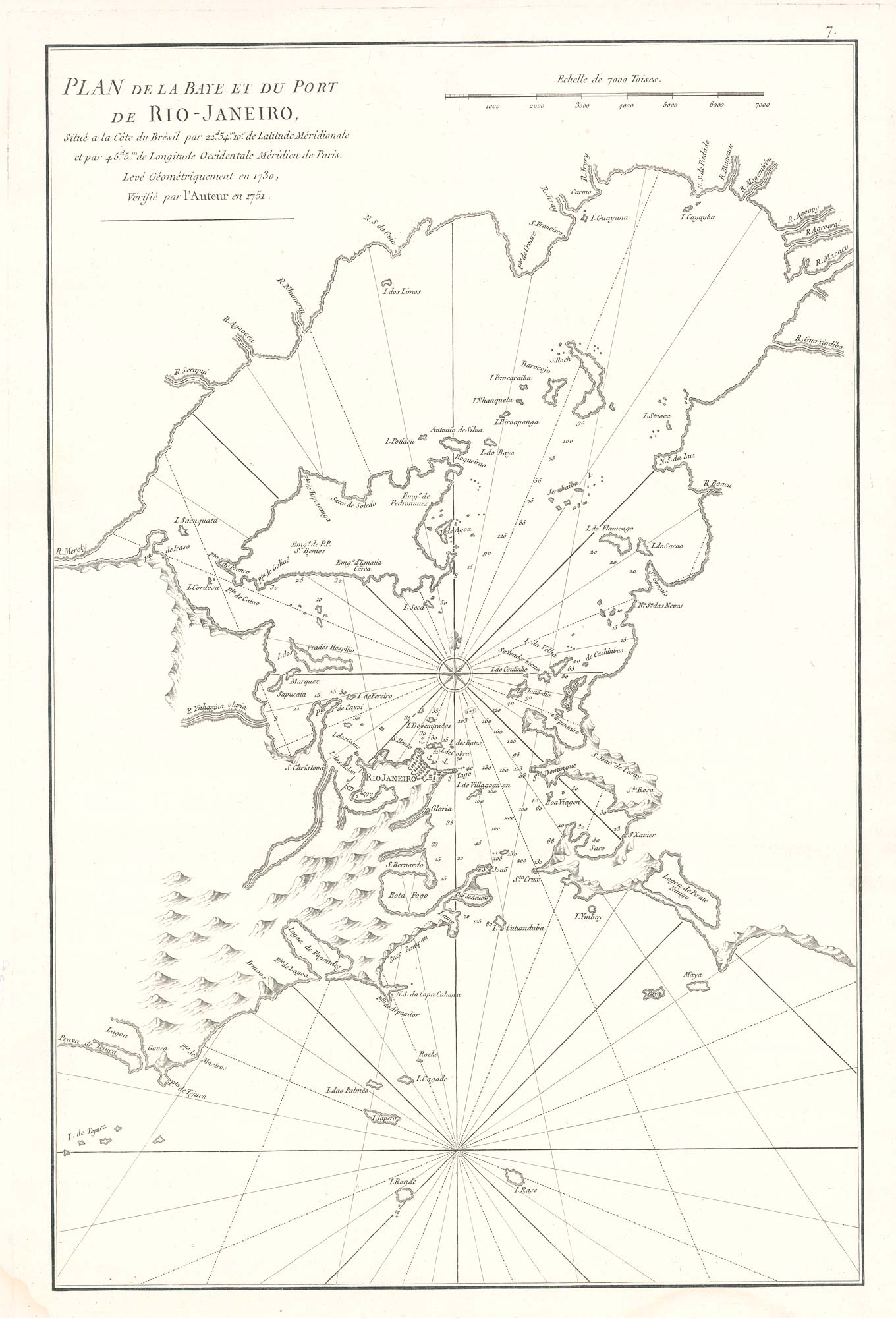
Scarce sea chart of the harbour of Rio de Janeiro
APRÈS DE MANNEVILLETTE, Jean Baptiste d'. Date: 1775 Stock #: 19729 £750.00
Add to Wishlist
Add to Wishlist
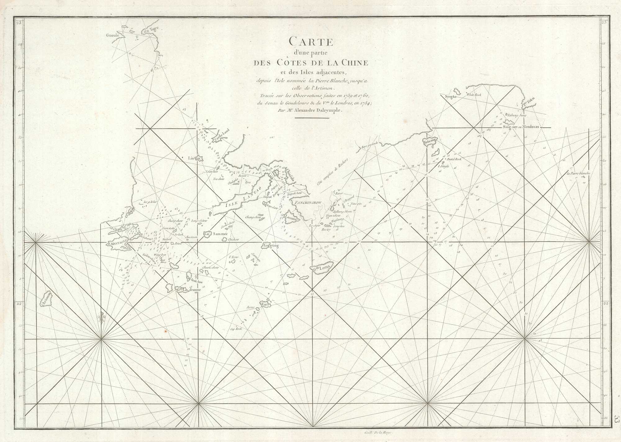
An important sea chart of the environs of Hong Kong and Macao
APRÈS DE MANNEVILLETTE, Jean Baptiste d'. Date: 1775 Stock #: 19839 £2,950.00
Add to Wishlist
Add to Wishlist
