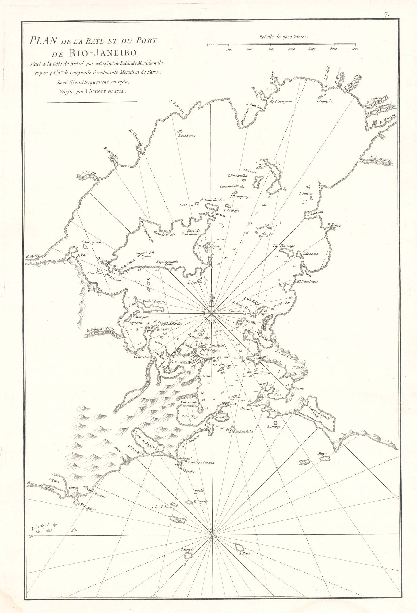


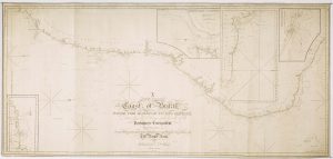
Scarce sea chart of the harbour of Rio de Janeiro
Plan de la Baye et du Port de Rio-Janeiro Situé à la Côte du Brésil par 22d 54m 10s de Latitude Meridionale et par 45d. 5m de Longitude Occidentale Méridien de Paris. Levé Géométriquement en 1730. Vérifié par l'Auteur en 1751.
Paris, 1775. 515 x 345mm.
£750.00
1 in stock
x
Question About This Item?
Scarce sea chart of the harbour of Rio de Janeiro & APRÈS DE MANNEVILLETTE, Jean Baptiste d'.Stock #: 19729
Add to Wishlist
Export as PDFEnquireSimilar to Sell?Add to Wishlist
Description
Important early chart of the Bay of Rio De Janeiro by Apres De Mannevillette, which appeared in the 1775 edition of his Neptune Orientale, one of the most significant Hydrographical works of the 18th century. It provides excellent detail throughout the map, including soundings, anchorages, islands, bays, and other topographical and hydrographical details.
Condition:
A good example.Related products
-
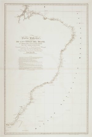
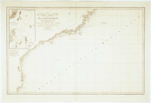
19th century Spanish sea chart of the Brazilian coast
FERREIRO, Martin Date: 1867Stock #: 12500 £650.00 -

Sea chart of Espiritu Santo
MOUCHEZ, Amédée Ernest Barthémy. Date: 1870Stock #: 12509 £300.00 -
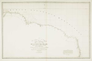
An uncommon 19th century Spanish sea chart of the Brazilian coast
MASSA, Gaspar. Date: 1830Stock #: 12514 £850.00 -
An uncommon 19th century Spanish sea chart of Pernambuco
NOGUERA, Juan. Date: 1854Stock #: 12507 £360.00 -
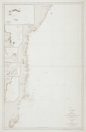
A detailed American ‘blue-back’ sea chart of the Brazilian coastline
BLUNT, E. & G.W. Date: 1840Stock #: 10336 £1,200.00 -
19th century Spanish sea chart of the north Brazilian coast
MASSA, Gaspar. Date: 1827Stock #: 12510 £750.00 -
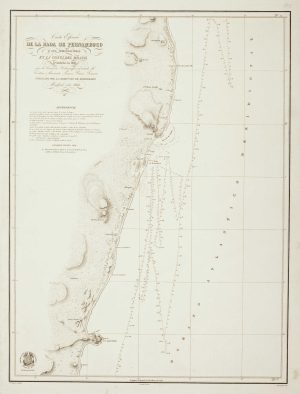
Sea chart of the Brazilian coast, with Rio de Janeiro
MASSA, Gaspar. Date: 1827Stock #: 12512 £950.00 -
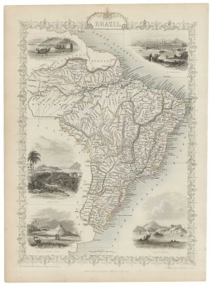
Mid-19th century map of Brazil with decorative vignettes
TALLIS, John. Date: 1851Stock #: 21590 £150.00 -

An account of an Italian voyage to Brazil with a fine prospect of Rio de Janeiro
RODRIGUEZ, Eugenio. Date: 1844Stock #: 19347 £3,950.00
Items by the same author
Add to Wishlist
Add to Wishlist
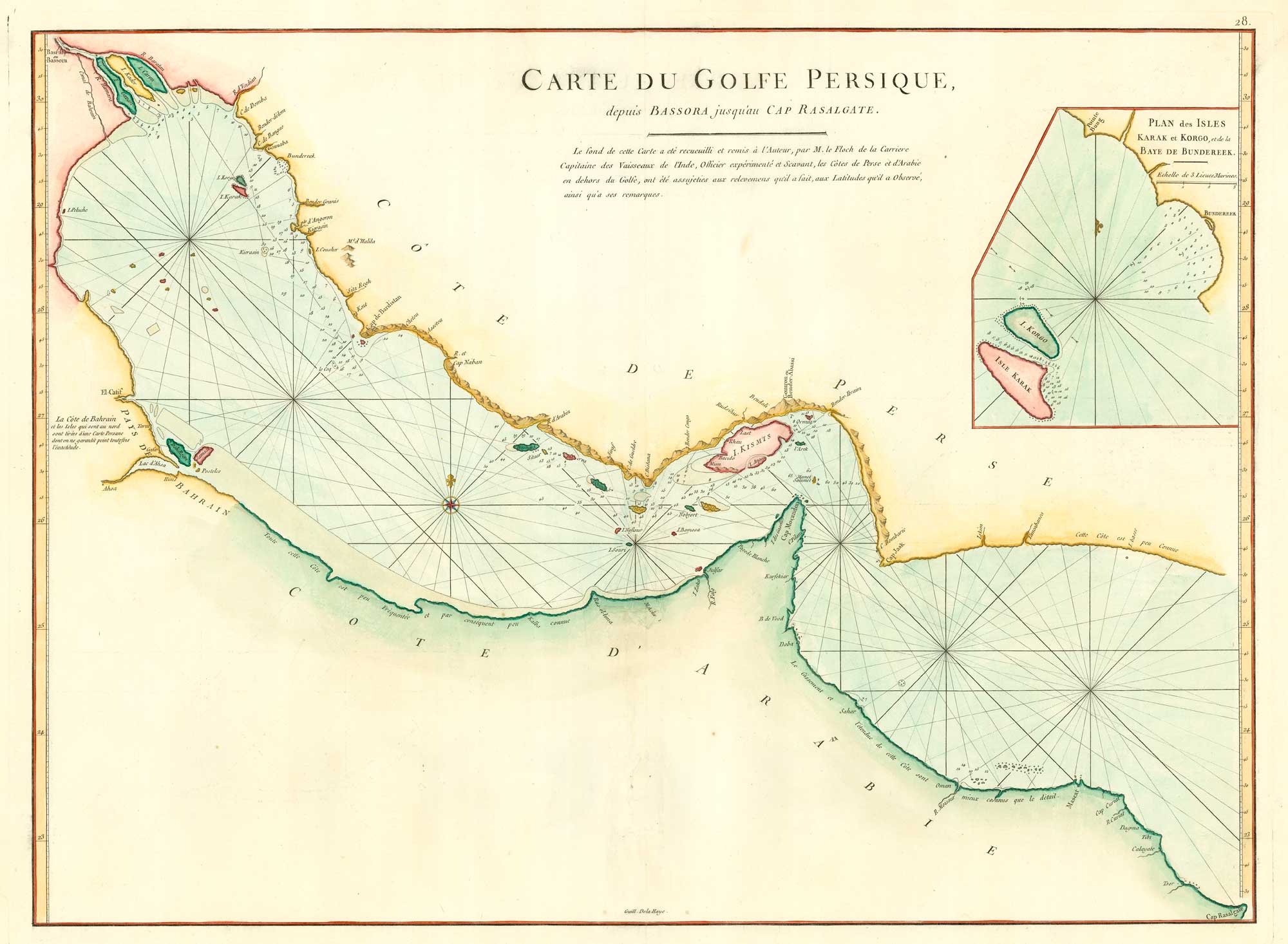
18th century chart of the Persian Gulf
APRÈS DE MANNEVILLETTE, Jean Baptiste d'. Date: 1775 Stock #: 20158 £1,400.00
Add to Wishlist
Add to Wishlist
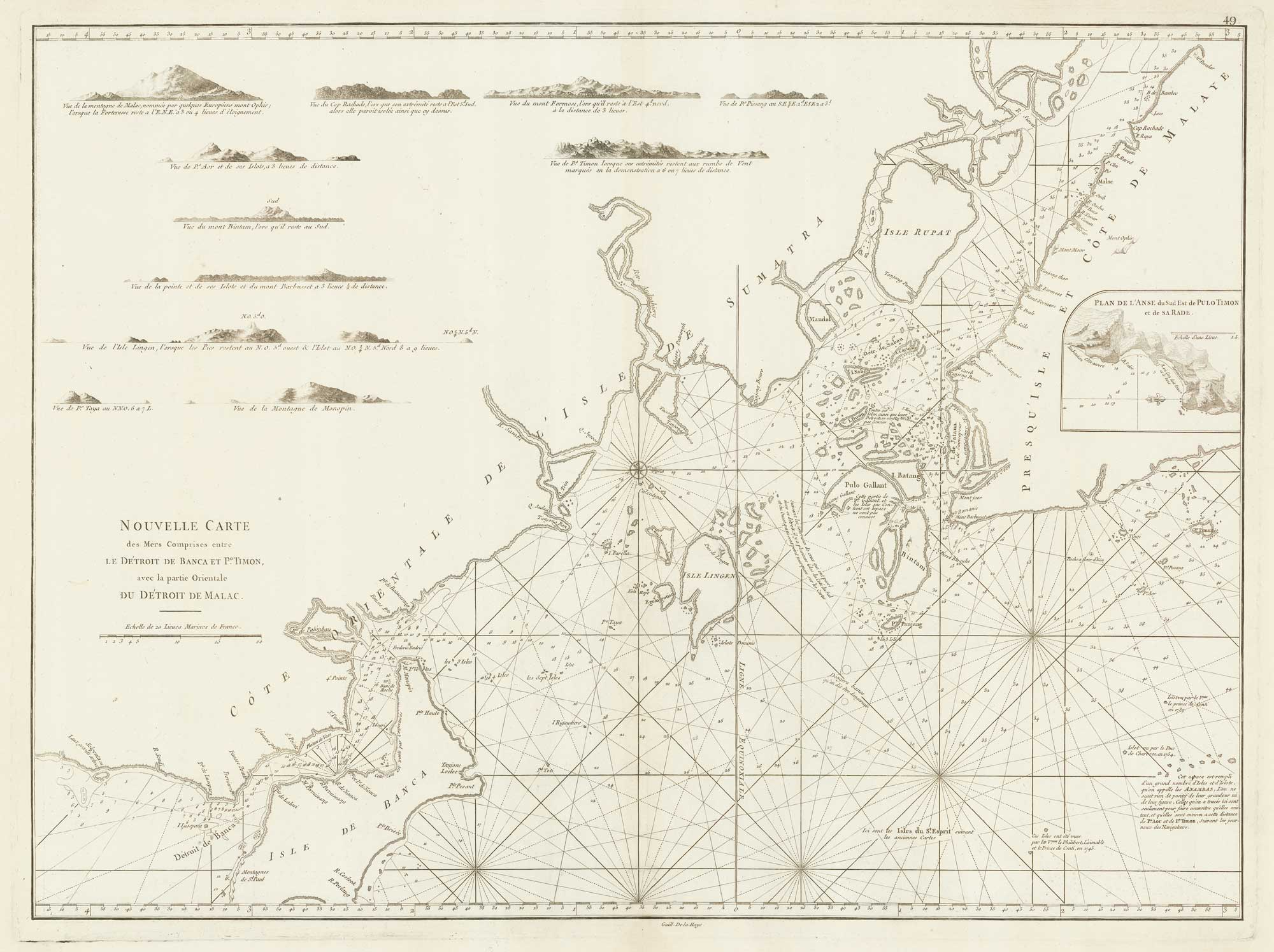
A sea chart of the environs of Singapore
APRÈS DE MANNEVILLETTE, Jean Baptiste d'. Date: 1775 Stock #: 19834 £2,000.00
Add to Wishlist
Add to Wishlist
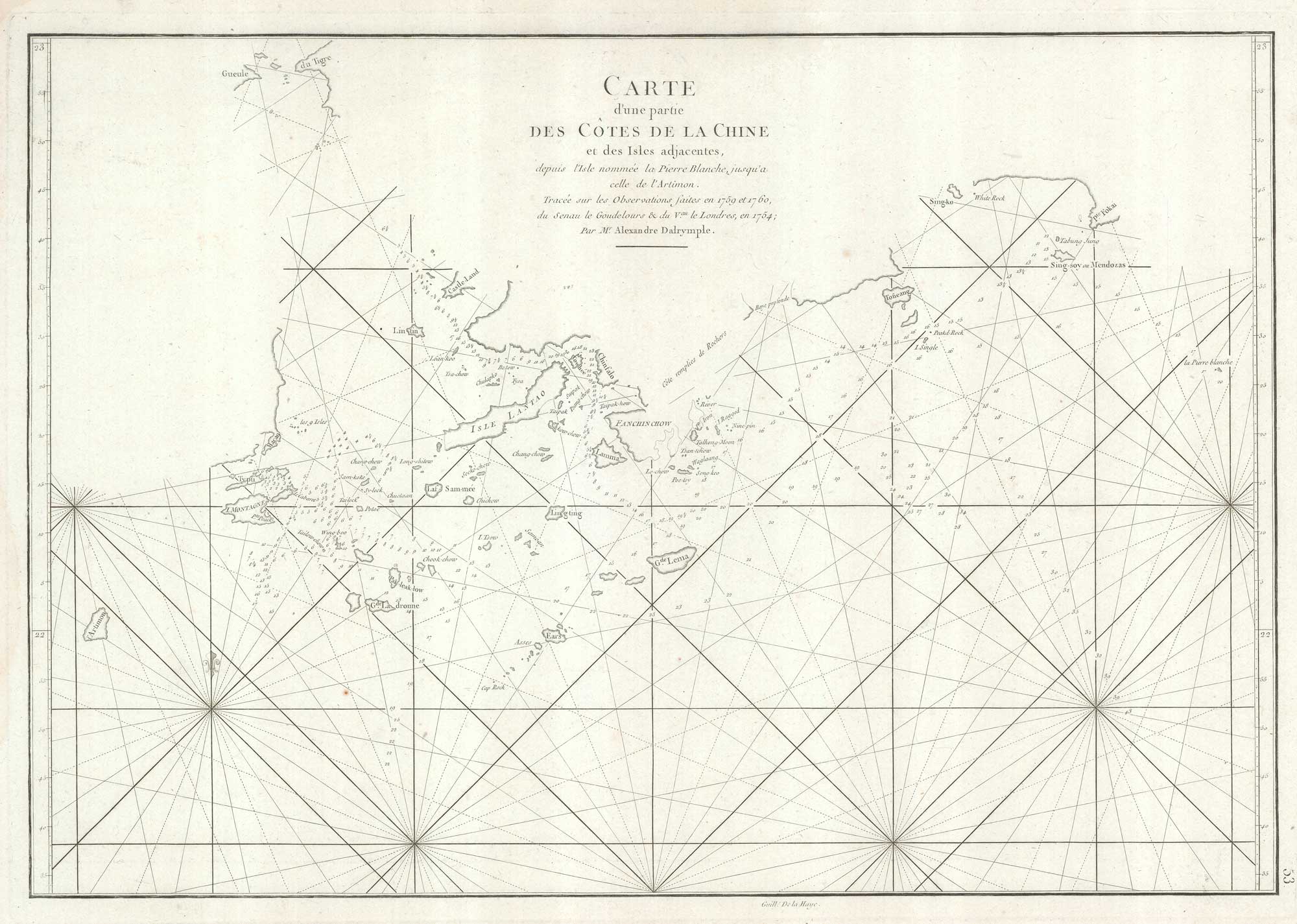
An important sea chart of the environs of Hong Kong and Macao
APRÈS DE MANNEVILLETTE, Jean Baptiste d'. Date: 1775 Stock #: 19839 £2,950.00
Add to Wishlist
Add to Wishlist
