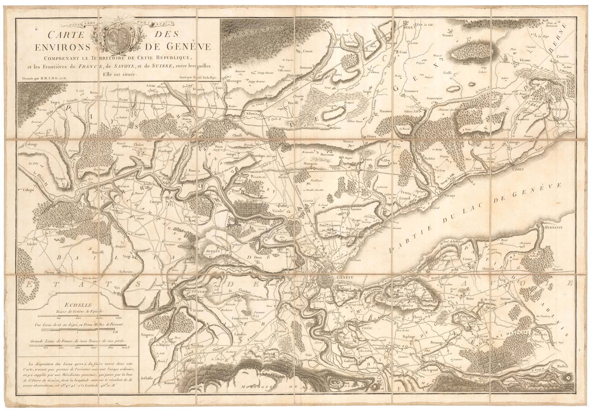


An unusual map of the environs of Geneva
Carte des Environs de Genève, Comprenant le Territoire de cette République et les Frontières de France, de Savoye et de Suisse, entre lesquelles Elle est située.
Geneva?, 1776. Dissected and laid on linen, as issued, total 500 x 725mm.
£300.00
Description
A folding map of the environs of Geneva, extending to Beaumont in the south west, clockwise to Collognes, Péron, Saint-Genis-Pouilly, Chevry, Gex, Divonne-les-Bains & Crassier, with Hermance, Machilly and Gaillard south of Lake Geneva.
The map was drawn by Henri Mallet (1727-1811) of Geneva and engraved by Guillaume Delahaye, as the Franco-Swiss alliance, with the promise of Swiss independence and neutrality, was being renewed.
Condition:
A good example.Related products
-
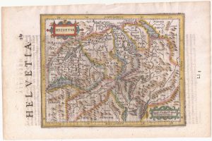
Switzerland from the first English Edition of the ‘Atlas Minor’
HONDIUS, Jodocus II. Date: 1635Stock #: 22440 £180.00 -

A mid-19th century view of Berne
DEROY, Isidore Laurent. Date: 1840Stock #: 21371 £750.00 -
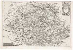
An unknown Italian map of Switzerland
Anonymous. Date: 1637Stock #: 22301 £6,800.00 -
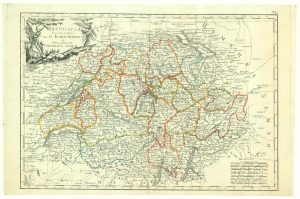
Extremely rare Russian edition of Bonne’s map of Switzerland
BONNE, Rigobert. Date: 1793Stock #: 20512 £650.00 -
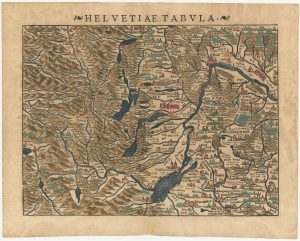
A 16th century woodcut map of Switzerland
MUNSTER, Sebastian. Date: 1572Stock #: 24570 £400.00 -
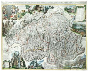
18th century map of Switzerland
SEUTTER, Matthaus. Date: 1760Stock #: 18948 £220.00 -
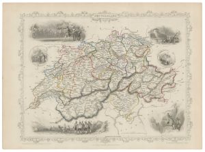
Mid 19th century map of Switzerland with decorative vignettes
TALLIS, John. Date: 1851Stock #: 21633 £110.00 -

Finely-printed portrait of a Swiss cartographer
REINHARDT, Joseph. Date: 1786Stock #: 20323 £240.00 -
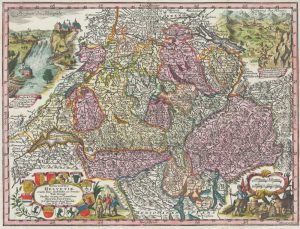
A monumental 18th century wall map of Switzerland on four sheets
SCHEUCHZER, Johann Jakob. Date: 1712Stock #: 24499 £6,500.00