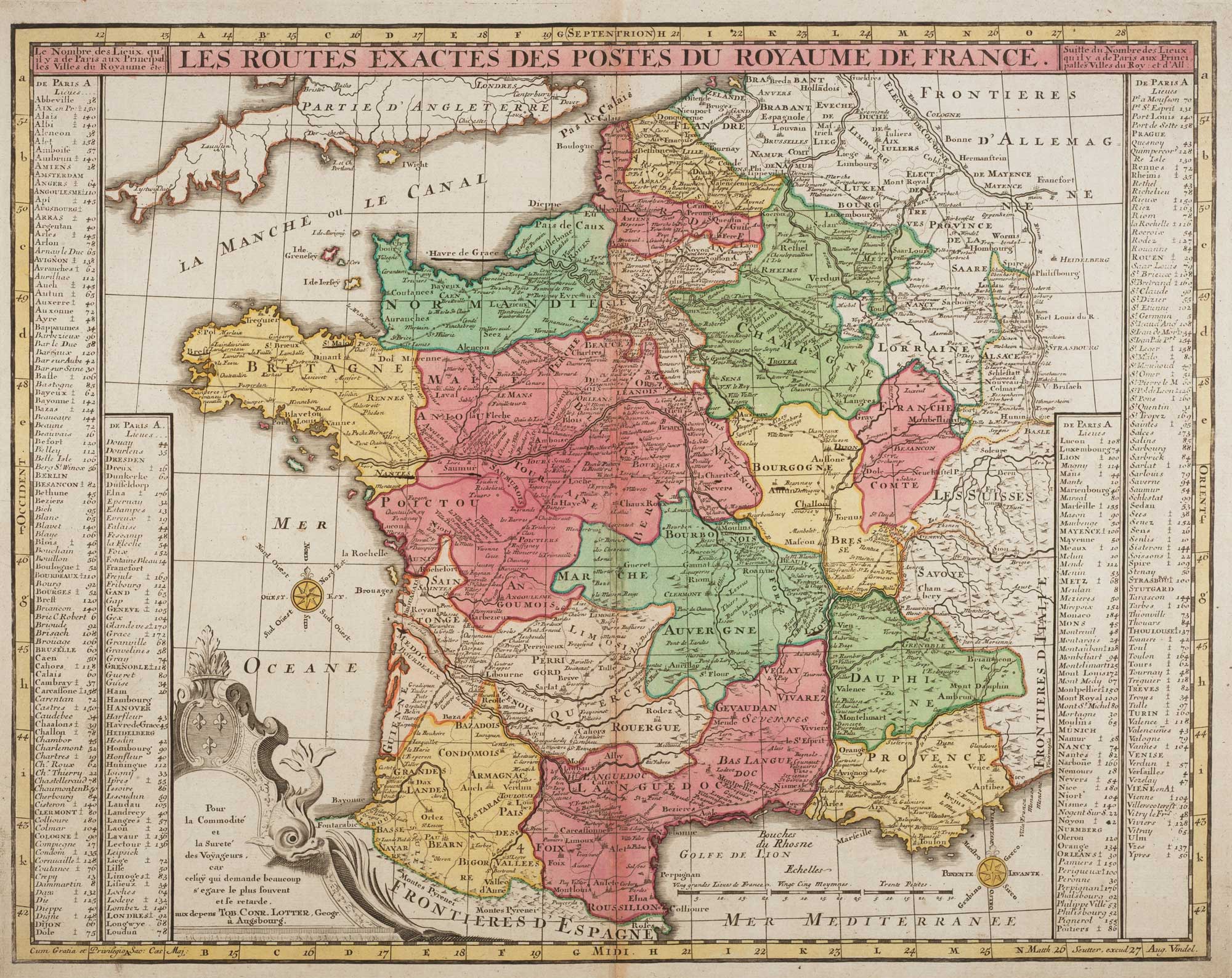


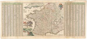
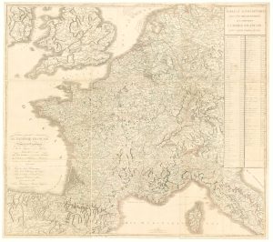
French Post Roads
Le Routes Exactes des Postes du Royaume de France.
Augsburg c.1750. Original colour. 475 x 595mm.
£280.00
Description
Map of France showing the post roads of the country, with extensive tables of distances.
Condition:
A good example.Related products
-
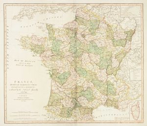
Map of revolutionary France, in fine colour
FADEN, William. Date: 1792Stock #: 7419 £250.00 -
A fine 18th century miniature atlas of the coasts of France
BONNE, Rigobert. Date: 1778Stock #: 21944 £2,700.00 -
A 17th century map of France with rare gazzetteer side-panels
VISSCHER, Nicolas. Date: 1690Stock #: 23744 £750.00 -
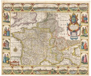
A rare ‘carte à figures’ map of France
KEERE, Pieter van den. Date: 1630Stock #: 22258 £3,500.00 -

A 17th century plan of the defences of Calais
CORONELLI, Vincenzo Maria. Date: 1689Stock #: 21662 £280.00 -
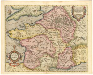
Ortelius’s map of Ancient Gaul in fine colour
ORTELIUS, Abraham. Date: 1603Stock #: 23809 £600.00 -
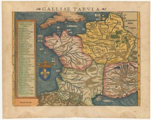
16th century woodblock map of France
MUNSTER, Sebastian. Date: 1572Stock #: 24580 £380.00 -
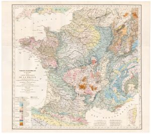
The index map of the first geological map of France
DUFRENOY, P.A. & ELIE DE BEAUMONT, J.B. Date: 1817Stock #: 22488 £650.00 -
Wall map of the French Empire at its height
CHAUMIER & MAUBORGNE. Date: 1813Stock #: 17401 £900.00
Items by the same author
Add to Wishlist
Add to Wishlist
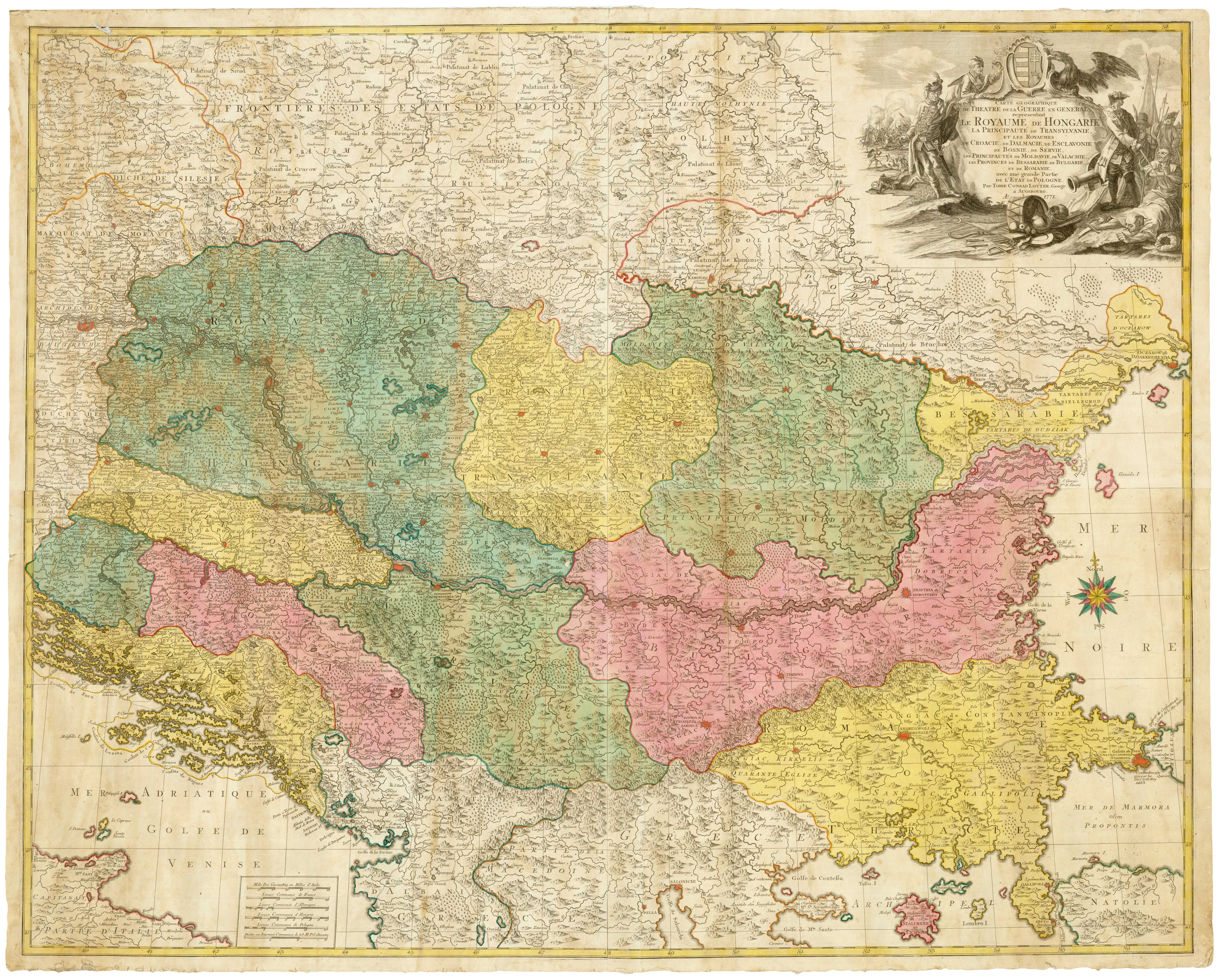
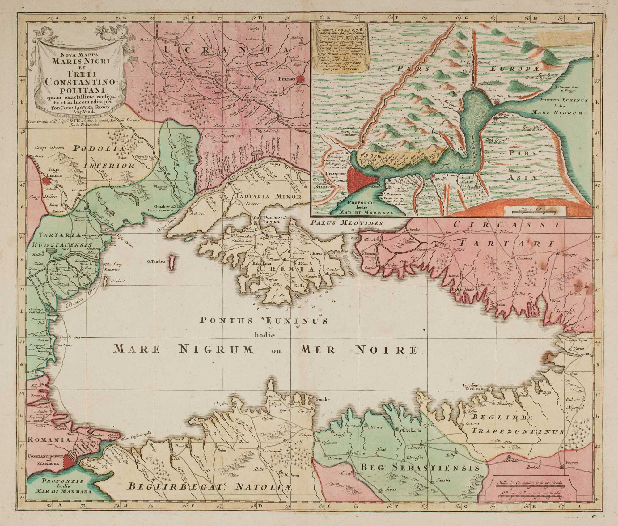
A four-sheet map of the Russo-Turkish War of 1768-74
LOTTER, Tobias Conrad. Date: 1719 Stock #: 24964 £1,500.00
Add to Wishlist
Add to Wishlist

The Russo-Turkish War of 1768-74
LOTTER, Tobias Conrad. Date: 1769 Stock #: 24732 £1,500.00
Add to Wishlist
Add to Wishlist
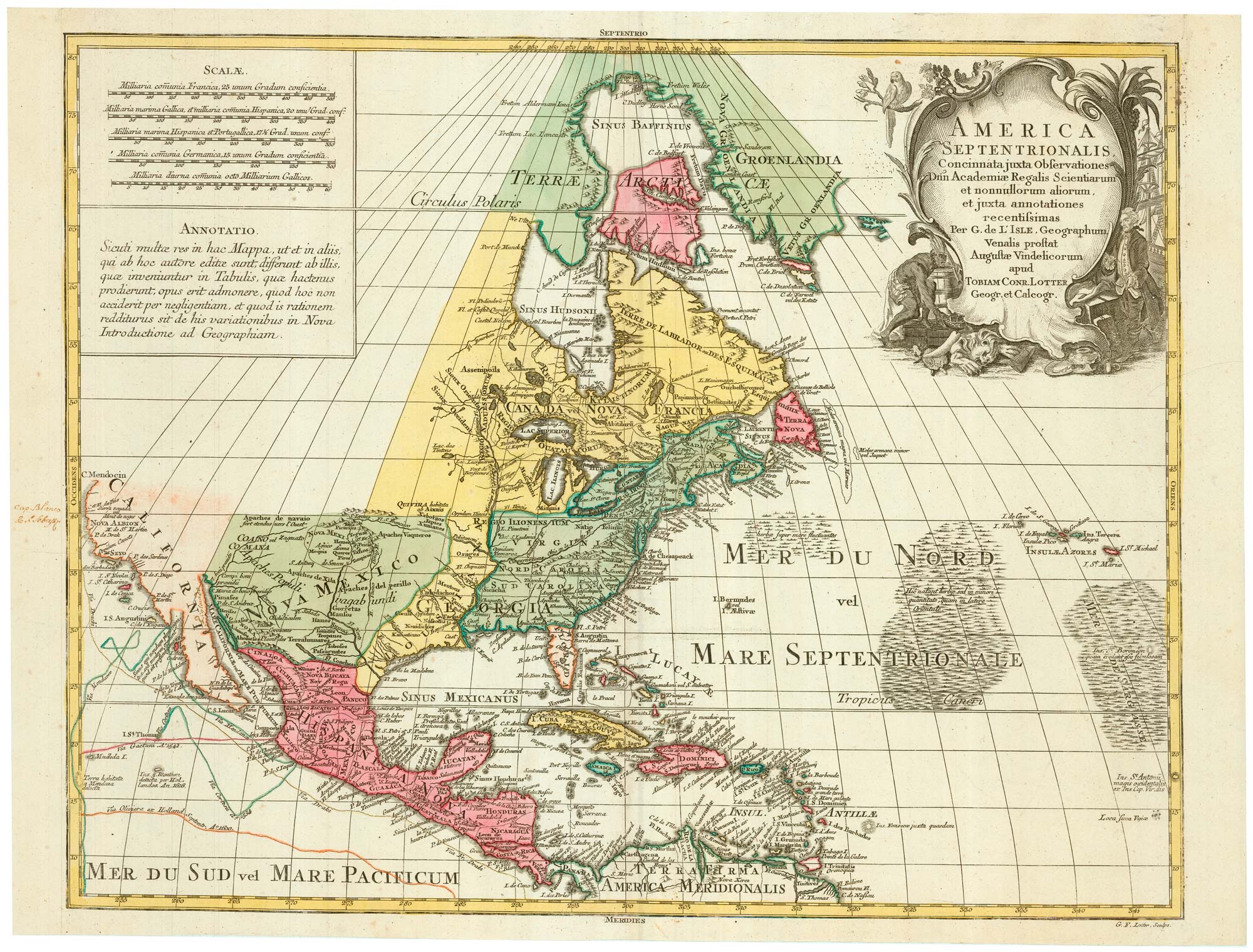
A mid-18th century map of North America
LOTTER, Tobias Conrad. Date: 1765 Stock #: 24610 £850.00
Add to Wishlist
Add to Wishlist
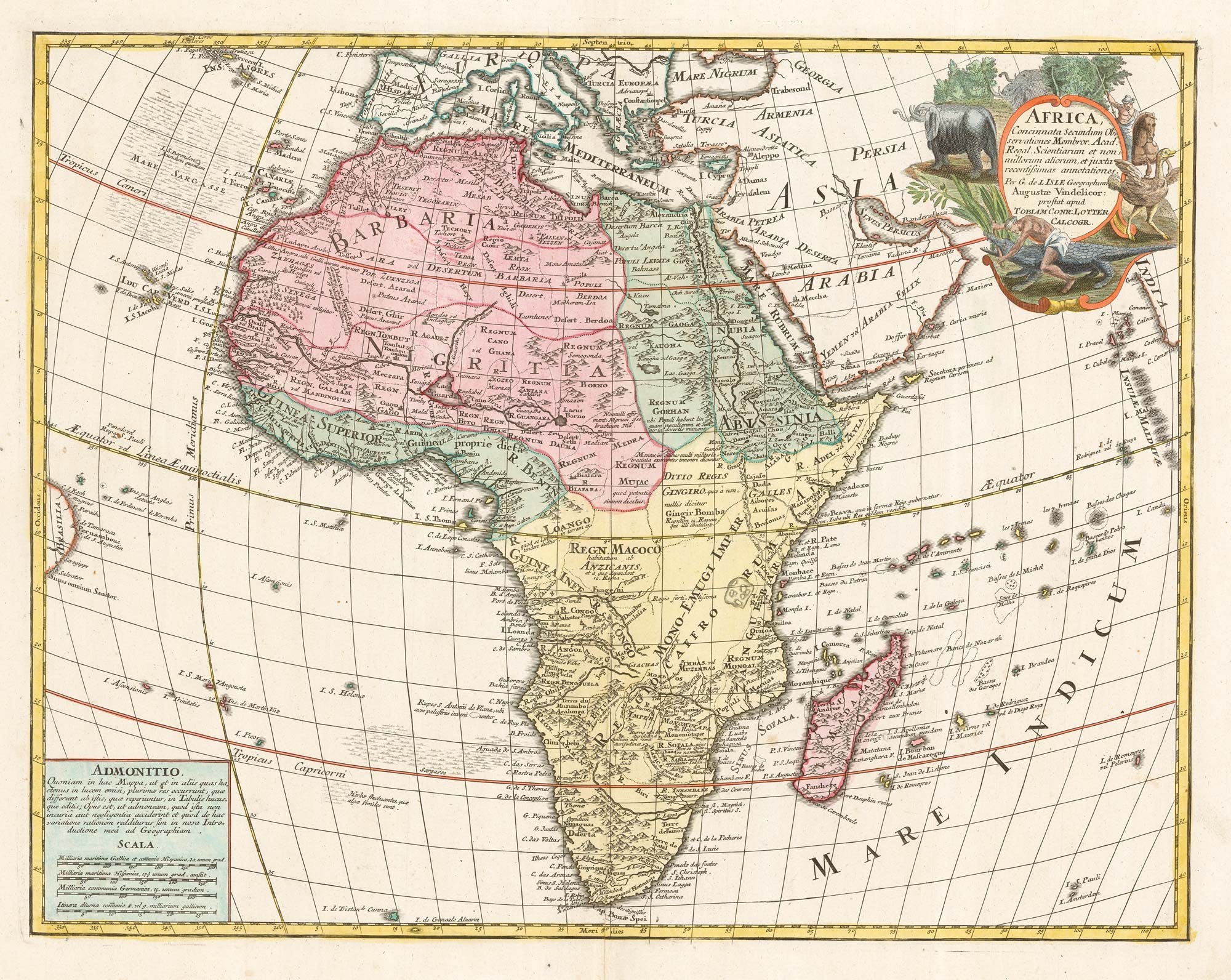
An 18th century map of Africa
LOTTER, Tobias Conrad. Date: 1770 Stock #: 22201 £650.00
Add to Wishlist
Add to Wishlist

The Balearics with an inset chart of Mahon Harbour
LOTTER, Tobias Conrad. Date: 1760 Stock #: 22199 £950.00
Add to Wishlist
Add to Wishlist