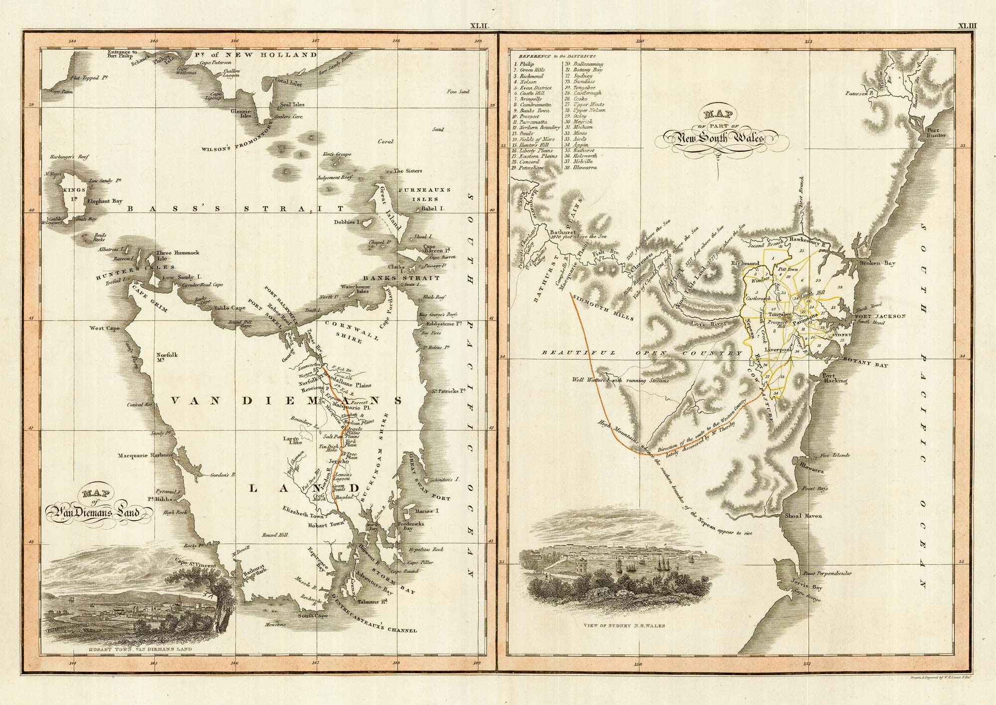


Maps of New South Wales and Tasmania
Map of Van Diemans Land. Map of Part of New South Wales.
Edinburgh c.1830. Original outline colour. 460 x 520mm.
£480.00
1 in stock
x
Question About This Item?
Maps of New South Wales and Tasmania & LIZARS, William Home.Stock #: 22021
Add to Wishlist
Export as PDFEnquireSimilar to Sell?Add to Wishlist
Description
Two maps on one sheet. The map on the left shows Tasmania, here named Van Dieman's Land. In the bottom corner is a view of Hobart Town.
The second map is New South Wales, from Newcastle to Jervis Bay. The inset view of Sydney includes the hexagonal cottage that was named after Billy Blue, an ex-convict who was born in Jamaica and was sent to Australia to serve time. He became harbour master after finding favour with the governor.
Condition:
A good example.Related products
-
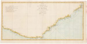
Captain Cook’s first map of New South Wales
COOK, James. Date: 1774Stock #: 20274 £950.00 -
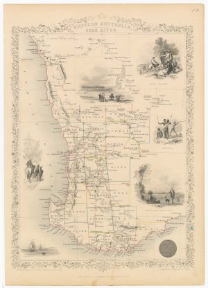
A mid 19th century map of Western Australia with vignettes
TALLIS, John. Date: 1851Stock #: 21789 £180.00 -
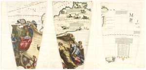
Set of three gores covering Australia from Coronelli’s 42 inch globe
CORONELLI, Vincenzo Maria. Date: 1693Stock #: 23726 £4,500.00 -
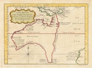
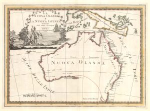
A pre-Cook discoveries map of Australia
BELLIN, Jacques-Nicolas. Date: 1753Stock #: 25052 £1,000.00 -
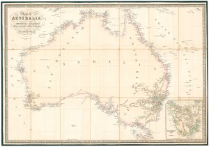
Folding map of Australia with fine colour
WYLD, James. Date: 1833Stock #: 24071 £980.00 -
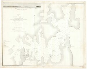
An important chart of Sydney Harbour
LA TOUANNE, Edmond Bigot de. Date: 1837Stock #: 25096 £1,600.00 -
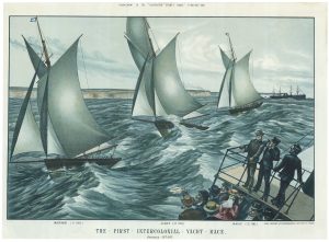
A locally-produced print of a yacht race in New South Wales
FICSHER, Otto Date: 1877Stock #: 21206 £550.00 -
One of the most decorative maps of Australia
CASSINI, Giovanni Maria. Date: 1798Stock #: 17956 £3,750.00 -
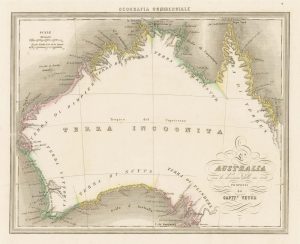
An unusual Italian map of Australia
MARMOCCHI, Francesco C. Date: 1858Stock #: 23588 £650.00