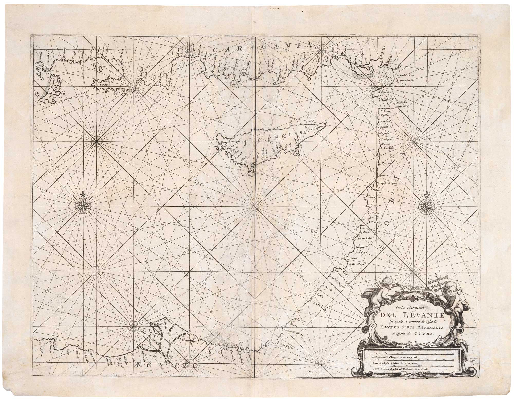


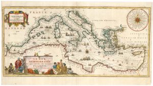
A 17th century sea chart of the Eastern Mediterranean Sea
Carta maritima del Levante In quale si contiene le Coste di Egypto, Soria, Caramania et Isola de Cypri.
Venice: Vincenzo Maria Coronelli, c.1696. 395 x 515mm.
£1,200.00
1 in stock
x
Question About This Item?
A 17th century sea chart of the Eastern Mediterranean Sea & LEVANTO, Francesco Maria.Stock #: 19694
Add to Wishlist
Export as PDFEnquireSimilar to Sell?Add to Wishlist
Description
An uncommon sea chart of the Eastern Mediterranean, showing Rhodes and the coasts of southern Turkey, Syria, Lebanon, Israel and Egypt, with Cyprus.
It was originally published in Levanto's 'Specchio del Mare', one of the earliest Italian printed maritime atlases, in 1644. This example was printed in Coronelli's 'Isolario', apparently unaltered despite being over fifty years old.
Condition:
Some restoration.Related products
-
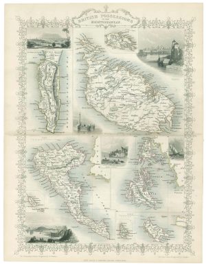
Mid 19th map of British possessions in the Mediterranean
TALLIS, John. Date: 1851Stock #: 17748 £170.00 -
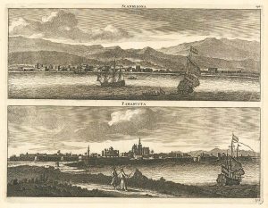
Prospects of Famagusta and Iskenderun in the 17th century
BRUYN, Cornelis de. Date: 1714Stock #: 24827 £290.00 -
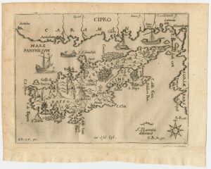
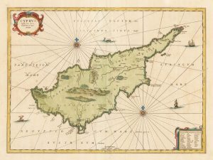
A rare 17th century map of Cyprus
PIACENZA, Francesco. Date: 1688Stock #: 24925 £4,500.00 -
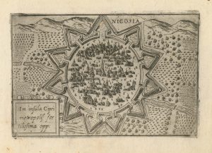
A 16th century town plan of Nicosia
VALEGIO, Francesco. Date: 1598Stock #: 24176 £750.00 -
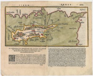
The second printed map of Cyprus
BORDONE, Benedetto. Date: 1565Stock #: 23466 £3,600.00 -
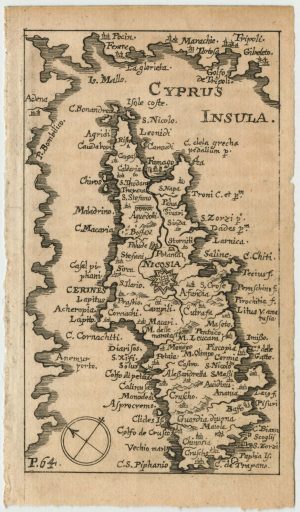
A rare miniature map of Cyprus
SANDRART, Jacob von. Date: 1686Stock #: 24930 £900.00 -
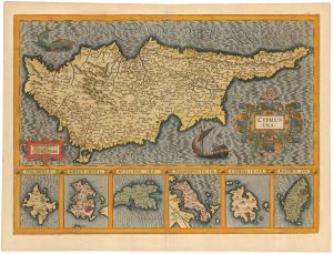
17th century map of Cyprus and the islands of the Aegean in fabulous colour
HONDIUS, Jodocus. Date: 1623Stock #: 23015 £1,800.00 -
Map of classical Cyprus
JANSSON, Jan. Date: 1700Stock #: 20342 £1,250.00 -
A decorative early 18th century chart of the Mediterranean
FER, Nicolas de. Date: 1654Stock #: 25252 £2,750.00