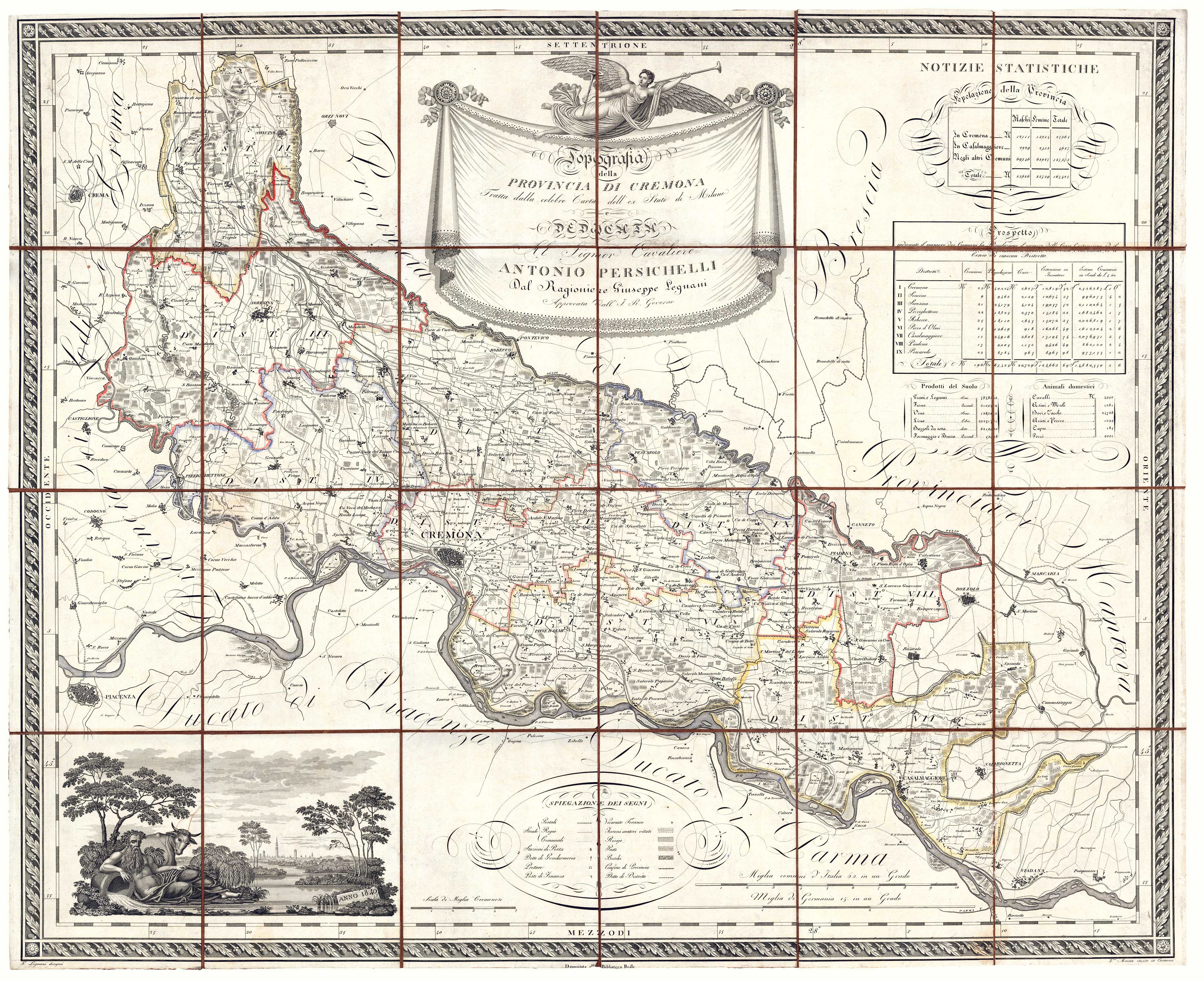


A large and detailed map of the Province of Cremona
Topografia della Provincia di Cremona tratta dalla celebre carta dell'ex Stato di Milano e dedicata al Signor Cavaliere Antonio Persichelli.
Cremona, 1820-40. Original outline colour. Dissected and laid on linen, as issued, total 750 x 920mm.
£950.00
1 in stock
x
Question About This Item?
A large and detailed map of the Province of Cremona & LEGNANI, Giuseppe.Stock #: 20658
Add to Wishlist
Export as PDFEnquireSimilar to Sell?Add to Wishlist
Description
A large map of the province of Cremona, decorated with a vignette prospect of the city with an allegorical figure of the River Po. It was drawn by Legnani, engraved by G. Maina, and originally published in 1820. In this example the date in the vignette has been updated to 1840.
Condition:
A good example.Related products
-
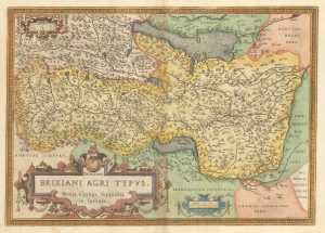
A 16th century map of Brescia
ORTELIUS, Abraham. Date: 1595Stock #: 23816 £575.00 -
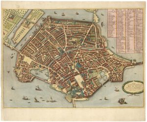
Town plan of Mantua for Blaeu’s Townbooks
MORTIER, Pierre. Date: 1704Stock #: 21893 £1,000.00 -
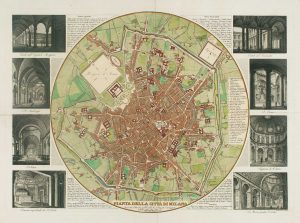
A plan of Milan with vignettes of interiors
STUCCHI, Stanislao. Date: 1853Stock #: 15022 £400.00 -
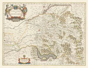
A classic 17th century Dutch map of Bergamo
BLAEU, Johannes. Date: 1670Stock #: 22593 £580.00 -
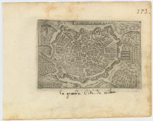
A 16th century town plan of Milan
VALEGIO, Francesco. Date: 1598Stock #: 24196 £240.00 -
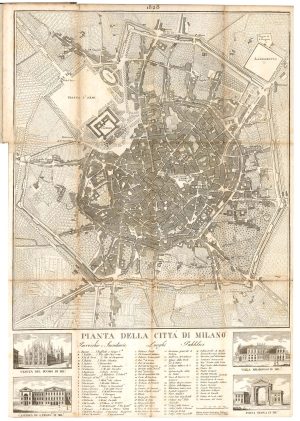
Detailed early 19th century plan of Milan
Anonymous. Date: 1828Stock #: 22914 £450.00 -
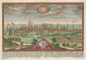
18th century prospect of Milan with fine allegorical detail
WERNER, Friedrich Bernhard. Date: 1735Stock #: 21534 £900.00 -
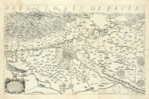
The first topographic map of Pavia in North Italy
CORTE, Lodovico. Date: 1654Stock #: 24739 £2,900.00 -
An early town plan of Milan
CADORIN, Matteo. Date: 1713Stock #: 21761 £250.00