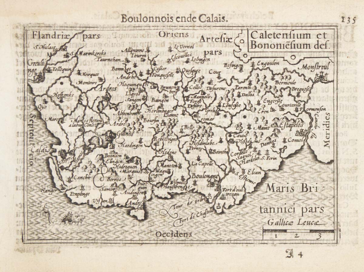
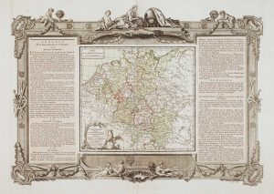
A 16th century miniature map of Westphalia
Westphalia.
Amsterdam, Cornelis Claez, 1599, Dutch text edition. 85 x 125, with letterpress surtitle and pagination.
£50.00
1 in stock
x
Question About This Item?
A 16th century miniature map of Westphalia & LANGENES, Barent.Stock #: 21168
Add to Wishlist
Export as PDFEnquireSimilar to Sell?Add to Wishlist
Description
A scarce map of Westphalia, orientated with north to the left, engraved by either Pieter van den Keere or Jodocus Hondius for the 1598 'Caert-Thresoor', with a text by an unknown author. Despite being published a year after the first edition, this is a second state: the top border has been re-engraved with latitude graduations.
By 1600 this map was being published in the 'Tabularum Geographicarum Contractarum' with a text by Petrus Bertius, and in 1616 a new plate was engraved by Jodocus Hondius II, slightly larger and with wider borders with scales of longitude and latitude.
Condition:
Some damp staining.Related products
-
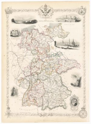
A mid-19th century map of Germany with decorative vignettes
TALLIS, John. Date: 1851Stock #: 23486 £120.00 -
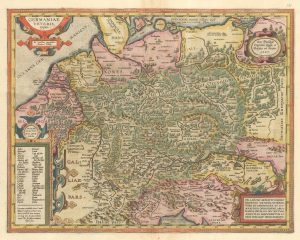
Ortelius’s map of Ancient Germany in fine colour
ORTELIUS, Abraham. Date: 1603Stock #: 23810 £600.00 -
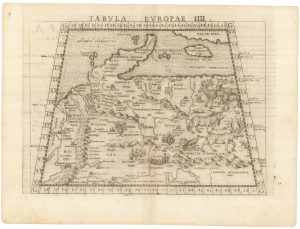
Ruscelli’s map of Germany according to Ptolemy, First State
RUSCELLI, Girolamo. Date: 1557Stock #: 22241 £220.00 -
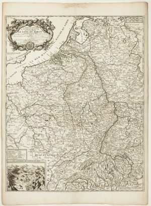
A scarce two-sheet map of the Rhine Region during the Nine Years’ War
NOLIN, Jean Baptiste. Date: 1690Stock #: 11393 £650.00 -
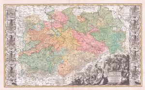
A scarce large-format map of Saxony in the 18th century
ZOLLMAN, Friedrich. Date: 1731Stock #: 17714 £1,800.00 -
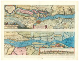
Map of the River Elbe with a prospect of Hamburg
JANSSON, Jan. Date: 1630Stock #: 24816 £500.00 -
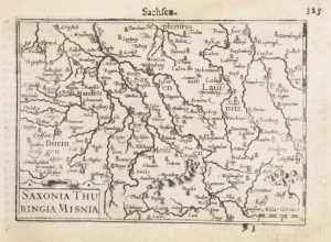
A 16th century miniature map of Saxony, Thuringia & Meissen
LANGENES, Barent. Date: 1599Stock #: 21173 £50.00 -
An 18th century map of Germany
BRION DE LA TOUR, Louis. Date: 1770Stock #: 15530 £220.00 -
A 17th century map of the Duchy of Holstein
HONDIUS, Henricus. Date: 1632Stock #: 25099 £450.00
Items by the same author
Add to Wishlist
Add to Wishlist

A 16th century miniature map of Scandinavia
LANGENES, Barent. Date: 1602 Stock #: 22481 £340.00
Add to Wishlist
Add to Wishlist

A 16th century miniature map of Saxony, Thuringia & Meissen
LANGENES, Barent. Date: 1599 Stock #: 21173 £50.00
Add to Wishlist
Add to Wishlist

A 16th century miniature map of Pomerania
LANGENES, Barent. Date: 1599 Stock #: 21175 £65.00
Add to Wishlist
Add to Wishlist

A 16th century miniature map of Dithmarschen
LANGENES, Barent. Date: 1599 Stock #: 21169 £55.00
Add to Wishlist
Add to Wishlist

A 16th century miniature map of Normandy
LANGENES, Barent. Date: 1599 Stock #: 21144 £75.00
Add to Wishlist
Add to Wishlist