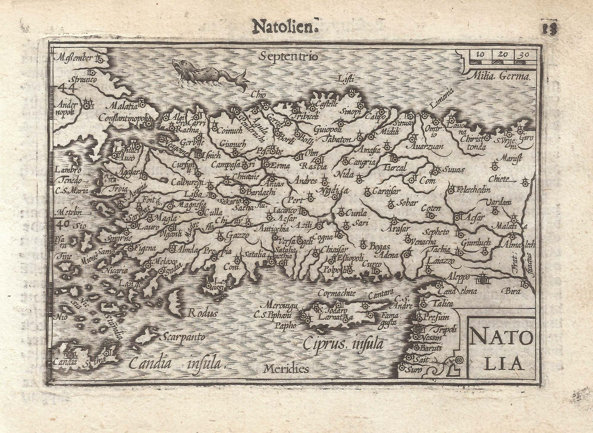


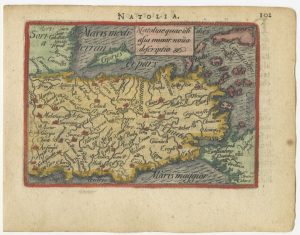
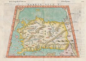
A 16th century miniature map of Turkey
Natolia.
Amsterdam, Cornelis Claez, 1599, Dutch text edition. 85 x 125mm, with letterpress surtitle and pagination.
£140.00
Description
A scarce map of Asia, engraved by either Jodocus Hondius or Pieter van den Keere for the 1598 'Caert-Thresoor', with a text by an unknown author. Despite being published only a year after the first edition, this is a second state: the left border has been re-engraved with latitude graduations.
By 1600 this map was being published in the 'Tabularum Geographicarum Contractarum' with a text by Petrus Bertius, and in 1616 a new plate was engraved by Jodocus Hondius II, slightly larger and with wider borders with scales of longitude and latitude.
Condition:
A good example.Related products
-
The 16th century Wäldseemüller/Fries map of ‘Modern’ Turkey
WALDSEEMULLER, Martin. Date: 1535Stock #: 16996 £950.00 -
Map of classical Turkey in vibrant original colour
DE LA RUE, Philippe. Date: 1692Stock #: 14911 £480.00 -
A 16th century miniature map of Turkey
ORTELIUS, Abraham. Date: 1593Stock #: 24465 £140.00 -
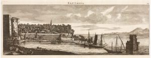
A prospect of Antalya in the 17th century by a professional artist
BRUYN, Cornelis de. Date: 1714Stock #: 23089 £220.00 -
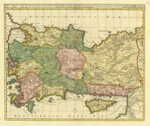
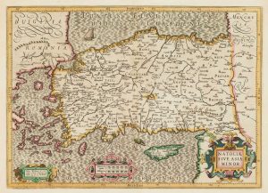
Early 18th century map of Turkey
VISSCHER, Nicolas. Date: 1705Stock #: 20555 £450.00 -
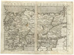
An incunable map of Turkey from a landmark edition of Ptolemy
BERLINGHIERI, Francesco de Nicola. Date: 1482Stock #: 25241 £11,000.00 -
A 16th century map of Turkey according to Claudius Ptolemy
RUSCELLI, Girolamo. Date: 1598Stock #: 20498 £250.00 -
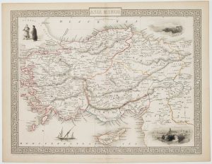
Mid-19th century map of Turkey with decorative vignettes
TALLIS, John. Date: 1851Stock #: 16133 £125.00 -
17th century map of Turkey with Cyprus
HONDIUS, Jodocus. Date: 1628Stock #: 16468 £550.00
Items by the same author
Add to Wishlist
Add to Wishlist

A 16th century miniature map of Scandinavia
LANGENES, Barent. Date: 1602 Stock #: 22481 £340.00
Add to Wishlist
Add to Wishlist

A 16th century miniature map of Saxony, Thuringia & Meissen
LANGENES, Barent. Date: 1599 Stock #: 21173 £50.00
Add to Wishlist
Add to Wishlist

A 16th century miniature map of Pomerania
LANGENES, Barent. Date: 1599 Stock #: 21175 £65.00
Add to Wishlist
Add to Wishlist

A 16th century miniature map of Dithmarschen
LANGENES, Barent. Date: 1599 Stock #: 21169 £55.00
Add to Wishlist
Add to Wishlist

A 16th century miniature map of Normandy
LANGENES, Barent. Date: 1599 Stock #: 21144 £75.00
Add to Wishlist
Add to Wishlist