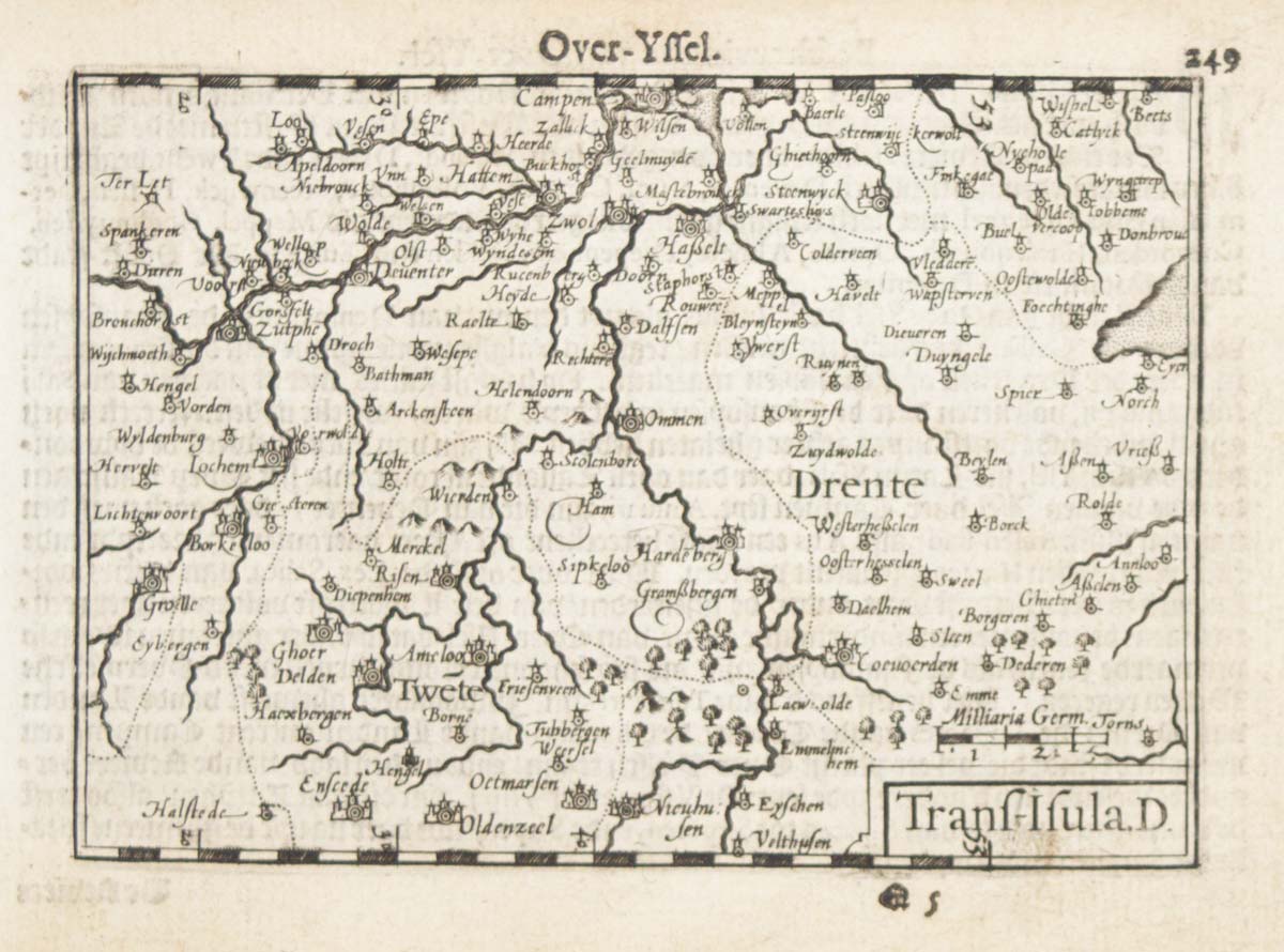


A 16th century miniature map of Overijssel
Trans-Isula.D.
Amsterdam, Cornelis Claez, 1599, Dutch text edition. 85 x 125, with letterpress surtitle and pagination.
£55.00
1 in stock
x
Question About This Item?
A 16th century miniature map of Overijssel & LANGENES, Barent.Stock #: 21165
Add to Wishlist
Export as PDFEnquireSimilar to Sell?Add to Wishlist
Description
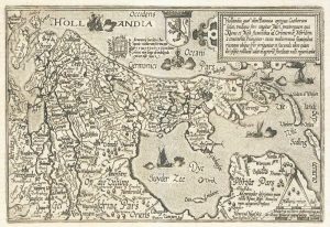
A scarce map of Overijssel, orientated with north to the right, engraved by either Pieter van den Keere or Jodocus Hondius for the 1598 'Caert-Thresoor', with a text by an unknown author. Despite being published a year after the first edition, this is a second state: the top and bottom borders have been re-engraved with latitude graduations.
By 1600 this map was being published in the 'Tabularum Geographicarum Contractarum' with a text by Petrus Bertius, and in 1616 a new plate was engraved by Jodocus Hondius II, slightly larger and with wider borders with scales of longitude and latitude.
Condition:
Some age toning.Related products
-
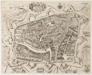
An early 17th century plan of Leeuwarden
FEDDES, Pieter. Date: 1622Stock #: 22688 £1,000.00 -
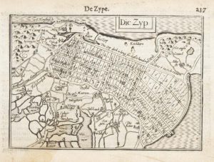
A 16th century miniature map of Zijpe
LANGENES, Barent. Date: 1599Stock #: 21162 £70.00 -
Holland
QUAD, Matthias. Date: 1600Stock #: 9094 £400.00 -
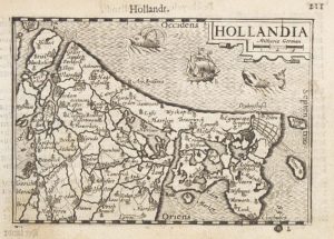
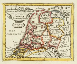
A 16th century miniature map of Holland
LANGENES, Barent. Date: 1599Stock #: 21158 £85.00 -
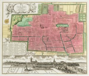
18th century town plan of the Hague
SEUTTER, Matthaus. Date: 1760Stock #: 22693 £1,300.00 -
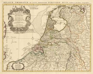
A detailed 18th century map of the Netherlands
DELISLE, Guillaume. Date: 1730Stock #: 24456 £300.00 -
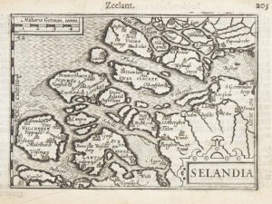
A 16th century miniature map of Zeeland
LANGENES, Barent. Date: 1599Stock #: 21159 £70.00 -
Miniature map of Holland
DU VAL, Pierre. Date: 1682Stock #: 10859 £140.00 -
A rare wall map of the Netherlands
LE ROUGE, Georges-Louis. Date: 1790Stock #: 23570 £3,600.00
Items by the same author
Add to Wishlist
Add to Wishlist

A 16th century miniature map of Scandinavia
LANGENES, Barent. Date: 1602 Stock #: 22481 £340.00
Add to Wishlist
Add to Wishlist

A 16th century miniature map of Saxony, Thuringia & Meissen
LANGENES, Barent. Date: 1599 Stock #: 21173 £50.00
Add to Wishlist
Add to Wishlist

A 16th century miniature map of Pomerania
LANGENES, Barent. Date: 1599 Stock #: 21175 £65.00
Add to Wishlist
Add to Wishlist

A 16th century miniature map of Dithmarschen
LANGENES, Barent. Date: 1599 Stock #: 21169 £55.00
Add to Wishlist
Add to Wishlist

A 16th century miniature map of the Comtat Venaissin
LANGENES, Barent. Date: 1599 Stock #: 21137 £55.00
Add to Wishlist
Add to Wishlist