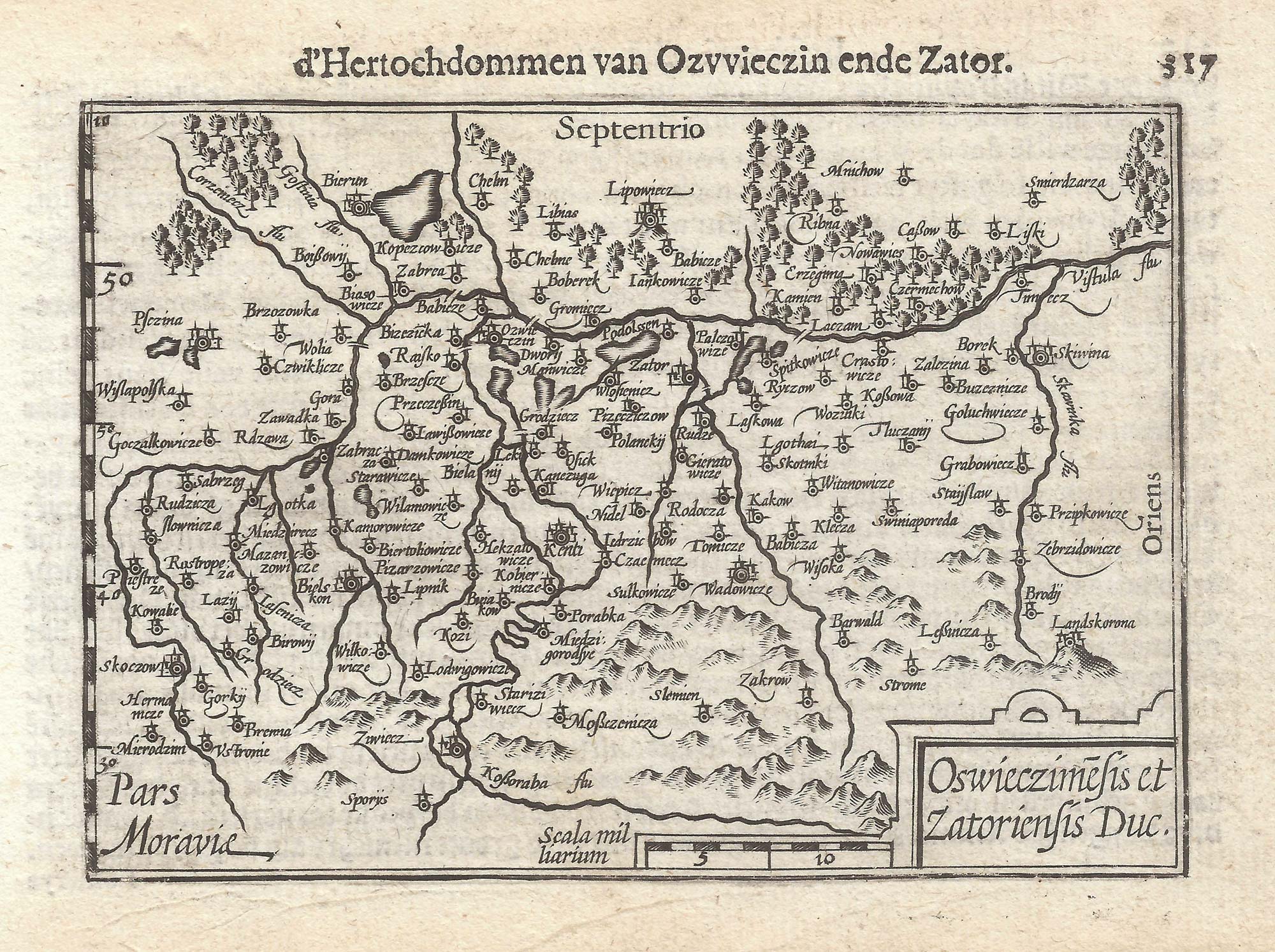


A 16th century miniature map of Oswiecim & Zator
Oswieczimensis & Zatoriensis Duc.
Amsterdam, Cornelis Claez, 1599, Dutch text edition. 85 x 125mm, with letterpress surtitle and pagination.
£110.00
1 in stock
x
Question About This Item?
A 16th century miniature map of Oswiecim & Zator & LANGENES, Barent.Stock #: 21317
Add to Wishlist
Export as PDFEnquireSimilar to Sell?Add to Wishlist
Description
A scarce map of the environs of Oswiecim, engraved by either Jodocus Hondius or Pieter van der Keere for the 'Caert-Thresoor', with a text by an unknown author. Despite being published only a year after the first edition, this is a second state: the left border has been re-engraved with latitude graduations.
By 1600 this map was being published in the 'Tabularum Geographicarum Contractarum' with a text by Petrus Bertius, and in 1616 a new plate was engraved by Jodocus Hondius II, slightly larger and with wider borders with scales of longitude and latitude.
Condition:
A good example.Related products
-

A pirated edition of the Ortelius Epitome map of Poland
ORTELIUS, Abraham. Date: 1655Stock #: 21727 £180.00 -
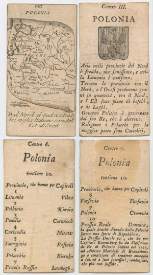
Four scarce Italian playing cards depicting Poland
Anonymous. Date: 1790Stock #: 24241 £850.00 -
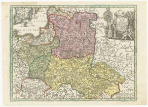
18th century map of Poland & Lithuania
SEUTTER, Matthaus. Date: 1740Stock #: 24690 £250.00 -
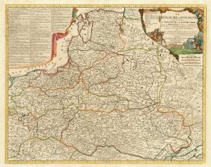
A scarce 18th century map of the Polish-Lithuanian Commonwealth
NOLIN, Jean Baptiste jnr. Date: 1742Stock #: 24544 £950.00 -

A rare German view of Krakow
SCHNITZER, Lucas. Date: 1650Stock #: 18854 £1,800.00 -
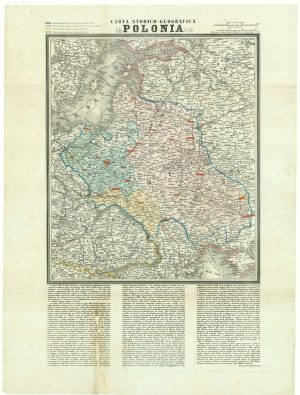
A map of the Partition of Poland
VALLARDI, Antonio. Date: 1863Stock #: 20570 £700.00 -
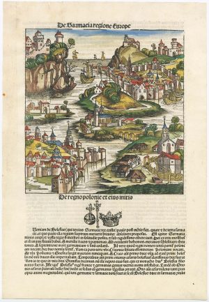
An incunable ‘view’ of Poland
SCHEDEL, D. Hartmann. Date: 1493Stock #: 23232 £650.00 -
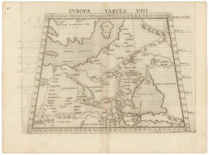
A 16th century map of eastern Europe according to Ptolemy
RUSCELLI, Girolamo. Date: 1599Stock #: 22245 £220.00 -
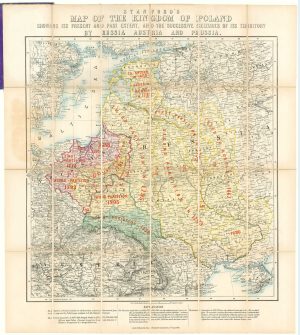
A map showing territorial losses suffered by Poland
STANFORD, Edward. Date: 1863Stock #: 18823 £675.00
Items by the same author
Add to Wishlist
Add to Wishlist

A 16th century miniature map of Scandinavia
LANGENES, Barent. Date: 1602 Stock #: 22481 £340.00
Add to Wishlist
Add to Wishlist

A 16th century miniature map of Saxony, Thuringia & Meissen
LANGENES, Barent. Date: 1599 Stock #: 21173 £50.00
Add to Wishlist
Add to Wishlist

A 16th century miniature map of Pomerania
LANGENES, Barent. Date: 1599 Stock #: 21175 £65.00
Add to Wishlist
Add to Wishlist

A 16th century miniature map of Dithmarschen
LANGENES, Barent. Date: 1599 Stock #: 21169 £55.00
Add to Wishlist
Add to Wishlist

A 16th century miniature map of the Comtat Venaissin
LANGENES, Barent. Date: 1599 Stock #: 21137 £55.00
Add to Wishlist
Add to Wishlist
