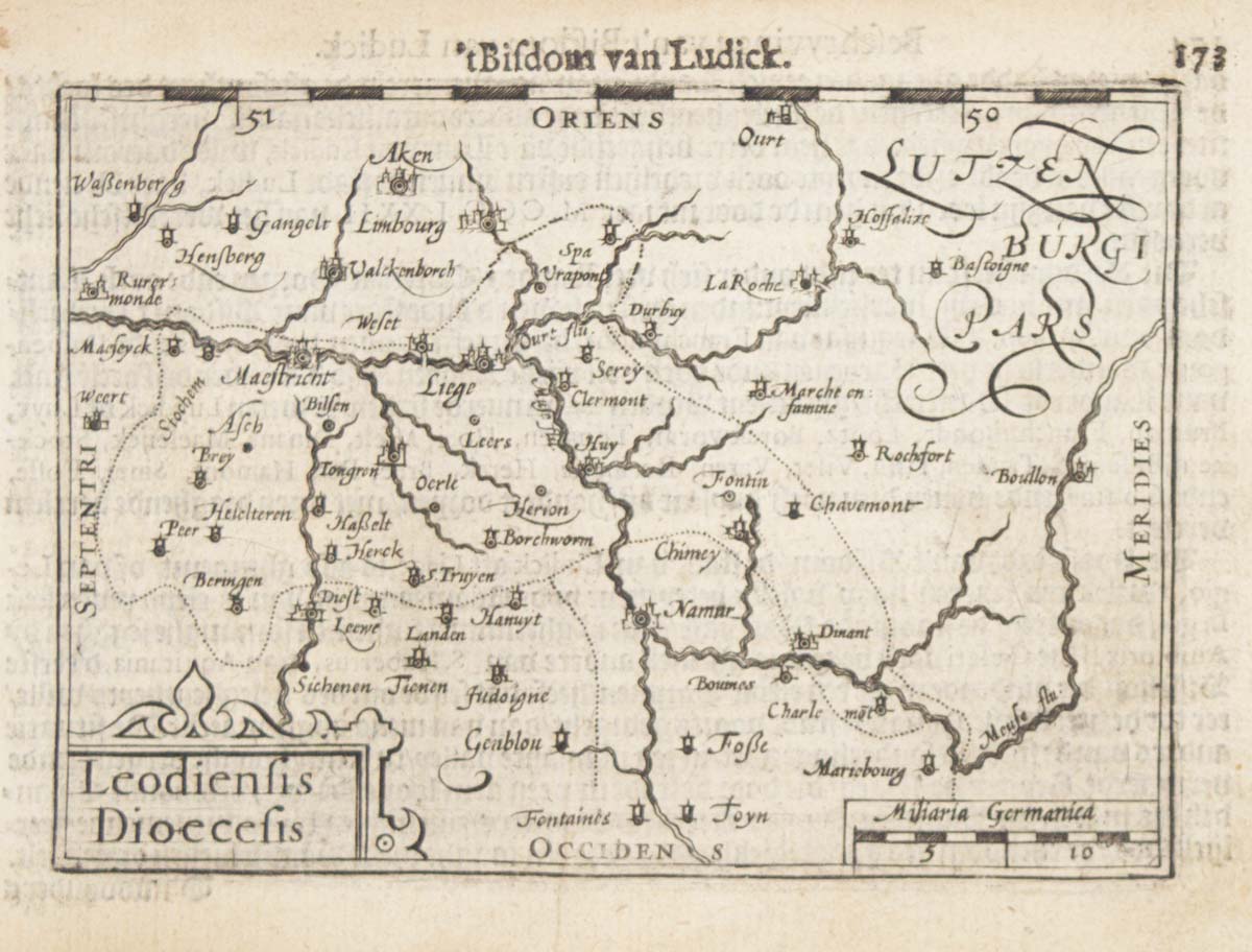


A 16th century miniature map of the Diocese of Liège
Leodiensis Dioecesis.
Amsterdam, Cornelis Claez, 1599, Dutch text edition. 85 x 125, with letterpress surtitle and pagination.
£55.00
1 in stock
x
Question About This Item?
A 16th century miniature map of the Diocese of Liège & LANGENES, Barent.Stock #: 21152
Add to Wishlist
Export as PDFEnquireSimilar to Sell?Add to Wishlist
Description
A scarce map of the Diocese of Liège orientated with north to the left, marking Maastricht, engraved by either Pieter van den Keere or Jodocus Hondius for the 1598 'Caert-Thresoor', with a text by an unknown author. Despite being published a year after the first edition, this is a second state: the top border has been re-engraved with graduations for latitude.
By 1600 this map was being published in the 'Tabularum Geographicarum Contractarum' with a text by Petrus Bertius, and in 1616 a new plate was engraved by Jodocus Hondius II, slightly larger and with wider borders with scales of longitude and latitude.
Condition:
Faint damp stains.Related products
-
A rare playing card of Brussels
Anonymous. Date: 1680Stock #: 25020 £320.00 -
Early 18th century plan of Brussels
FER, Nicolas de. Date: 1705Stock #: 18426 £250.00 -
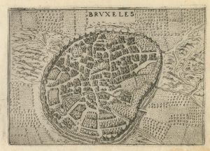
A 16th century town plan of Brussels
VALEGIO, Francesco. Date: 1598Stock #: 24202 £250.00 -
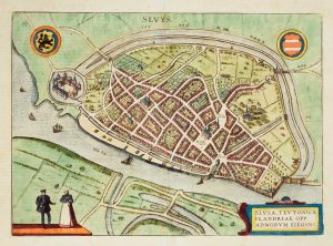
Early townplan of Sluis in Belgium
BRAUN, Georg & HOGENBERG, Frans. Date: 1581Stock #: 9914 £220.00 -
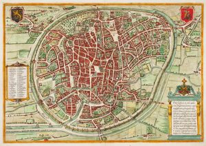
16th century town plan of Brussels
BRAUN, Georg & HOGENBERG, Frans. Date: 1572Stock #: 14660 £900.00 -
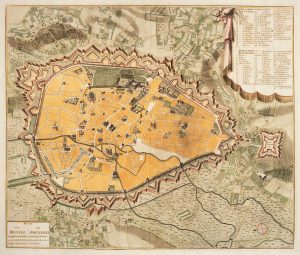
Town plan of Brussels in the 18th century
HUCHTENBURG, J. van. Date: 1729Stock #: 11162 £500.00 -
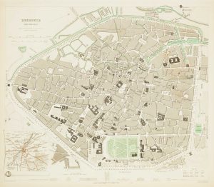
19th century plan of Brussels
Society for the Diffusion of Useful Knowledge. Date: 1837Stock #: 13838 £60.00 -
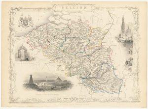
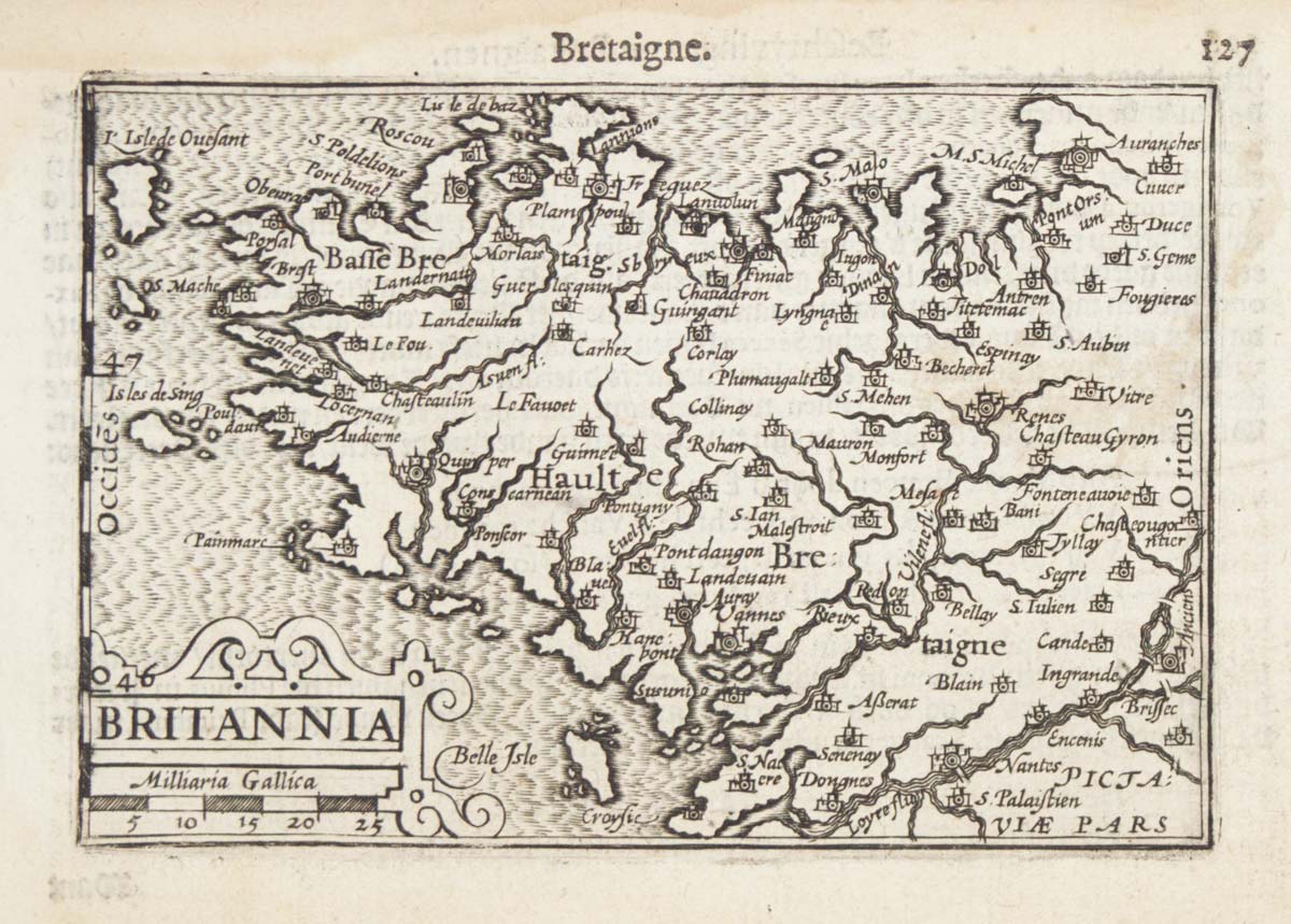
Mid 19th century map of Belgium with decorative vignettes
TALLIS, John. Date: 1851Stock #: 21637 £120.00 -
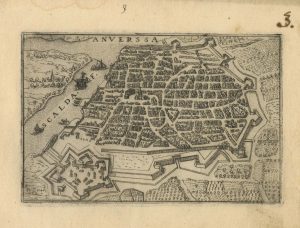
A 16th century town plan of Antwerp
VALEGIO, Francesco. Date: 1598Stock #: 24203 £250.00
Items by the same author
Add to Wishlist
Add to Wishlist

A 16th century miniature map of Scandinavia
LANGENES, Barent. Date: 1602 Stock #: 22481 £340.00
Add to Wishlist
Add to Wishlist

A 16th century miniature map of Saxony, Thuringia & Meissen
LANGENES, Barent. Date: 1599 Stock #: 21173 £50.00
Add to Wishlist
Add to Wishlist

A 16th century miniature map of Pomerania
LANGENES, Barent. Date: 1599 Stock #: 21175 £65.00
Add to Wishlist
Add to Wishlist

A 16th century miniature map of Dithmarschen
LANGENES, Barent. Date: 1599 Stock #: 21169 £55.00
Add to Wishlist
Add to Wishlist

A 16th century miniature map of the Comtat Venaissin
LANGENES, Barent. Date: 1599 Stock #: 21137 £55.00
Add to Wishlist
Add to Wishlist