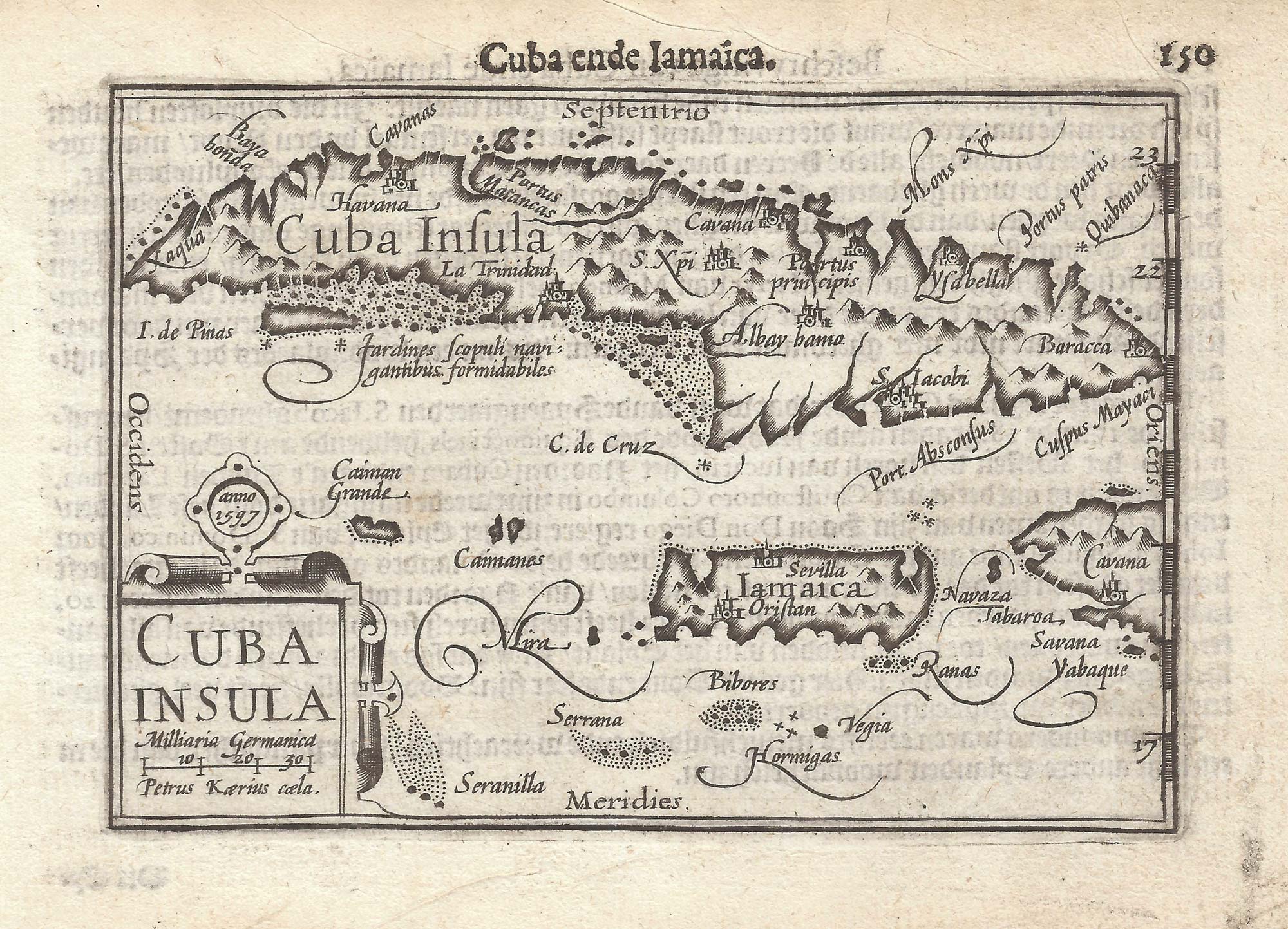


A 16th century miniature map of Cuba
Cuba Insula.
Amsterdam, Cornelis Claez, 1599, Dutch text edition. 85 x 125mm, with letterpress surtitle and pagination.
£280.00
Description
A scarce map of Hispaniola, engraved by Pieter van den Keere for the 1598 'Caert-Thresoor', with a text by an unknown author. Despite being published only a year after the first edition, this is a second state: the right border has been re-engraved with latitude graduations.
By 1600 this map was being published in the 'Tabularum Geographicarum Contractarum' with a text by Petrus Bertius, and in 1616 a new plate was engraved by Jodocus Hondius II, slightly larger and with wider borders with scales of longitude and latitude.
Condition:
A good example.Related products
-
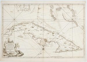
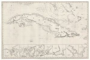
18th century sea chart of Cuba
BELLIN, Jacques-Nicolas. Date: 1762Stock #: 17427 £1,400.00 -
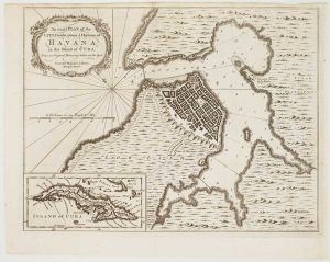
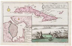
Havana during the Seven Years’ War
HINTON, John. Date: 1762Stock #: 17097 £500.00 -
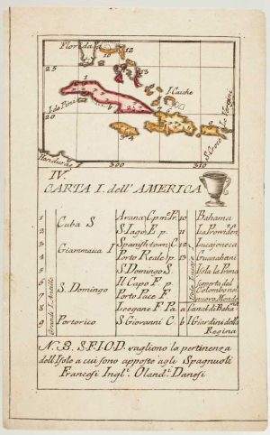
An 18th century playing-card map of northern islands of the West Indies
RABATTA, Augusto & BAILOU, Jean Baptist de. Date: 1779Stock #: 13032 £280.00 -
Cuba, during the Seven Years’ War
RASPE, Gabriel Nikolaus. Date: 1763Stock #: 20680 £350.00 -
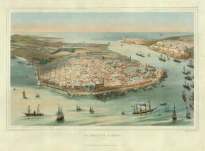
An early bird’s-eye view of Havana
BACHMANN, John. Date: 1851Stock #: 19264 £3,250.00 -
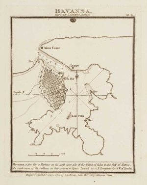
Chart of Havana Harbour
LUFFMAN, John. Date: 1802Stock #: 12805 £150.00 -
A 19th century blue-back sea chart of Cuba
IMRAY, James. Date: 1873Stock #: 19010 £2,000.00 -
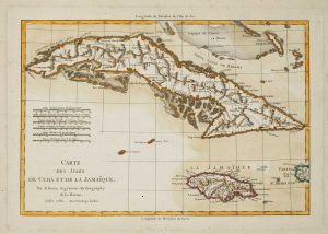
Cuba & Jamaica
BONNE, Rigobert. Date: 1782Stock #: 15653 £240.00 -
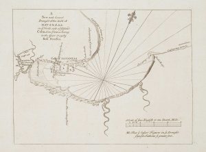
An 18th century chart of Matanzas Bay
PEARSON, Robert. Date: 1748Stock #: 16952 £160.00
Items by the same author
Add to Wishlist
Add to Wishlist

A 16th century miniature map of Scandinavia
LANGENES, Barent. Date: 1602 Stock #: 22481 £340.00
Add to Wishlist
Add to Wishlist

A 16th century miniature map of Saxony, Thuringia & Meissen
LANGENES, Barent. Date: 1599 Stock #: 21173 £50.00
Add to Wishlist
Add to Wishlist

A 16th century miniature map of Pomerania
LANGENES, Barent. Date: 1599 Stock #: 21175 £65.00
Add to Wishlist
Add to Wishlist

A 16th century miniature map of Dithmarschen
LANGENES, Barent. Date: 1599 Stock #: 21169 £55.00
Add to Wishlist
Add to Wishlist

A 16th century miniature map of the Comtat Venaissin
LANGENES, Barent. Date: 1599 Stock #: 21137 £55.00
Add to Wishlist
Add to Wishlist
