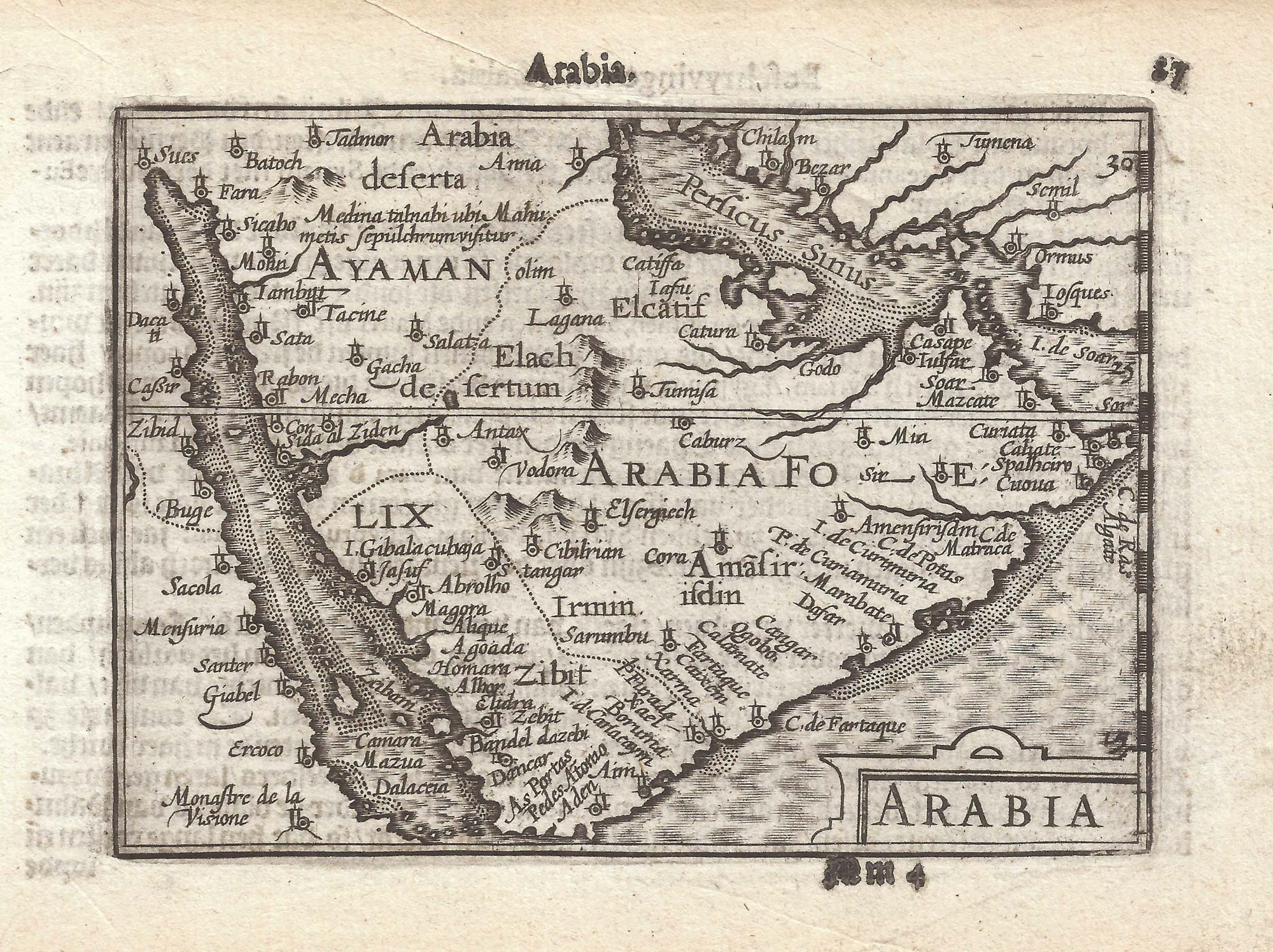


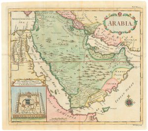
A 16th century miniature map of Arabia
Arabia.
Amsterdam, Cornelis Claez, 1599, Dutch text edition. 85 x 125mm, with letterpress surtitle and pagination.
£400.00
Description
A scarce map of Arabia, engraved by either Jodocus Hondius or Pieter van den Keere for the 1598 'Caert-Thresoor', with a text by an unknown author. Despite being published only a year after the first edition, this is a second state: the right border has been re-engraved with latitude graduations.
By 1600 this map was being published in the 'Tabularum Geographicarum Contractarum' with a text by Petrus Bertius, and in 1616 a new plate was engraved by Jodocus Hondius II, slightly larger and with wider borders with scales of longitude and latitude.
Condition:
A good example.Related products
-
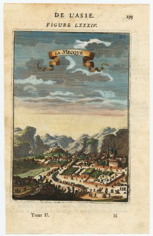
17th century miniature prospect of Mecca
MALLET, Alain Manesson. Date: 1683Stock #: 22461 £190.00 -
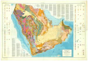
Rare & important geological map of the Kingdom of Saudi Arabia
US GEOLOGICAL SURVEY, ARABIAN AMERICAN OIL COMPANY Date: 1963Stock #: 25449 £11,000.00 -
18th century map of Arabia with a fine border
AA, Pieter van der. Date: 1729Stock #: 17301 £480.00 -
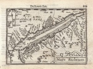
A 16th century miniature map of the Red Sea
LANGENES, Barent. Date: 1599Stock #: 21265 £280.00 -
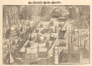
Woodcut of the famous churches and mosques in the Ottoman Empire
LORCK, Melchior. Date: 1688Stock #: 23651 £1,250.00 -
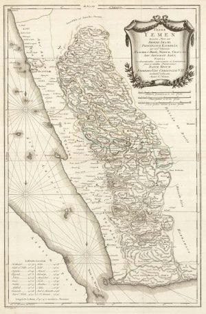
An important early map of Yemen
NIEBUHR, Carsten. Date: 1763Stock #: 23554 £500.00 -
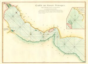
18th century chart of the Persian Gulf
APRÈS DE MANNEVILLETTE, Jean Baptiste d'. Date: 1775Stock #: 20158 £1,400.00 -
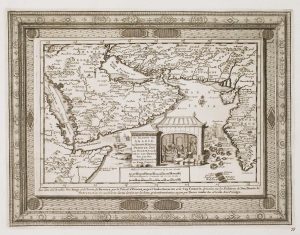
Map of Arabia with an inset view of The Temple of Mecca
SEALE, Richard William. Date: 1764Stock #: 24799 £1,200.00 -
An early English chart of the entrance to the Red Sea
THORNTON, John. Date: 1711Stock #: 21753 £400.00
Items by the same author
Add to Wishlist
Add to Wishlist

A 16th century miniature map of Scandinavia
LANGENES, Barent. Date: 1602 Stock #: 22481 £340.00
Add to Wishlist
Add to Wishlist

A 16th century miniature map of Saxony, Thuringia & Meissen
LANGENES, Barent. Date: 1599 Stock #: 21173 £50.00
Add to Wishlist
Add to Wishlist

A 16th century miniature map of Pomerania
LANGENES, Barent. Date: 1599 Stock #: 21175 £65.00
Add to Wishlist
Add to Wishlist

A 16th century miniature map of Dithmarschen
LANGENES, Barent. Date: 1599 Stock #: 21169 £55.00
Add to Wishlist
Add to Wishlist

A 16th century miniature map of the Comtat Venaissin
LANGENES, Barent. Date: 1599 Stock #: 21137 £55.00
Add to Wishlist
Add to Wishlist
