

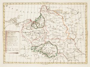
The Prussian and Russian occupation of the Duchy of Warsaw
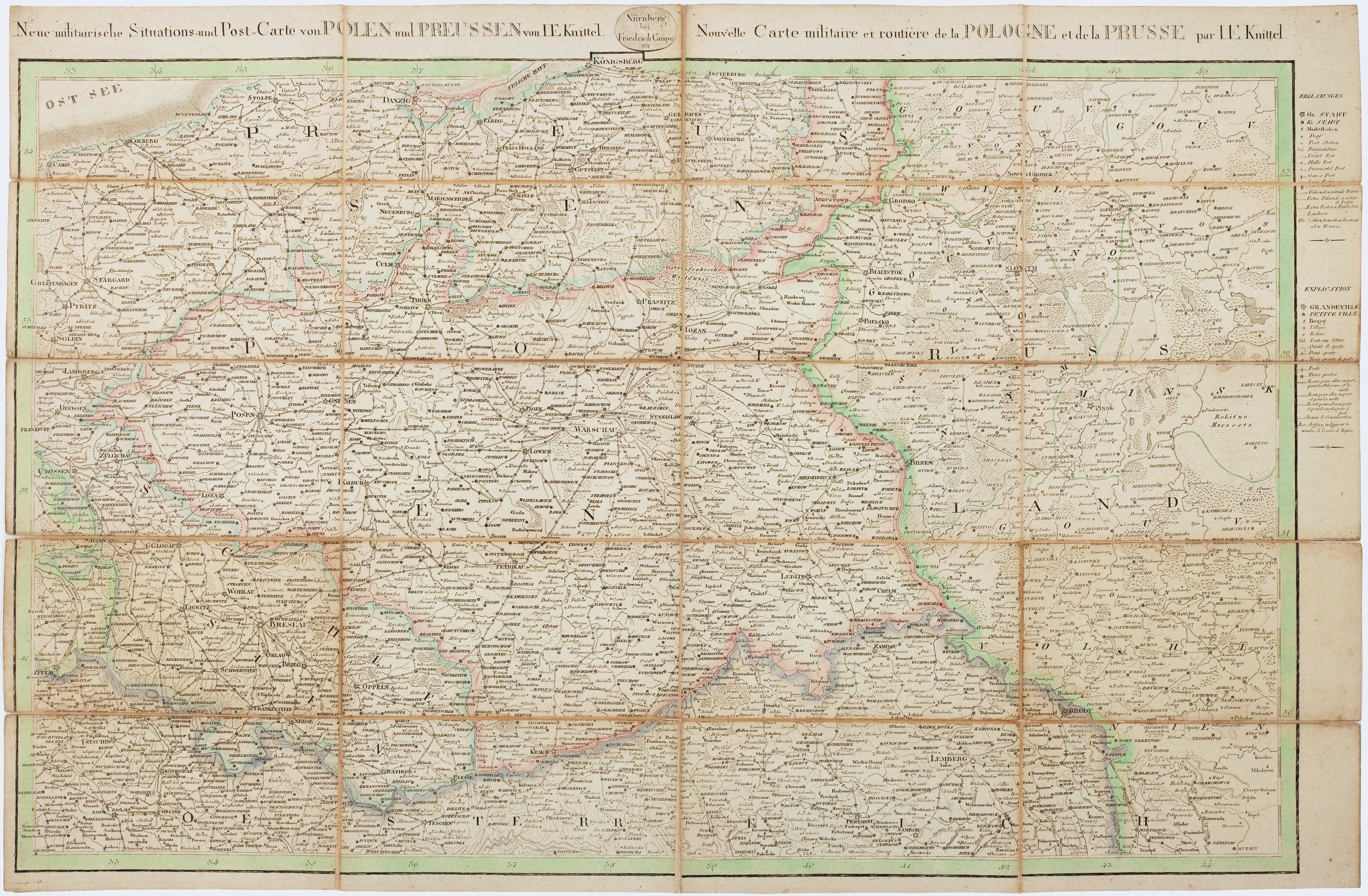
Neue militairische Situations=und Post=Carte von Polen und Preussen von I.E. Kinittel. Nouvelle Carte militaire et routiere de la Pologne et de la Prusse par I.E. Knittel.
Nuremberg: Friedrich Campe, 1812. Original colour. Dissected and laid on linen as issued, total 580 x 885mm.
£1,100.00
1 in stock
x
Question About This Item?
The Prussian and Russian occupation of the Duchy of Warsaw & KNITTEL, Johann Ernst.Stock #: 17231
Add to Wishlist
Export as PDFEnquireSimilar to Sell?Add to Wishlist
Description
A separate-issue map of the Duchy of Warsaw as the Prussians and Russians occupied the country after Napoleon's disastrous retreat from Moscow. It places emphasis on the post roads, which would have been the main lines of communication for the occupying army.
At the beginning of the Napoleonic Wars the Polish people saw Bonaparte as the best chance for them to regain their country after the three Partitions inflicted on them by Austria, Russia and Prussia. Polish Legions fought with the French in Europe, Egypt and the West Indies, and were rewarded with the creation of the Duchy of Warsaw in 1807. However, as Napoleon's army fled from Moscow, the Russians followed, overrunning the Duchy and occupying it until the Congress of Vienna (1815) divided it between Russia and Prussia.
This map is rare: we have traced only one example on the market in recent years.
Condition:
Minor splits in linen at folds.Related products
-

An atlas of the Partitioning of Poland
CHODZKO, Leonard & DUFOUR, Auguste-Henri. Date: 1832Stock #: 21937 £1,800.00 -
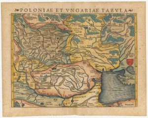
A 16th century woodcut map of Poland, Lithuania and Hungary
MUNSTER, Sebastian. Date: 1572Stock #: 24574 £700.00 -
18th century map of Poland & Lithuania
SEUTTER, Matthaus. Date: 1740Stock #: 24690 £250.00 -
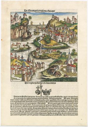
An incunable ‘view’ of Poland
SCHEDEL, D. Hartmann. Date: 1493Stock #: 23232 £650.00 -
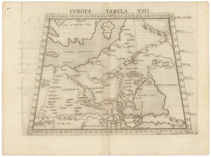
A 16th century map of eastern Europe according to Ptolemy
RUSCELLI, Girolamo. Date: 1599Stock #: 22245 £220.00 -
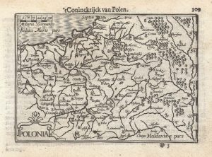
A 16th century miniature map of Poland
LANGENES, Barent. Date: 1599Stock #: 21314 £250.00 -
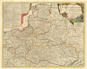
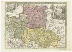
A scarce 18th century map of the Polish-Lithuanian Commonwealth
NOLIN, Jean Baptiste jnr. Date: 1742Stock #: 24544 £950.00 -
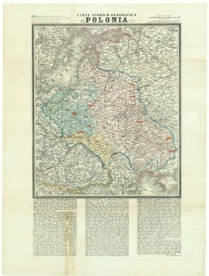
A map of the Partition of Poland
VALLARDI, Antonio. Date: 1863Stock #: 20570 £700.00 -
Uncommon map of Poland with the First Partition
ZATTA, Antonio. Date: 1780Stock #: 13853 £160.00