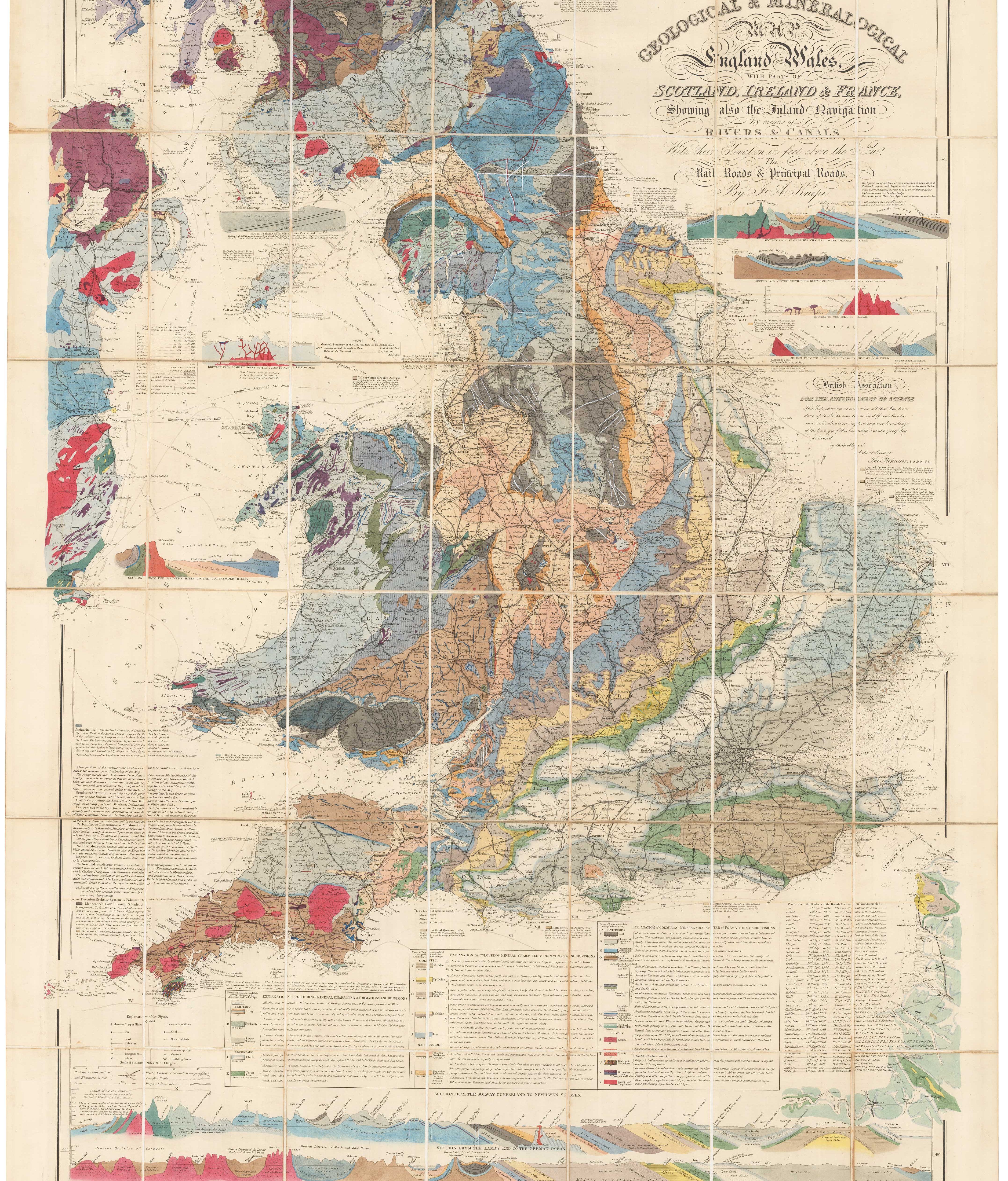


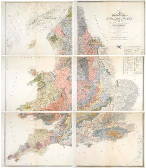
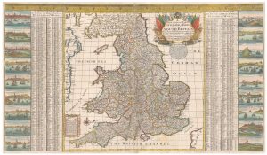
A detailed geological map of England and Wales
Geological & Mineralogical Map of England and Wales, with Parts of Scotland, Ireland & France, Showing also the Inland Navigation By means of Rivers & Canals, With their Elevation in feet above the Sea, The Rail Roads & Principal Roads... (4th Edition) with additions from the 40th meeting of the British Association and Corrected to Oct. 1870.
London: R.H. Laurie for J.A. Knipe, 1871. Dissected and laid on linen, as issued, total 1180 x 860mm.
£1,500.00
1 in stock
x
Question About This Item?
A detailed geological map of England and Wales & KNIPE, James Alexander.Stock #: 23418
Add to Wishlist
Export as PDFEnquireSimilar to Sell?Add to Wishlist
Description
A colourful geological map, with several cross-sections, including 'from the Solway Cumberland to Newhaven Sussex' and 'Land's End to the German Ocean' at Harwich.
Condition:
Front board detached, library label on endpapers.Related products
-
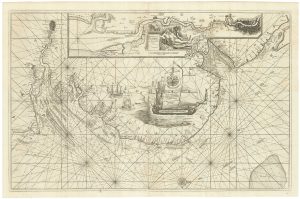
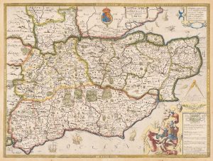
An English 17th century sea-chart of Dover to Spurn Head with the River Thames
COLLINS, Greenvile. Date: 1740Stock #: 25078 £1,500.00 -
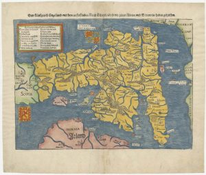
An early woodcut map of England
MUNSTER, Sebastian. Date: 1546Stock #: 25504 £1,000.00 -
A scarce miniature map of England and Wales
ROGIERS, Salomon. Date: 1807Stock #: 22084 £160.00 -
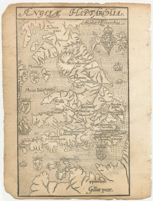
A 16th century woodcut map of England and Wales
LYNE, Richard. Date: 1596Stock #: 23298 £750.00 -
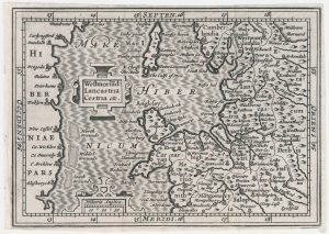
A miniature map of North West England and Wales
HONDIUS, Jodocus II. Date: 1807Stock #: 22148 £80.00 -
An important geological map of England and Wales on six sheets
GREENOUGH, George Bellas. Date: 1820Stock #: 20885 £25,000.00 -
North East England from the first English Edition of the ‘Atlas Minor’
HONDIUS, Jodocus. Date: 1635Stock #: 22447 £110.00 -
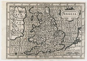
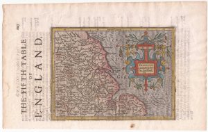
An unrecorded state of Saxton’s map of South East England
SAXTON, Christopher. Date: 1690Stock #: 22260 £3,000.00 -
A scarce two-sheet map of England and Wales with side panels
WILLDEY, George. Date: 1715Stock #: 24165 £3,000.00