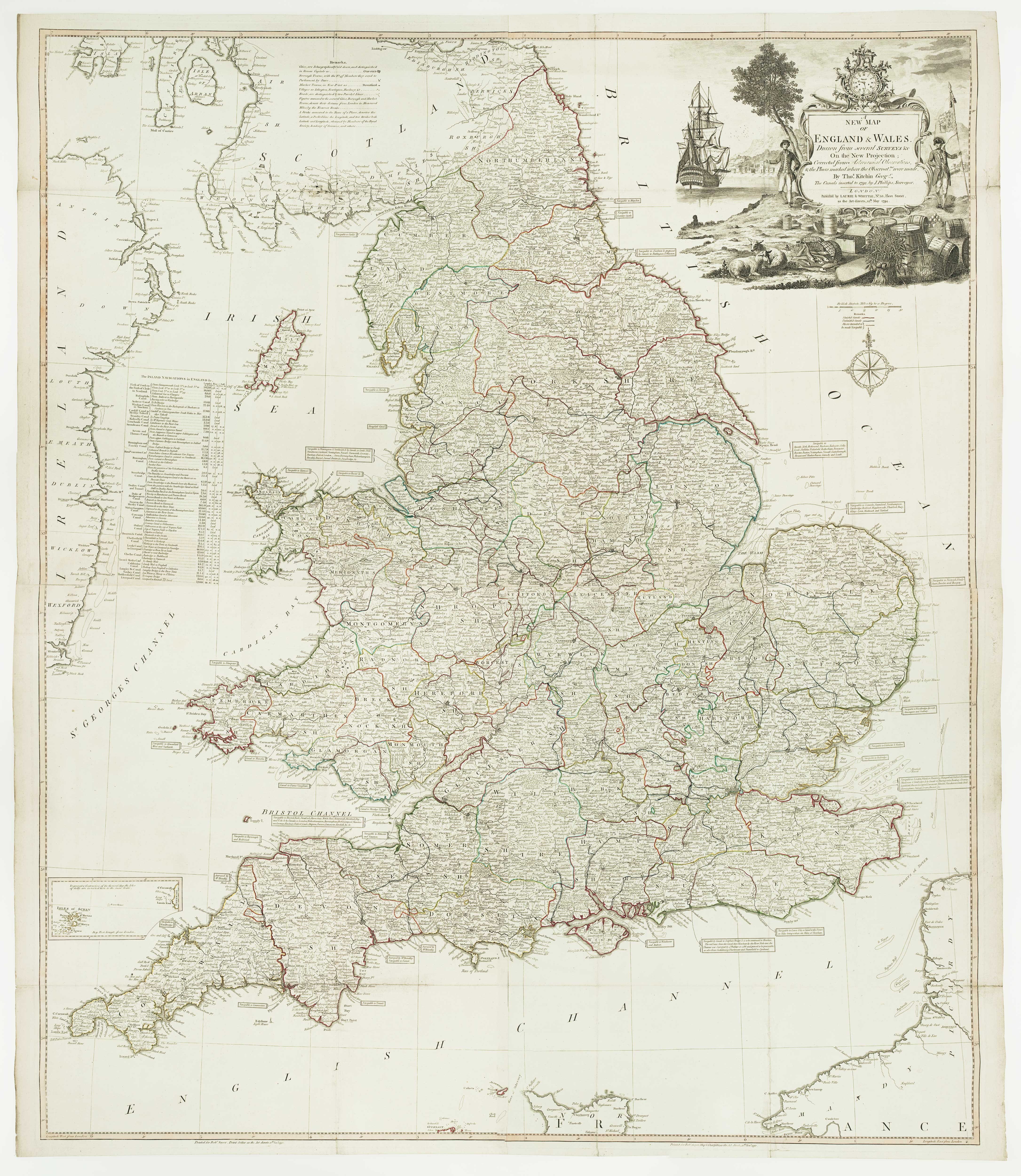


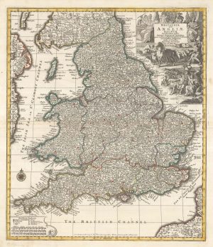
A four-sheet wall map of England and Wales
A New Map of England & Wales, Drawn from several Surveys on the New Projection; Corrected from Astronomical Observations, and the Places marked where the Observat.ns were made... The Canals inserted in 1792 by J.Phillips.
London: Laurie & Whittle, 1794. Original outline colour. Four sheets conjoined, total 1280 x 1080mm.
£1,600.00
1 in stock
x
Question About This Item?
A four-sheet wall map of England and Wales & KITCHIN, Thomas.Stock #: 16009
Add to Wishlist
Export as PDFEnquireSimilar to Sell?Add to Wishlist
Description
A wall map of England and Wales, with the roads and canals marked. The elaborate title cartouche represents: the country's wealth, with sheep, fish and a chest of coins; and military & naval superiority, with a solider, sailor and a clock, the essential navigational tool.
Condition:
Minor repairs to binding folds.Related products
-
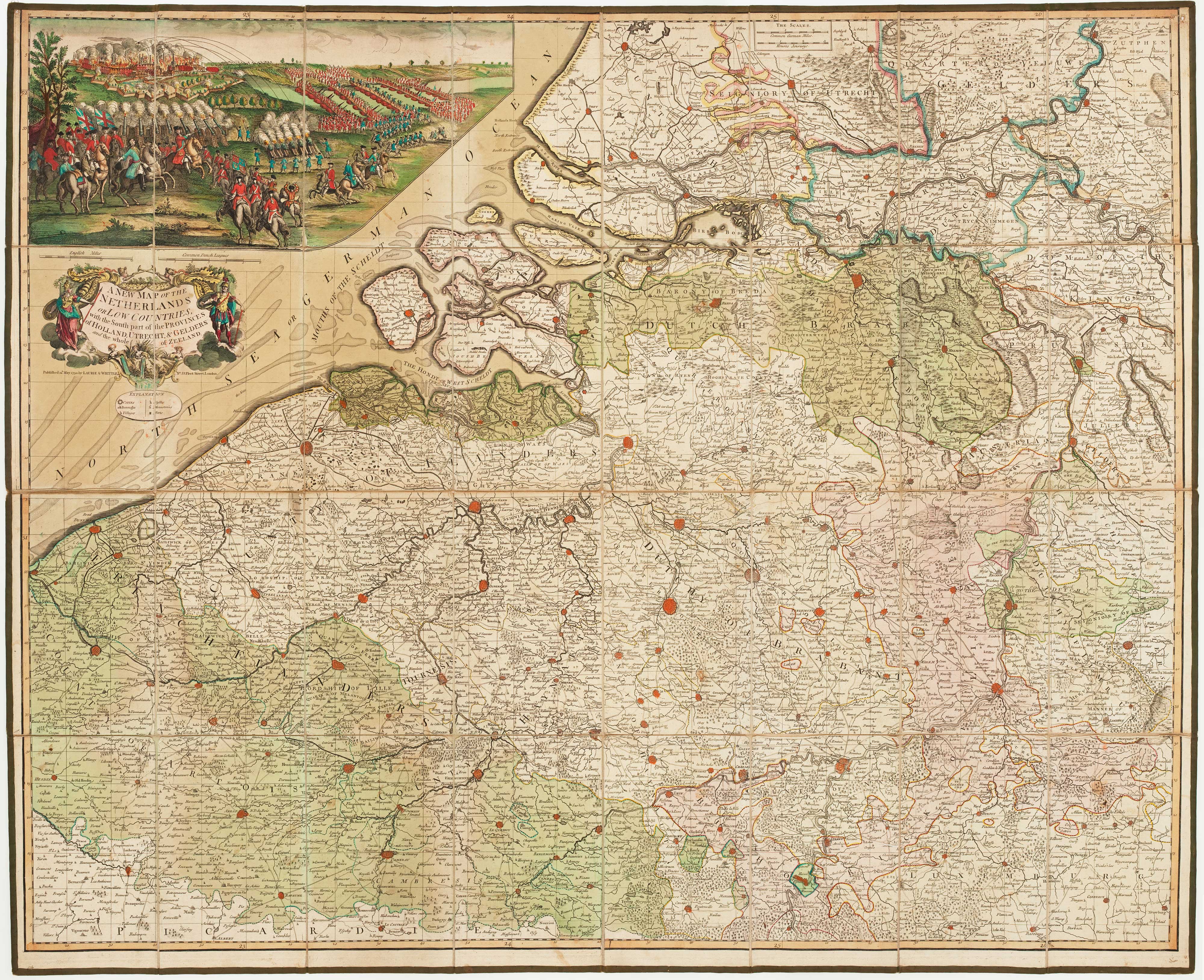
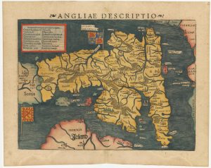
North West England from the first English Edition of the ‘Atlas Minor’
HONDIUS, Jodocus. Date: 1635Stock #: 22445 £150.00 -
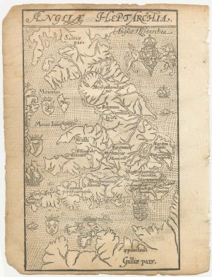
A 16th century woodcut map of England and Wales
LYNE, Richard. Date: 1596Stock #: 23298 £750.00 -
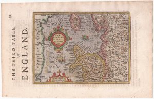
England divided into the Saxon Heptarchy
SEUTTER, Matthaus. Date: 1740Stock #: 22311 £380.00 -
An early woodcut map of England
MUNSTER, Sebastian. Date: 1572Stock #: 24564 £1,000.00 -
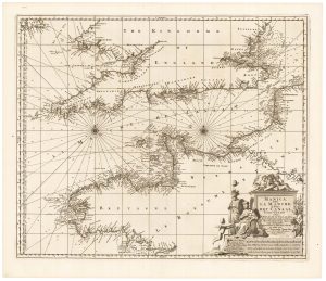
17th century sea chart of the English Channel
VISSCHER, Nicolas. Date: 1698Stock #: 22341 £650.00 -
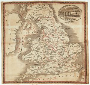
A rare mid 19th century railway map on cloth
BRADSHAW, George. Date: 1850Stock #: 22682 £750.00 -
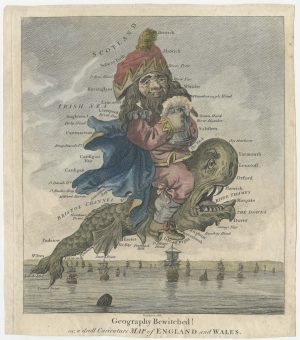
The famous caricature map of England and Wales
DIGHTON, Robert. Date: 1793Stock #: 25511 £550.00 -
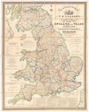
A large and detailed Victorian map of England & Wales
LOADER, T.B. Date: 1840Stock #: 22981 £1,850.00 -
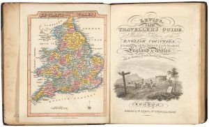
A pocket atlas of England and Wales
WALLIS, James. Date: 1819Stock #: 20636 £750.00
Items by the same author
Add to Wishlist
Add to Wishlist
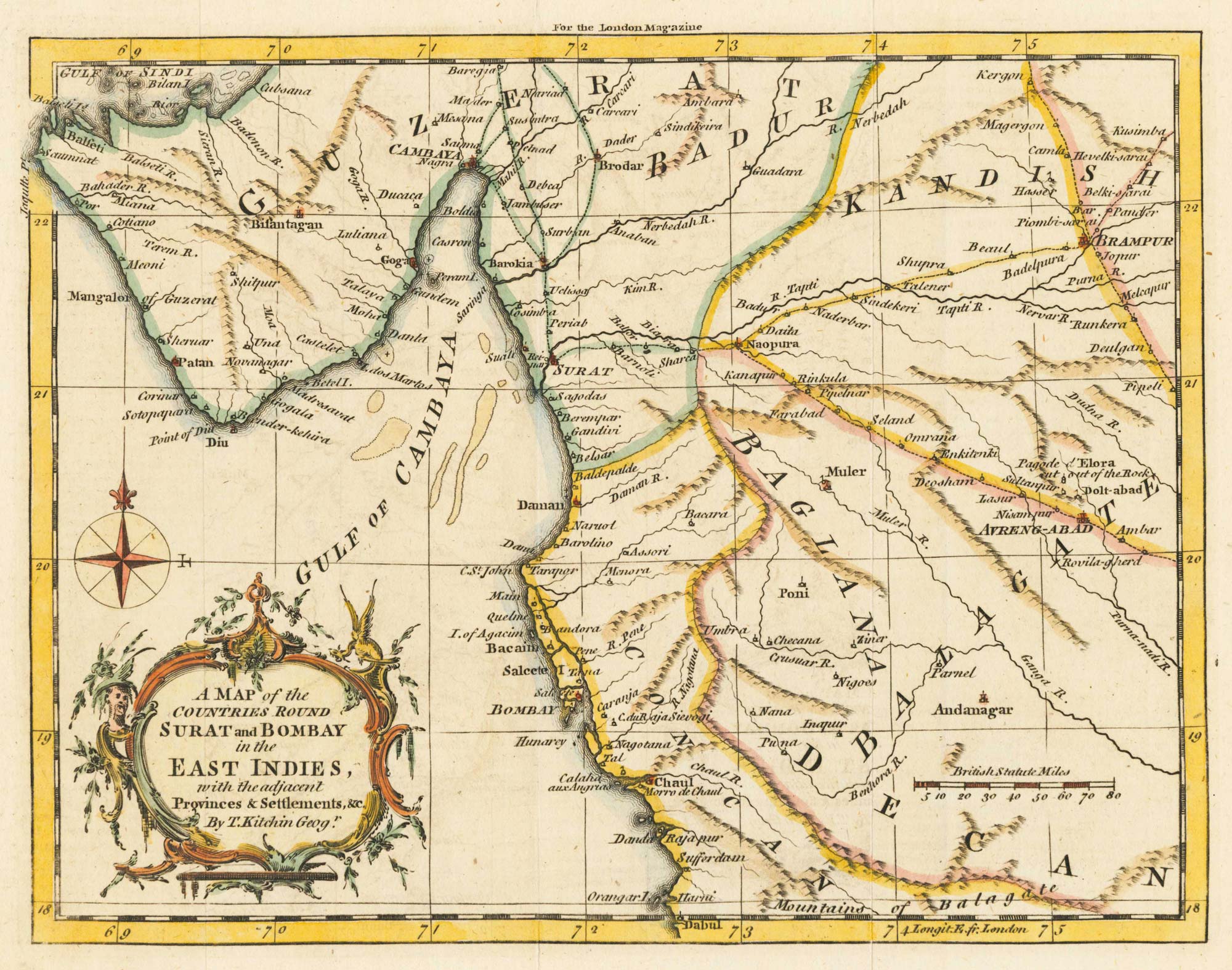
A map of the area surrounding Bombay
KITCHIN, Thomas. Date: 1759 Stock #: 22950 £140.00
Add to Wishlist
Add to Wishlist
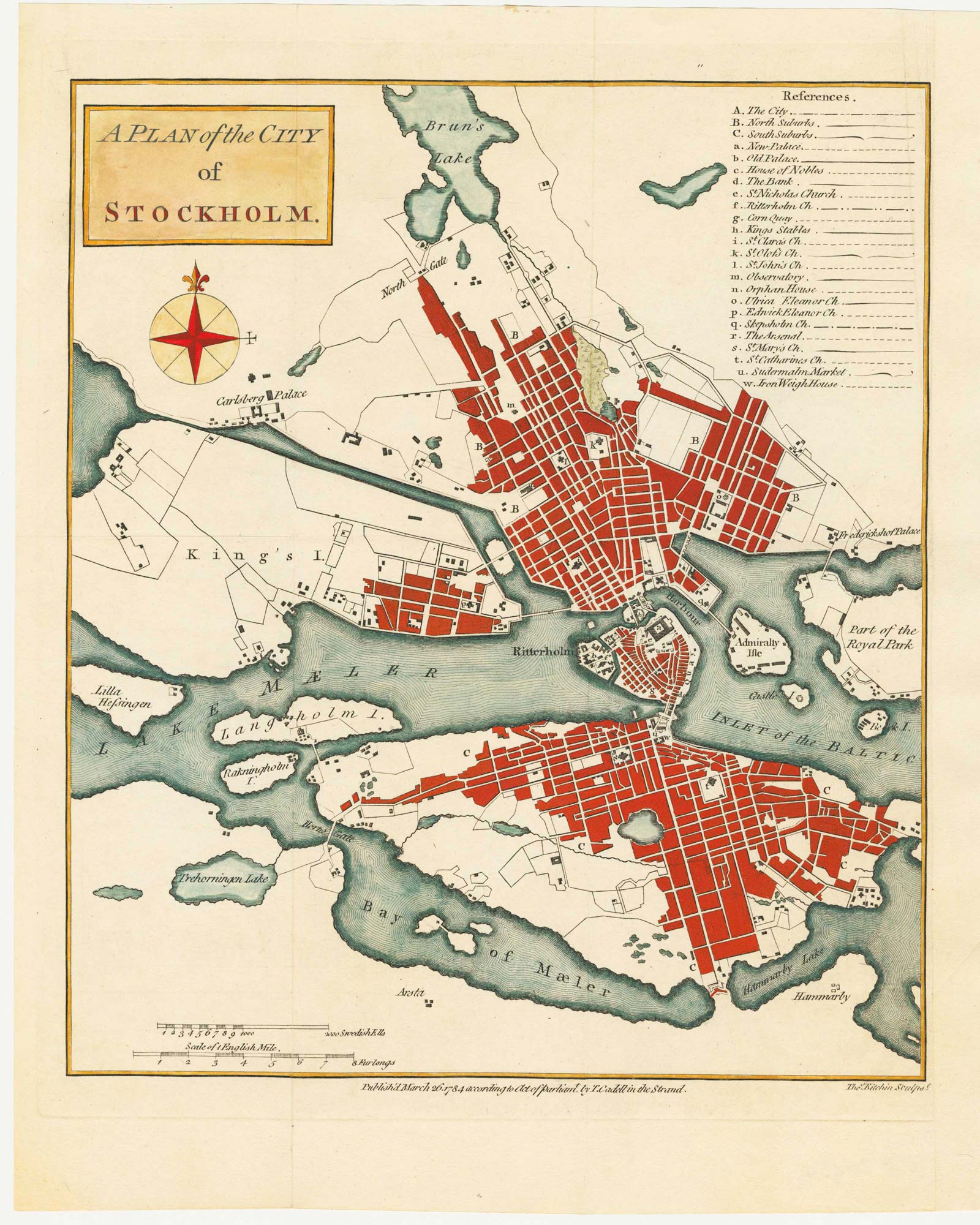
18th century plan of Stockholm
KITCHIN, Thomas. Date: 1784 Stock #: 20454 £220.00
Add to Wishlist
Add to Wishlist
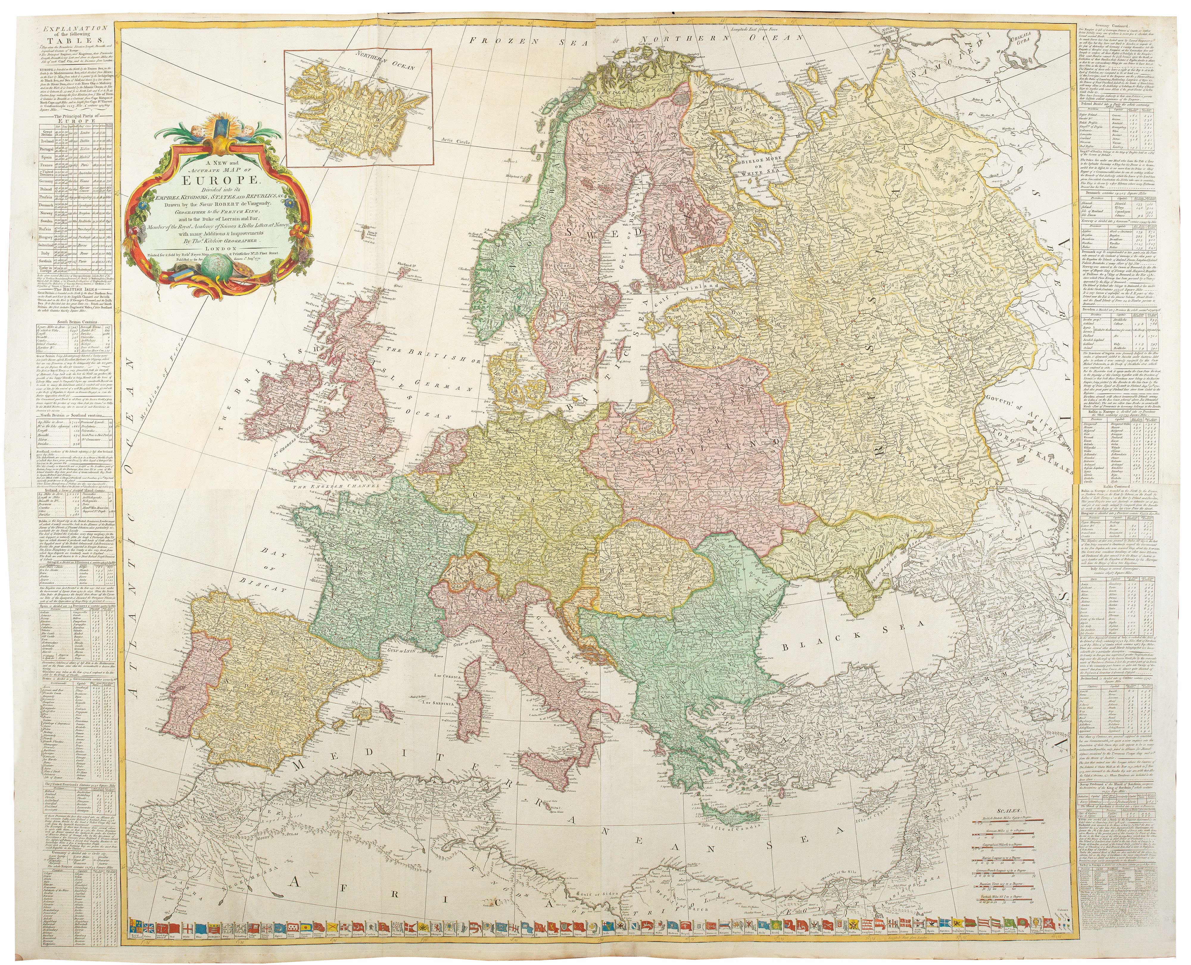
A four-sheet wall map of Europe in 1772
KITCHIN, Thomas. Date: 1772 Stock #: 20727 £1,500.00
Add to Wishlist
Add to Wishlist
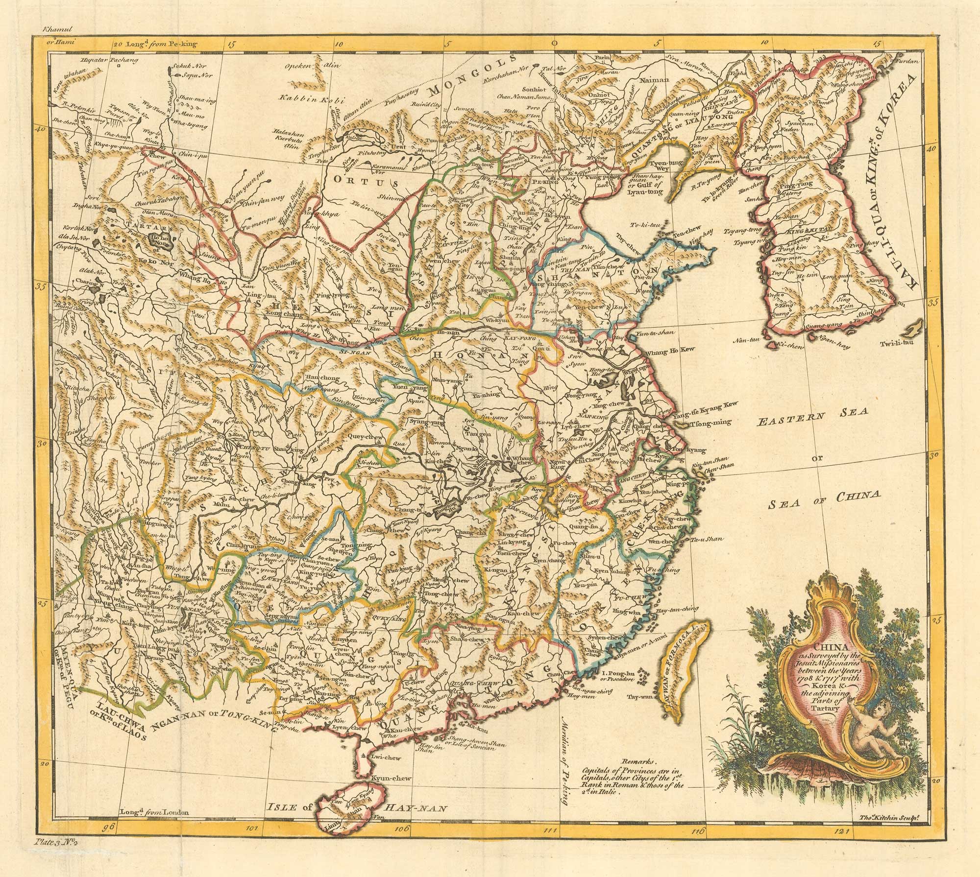
18th century map of China
KITCHIN, Thomas. Date: 1747 Stock #: 19967 £280.00
Add to Wishlist
Add to Wishlist