17th century map of the rivers of Asia
Tabula Geographica Hydrophylacium Asiae Majoris exhibens, quo Omnia Flumina sive proximè sive remotè per occultos maeandros Originem suam sortiuntur.
Amsterdam, c.1665. 345 x 410mm.
£975.00
1 in stock
x
Question About This Item?
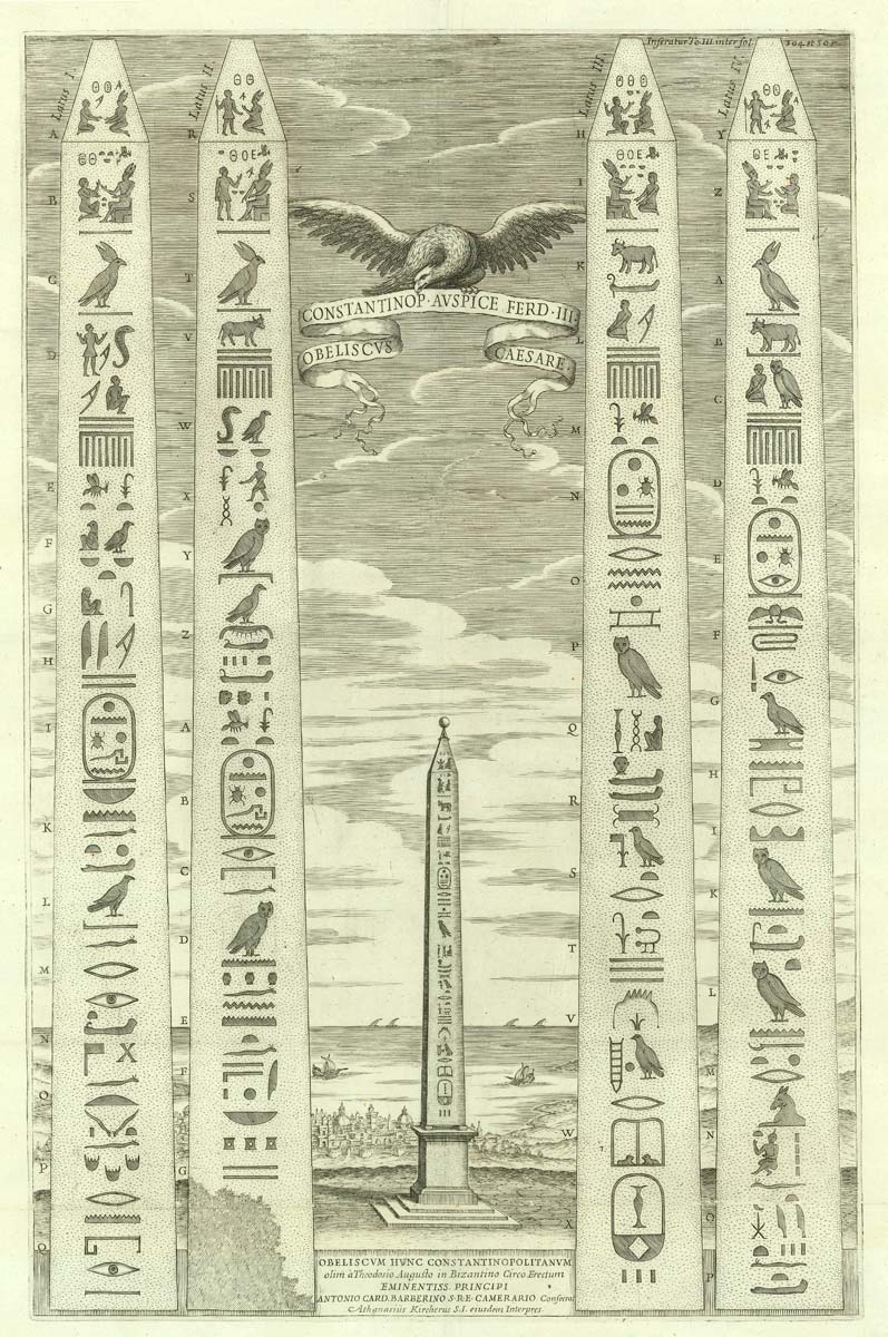
17th century map of the rivers of Asia & KIRCHER, Athanasius.Stock #: 20560
Add to Wishlist
Export as PDFEnquireSimilar to Sell?Add to Wishlist
Description
An unusual map of south Asia from Arabia to Japan, designed to show the major rivers of the continent. Kircher posits two discredited theories: that the Indus and Ganges share a source as a large subterranean lake in the Himalayas, illustrated with a vignette; and 'Chiamai lac' (Chiang Mai in northern Thailand) as the source of the other great rivers, including the Mekong, Irrawaddy and Chao Phraya.
Published in a Dutch-text edition of the 'Mundi Subterranei', first published 1665.
Condition:
A good example.Related products
-
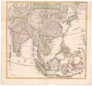
Early 18th century map of the East Indies
DELISLE, Guillaume. Date: 1705Stock #: 23907 £980.00 -
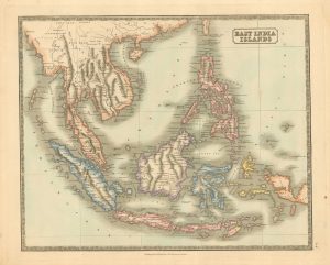
Mid 19th century map of the East India Islands
GELLATLY, John. Date: 1843Stock #: 19952 £175.00 -
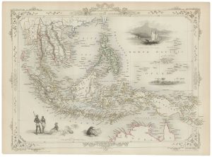
A mid-19th century map of the East Indies with decorative vignettes
TALLIS, John. Date: 1851Stock #: 21611 £240.00 -

The first printed map recording Tasman’s second visit to Australia, 1644
DONCKER, Hendrik. Date: 1659Stock #: 24893 £15,000.00 -
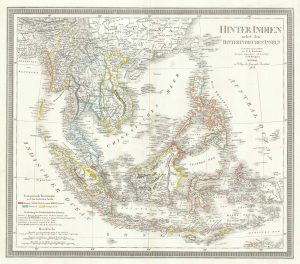
A mid-19th century map of the East Indies
WEILAND, Carl Ferdinand. Date: 1847Stock #: 21922 £240.00 -
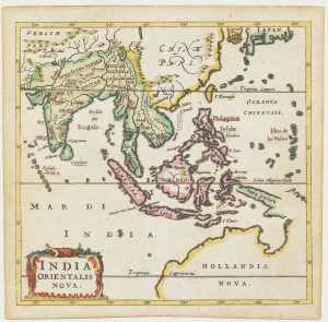
17th century miniature map of the East Indies
CLUVER, Philip. Date: 1659Stock #: 18843 £650.00 -
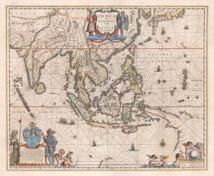
A 17th century map of the trading empire of the Dutch East India Company
BLAEU, Willem Janszoon. Date: 1650Stock #: 22918 £1,650.00 -
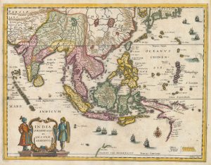
A mid-17th century map of the Far East
MERIAN, Matthaus. Date: 1650Stock #: 22920 £700.00 -
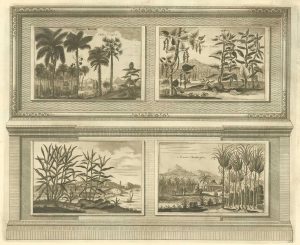
Illustrations of the flora and fauna of the East-Indies
AA, Pieter van der. Date: 1725Stock #: 20089 £200.00
Items by the same author
Add to Wishlist
Add to Wishlist
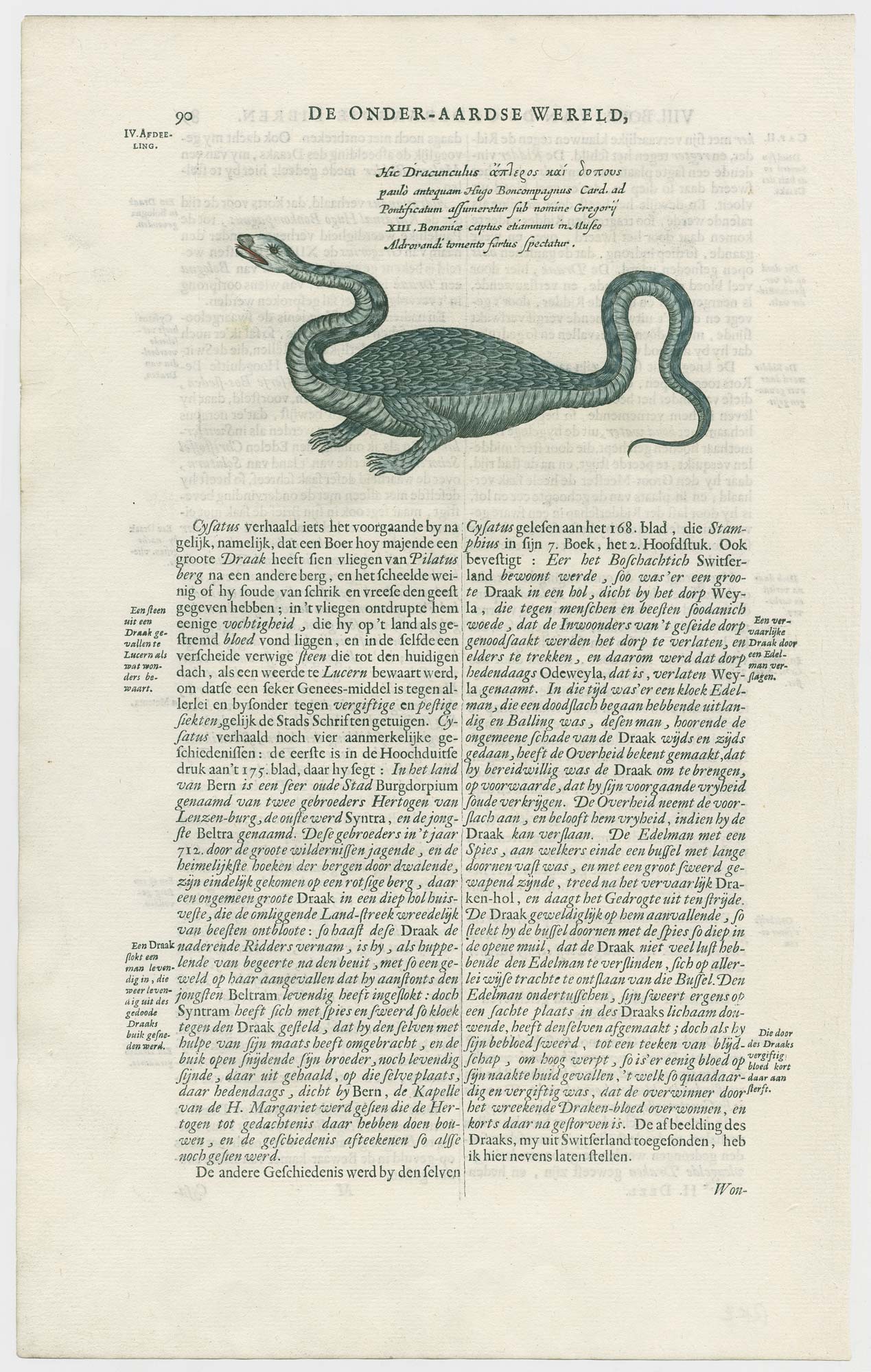
The Dragon of Bologna
KIRCHER, Athanasius. Date: 1682 Stock #: 24696 £450.00
Add to Wishlist
Add to Wishlist
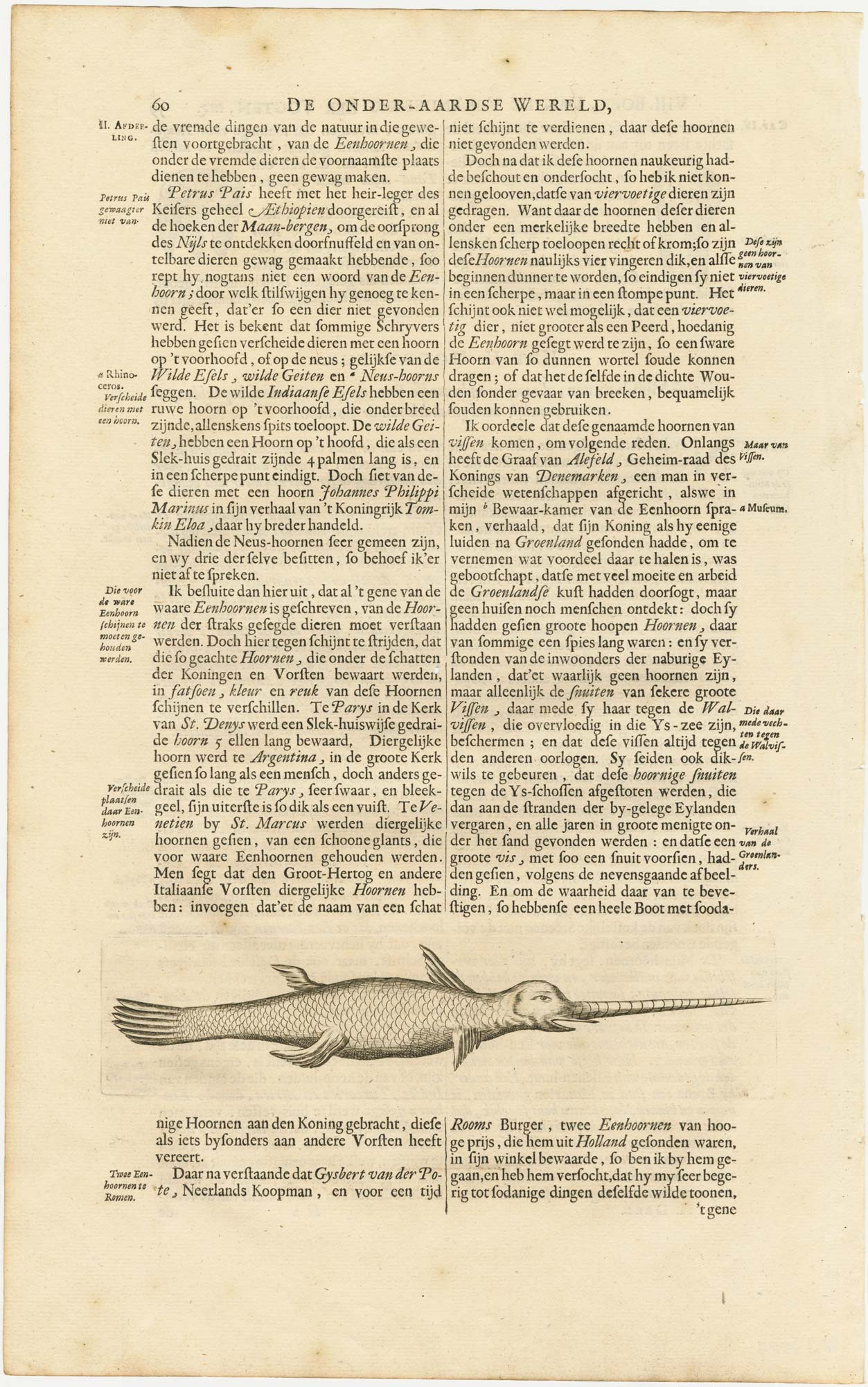
A 17th century ilIllustration of a narwhal
KIRCHER, Athanasius. Date: 1682 Stock #: 23704 £150.00
Add to Wishlist
Add to Wishlist