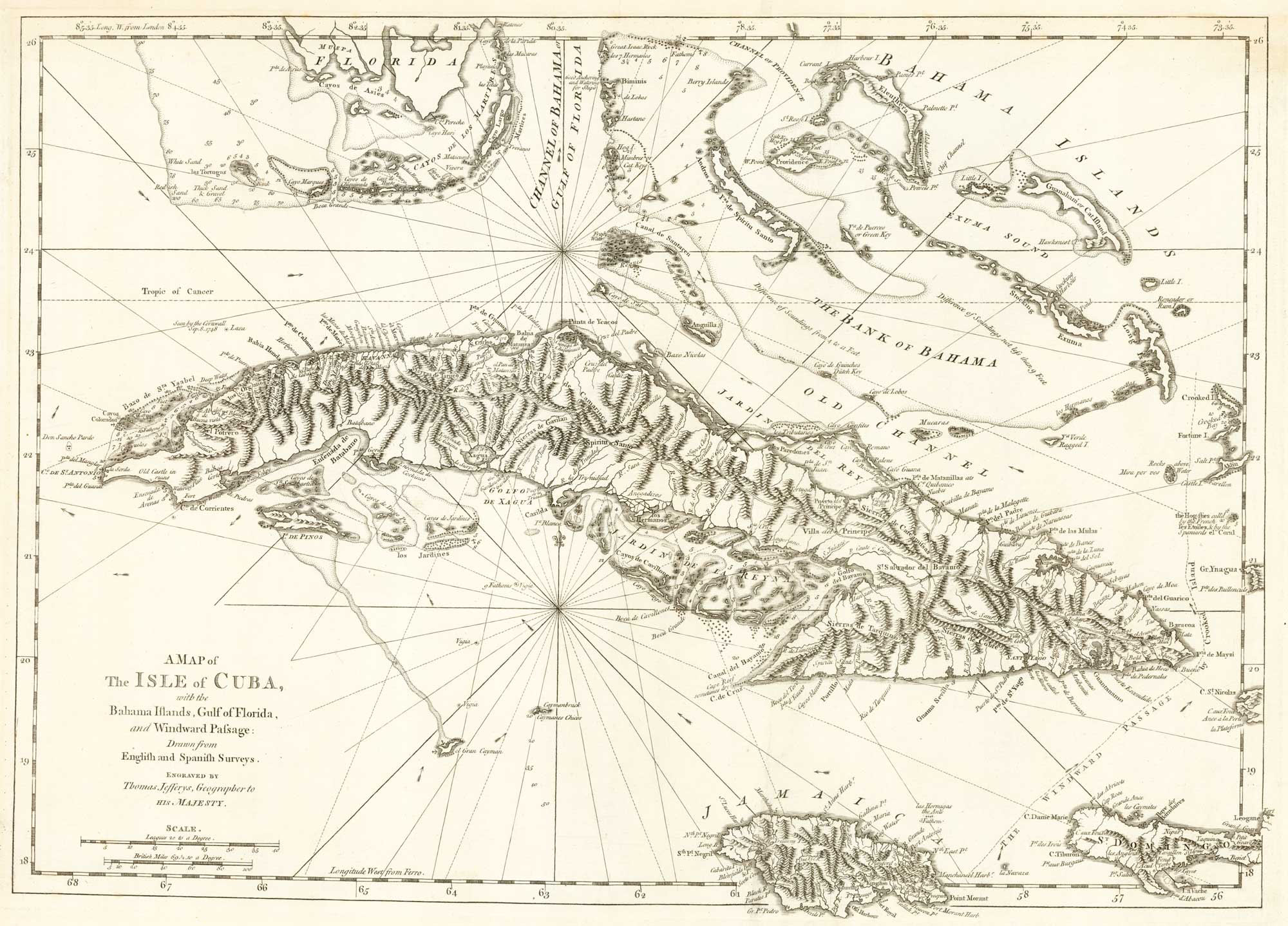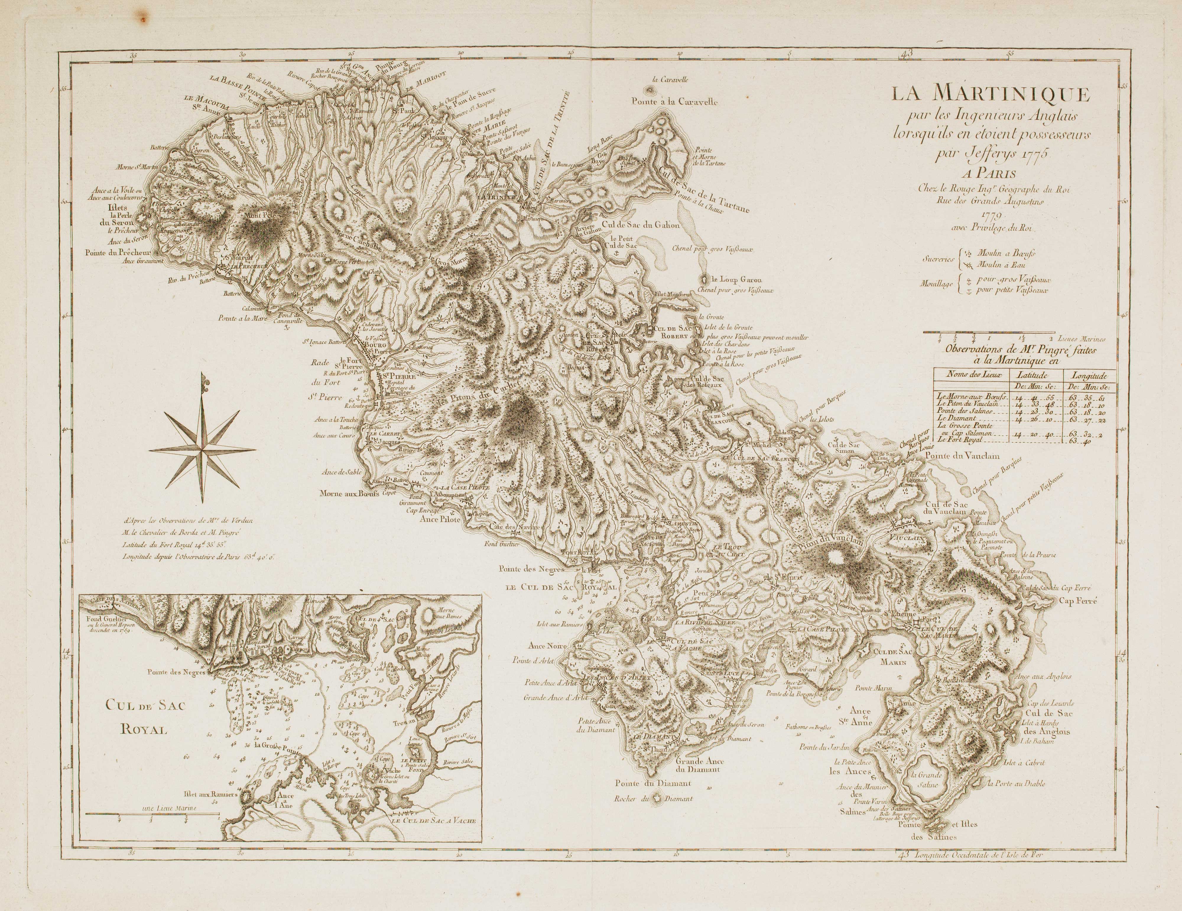


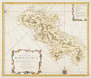
Map of 18th-century Martinique
La Martinique par les Ingenieurs Anglais par Jefferys 1775.
Paris: Le Rouge, 1779. 485 x 625mm.
£550.00
Description
A French edition of Jefferys' map of Martinique as published in the West India Atlas. An inset shows the Baie de Fort de France.
Condition:
A good example.Related products
-
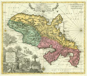
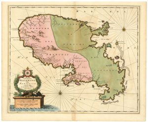
18th century map of Martinique in fine colour
SEUTTER, Matthaus. Date: 1730Stock #: 19343 £550.00 -
Early 18th century map of Martinique
FER, Nicolas de. Date: 1704Stock #: 18419 £250.00 -
17th century map of Martinique in fine colour
VISSCHER, Nicolas Jansz. Date: 1657Stock #: 24747 £600.00 -
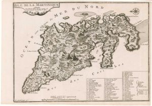
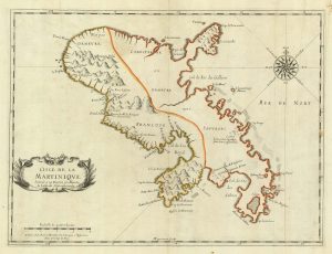
Detailed map of Martinique published during the Seven Years’ War
BELLIN, Jacques-Nicolas. Date: 1762Stock #: 14635 £600.00 -
A scarce 17th century French map of Martinique
MARIETTE, Pierre. Date: 1650Stock #: 21841 £400.00 -
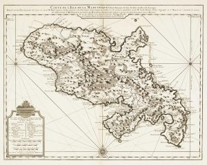
18th century map of Martinique
COVENS & MORTIER. Date: 1740Stock #: 12311 £650.00
Items by the same author
Add to Wishlist
Add to Wishlist
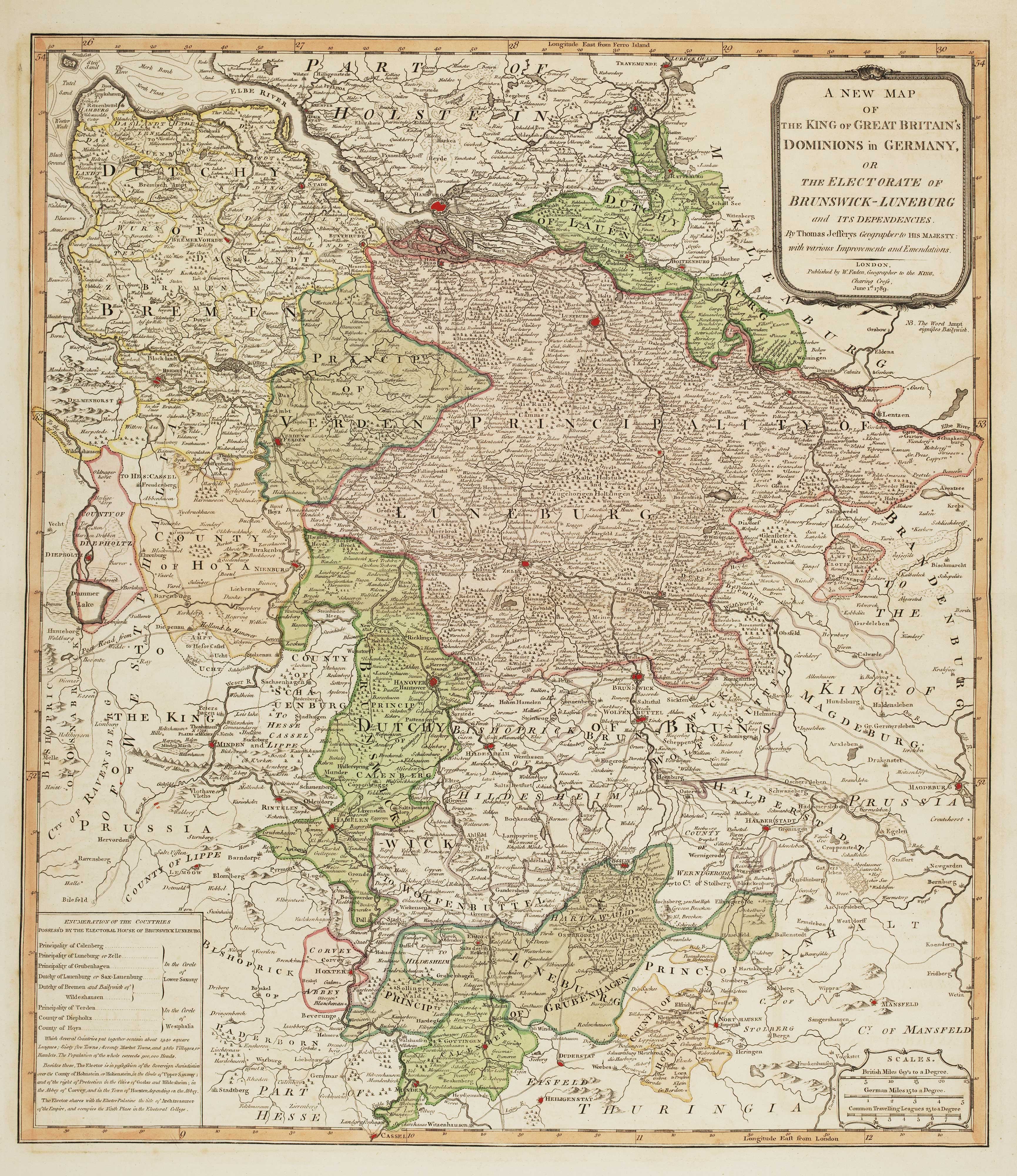
The German possessions of the Georgian monarchs
JEFFERYS, Thomas. Date: 1789 Stock #: 7964 £280.00
Add to Wishlist
Add to Wishlist
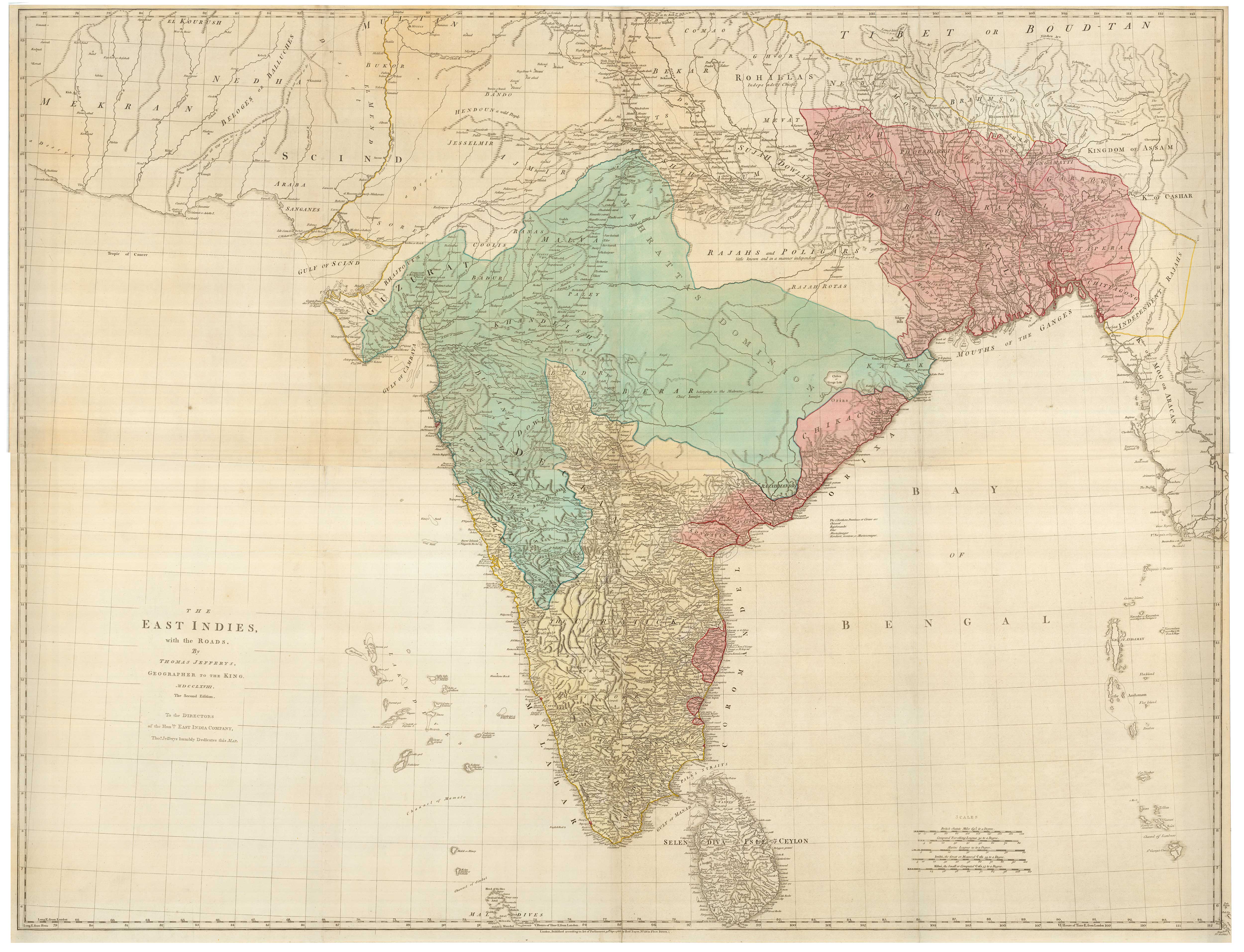
A four-sheet map of India in the 18th century
JEFFERYS, Thomas. Date: 1768 Stock #: 23966 £2,800.00
Add to Wishlist
Add to Wishlist
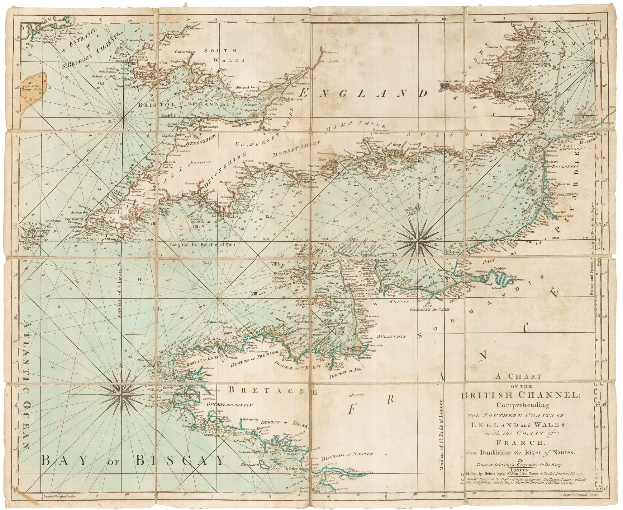
An 18th century sea chart of the English Channel
JEFFERYS, Thomas. Date: 1775 Stock #: 23417 £450.00
Add to Wishlist
Add to Wishlist
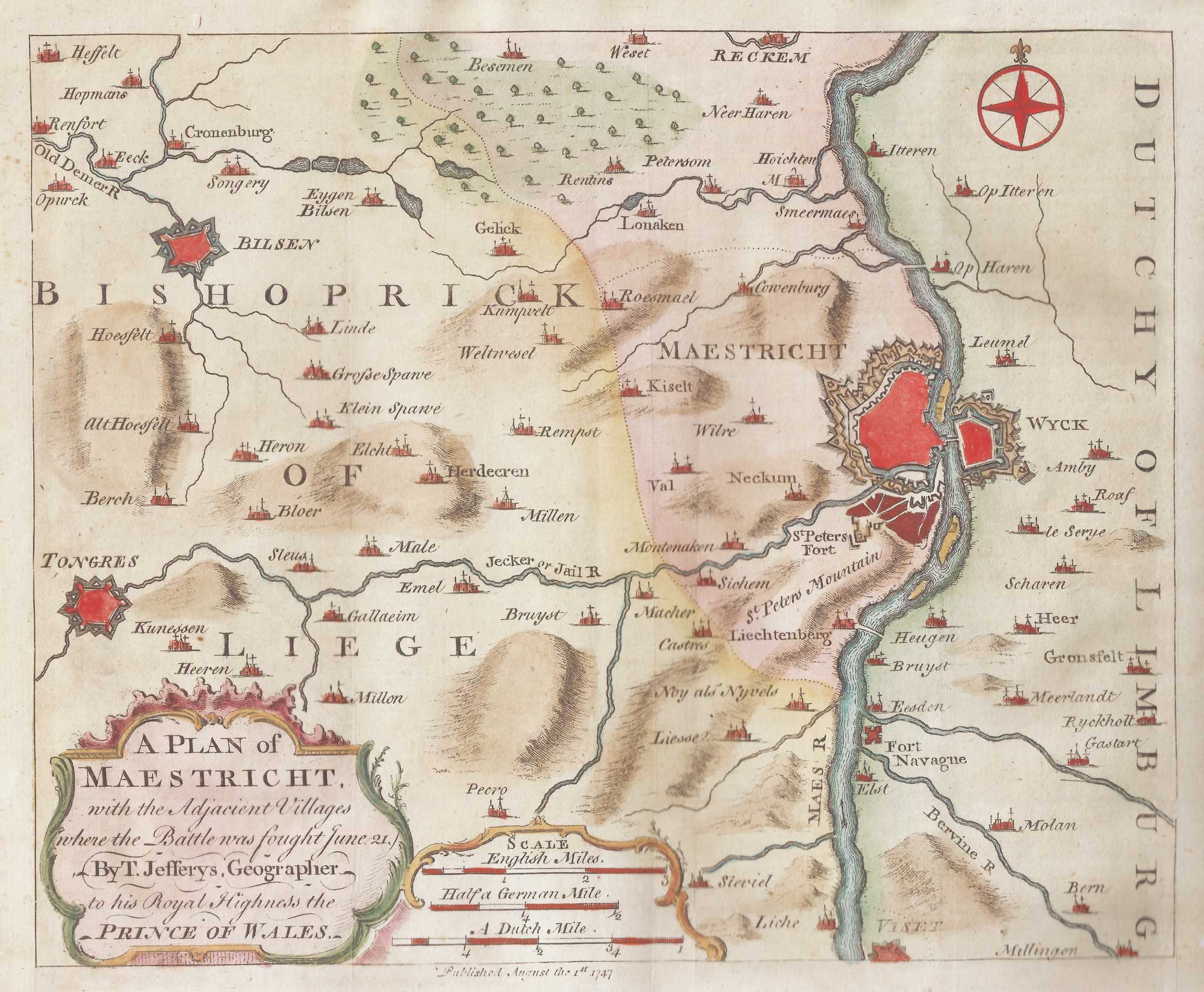
The environs of Maastricht and the Battle of Lauffeldt
JEFFERYS, Thomas. Date: 1747 Stock #: 21641 £140.00
Add to Wishlist
Add to Wishlist