


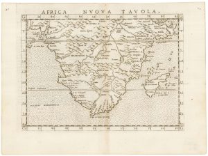
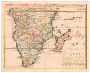
17th century Dutch map of South Africa
Aethiopia Inferior vel Exterior. Partes magis Septentrionales, que hic desiderantus, vide in tabula Aethiopiae Superioris.
Amsterdam, 1639-44, French text. Coloured. 385 x 505mm.
£600.00
Description
A map of southern Africa below Angola and Zanzibar, based on Portuguese surveys before the Dutchman Van Riebeek had settled at the Cape. A decorative cartouche shows natives holding up an animal skin on which is the map title.
First published in 1636 this is a very close copy of Blaeu's map: the most obvious difference is the lack of a galleon between the mainland Madagascar.
Condition:
A good example.References:
TOOLEY: Africa, p.58.Related products
-
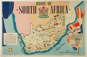
A pictorial map of South Africa from the Second World War
ANDERSON, W. Date: 1943Stock #: 16656 £650.00 -
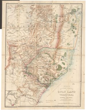
A contemporary military folding map for the Anglo-Zulu War of 1879.
WYLD, James. Date: 1879Stock #: 22989 £650.00 -

A decorative map of South Africa
BRION DE LA TOUR, Louis. Date: 1786Stock #: 19597 £165.00 -
A 16th century map of Southern Africa
RUSCELLI, Girolamo. Date: 1557Stock #: 22243 £350.00 -
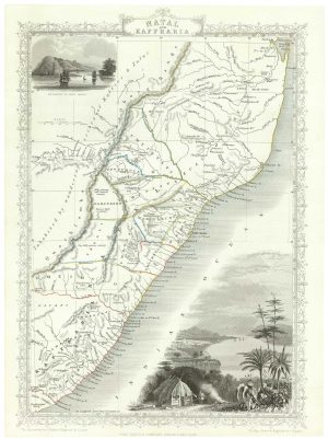
Mid-19th century map of eastern South Africa
TALLIS, John. Date: 1851Stock #: 18539 £130.00 -
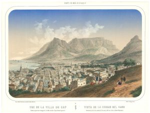
A mid-19th century view of Cape Town
DEROY, Isidore Laurent. Date: 1850Stock #: 24824 £950.00 -
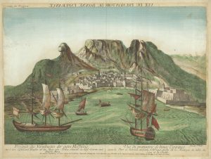
18th century vue d’optique of the Cape of Good Hope
RIEDEL, Gottlieb Friedrich. Date: 1780Stock #: 23736 £600.00 -
An 18th century map of Africa below the Equator
CHATELAIN, Henri Abraham. Date: 1720Stock #: 22880 £380.00 -
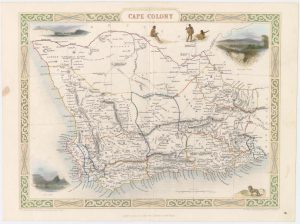
Map of Cape Colony with vignettes
TALLIS, John. Date: 1851Stock #: 18542 £150.00
Items by the same author
Add to Wishlist
Add to Wishlist

A magnificent example of the first folio sea atlas of the World
JANSSON, Jan. Date: 1650 Stock #: 23074 £47,500.00
Add to Wishlist
Add to Wishlist
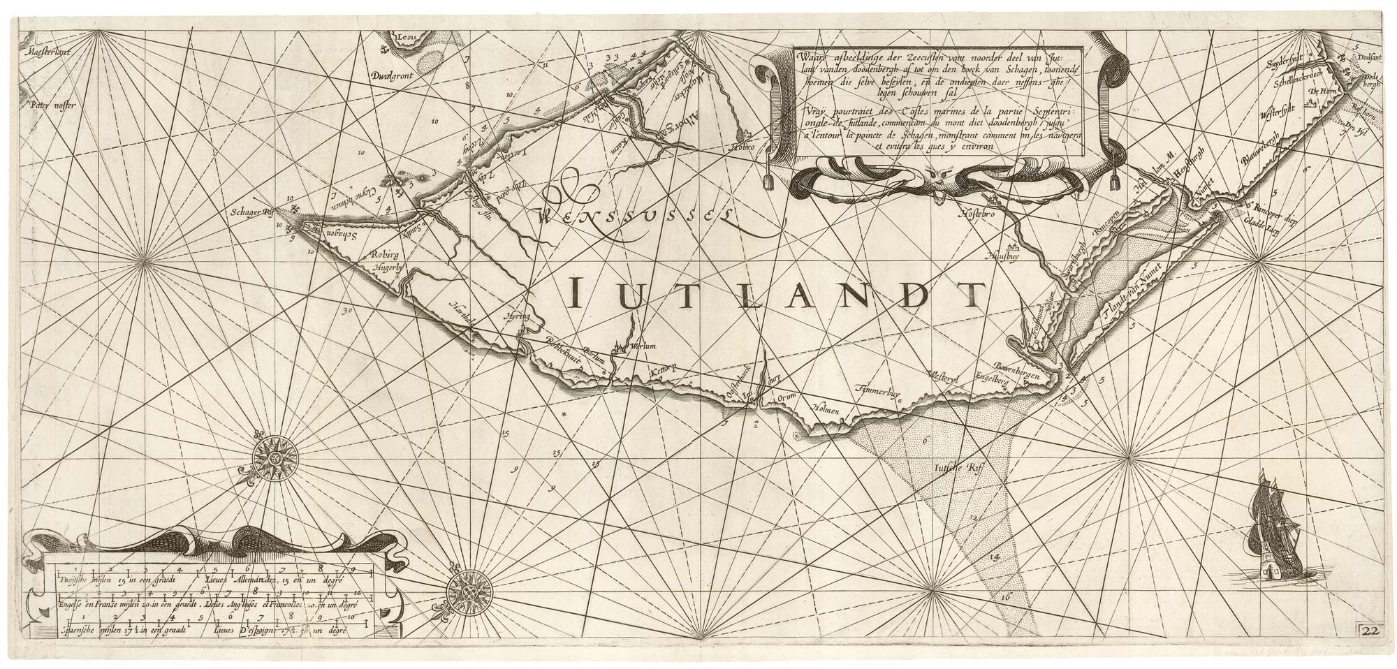
A rare 17th century sea chart of Jutland
JANSSON, Jan. Date: 1620 Stock #: 25262 £2,000.00
Add to Wishlist
Add to Wishlist

A 17th century map of Ireland from a pocket atlas
JANSSON, Jan. Date: 1631 Stock #: 25065 £325.00
Add to Wishlist
Add to Wishlist

An early issue of Jansson's map of Ireland
JANSSON, Jan. Date: 1638 Stock #: 23865 £950.00
Add to Wishlist
Add to Wishlist

Map of the River Elbe with a prospect of Hamburg
JANSSON, Jan. Date: 1630 Stock #: 24816 £500.00
Add to Wishlist
Add to Wishlist
