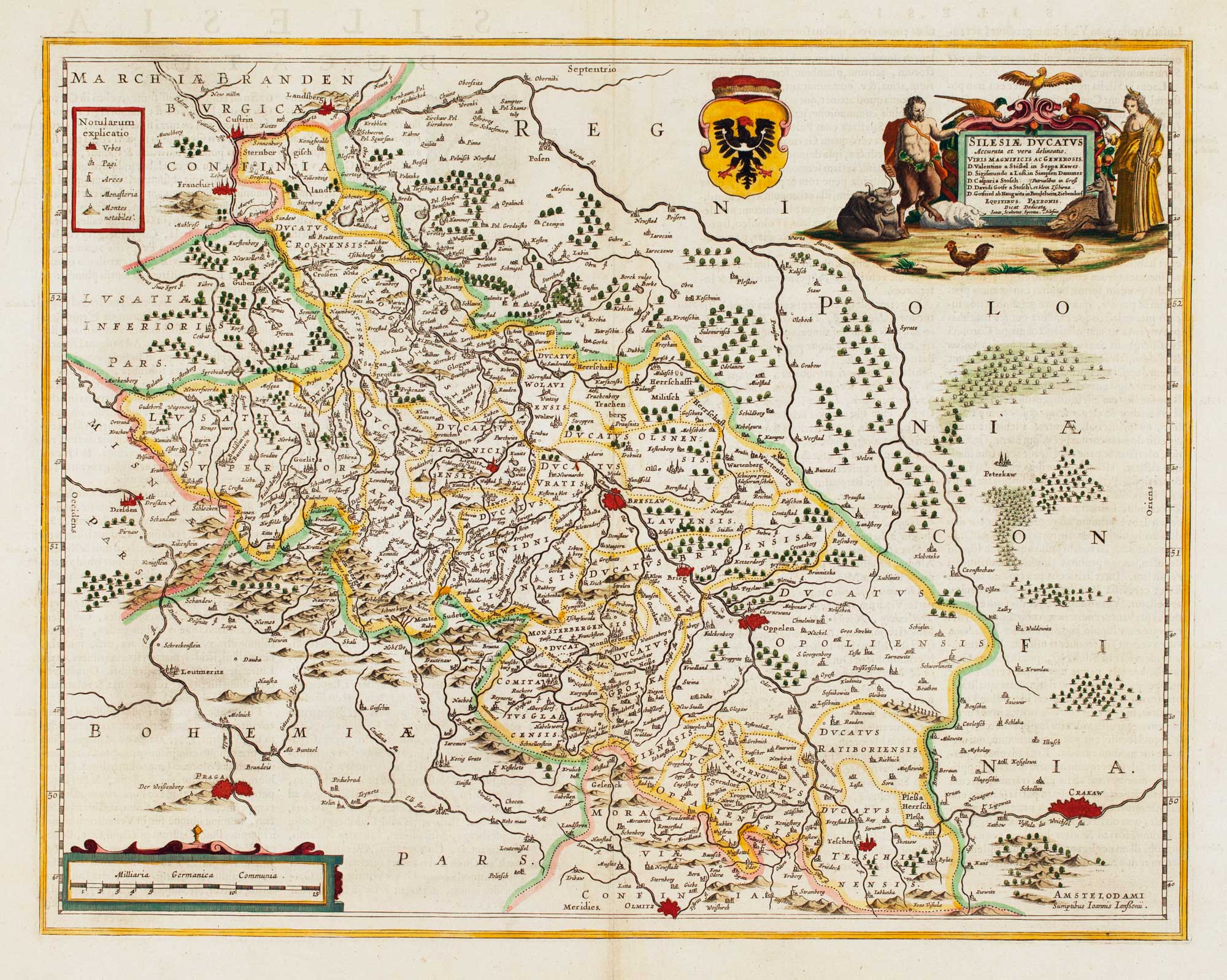


Detailed map of Silesia
Silesiae Ducatus Accurata et vera delineatio..
Amsterdam, c.1645, Latin text. Coloured. 385 x 490mm.
£450.00
Description
Silesia, with decorative cartouches for the title & scale. Centred on Wroclaw (here Breslaw), the map also marks Prague and Krakow.
Condition:
A good example.Related products
-
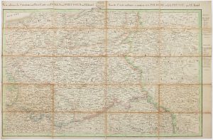
A prospect of 17th century Warsaw on two sheets
DAHLBERGH, Erik Jonsson. Date: 1696Stock #: 25083 £1,250.00 -
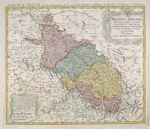
18th century map of Silesia
MAYER, Tobias. Date: 1751Stock #: 17592 £380.00 -
The Prussian and Russian occupation of the Duchy of Warsaw
KNITTEL, Johann Ernst. Date: 1812Stock #: 17231 £1,100.00 -
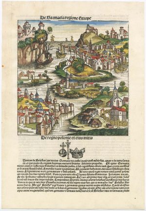
An incunable ‘view’ of Poland
SCHEDEL, D. Hartmann. Date: 1493Stock #: 23232 £650.00 -

A rare German view of Krakow
SCHNITZER, Lucas. Date: 1650Stock #: 18854 £1,800.00 -
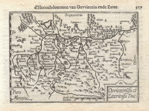
A 16th century miniature map of Oswiecim & Zator
LANGENES, Barent. Date: 1599Stock #: 21317 £110.00 -
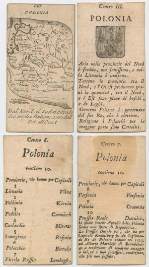
Four scarce Italian playing cards depicting Poland
Anonymous. Date: 1790Stock #: 24241 £850.00 -
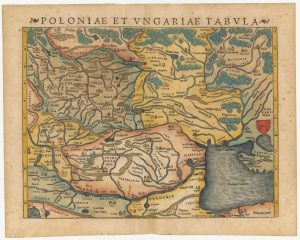
A 16th century woodcut map of Poland, Lithuania and Hungary
MUNSTER, Sebastian. Date: 1572Stock #: 24574 £700.00 -

An atlas of the Partitioning of Poland
CHODZKO, Leonard & DUFOUR, Auguste-Henri. Date: 1832Stock #: 21937 £1,800.00
Items by the same author
Add to Wishlist
Add to Wishlist

A magnificent example of the first folio sea atlas of the World
JANSSON, Jan. Date: 1650 Stock #: 23074 £47,500.00
Add to Wishlist
Add to Wishlist
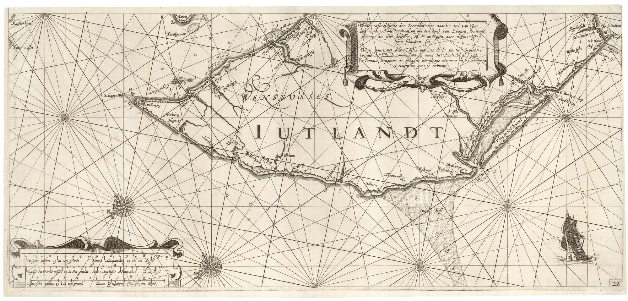
A rare 17th century sea chart of Jutland
JANSSON, Jan. Date: 1620 Stock #: 25262 £2,000.00
Add to Wishlist
Add to Wishlist

A 17th century map of Ireland from a pocket atlas
JANSSON, Jan. Date: 1631 Stock #: 25065 £325.00
Add to Wishlist
Add to Wishlist

An early issue of Jansson's map of Ireland
JANSSON, Jan. Date: 1638 Stock #: 23865 £950.00
Add to Wishlist
Add to Wishlist

Map of the River Elbe with a prospect of Hamburg
JANSSON, Jan. Date: 1630 Stock #: 24816 £500.00
Add to Wishlist
Add to Wishlist