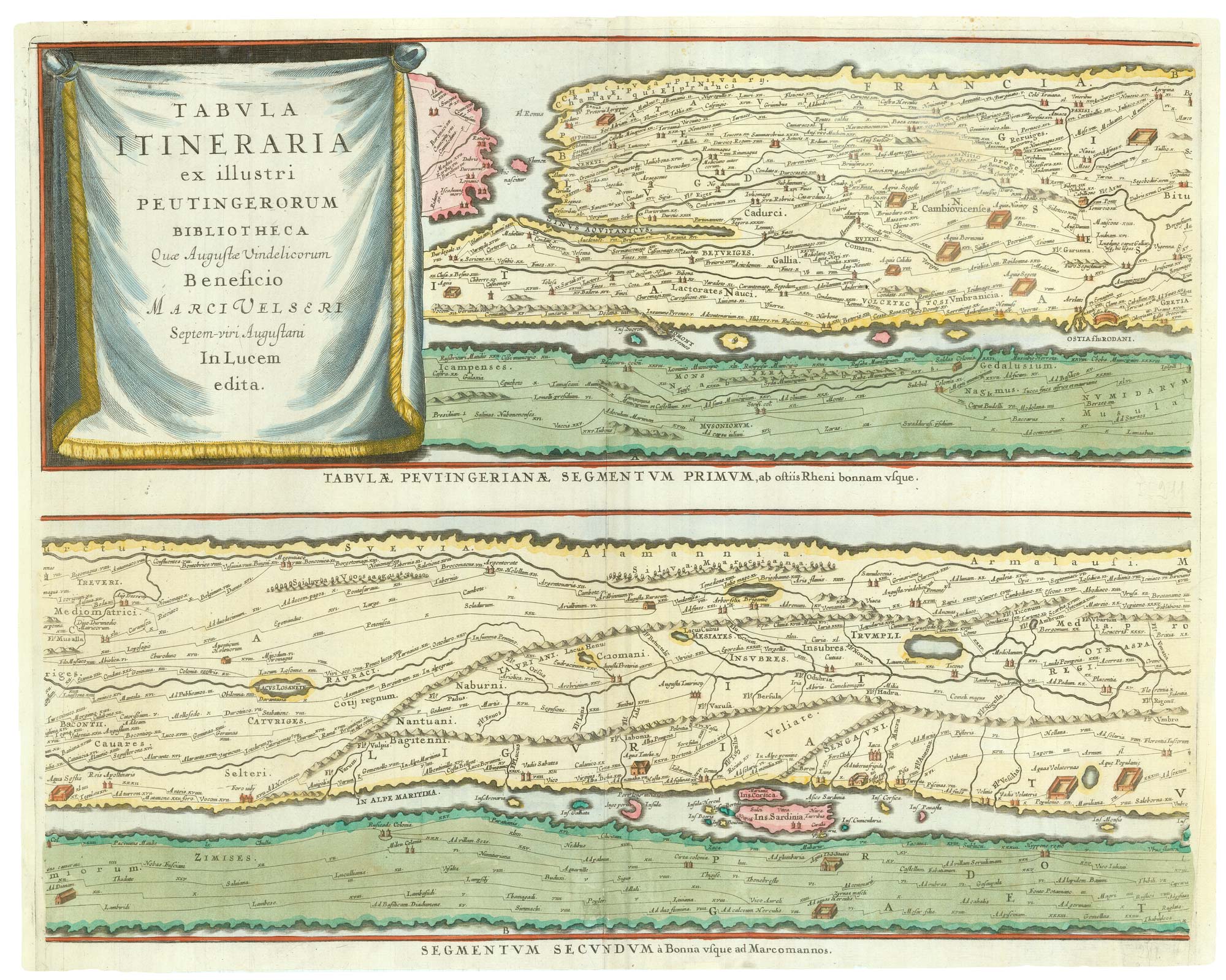


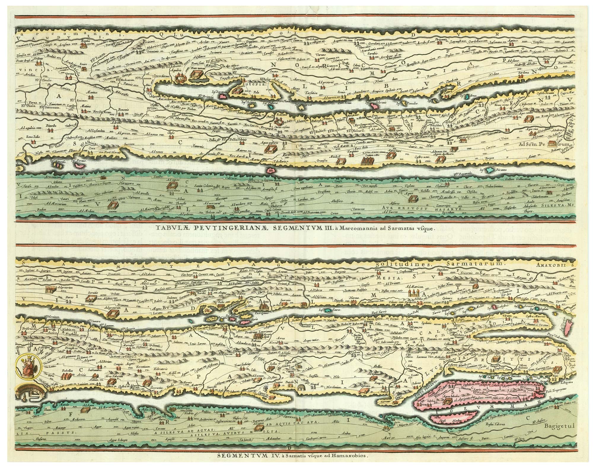
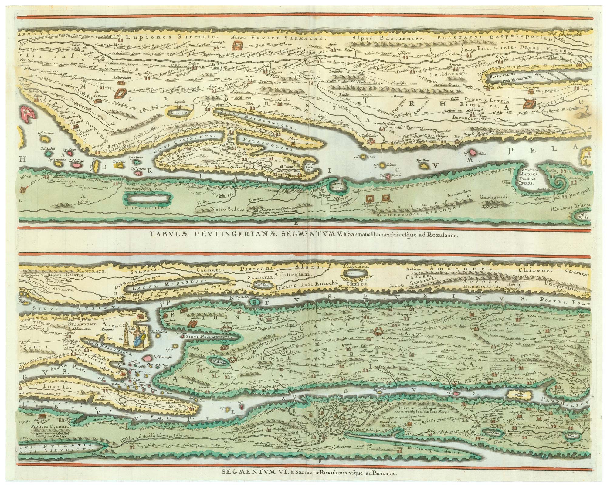

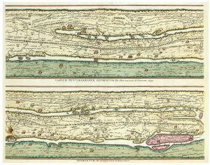

The Peutinger Table, one of the few surviving examples of Roman cartography
Tabula Itineraria ex illustri Peutingerorum Bibliotheca Quae Augustae Vindelicorum Beneficio Marci Velseri Septem-Viri Augustani In Lucem edita.
Amsterdam: 1662- c.1700. Coloured. Four sheets, each c. 415 x 505mm.
£2,000.00
1 in stock
x
Question About This Item?
The Peutinger Table, one of the few surviving examples of Roman cartography & JANSSON, Jan.Stock #: 24492
Add to Wishlist
Export as PDFEnquireSimilar to Sell?Add to Wishlist
Description
A road map of the Roman Empire, heavily distorted to show detail, one of the few surviving examples of Roman mapping, albeit from a single medieval manuscript copy. The eight parts, two to a sheet, are designed to join in one long strip, with parts of Britain, Iberia and North Africa on the left (the final section is lost), east to India and Taprobana, marking all the Roman settlements and about 70,000 miles of road. On eastern sheet there are two notes in Latin: 'Here scorpions live' & 'Here elephants live'.
The manuscript (known as the Peutinger Table' after Konrad Peutinger, the man who brought it to the world's attention in the early C16th) was drawn on a parchment scroll 34cm high by 675cm by a monk in Alsace in the 13th century. The map he was copying was probably based on the one commissioned by Marcus Vipsanius Agrippa (c.64-12 BC), but updated in the 5th century AD: Pompeii is marked despite being obliterated in 79 AD, yet both Constantinople and Antioch have the prominence only given to them after the Emperor Constantine (272-337 AD).
In 1598 Ortelius requested manuscript copies of Peutinger's map; these were sent to him but Ortelius' death meant that engraved versions only appeared in his Parergon atlas from 1624. Jansson used these as his source, retaining all the detail, which was fortunate as the manuscript suffered degradation in the following years and, although housed in the Vienna Natinal Library, it is not nearly as legible as it was in Ortelius' time.
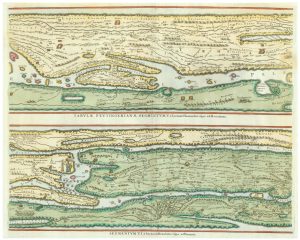
Two sheets are from the 1662 Latin edition of the 'Atlas Major' and two from the Hornius atlas of the ancient world c.1700, without text on the backs.
Condition:
A good example.Related products
-
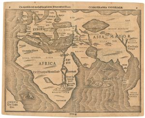
A 16th century woodblock map of the Old World
BÜNTING, Heinrich. Date: 1581Stock #: 24728 £1,800.00 -
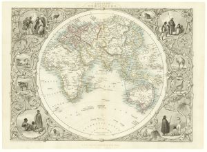
The Eastern Hemisphere
TALLIS, John. Date: 1851Stock #: 18509 £250.00 -
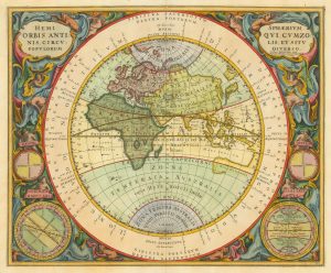
A map of the Eastern Hemisphere with superb borders
CELLARIUS, Andreas. Date: 1660Stock #: 22132 £2,400.00 -
A fine map of the Classical World
OTTENS, Reinier & Joshua. Date: 1746Stock #: 22763 £360.00 -
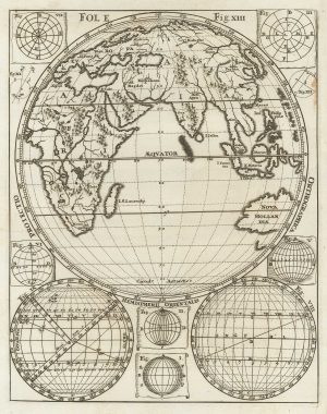
An unusual map of the Eastern Hemisphere
SCHERER, Heinrich. Date: 1710Stock #: 21537 £180.00
Items by the same author
Add to Wishlist
Add to Wishlist

A magnificent example of the first folio sea atlas of the World
JANSSON, Jan. Date: 1650 Stock #: 23074 £47,500.00
Add to Wishlist
Add to Wishlist
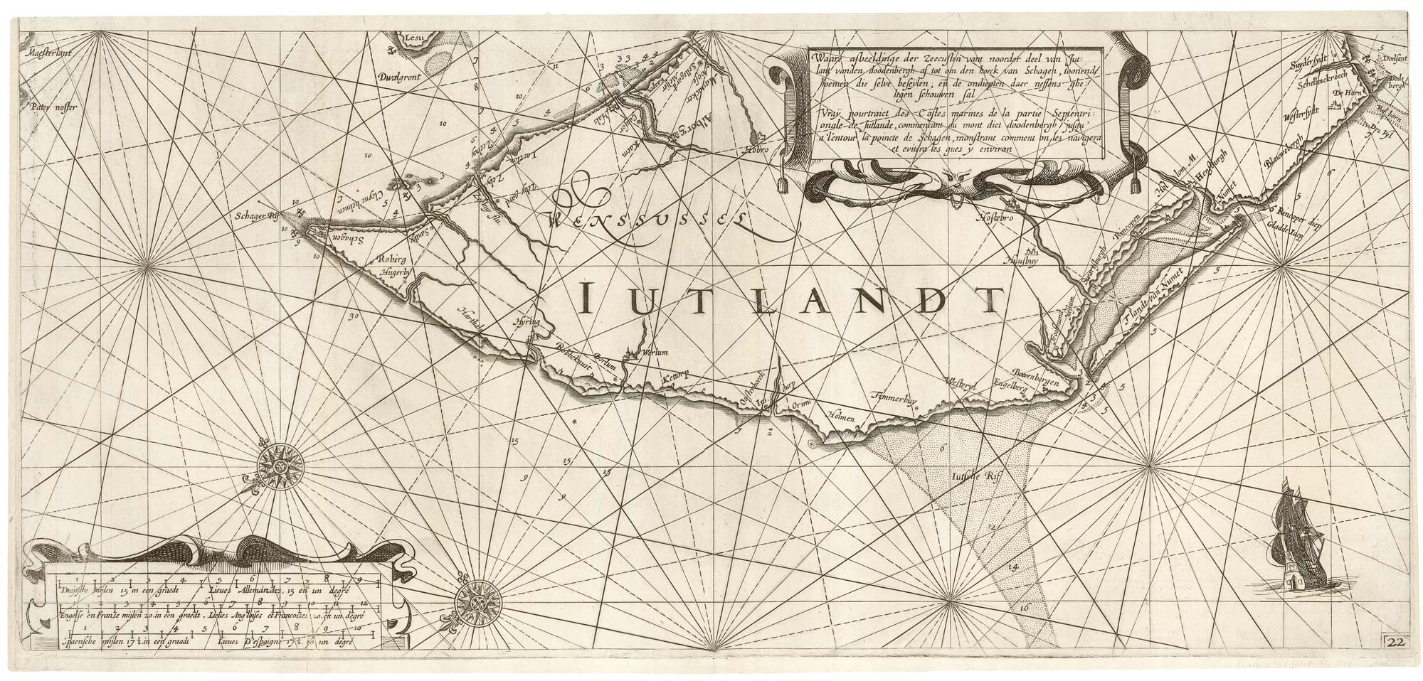
A rare 17th century sea chart of Jutland
JANSSON, Jan. Date: 1620 Stock #: 25262 £2,000.00
Add to Wishlist
Add to Wishlist

A 17th century map of Ireland from a pocket atlas
JANSSON, Jan. Date: 1631 Stock #: 25065 £325.00
Add to Wishlist
Add to Wishlist

An early issue of Jansson's map of Ireland
JANSSON, Jan. Date: 1638 Stock #: 23865 £950.00
Add to Wishlist
Add to Wishlist

Map of the River Elbe with a prospect of Hamburg
JANSSON, Jan. Date: 1630 Stock #: 24816 £500.00
Add to Wishlist
Add to Wishlist
