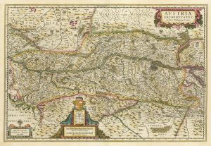
A 17th century map of Austria
Austria Archiducatus Auctore Wolfgango Lazio.
Amsterdam, c.1650, blank verso. Coloured. 395 x 495mm.
£400.00
Description
Austria, with decorative cartouches for the title, scale and key, based on the work of Wolfgang Laz (1514-65).
Condition:
Some restoration in marginsRelated products
-
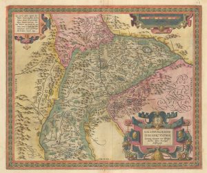
Ortelius’s map of the province of Salzburg, in fine colour
ORTELIUS, Abraham. Date: 1612Stock #: 23808 £600.00 -
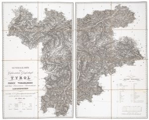
A detailed map of Tyrol, Vorarlberg and Liechtenstein
STEIN, C. Date: 1831Stock #: 20641 £450.00 -
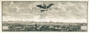
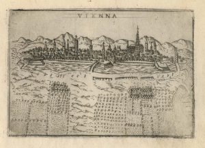
Panorama of Vienna under siege by the Ottomans
SUTTINGER, Daniel. Date: 1683Stock #: 13748 £800.00 -
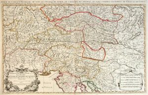
Two-sheet map of Austria
JAILLOT, Alexis-Hubert. Date: 1705Stock #: 8270 £350.00 -
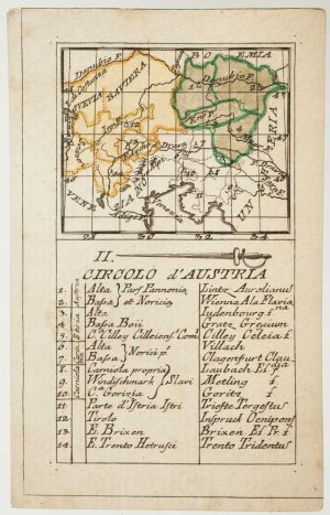
An 18th century playing-card map of Austria
RABATTA, Augusto & BAILOU, Jean Baptist de. Date: 1779Stock #: 12961 £150.00 -
A 17th century map of Austria
HONDIUS, Jodocus II. Date: 1635Stock #: 23746 £350.00 -
A 16th century town plan of Vienna
VALEGIO, Francesco. Date: 1598Stock #: 24172 £200.00 -
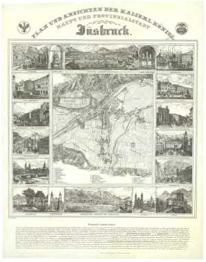
A scarce plan of Innsbruck with vignettes
TEPLY, Josef. Date: 1840Stock #: 21208 £750.00 -
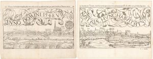
A two-sheet woodcut prospect of Vienna in the 16th century
MUNSTER, Sebastian. Date: 1548Stock #: 22492 £550.00
Items by the same author
Add to Wishlist
Add to Wishlist

A magnificent example of the first folio sea atlas of the World
JANSSON, Jan. Date: 1650 Stock #: 23074 £47,500.00
Add to Wishlist
Add to Wishlist
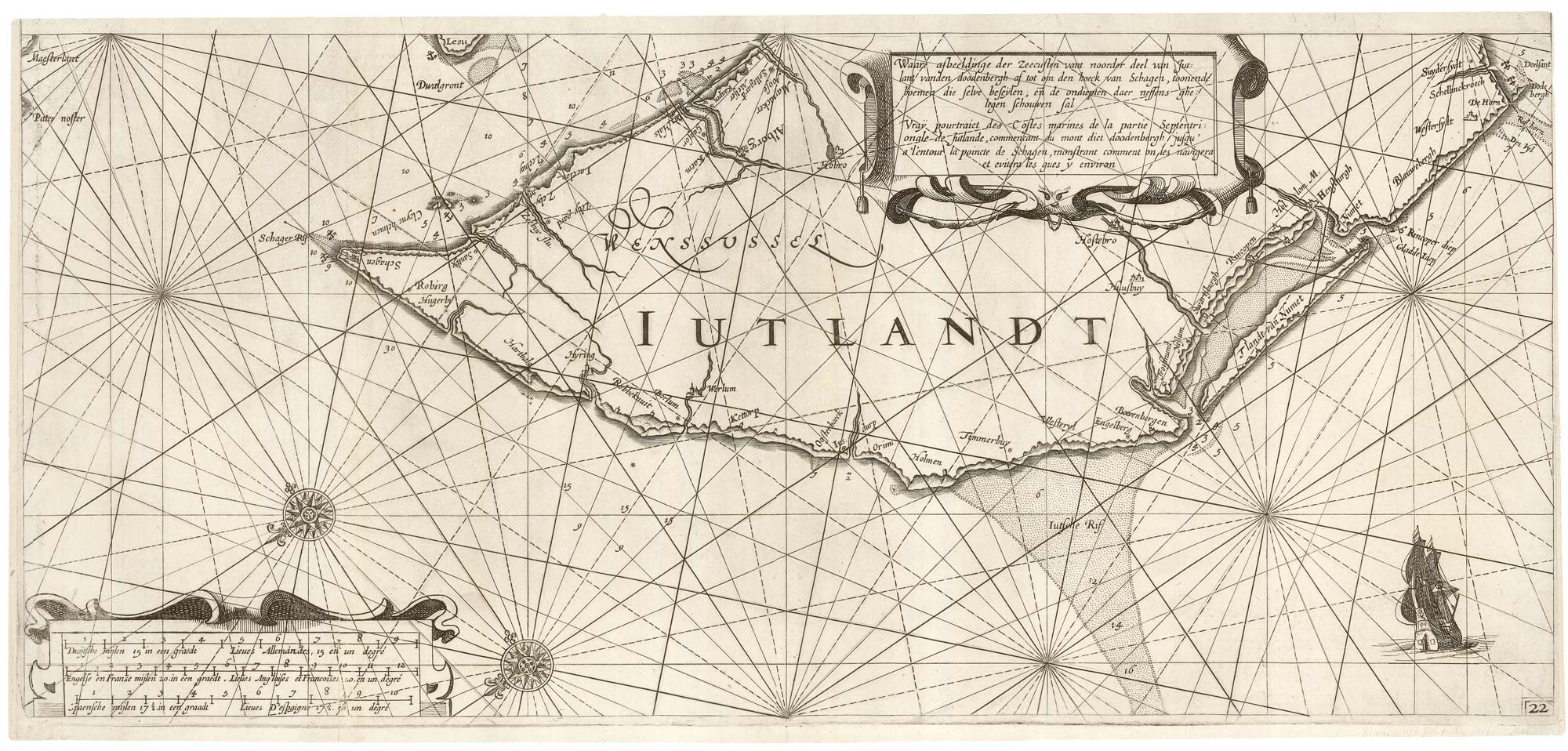
A rare 17th century sea chart of Jutland
JANSSON, Jan. Date: 1620 Stock #: 25262 £2,000.00
Add to Wishlist
Add to Wishlist

A 17th century map of Ireland from a pocket atlas
JANSSON, Jan. Date: 1631 Stock #: 25065 £325.00
Add to Wishlist
Add to Wishlist

An early issue of Jansson's map of Ireland
JANSSON, Jan. Date: 1638 Stock #: 23865 £950.00
Add to Wishlist
Add to Wishlist

Map of the River Elbe with a prospect of Hamburg
JANSSON, Jan. Date: 1630 Stock #: 24816 £500.00
Add to Wishlist
Add to Wishlist