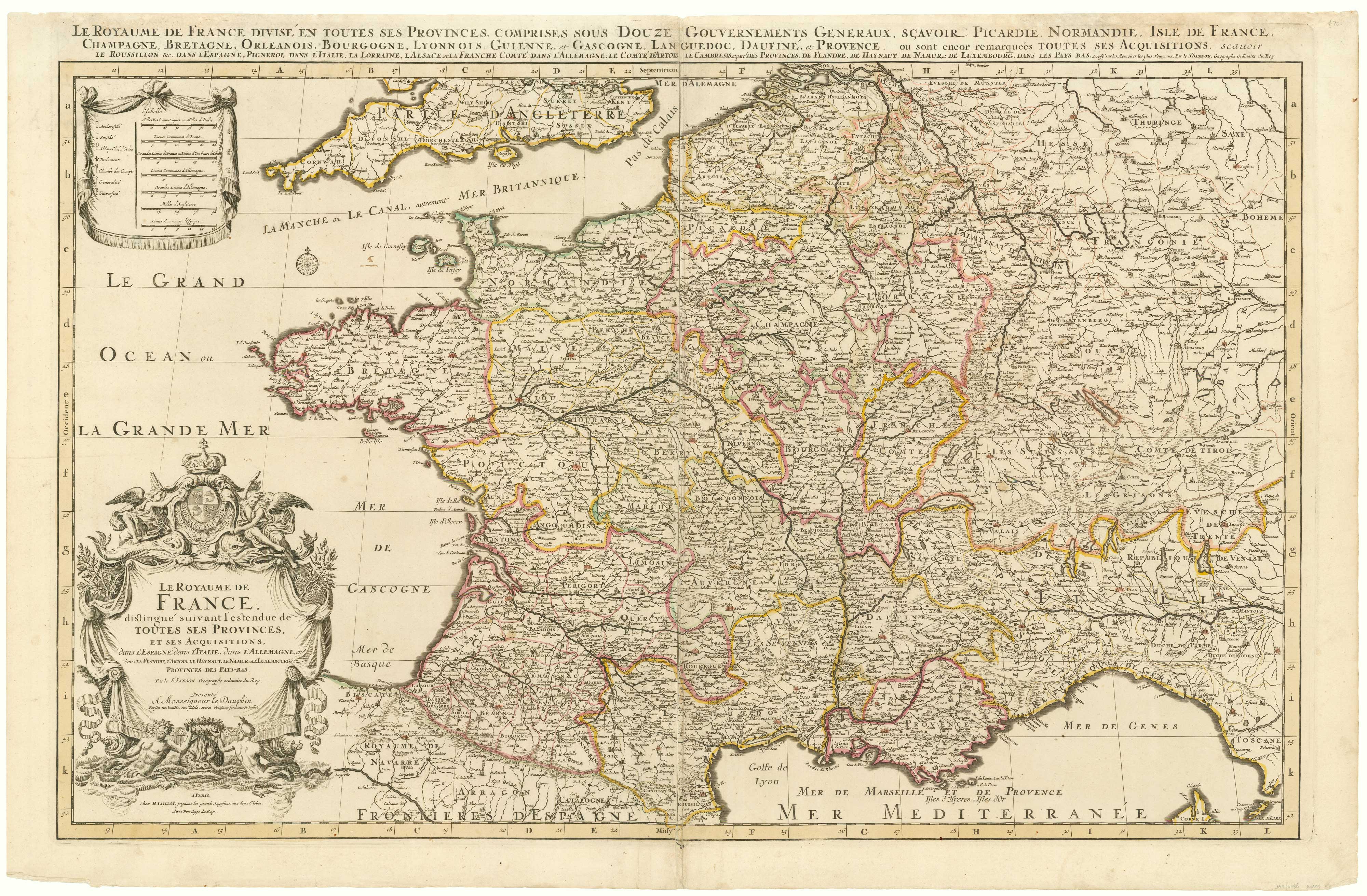


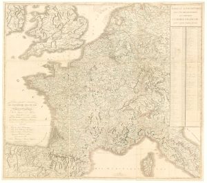
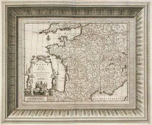
A two-sheet map of France
Le Royaume de France distinqué suivant l'estendue de Toutes ses Provinces, et ses Acquistions, dans l'Espagne, dans l'Italie, dans l'Allemagne, et dans La Flandre, L'Artois, Le Haynaut, Le Namur, et Le Luxembourg, Provinces des Bays-Bas.
Amsterdam, Pieter Mortier, c.1705. Original colour. Two sheets conjoined, total 595 x 890mm.
£700.00
Description
A large and decorative map showing the enlargement of French territory by Louis XIV. It is based on Sanson's map, which Jaillot had redrawn on a larger scale at the request of Sanson's heirs: this example comes from Mortier's issue of Jaillot's 'Atlas Nouveau', with fine baroque title and scale cartouches.
Condition:
Top margin reinforced with archivist's tissue.References:
KOEMAN: Mor 1.Related products
-
A fine 18th century miniature atlas of the coasts of France
BONNE, Rigobert. Date: 1778Stock #: 21944 £2,700.00 -
Map of revolutionary France, in fine colour
FADEN, William. Date: 1792Stock #: 7419 £250.00 -
A scarce 16th century map of France
DE JODE, Gerard. Date: 1578Stock #: 15515 £1,000.00 -
Wall map of the French Empire at its height
CHAUMIER & MAUBORGNE. Date: 1813Stock #: 17401 £900.00 -
A rare ‘carte à figures’ map of France
KEERE, Pieter van den. Date: 1630Stock #: 22258 £3,500.00 -
A decorative 18th century map of France
BRION DE LA TOUR, Louis. Date: 1770Stock #: 15529 £200.00 -
France
AA, Pieter van der. Date: 1715Stock #: 9943 £340.00 -
A rare four-sheet wall map of France dedicated to the Sun King
NOLIN, Jean Baptiste. Date: 1705Stock #: 19443 £2,200.00 -
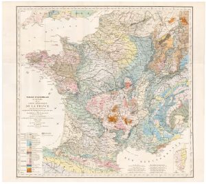
The index map of the first geological map of France
DUFRENOY, P.A. & ELIE DE BEAUMONT, J.B. Date: 1817Stock #: 22488 £650.00
Items by the same author
Add to Wishlist
Add to Wishlist
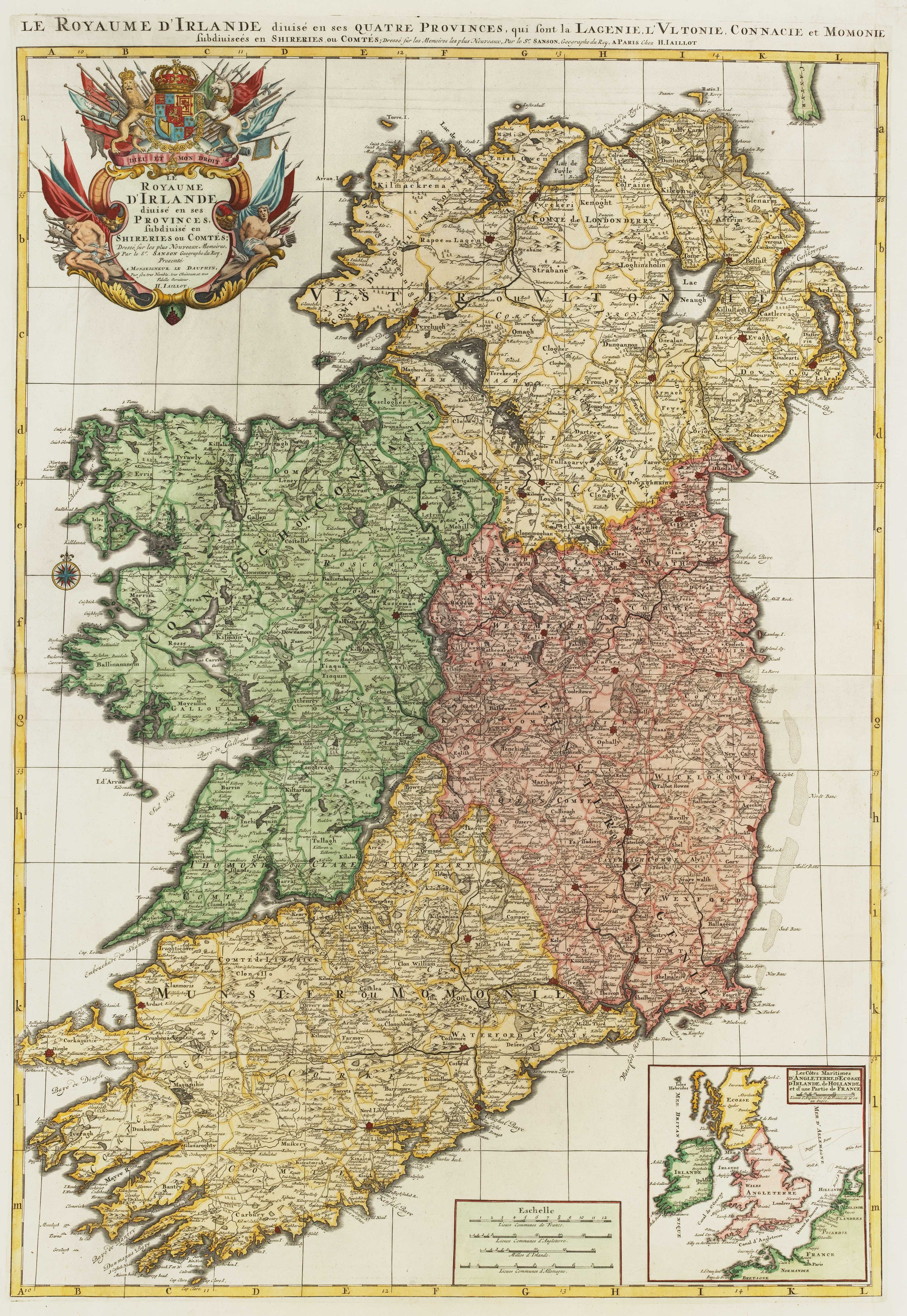
A two-sheet map of Ireland
JAILLOT, Alexis-Hubert. Date: 1700 Stock #: 8318 £1,300.00
Add to Wishlist
Add to Wishlist
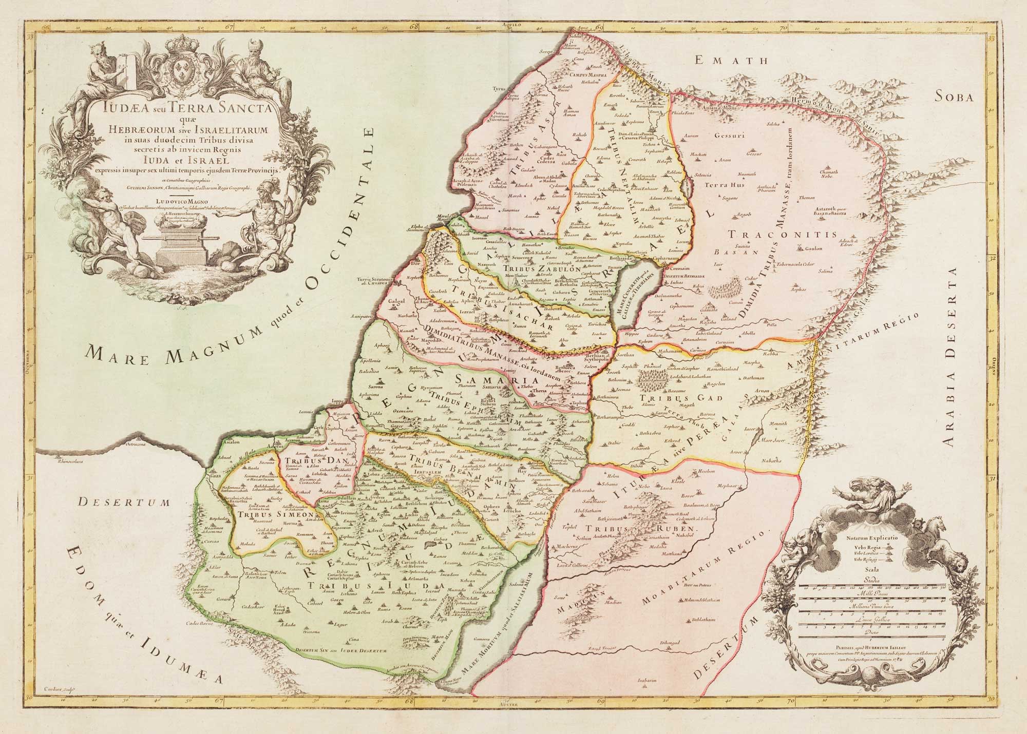
18th century map of the Holy Land in fine colour
JAILLOT, Alexis-Hubert. Date: 1781 Stock #: 14768 £450.00
Add to Wishlist
Add to Wishlist
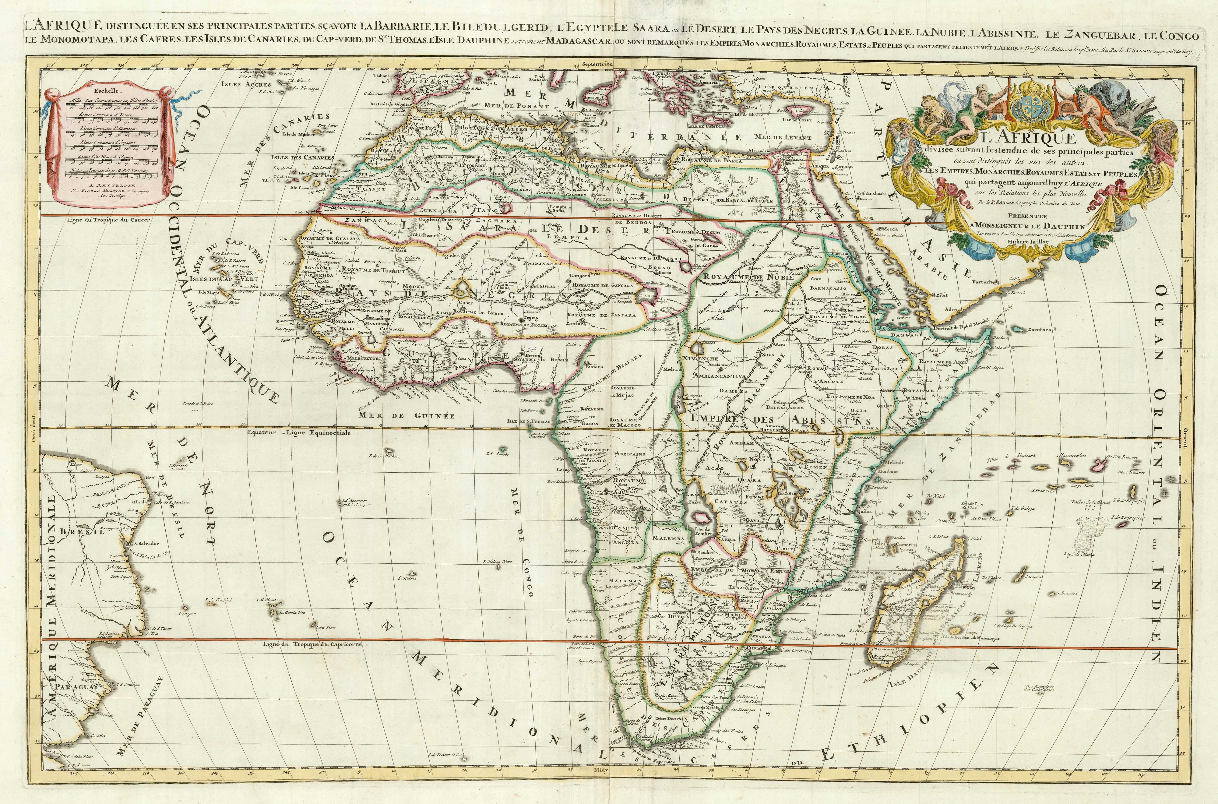
Two-sheet map of Africa
JAILLOT, Alexis-Hubert. Date: 1705 Stock #: 24063 £1,200.00
Add to Wishlist
Add to Wishlist
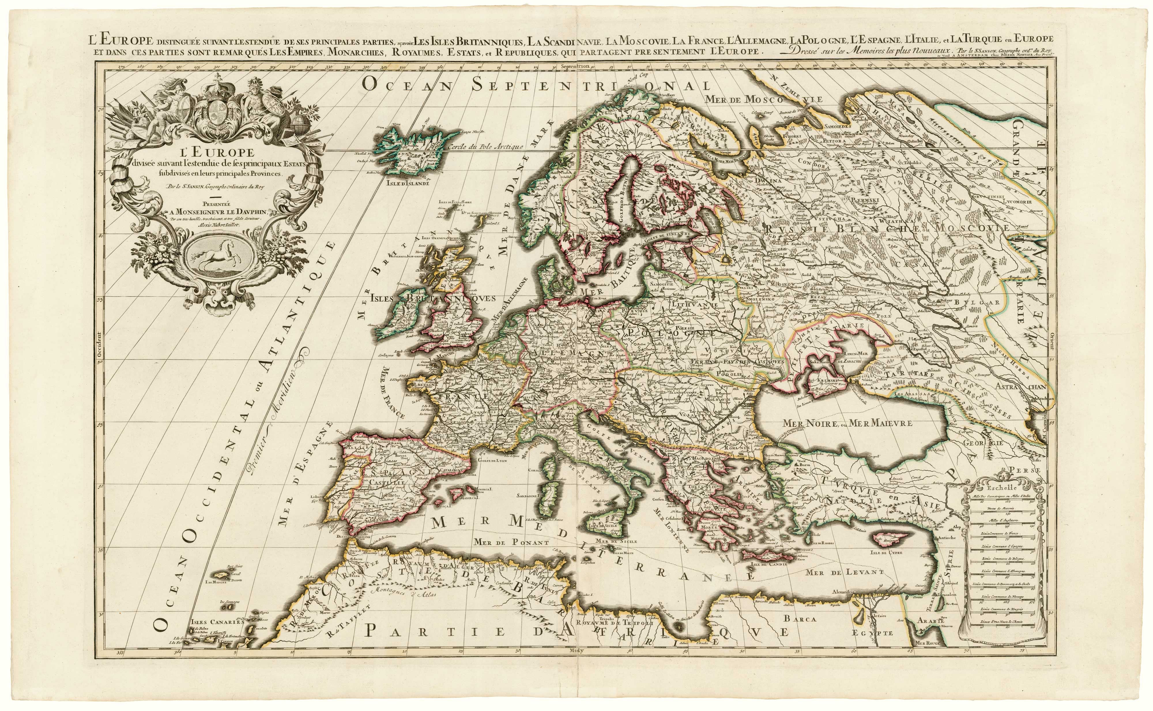
A two-sheet map of Europe
JAILLOT, Alexis-Hubert. Date: 1705 Stock #: 24059 £1,000.00
Add to Wishlist
Add to Wishlist
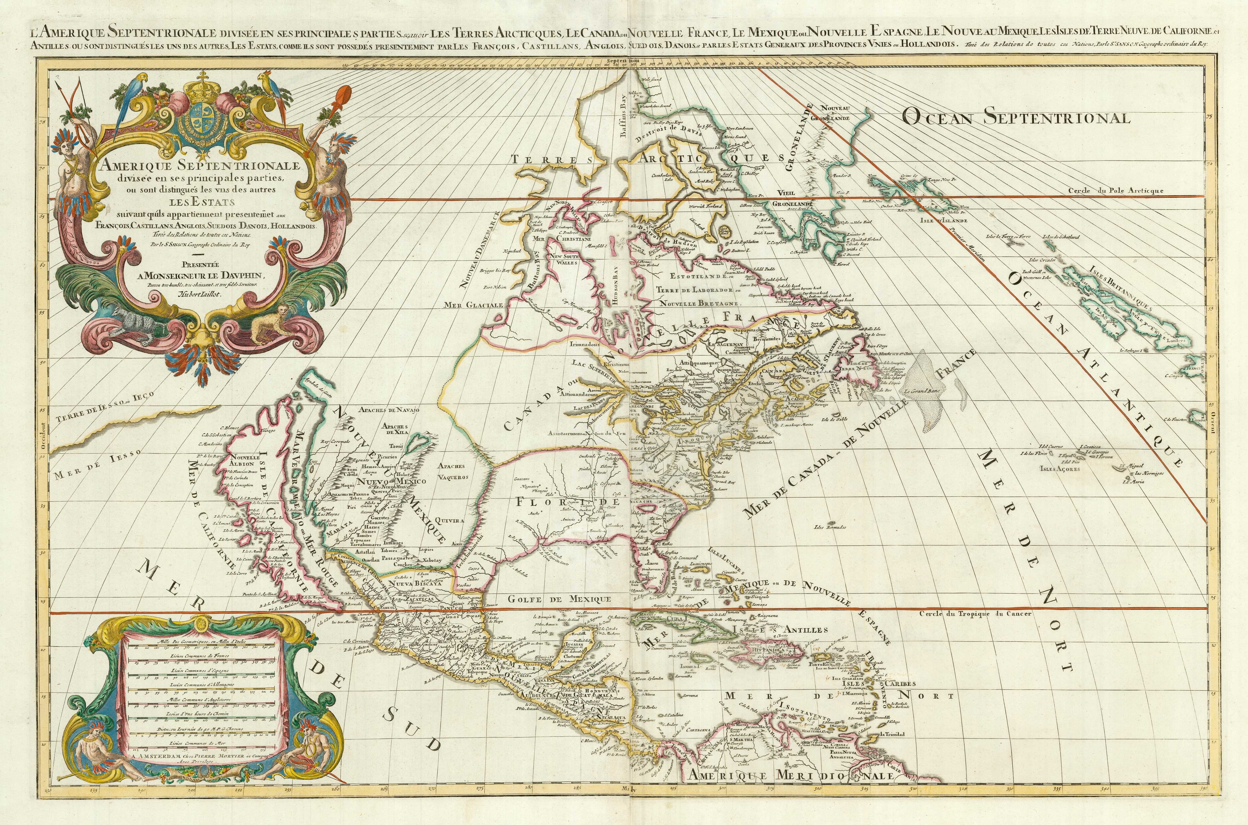
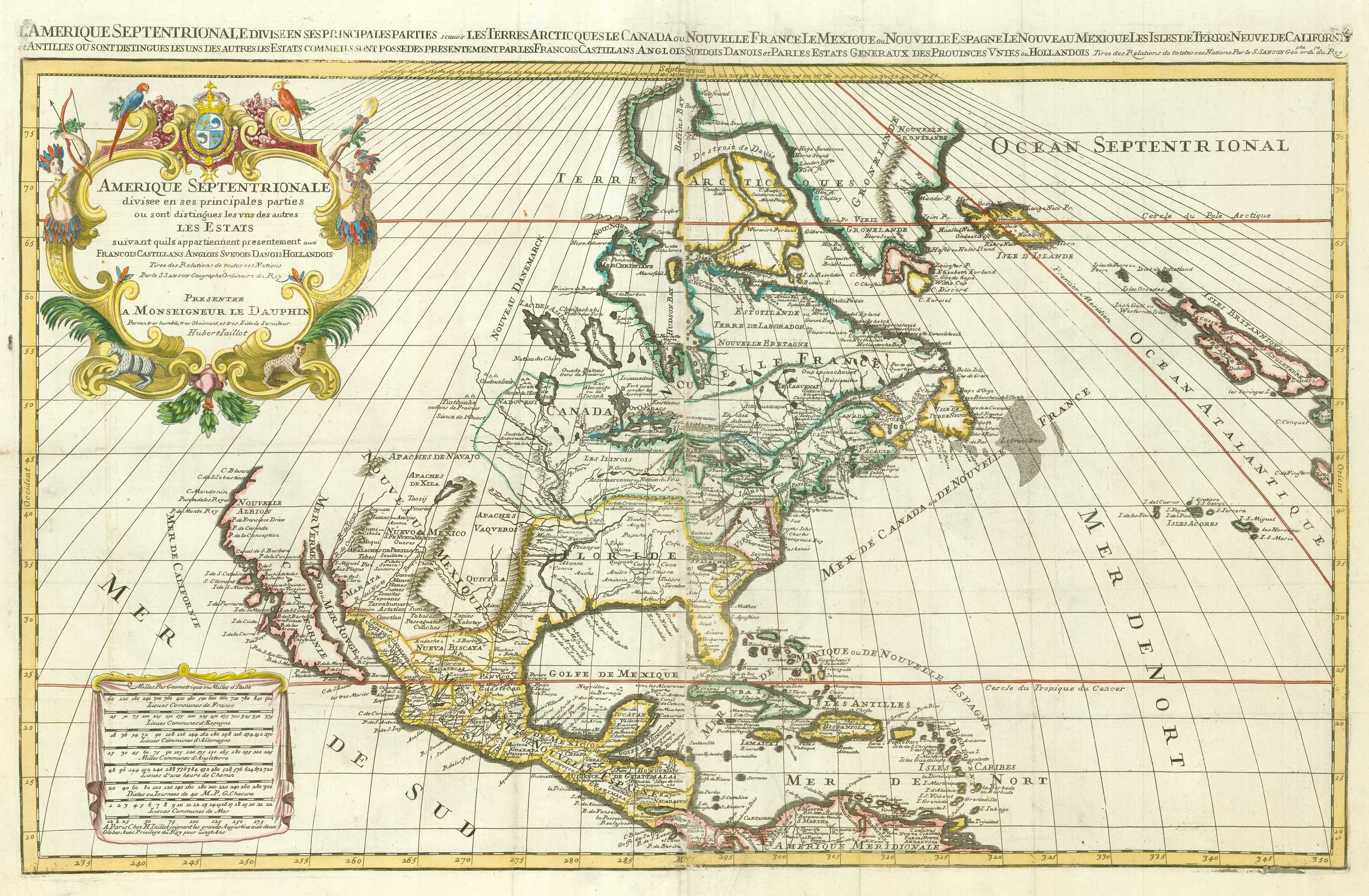
A two-sheet map of North America
JAILLOT, Alexis-Hubert. Date: 1705 Stock #: 24062 £2,950.00
Add to Wishlist
Add to Wishlist