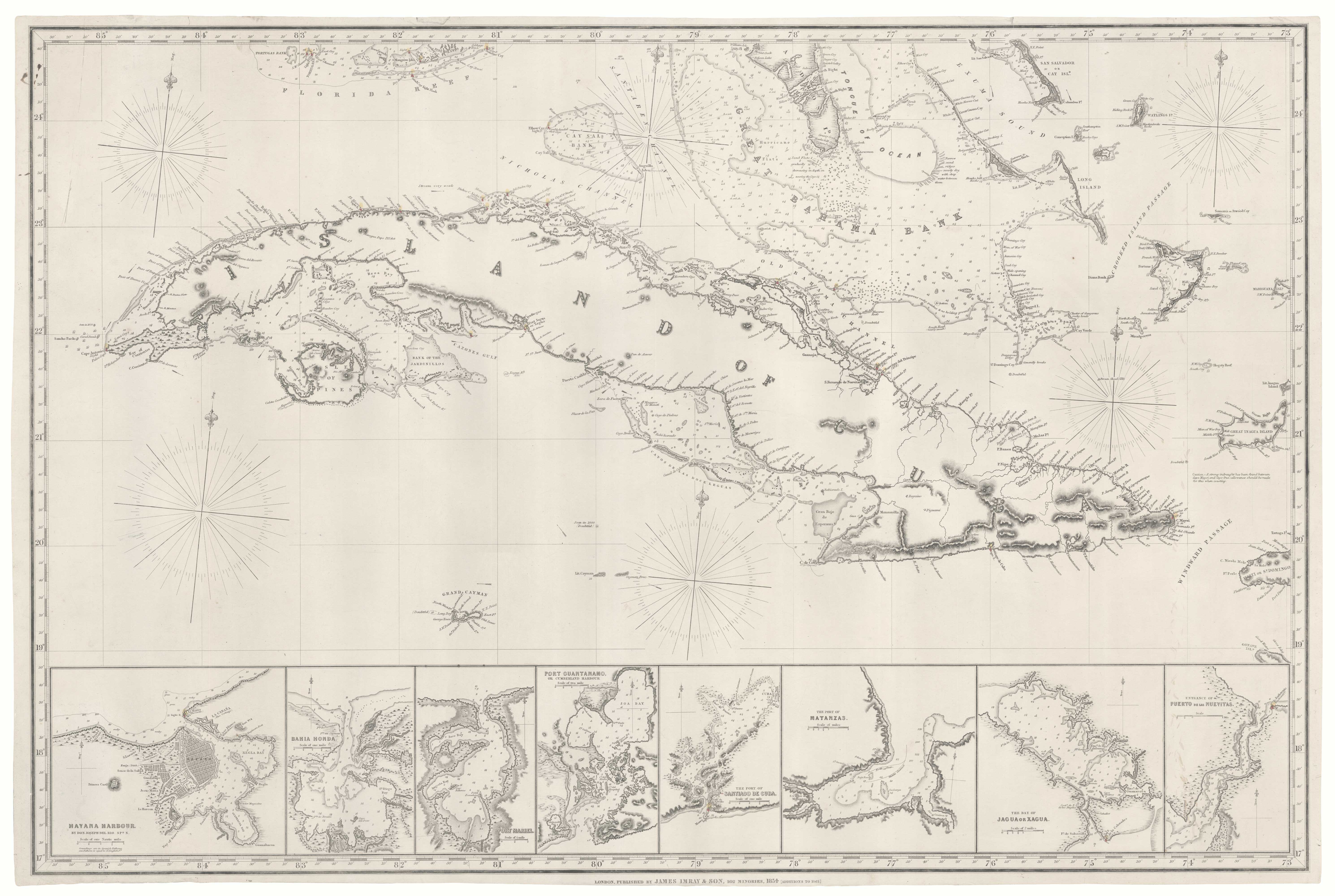
Blue-back chart of the West Coast of the USA
West Coast of North America from San Blas to San Francisco.
London, 1870. 1290 x 1020mm, on original blue backing paper,
£950.00
Description
A superb and very detailed blue back chart of the coast of California, with insets of Santa Barbara, Bodega Bay, Monterey, San Francisco Bay, South Farallon, San Diego Bay, Guaymas, Amortajada Bay, Pulpito, Ballena Bay, Mangles Road, Pichilique, Salinas Bay, Port San Blas, Tomales Bay, S. Jose Del Cabo, Mazatlan, S. Pedro Bay and Magdalena Bay. With rhumb lines and numerous soundings.
Condition:
Some tears repaired.Related products
-
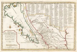
18th century French map of California as an Island
FER, Nicolas de. Date: 1700Stock #: 18883 £920.00 -

A rare playing card of California
Anonymous. Date: 1680Stock #: 25019 £500.00 -
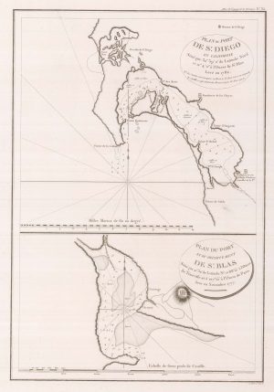
Early charts of San Diego and San Blas
LA PEROUSE, Jean-Francois de Galaup de. Date: 1797Stock #: 22412 £340.00 -
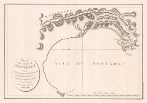
An early chart of Monterey Bay
LA PEROUSE, Jean-Francois de Galaup de. Date: 1797Stock #: 22414 £400.00 -

De Fer’s large-format map of the island of California
FER, Nicolas de. Date: 1720Stock #: 25088 £6,000.00
Items by the same author
Add to Wishlist
Add to Wishlist

Victorian blue-back chart of China and Vietnam
IMRAY, James. Date: 1793 Stock #: 22589 £1,100.00
Add to Wishlist
Add to Wishlist