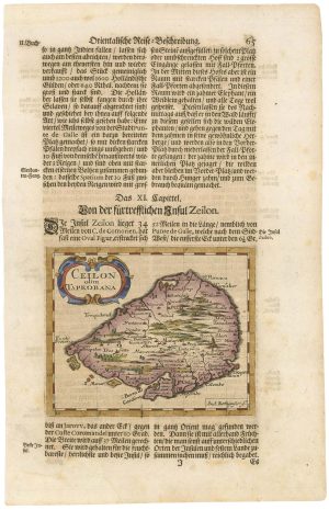
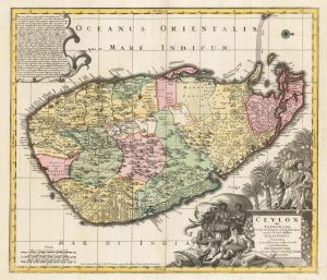
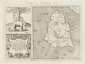
A 17th century map of Sri Lanka
Ins. Ceilan quae incolis Tenarisin dicatur.
Amsterdam: Henricus Hondius, 1628, French text edition. Coloured. 345 x 500mm.
£600.00
Description
An early map of Sri Lanka, orientated with north to the left, with strapwork cartouches for the title, dedication and scale. Other decorations include a compass rose, Dutch galleon, a mahout on an elephant, a deer and wild pig.
The map was engraved by Jodocus Hondius and first published in his 1606 edition of the Mercator atlas,
Condition:
A good example.References:
VAN DER KROGT: 1.114.Related products
-
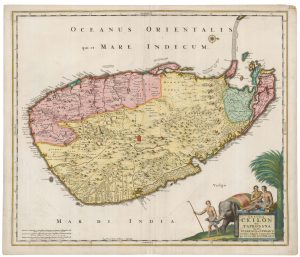
A fine example of this 17th century Dutch sea chart of Sri Lanka
KEULEN, Johannes van. Date: 1710Stock #: 21873 £2,200.00 -
An 17th century map of Sri Lanka
ROTHGIESSER, Andres Lorensen. Date: 1696Stock #: 21644 £240.00 -
A scarce map of Sri Lanka in full original colour.
DE RAM, Johannes. Date: 1730Stock #: 22572 £980.00 -
Eighteenth century map of Sri Lanka
TIRION, Isaak. Date: 1750Stock #: 22581 £300.00 -
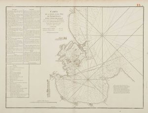
18th century chart of Trincomalee
APRÈS DE MANNEVILLETTE, Jean Baptiste d'. Date: 1775Stock #: 17489 £600.00 -
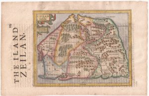
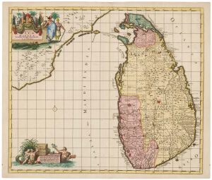
Sri Lanka from the first English Edition of the ‘Atlas Minor’
HONDIUS, Jodocus. Date: 1635Stock #: 22398 £220.00 -
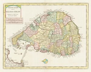
18th century map of Sri Lanka in fine original colour
SEUTTER, Matthaus. Date: 1730Stock #: 22407 £980.00 -
16th century map of Taprobana
MAGINI, Giovanni Antonio. Date: 1596Stock #: 18783 £250.00 -
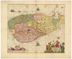
A large and colourful map of Sri Lanka
VISSCHER, Nicolas. Date: 1680Stock #: 22571 £1,000.00
Items by the same author
Add to Wishlist
Add to Wishlist
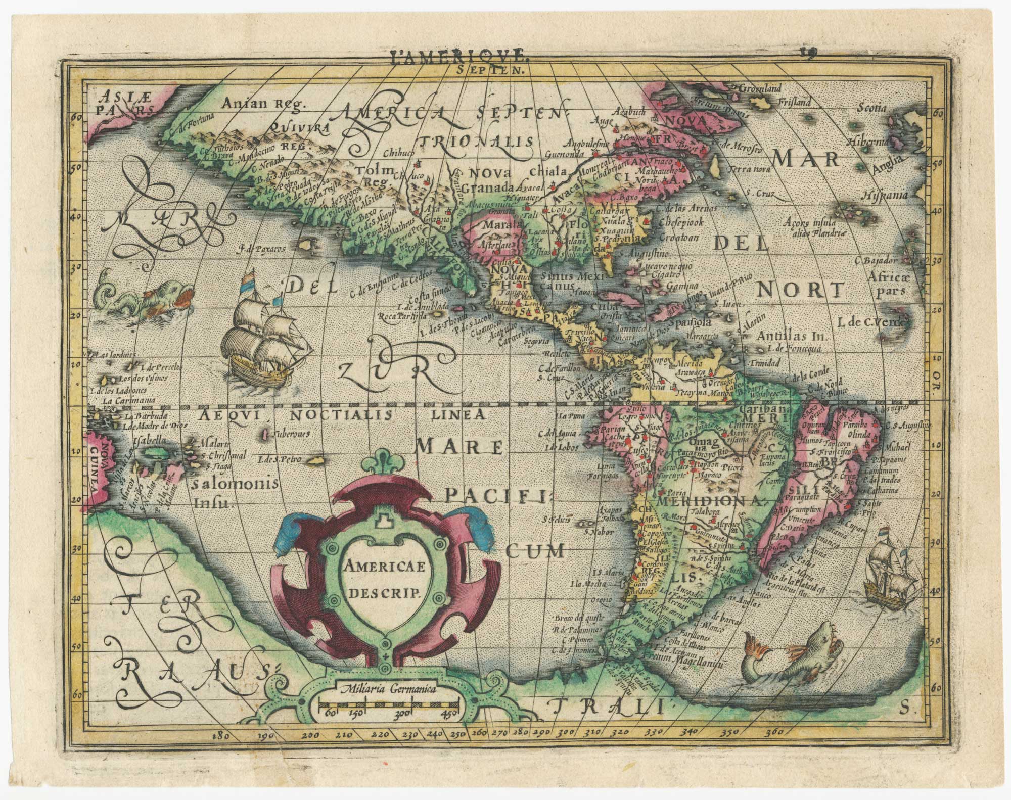
Early 17th century miniature map of America
HONDIUS, Jodocus. Date: 1610 Stock #: 25064 £750.00
Add to Wishlist
Add to Wishlist
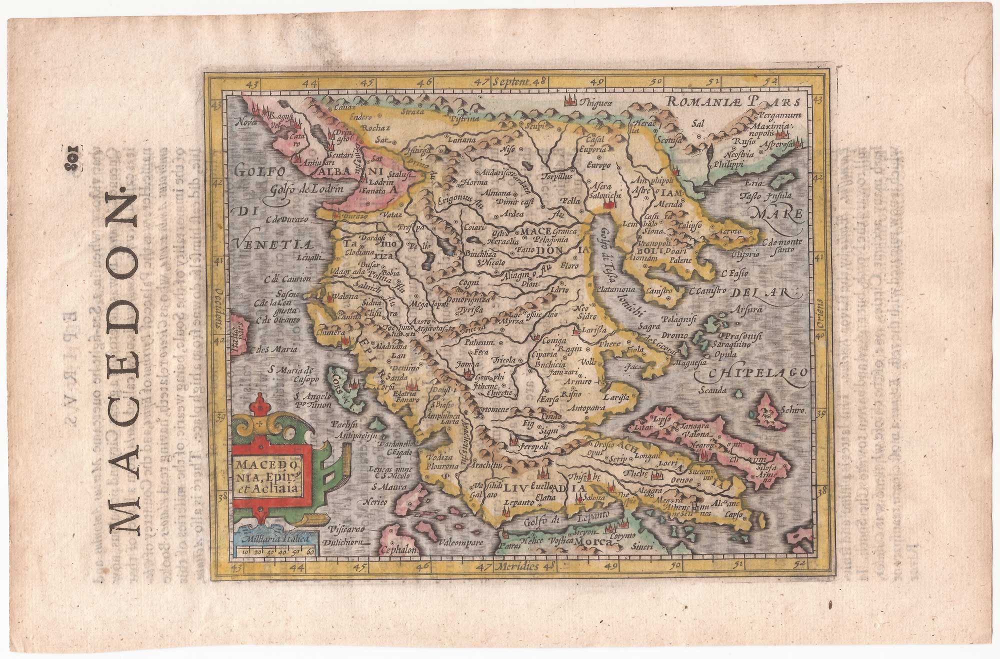
Northern Greece from the first English Edition of the 'Atlas Minor'
HONDIUS, Jodocus. Date: 1635 Stock #: 22452 £110.00
Add to Wishlist
Add to Wishlist
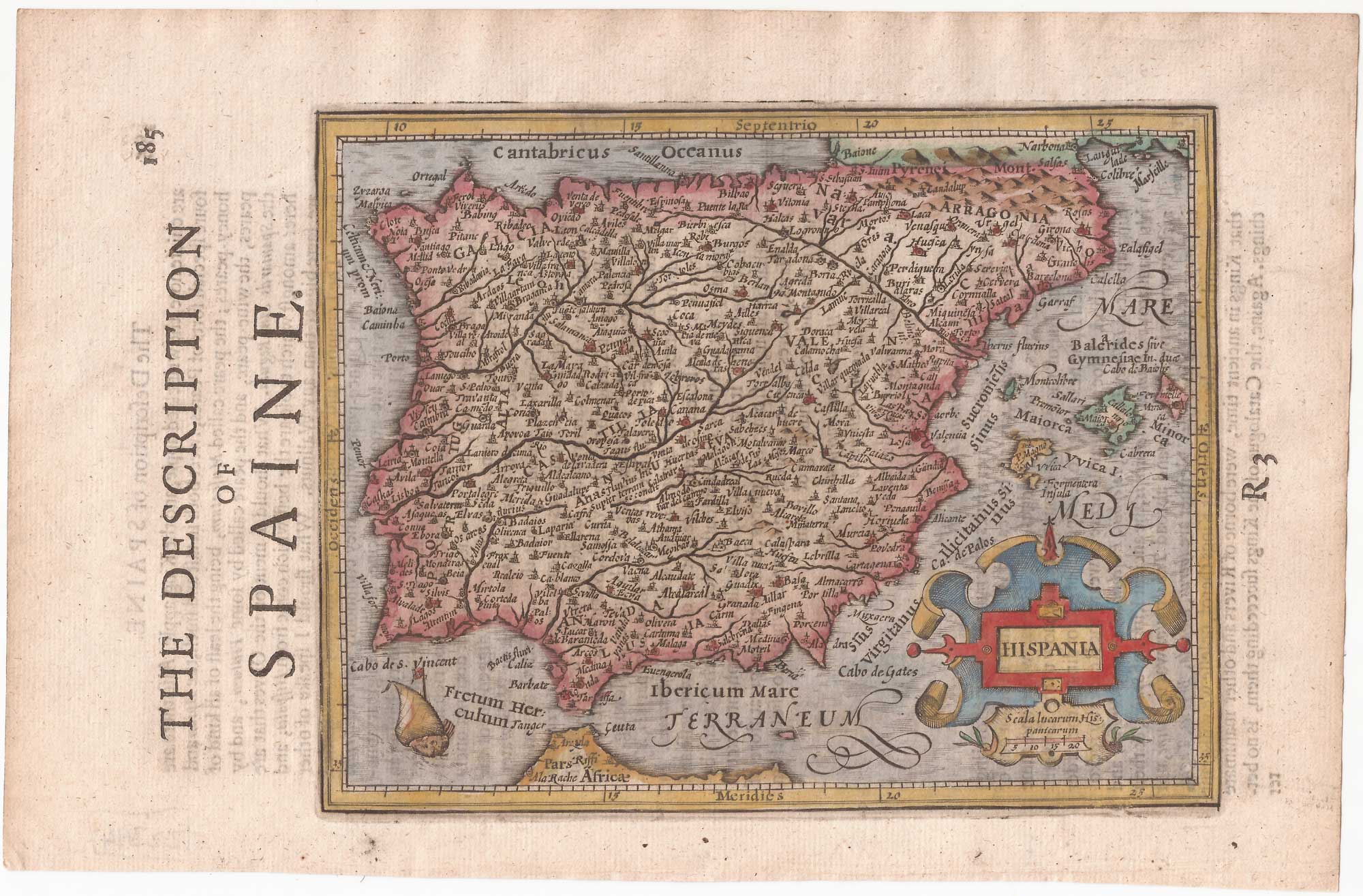
Spain from the first English Edition of the 'Atlas Minor'
HONDIUS, Jodocus. Date: 1635 Stock #: 22394 £240.00
Add to Wishlist
Add to Wishlist
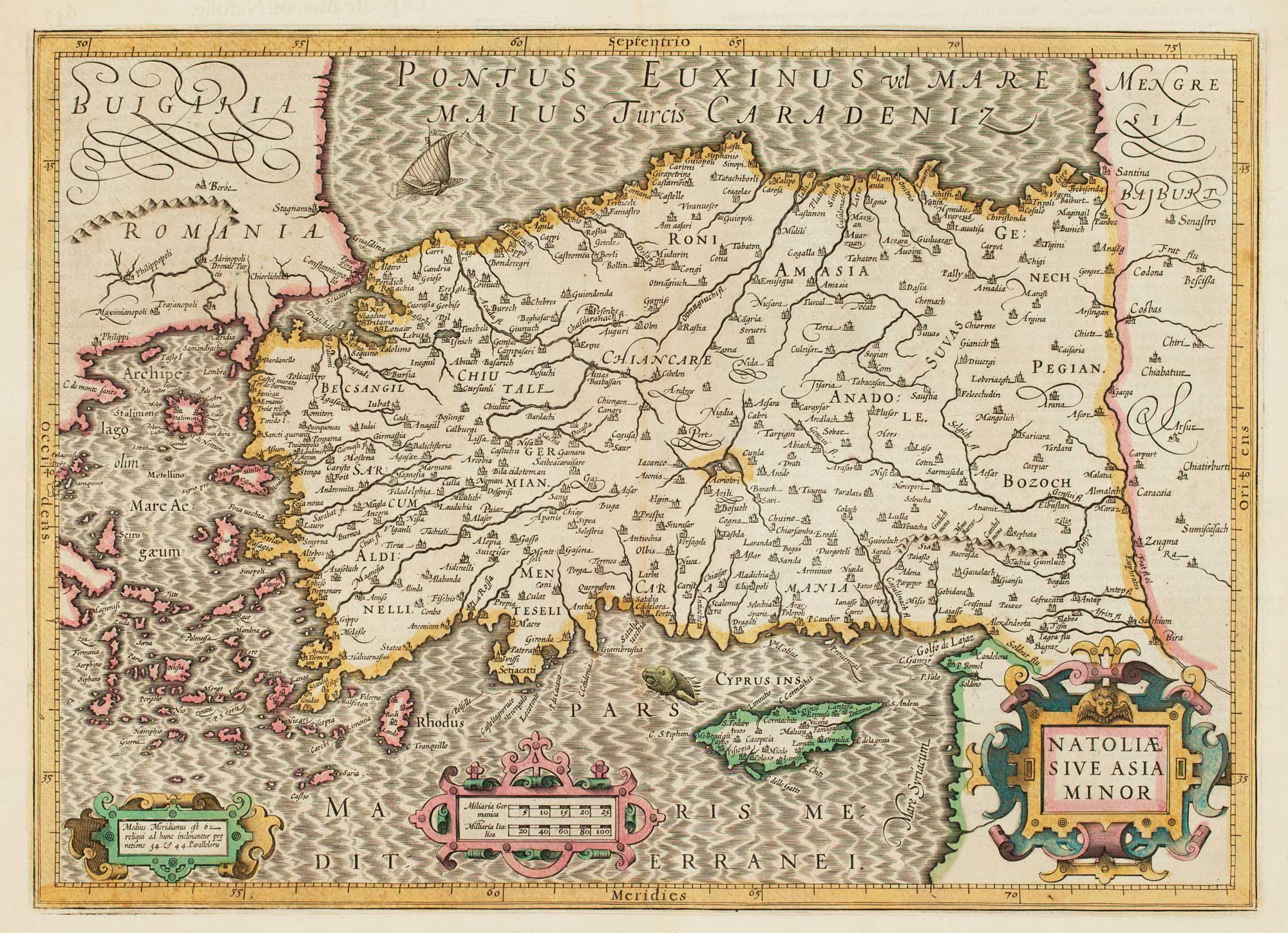
17th century map of Turkey with Cyprus
HONDIUS, Jodocus. Date: 1628 Stock #: 16468 £550.00
Add to Wishlist
Add to Wishlist
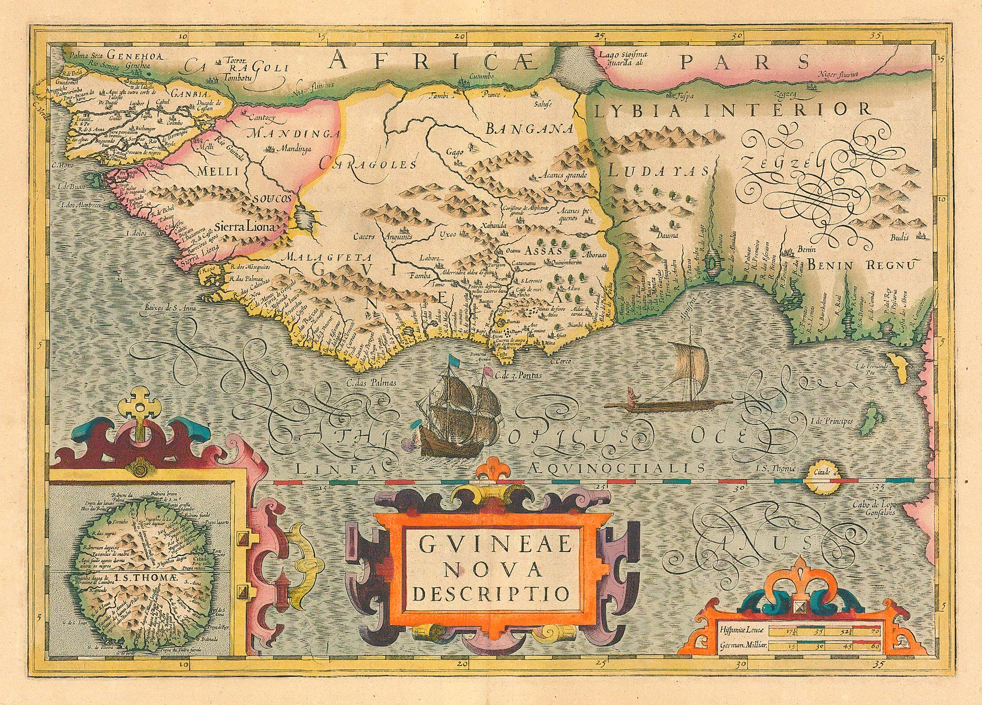
Early 17th century map of the Guinea coast.
HONDIUS, Jodocus. Date: 1636 Stock #: 24809 £450.00
Add to Wishlist
Add to Wishlist