


A 17th century map of the Duchy of Holstein
Ducatus Holsatiae Nova Tabula.
Amsterdam, c.1632, blank verso. Original colour. 385 x 510mm.
£450.00
1 in stock
x
Question About This Item?
A 17th century map of the Duchy of Holstein & HONDIUS, Henricus.Stock #: 25099
Add to Wishlist
Export as PDFEnquireSimilar to Sell?Add to Wishlist
Description
A map of the Duchy of Holstein as part of the Holy Roman Empire, when the dukes were also kings of Denmark.
The blank verso suggests this example was published in the 'Theatrum Imperii Germanici' rather than a Mercator atlas,
Condition:
A good exampleRelated products
-
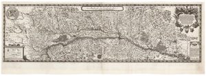
A scarce two-sheet map of Alsace
SANDRART, Jacob von. Date: 1702Stock #: 21118 £1,300.00 -
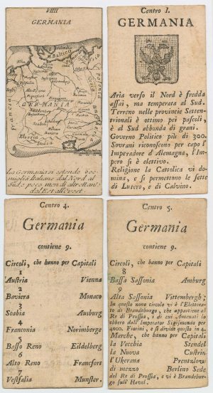
Four scarce Italian playing cards depicting Germany
Anonymous. Date: 1790Stock #: 24244 £280.00 -
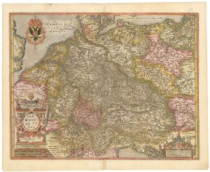
A map of Germany compiled by Frans Hogenberg in fine colour
ORTELIUS, Abraham. Date: 1603Stock #: 23805 £650.00 -
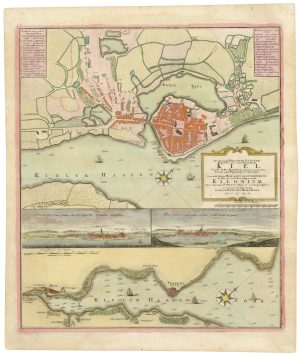
A 18th century plan of Kiel
HOMANN HEIRS. Date: 1735Stock #: 25100 £600.00 -
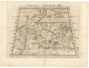
Ruscelli’s map of Germany according to Ptolemy, First State
RUSCELLI, Girolamo. Date: 1557Stock #: 22241 £220.00 -
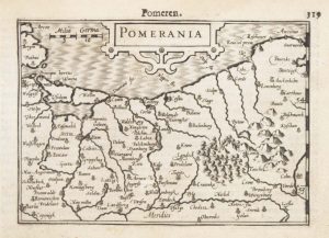
A 16th century miniature map of Pomerania
LANGENES, Barent. Date: 1599Stock #: 21175 £65.00 -
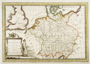
18th century map of Germany
CASSINI, Giovanni Maria. Date: 1795Stock #: 7787 £190.00 -
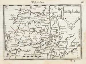
A 16th century miniature map of Westphalia
LANGENES, Barent. Date: 1599Stock #: 21168 £50.00 -
The Rhine theatre of the War of the Polish Succession
OETTINGER, Johann Friedrich. Date: 1734Stock #: 20887 £700.00
Items by the same author
Add to Wishlist
Add to Wishlist
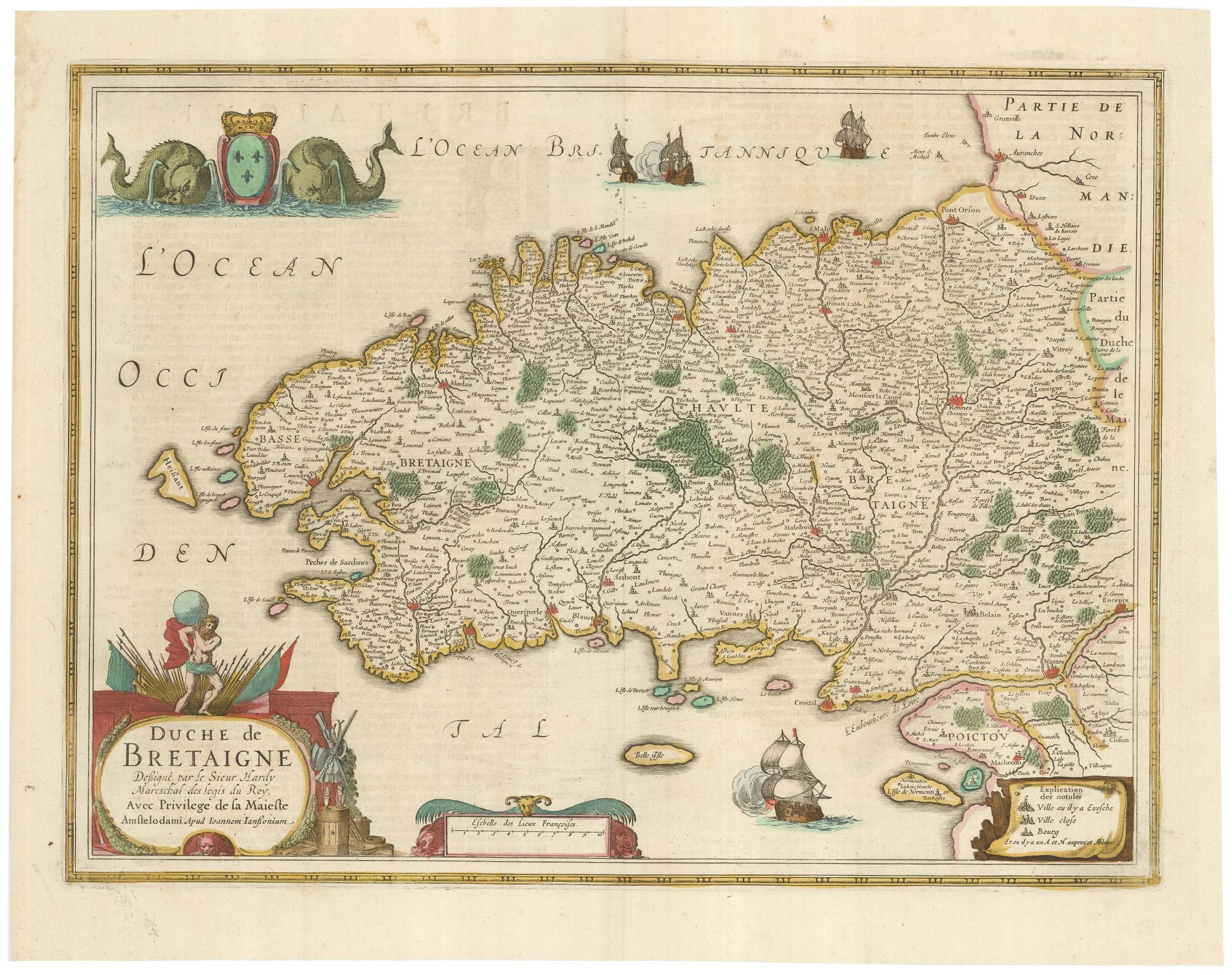
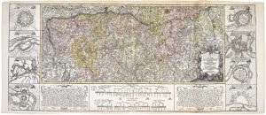
A detailed 17th century map of Brittany
HONDIUS, Henricus. Date: 1650 Stock #: 23384 £500.00
Add to Wishlist
Add to Wishlist
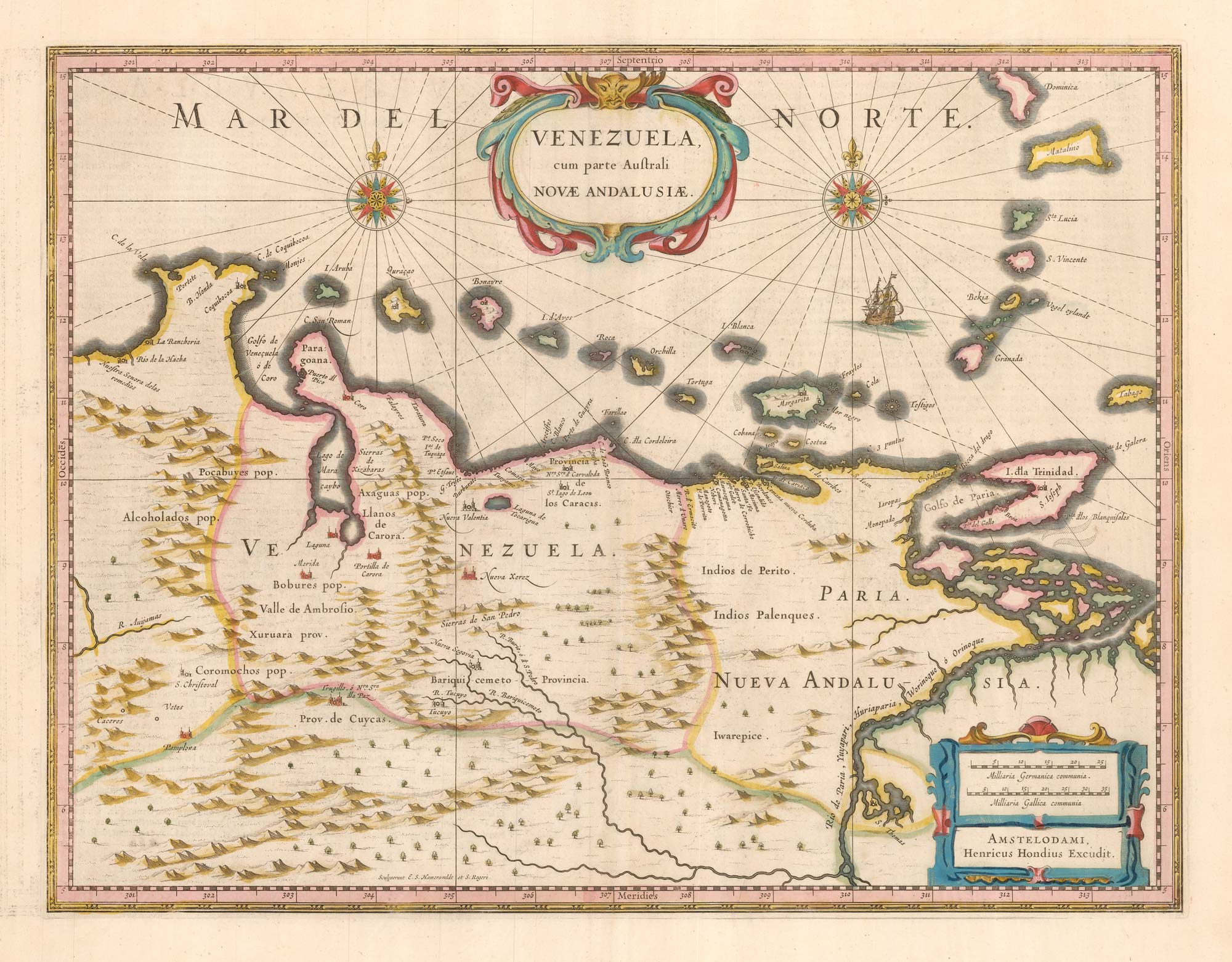
A 17th century map of Venezuela
HONDIUS, Henricus. Date: 1642 Stock #: 25303 £650.00
Add to Wishlist
Add to Wishlist
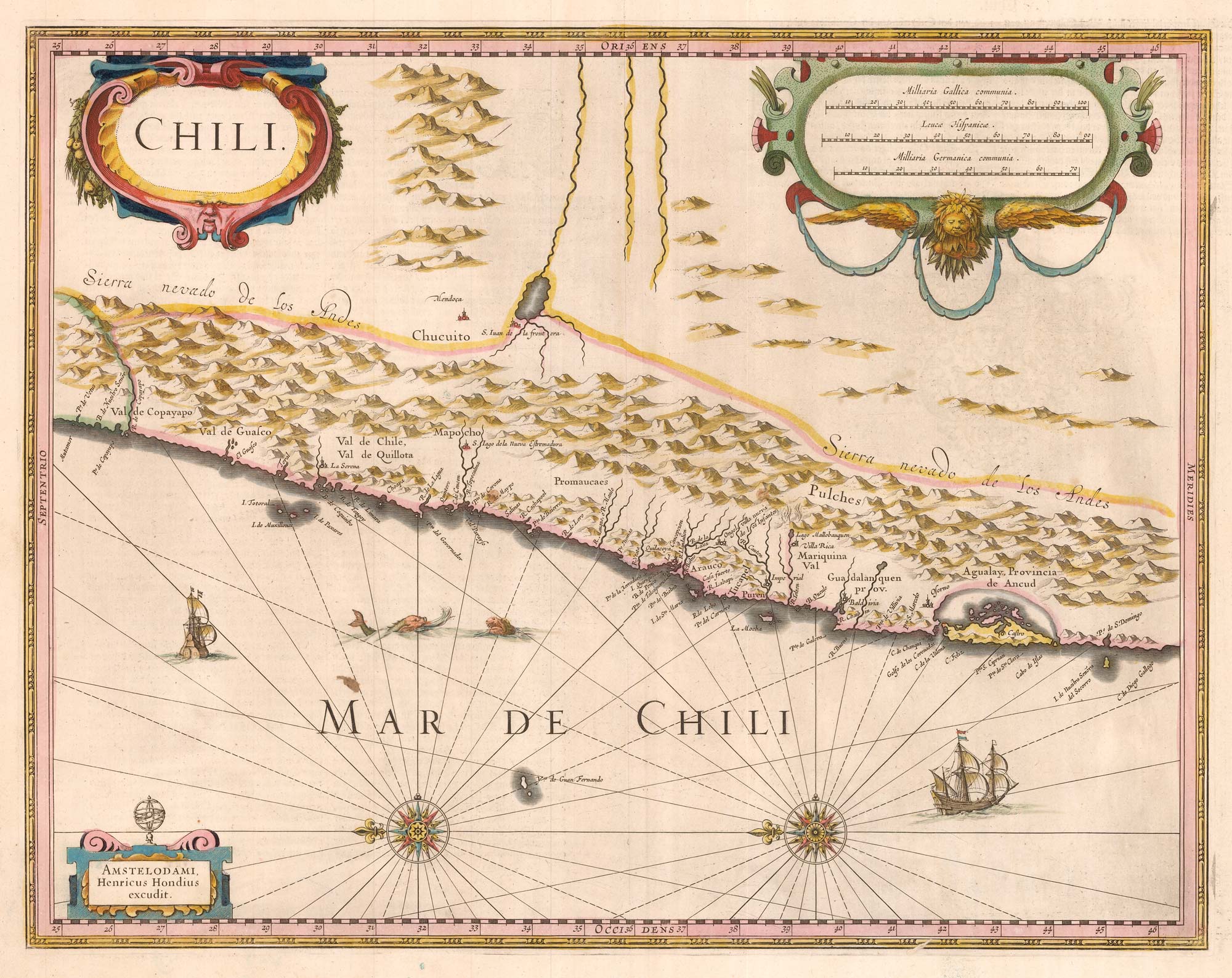
17th century Dutch map of Chile
HONDIUS, Henricus. Date: 1633 Stock #: 25299 £475.00
Add to Wishlist
Add to Wishlist
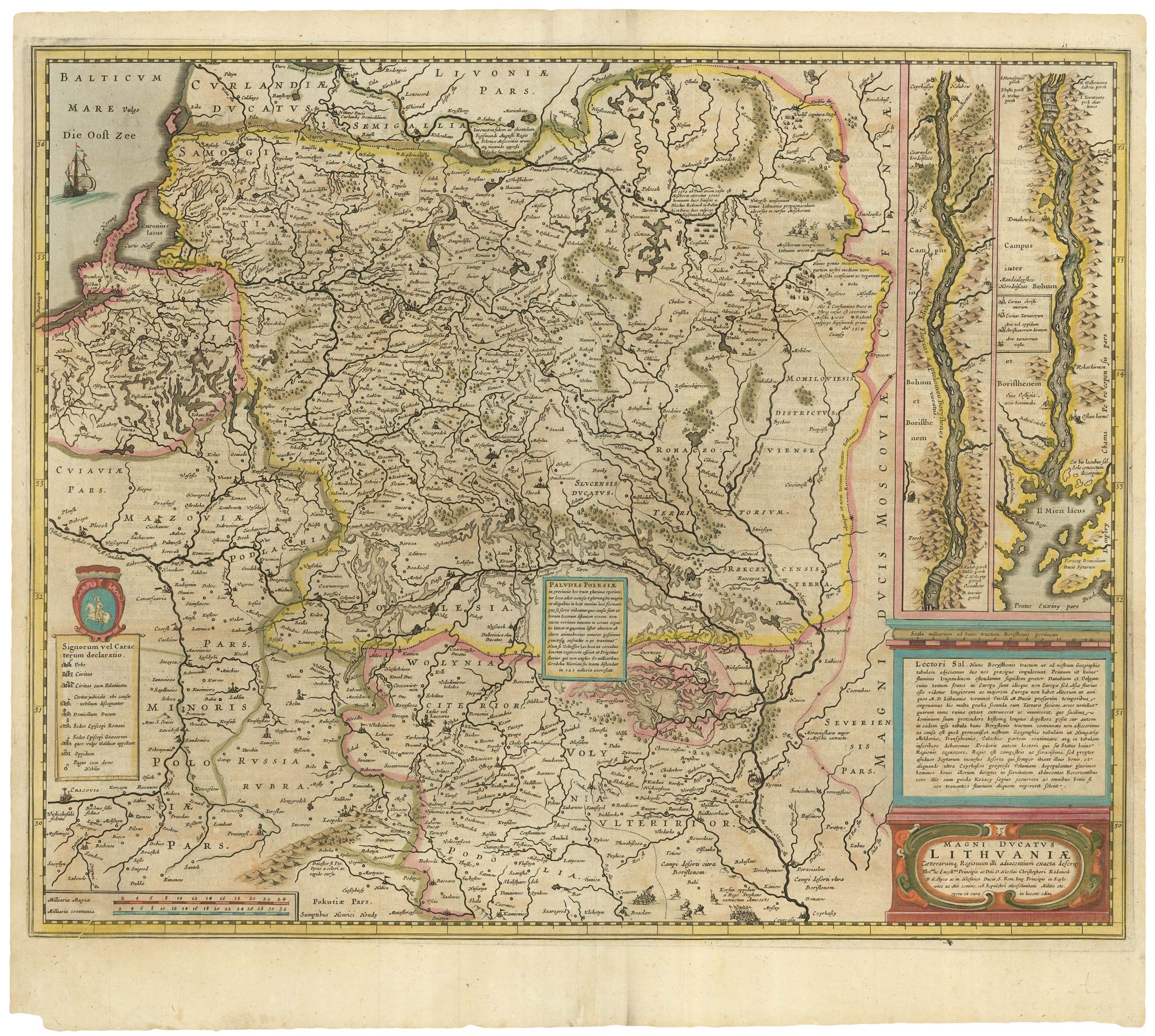
An early example of this 17th century map of Lithuania
HONDIUS, Henricus. Date: 1638 Stock #: 25254 £1,300.00
Add to Wishlist
Add to Wishlist

The Holy Land after Adrichom in fine original colour
HONDIUS, Henricus. Date: 1717 Stock #: 24920 £1,000.00
Add to Wishlist
Add to Wishlist
