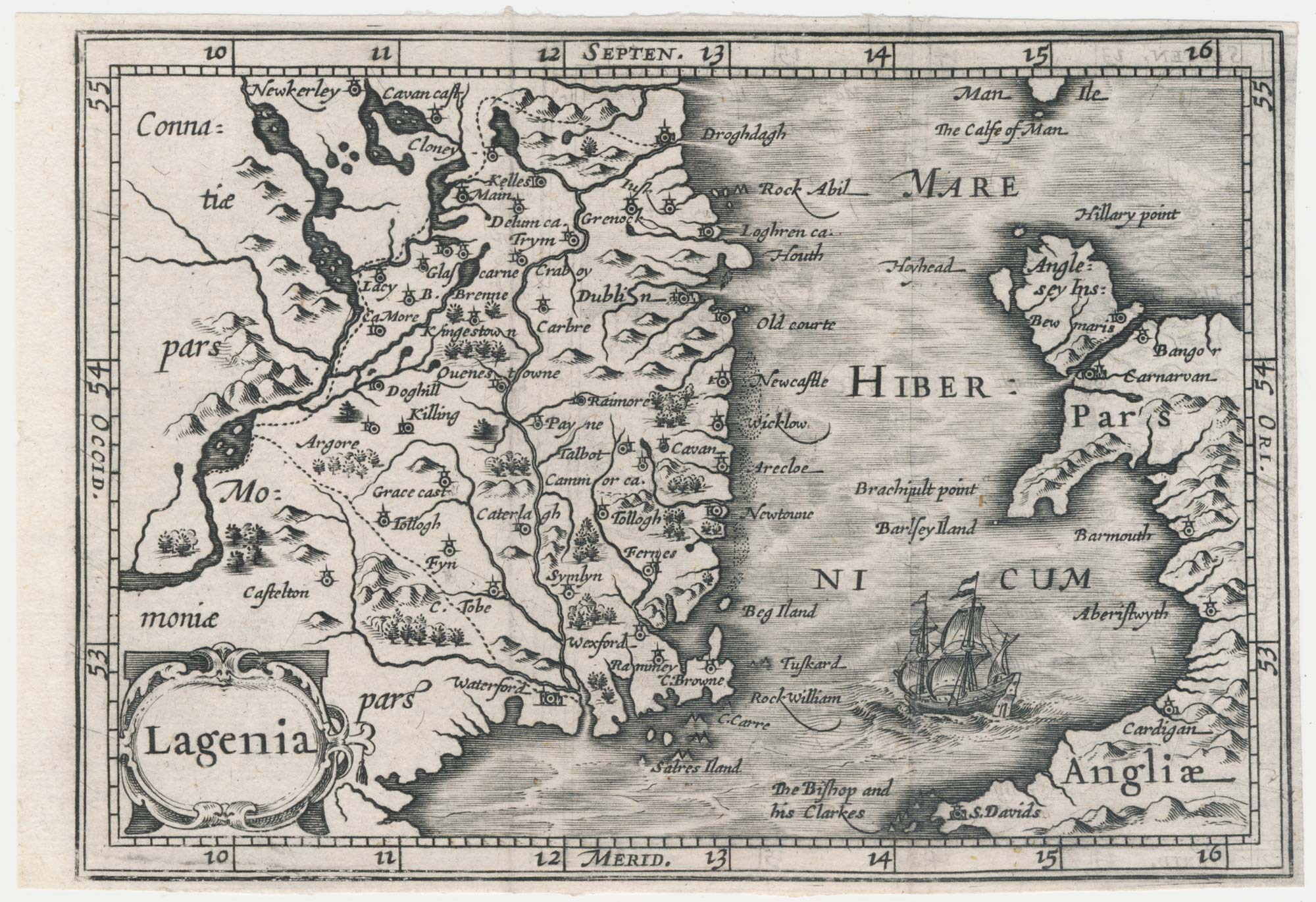
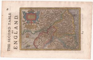
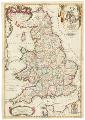
A miniature map of North West England and Wales
Westmorlad: Lancastria etc.
Amsterdam: Willem Blaeu, 1639. 100 x 135mm.
£80.00
1 in stock
x
Question About This Item?
A miniature map of North West England and Wales & HONDIUS, Jodocus II.Stock #: 22148
Add to Wishlist
Export as PDFEnquireSimilar to Sell?Add to Wishlist
Description
A reduced version of Mercator's map of north west England northern Wales, issued as one of five regions of England and Wales, with parts of Cumberland, Westmorland, Lancashire, Cheshire and Shropshire. It was engraved for a new edition of the Bertius 'Tabularum geographicarum contractarum' published by Hondius in 1616, which King describes as 'the finest set of miniature maps ever printed'. This example was issued in a Dutch pocket edition of 'Camden's Britannia'.
Hondius (c.1594-1629) was the son of the Jodocus Hondius who engraved the John Speed county maps. He left the family business to set up on his own c.1621; after his early death many of his copper plates were sold to the rival Blaeu firm.
Condition:
Trimmed close to printed border on three sides.References:
KING: Miniature Antique Maps, p. 96-99.Related products
-
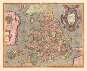
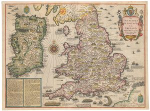
The rarest Ortelius atlas map of England and Wales
ORTELIUS, Abraham. Date: 1603Stock #: 25643 £2,000.00 -
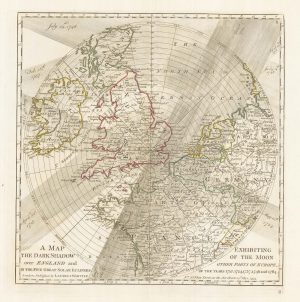
A plan of eclipses over England in the 18th century
DUNN, Samuel. Date: 1797Stock #: 22159 £350.00 -
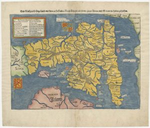
An early woodcut map of England
MUNSTER, Sebastian. Date: 1546Stock #: 25504 £1,000.00 -
Speed’s map of the wars of England
SPEED, John. Date: 1665Stock #: 23791 £1,800.00 -
Northern England from the first English Edition of the ‘Atlas Minor’
HONDIUS, Jodocus. Date: 1635Stock #: 22444 £100.00 -
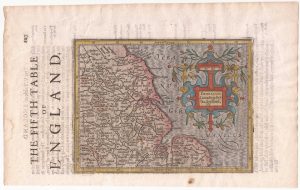
North East England from the first English Edition of the ‘Atlas Minor’
HONDIUS, Jodocus. Date: 1635Stock #: 22447 £110.00 -

A decorative wall map of England & Wales with panelled borders
SEATON, Robert. Date: 1835Stock #: 25898 -
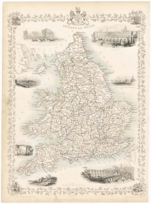
Map of England and Wales with vignettes
TALLIS, John. Date: 1851Stock #: 23491 £180.00 -
An 17th century two-sheet map of England and Wales
CORONELLI, Vincenzo Maria. Date: 1691Stock #: 21517 £750.00
Items by the same author
Add to Wishlist
Add to Wishlist
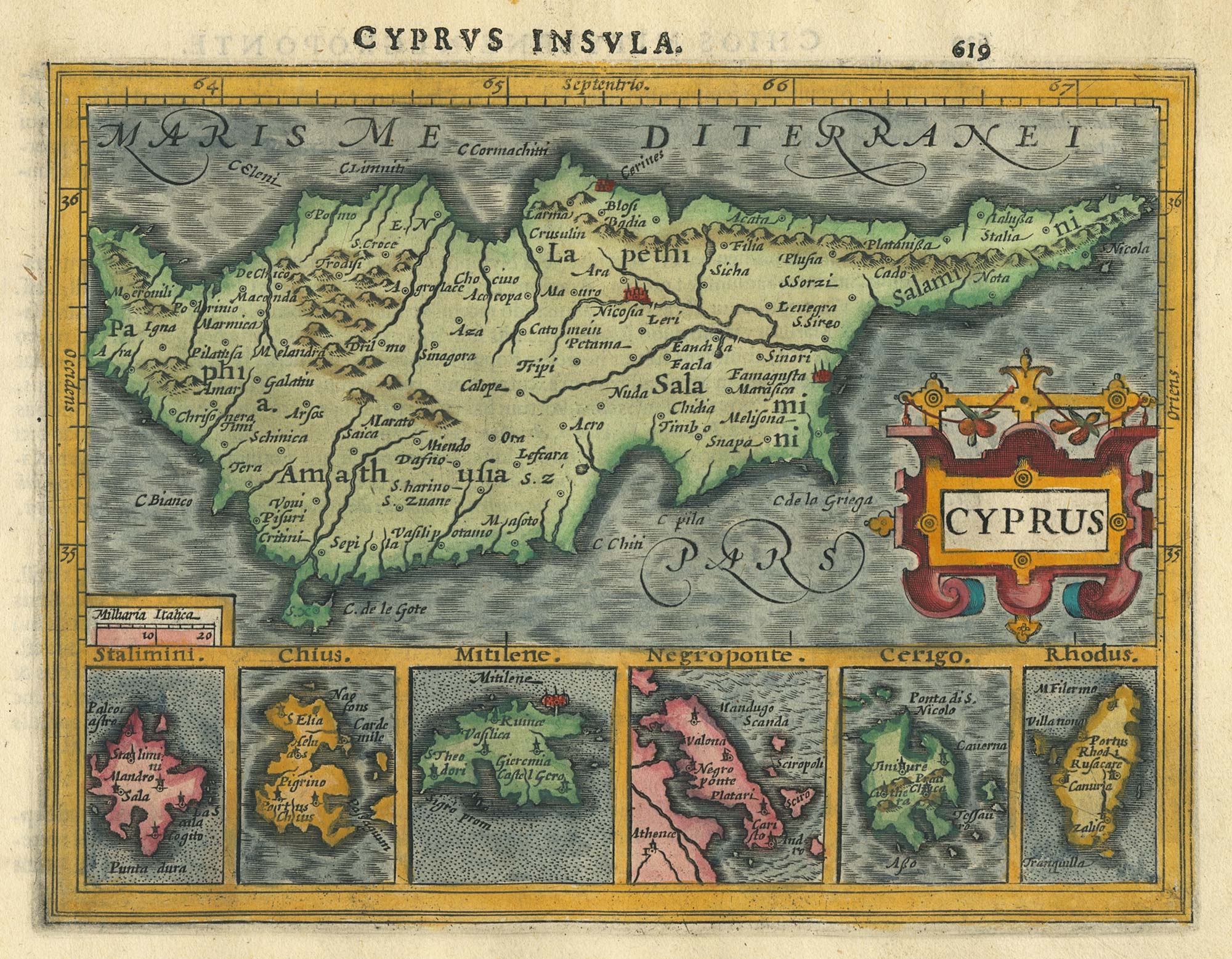
Miniature map of Cyprus and the islands of the Aegean
HONDIUS, Jodocus II. Date: 1610 Stock #: 24510 £350.00
Add to Wishlist
Add to Wishlist

A 17th century map of Austria
HONDIUS, Jodocus II. Date: 1635 Stock #: 23746 £350.00
Add to Wishlist
Add to Wishlist
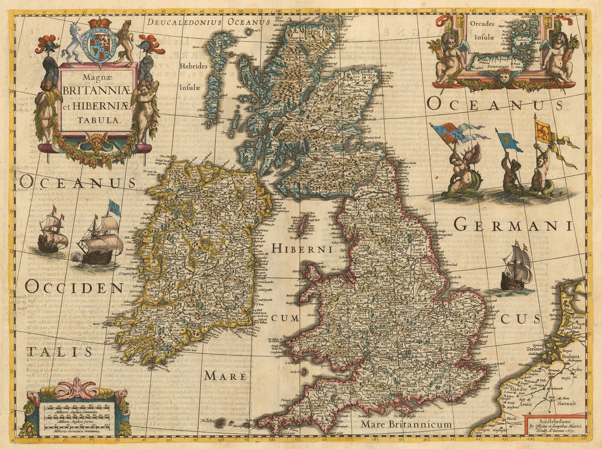
The first atlas issue of the Jodocus Hondius map of the British Isles
HONDIUS, Jodocus II. Date: 1633 Stock #: 23008 £1,100.00
Add to Wishlist
Add to Wishlist
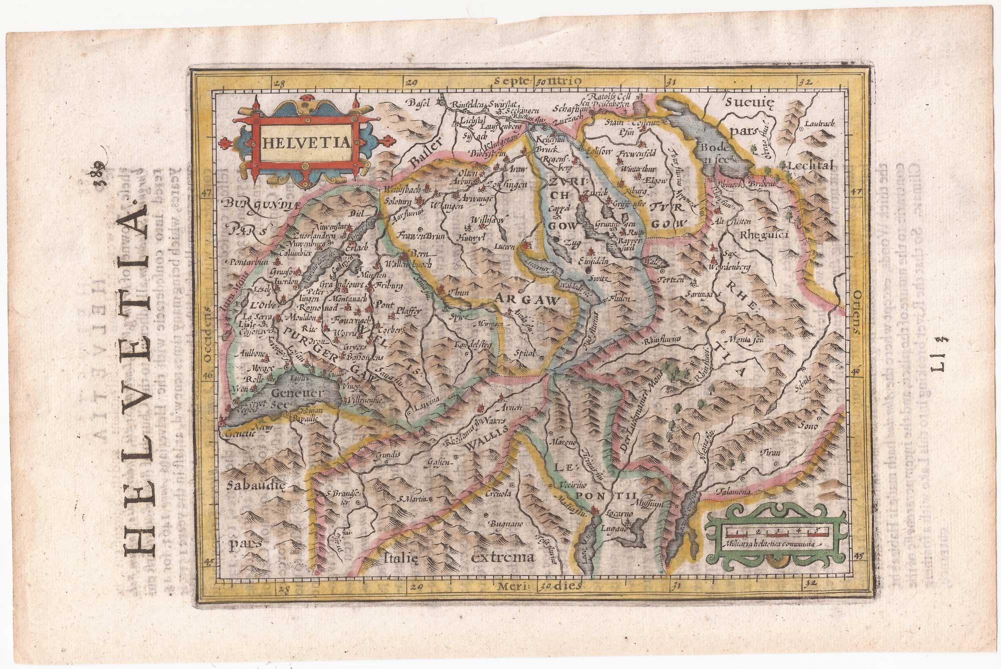
Switzerland from the first English Edition of the 'Atlas Minor'
HONDIUS, Jodocus II. Date: 1635 Stock #: 22440 £180.00
Add to Wishlist
Add to Wishlist
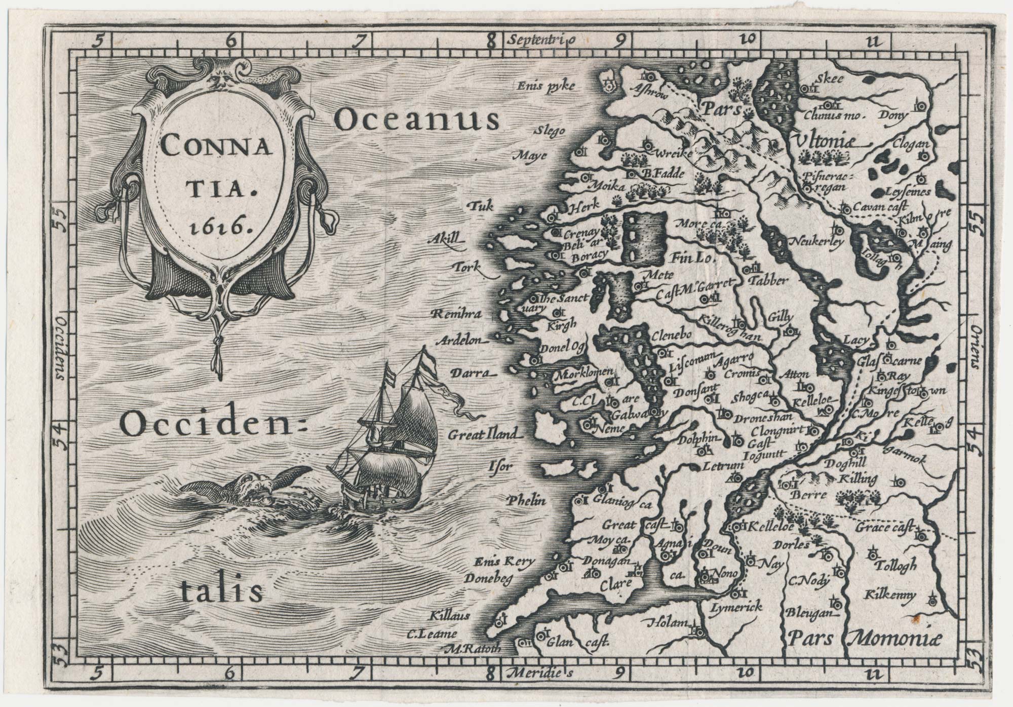
A scarce miniature map of Connaught
HONDIUS, Jodocus II. Date: 1807 Stock #: 22142 £160.00
Add to Wishlist
Add to Wishlist