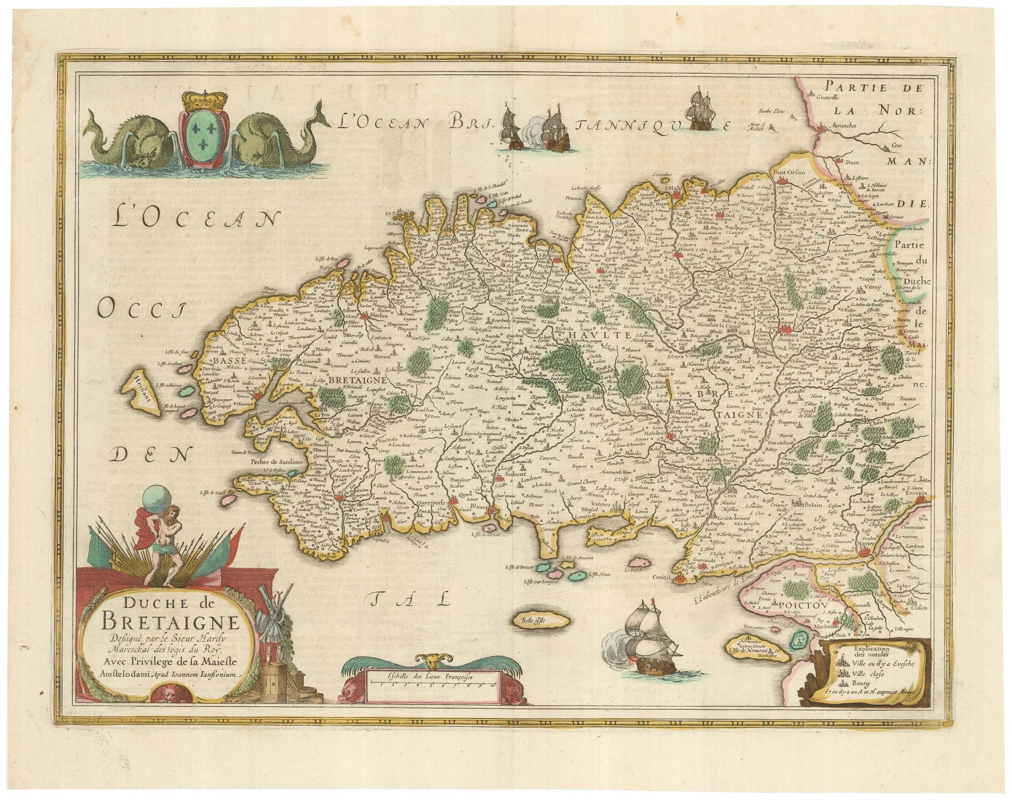


A detailed 17th century map of Brittany
Duche de Bretaigne Dessigné par le Sieur Hardy Mareschal des logis du Roy. Avec Privilege de sa Majesty.
Amsterdam: Jan Jansson, c.1650, Dutch text edition. Original colour. 380 x 510mm.
£500.00
1 in stock
x
Question About This Item?
A detailed 17th century map of Brittany & HONDIUS, Henricus.Stock #: 23384
Add to Wishlist
Export as PDFEnquireSimilar to Sell?Add to Wishlist
Description
A map of Brittany after the Sieur Claude Hardy, decorated with an armorial flanked by twin-spouted dolphins, and vignette galleons firing their guns.
Condition:
A good example.Related products
-
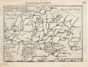
A 16th century miniature map of Lorraine
LANGENES, Barent. Date: 1599Stock #: 21149 £50.00 -
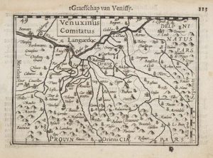
A 16th century miniature map of the Comtat Venaissin
LANGENES, Barent. Date: 1599Stock #: 21137 £55.00 -
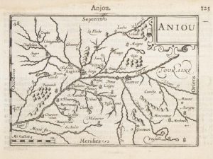
A 16th century miniature map of Anjou
LANGENES, Barent. Date: 1599Stock #: 21142 £55.00 -
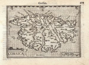
A 16th century miniature map of Corsica
LANGENES, Barent. Date: 1599Stock #: 21311 £280.00 -
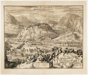
A fine prospect of the Savoyard fortress of Montmélian
HOOGHE, Romeyn de. Date: 1697Stock #: 14678 £700.00 -
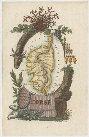
Miniature map of Corsica
PERROT, Aristide Michel. Date: 1824Stock #: 24457 £180.00 -
A 16th century miniature map of Narbonne
LANGENES, Barent. Date: 1599Stock #: 21138 £60.00 -
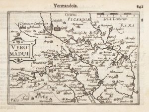
A 16th century miniature map of Vermandois
LANGENES, Barent. Date: 1599Stock #: 21146 £50.00 -
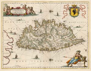
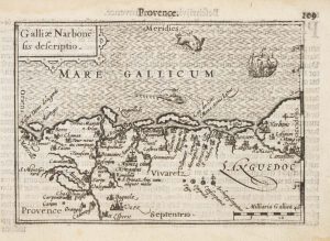
A decorative 17th century map of Corsica
JANSSON, Jan. Date: 1650Stock #: 23619 £1,100.00
Items by the same author
Add to Wishlist
Add to Wishlist

A 17th century map of the Duchy of Holstein
HONDIUS, Henricus. Date: 1632 Stock #: 25099 £450.00
Add to Wishlist
Add to Wishlist
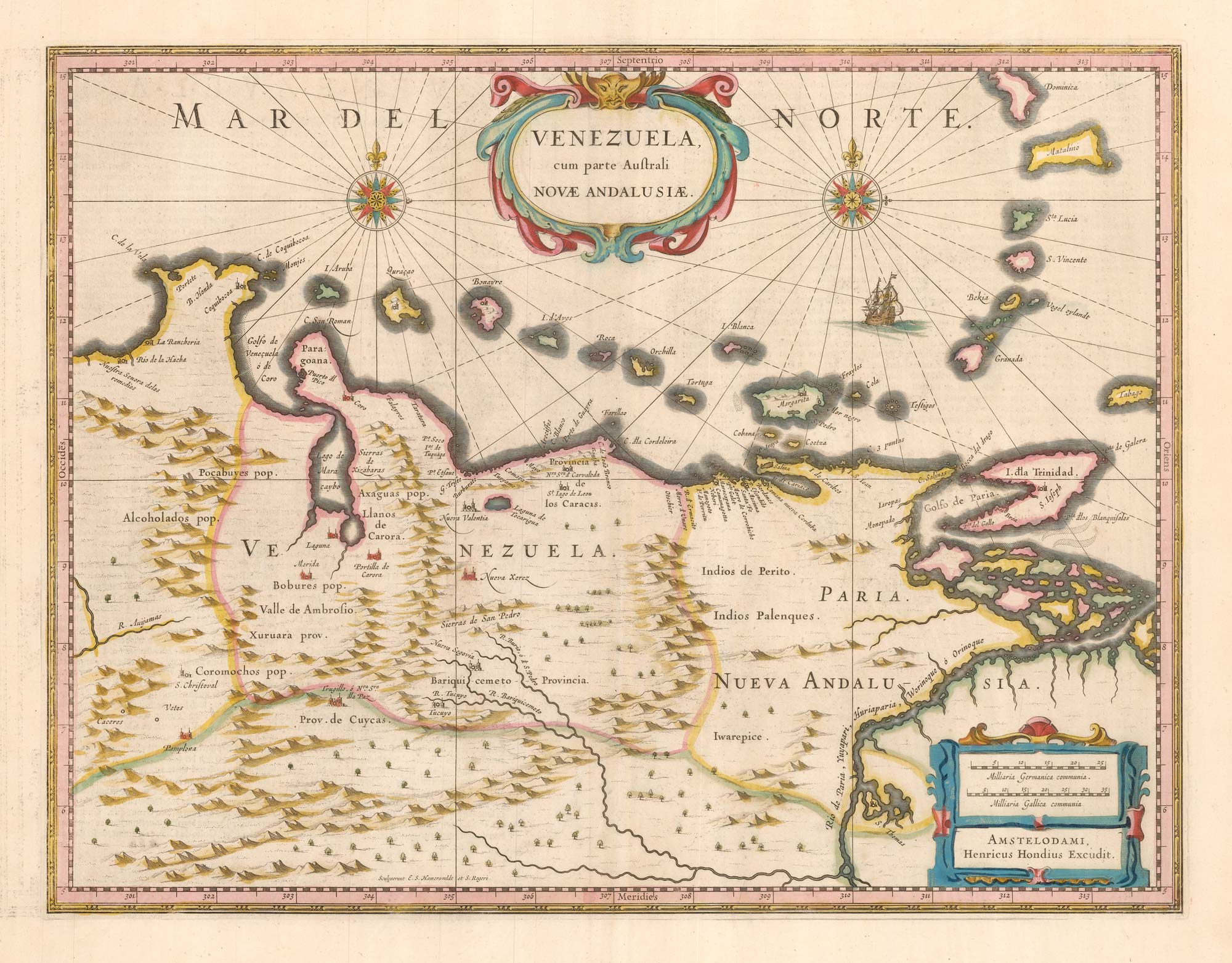
A 17th century map of Venezuela
HONDIUS, Henricus. Date: 1642 Stock #: 25303 £650.00
Add to Wishlist
Add to Wishlist
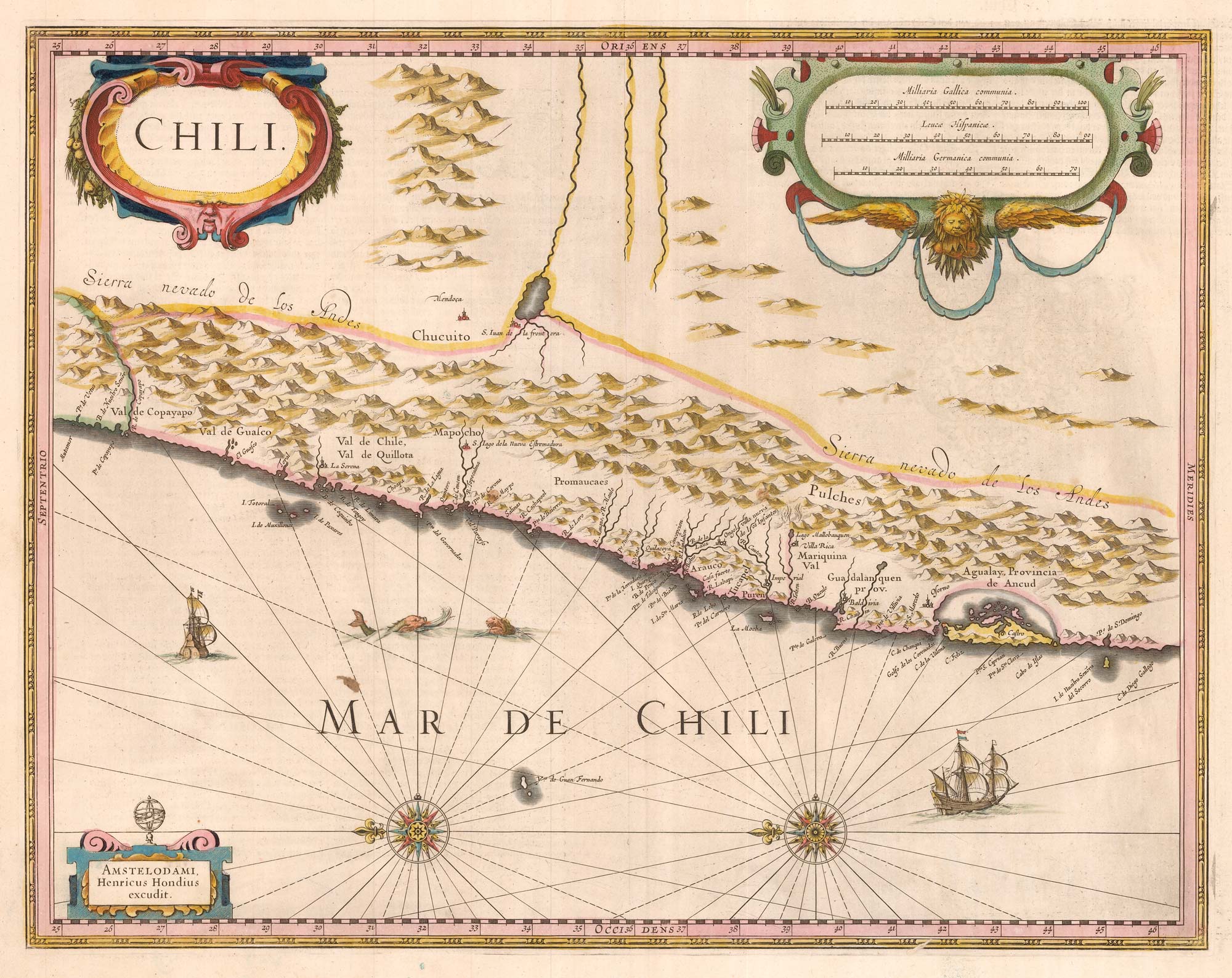
17th century Dutch map of Chile
HONDIUS, Henricus. Date: 1633 Stock #: 25299 £475.00
Add to Wishlist
Add to Wishlist
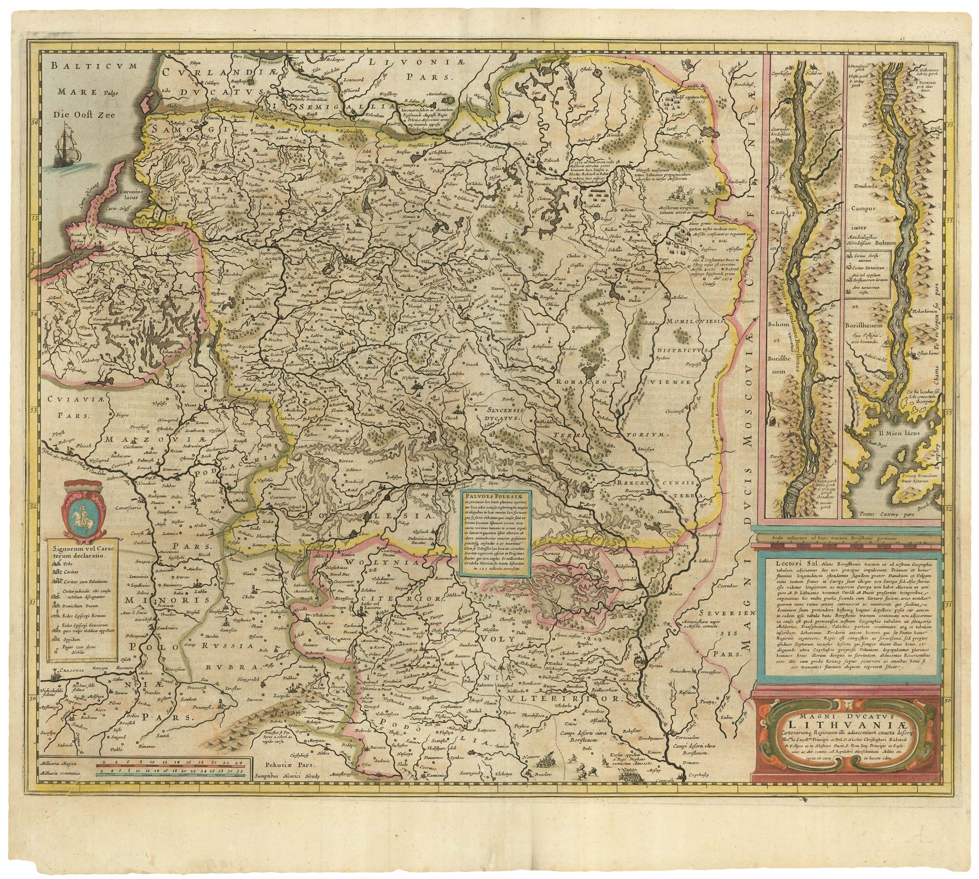
An early example of this 17th century map of Lithuania
HONDIUS, Henricus. Date: 1638 Stock #: 25254 £1,300.00
Add to Wishlist
Add to Wishlist

The Holy Land after Adrichom in fine original colour
HONDIUS, Henricus. Date: 1717 Stock #: 24920 £1,000.00
Add to Wishlist
Add to Wishlist
