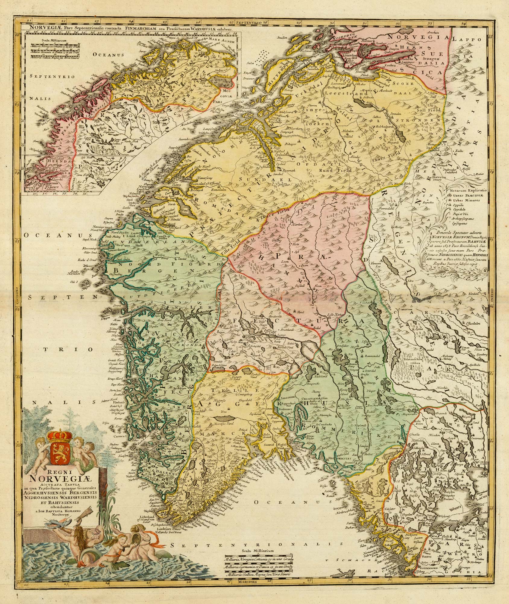


Decorative 18th century map of Norway
Regni Norvegiae Accurata Tabula in qua Praefecturae quinque Generales Aggerhusiensis Bergensis Nidrosiensis Wardhusiensis et Bahusienis...
Nuremberg, 1720. Coloured. 600 x 500mm.
£460.00
1 in stock
x
Question About This Item?
Decorative 18th century map of Norway & HOMANN, Johann Baptist.Stock #: 24171
Add to Wishlist
Export as PDFEnquireSimilar to Sell?Add to Wishlist
Description
A decorative map of the Kingdom of Norway, from Gothenburg to the North Sea. The title cartouche is crowned by the coat of arms of the Norwegian Royal Family. The inset map at the top left shows regions of northern Norway and Trondheim. On the right is a cartouche entitled 'notarum explicatio' (known explanation) which contains a short political statement for some of the areas. The Peace of Roskilde in 1658 and the Peace of Copenhagen in 1660 are mentioned. These agreements ended the war between Denmark, Norway and Sweden. Denmark conceded possessions in what is now southern Sweden.
Condition:
A good example.Related products
-
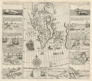
The Muscovy Company whaling at Svalbard
EDGE, Thomas. Date: 1625Stock #: 23464 £950.00 -
The Natural History of Norway, including sea-monsters!
PONTOPPIDAN, Erich. Date: 1755Stock #: 11264 £1,950.00 -
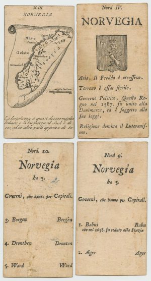
Four scarce Italian playing cards depicting Norway
Anonymous. Date: 1790Stock #: 24246 £850.00 -
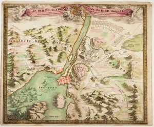
The Siege of Fredriksten, 1718
HOMANN, Johann Baptist. Date: 1720Stock #: 11091 £550.00 -
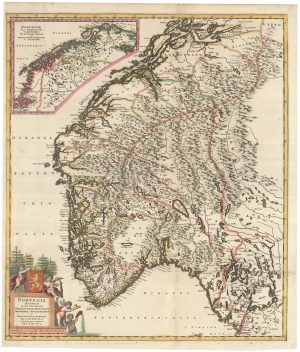
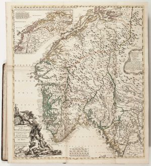
One of the few early map focusing on Norway
DE WIT, Frederick. Date: 1680Stock #: 23247 £850.00
Items by the same author
Add to Wishlist
Add to Wishlist

A 18th century plan of Würzburg
HOMANN, Johann Baptist. Date: 1723 Stock #: 25102 £650.00
Add to Wishlist
Add to Wishlist
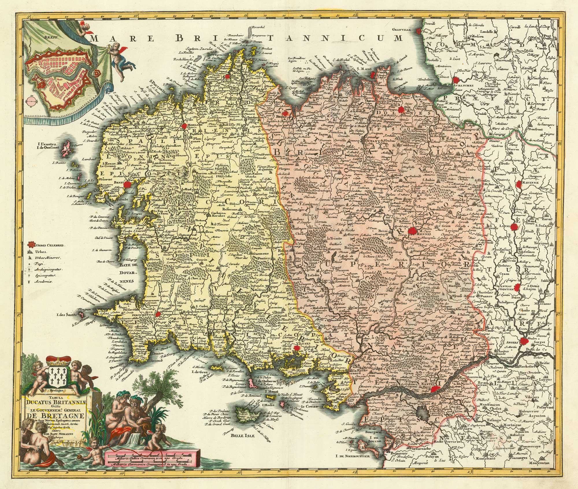
A detailed 18th century map of Brittany
HOMANN, Johann Baptist. Date: 1720 Stock #: 21195 £420.00
Add to Wishlist
Add to Wishlist
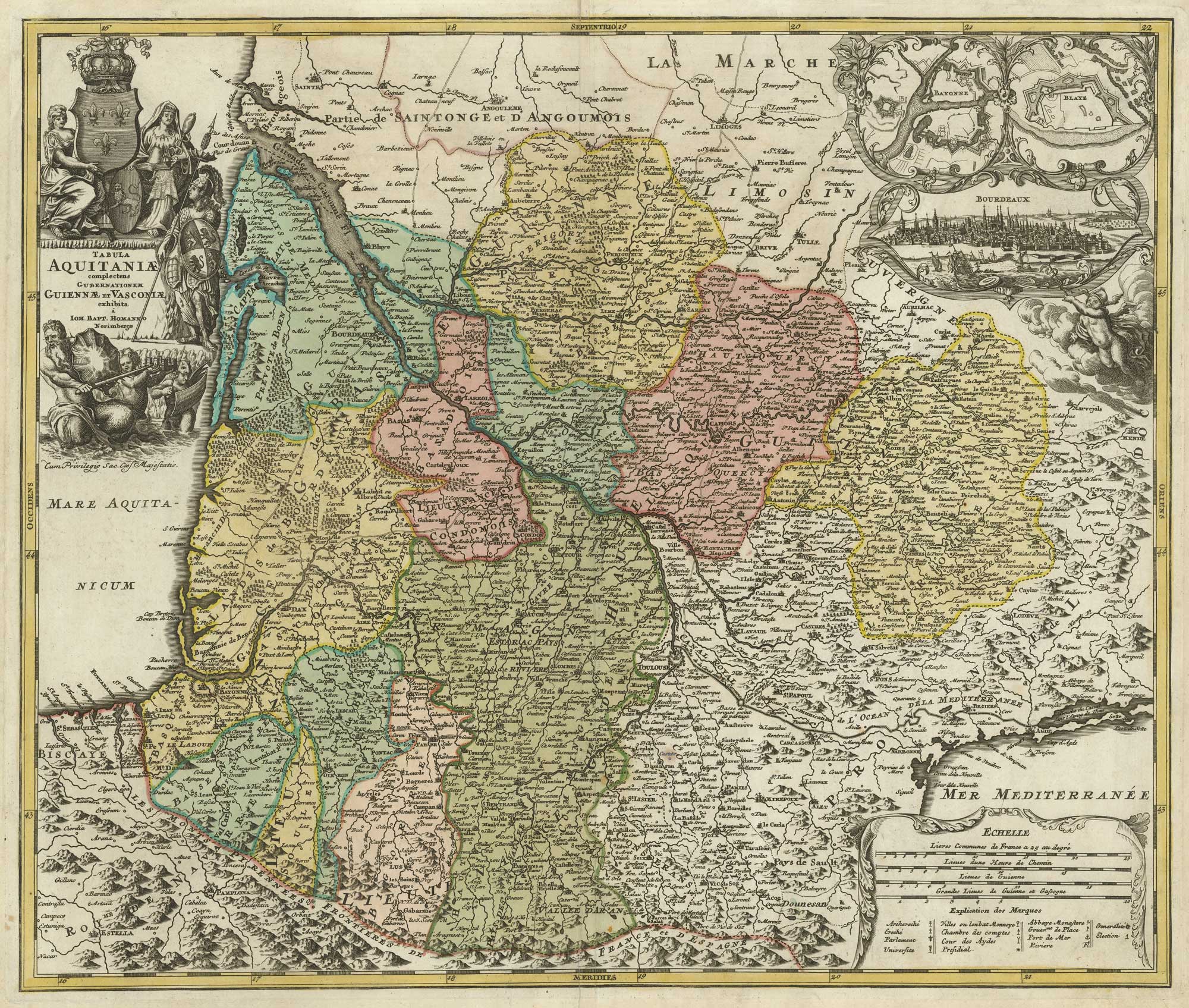
A map of Aquitaine in fine colour
HOMANN, Johann Baptist. Date: 1720 Stock #: 21233 £350.00
Add to Wishlist
Add to Wishlist

18th century map of Holstein
HOMANN, Johann Baptist. Date: 1720 Stock #: 11370 £200.00
Add to Wishlist
Add to Wishlist

18th century map of the Turkish Empire
HOMANN, Johann Baptist. Date: 1720 Stock #: 25258 £650.00
Add to Wishlist
Add to Wishlist