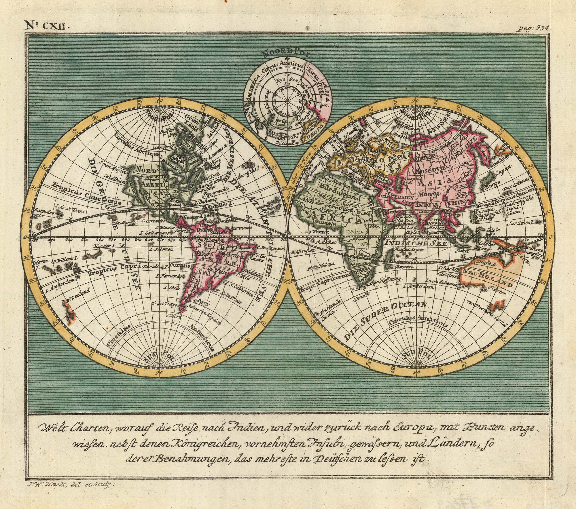


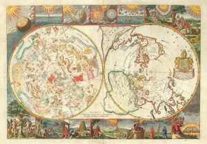
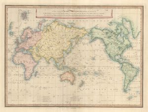
An 18th century double-hemisphere world map
Welt Charten, worauf die Reise nach Indien, und wider zuruck nach Europa, mit Puncten angewiesen nebst denen Konigreichen, vornehmsten Insuln, Gewassern, und Landern, so der er Benahmungen, das mehreste in Deutschen zu lessen ist
Wilhermsdorf: J.C. Tetschner, 1744. Coloured. 235 x 270mm.
£650.00
1 in stock
x
Question About This Item?
An 18th century double-hemisphere world map & HEYDT. Johann Wolfgang.Stock #: 17069
Add to Wishlist
Export as PDFEnquireSimilar to Sell?Add to Wishlist
Description
A German double-hemisphere map of the world, with a North Pole projection in the upper cusp. A plate from the 'Allerneuster geographisch- und topographischer Schau-Platz von Africa und Ost-Indien'.
From Johann Wolfgang Heydt's 'Allerneuster geographisch- und topographischer Schau-Platz von Africa und Ost-Indien'.
Heydt was a German who joined the VOC (Dutch East India Company) in 1733, leaving for the East that year. He spent over two years in Sri Lanka before moving to Batavia. However he was allowed to resign for health reasons in 1740, after which he returned to Germany. He produced this book four years later, engraving his sketches himself.
Condition:
A good example.Related products
-
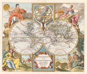
A mid-18th century Italian world map with allegorical figures of the continents
ALBRIZZI, Giovanni Battista. Date: 1742Stock #: 22318 £1,250.00 -
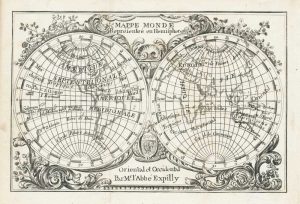
Miniature double-hemisphere world map
EXPILLY, Jean-Joseph. Date: 1765Stock #: 17435 £280.00 -
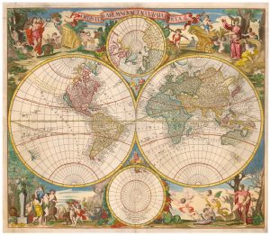
A scarce Dutch double-hemisphere world
VALK, Gerard & Leonard. Date: 1720Stock #: 22927 £3,200.00 -
A rare 17th century English maps of the world and the heavens
MOXON, Joseph. Date: 1695Stock #: 25274 £3,200.00 -
A 17th century French double-hemisphere map of the world
TAVERNIER, Melchior. Date: 1643Stock #: 25197 £5,500.00 -
A late-19th century double-hemisphere world map in Cyrillic
IL'IN, A. Date: 1890Stock #: 19431 £1,900.00 -
18th century double-hemisphere world map
MONATH, Peter Conrad. Date: 1749Stock #: 20464 £1,250.00 -
English world map showing Cook’s Voyages
FADEN, William. Date: 1838Stock #: 23199 £900.00 -
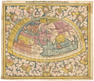
The second of Munster’s Ptolemaic world maps, in original colour
MUNSTER, Sebastian. Date: 1588Stock #: 24442 £3,500.00