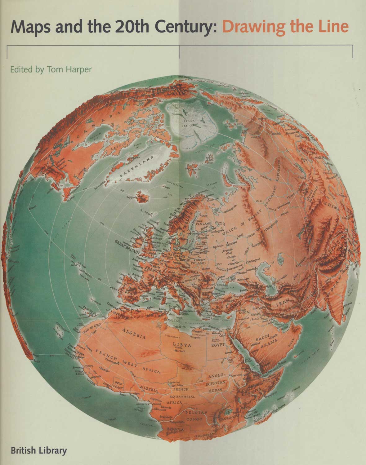


A readable account of 20th century maps
Maps and the 20th Century: Drawing the Line.
London: British Library, 2016. 4to, cloth and illustrated d/w; pp. 256, profusely illustrated.
£40.00
Description
A book accompanying an exhibition at the British Library, where the author is Lead Curator of Antiquarian Maps. It covers political, satirical, military, advertising and tourist maps
Condition:
As new.Related products
-
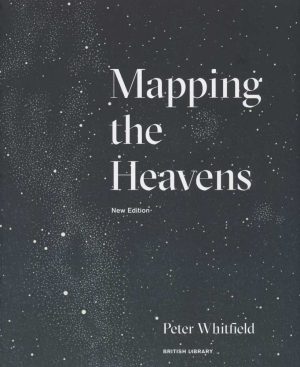
The history of celestial mapping
WHITFIELD, Peter. Date: 2018Stock #: 22587 £15.00 -
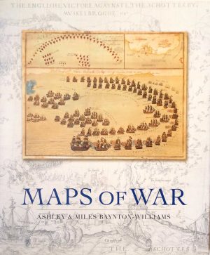
Large-format book on antiquarian war maps
BAYNTON-WILLIAMS, Ashley & Miles. Date: 2007Stock #: 23963 £70.00 -
Monsters of cartographers’ imagination
VAN DUZER, Chet. Date: 2014Stock #: 18245 £25.00 -
‘The Greatest Explorations, Quests and Discoveries on Maps’
BROOKE-HITCHING, Edward. Date: 2016Stock #: 19105 £25.00 -
A chronicle of the race for the Far East
NUGENT, Nicholas. Date: 2024Stock #: 25107 £40.00 -
A description of the greatest atlas of the 17th century
GOSS, John. Date: 1997Stock #: 21846 £40.00 -
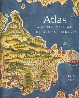
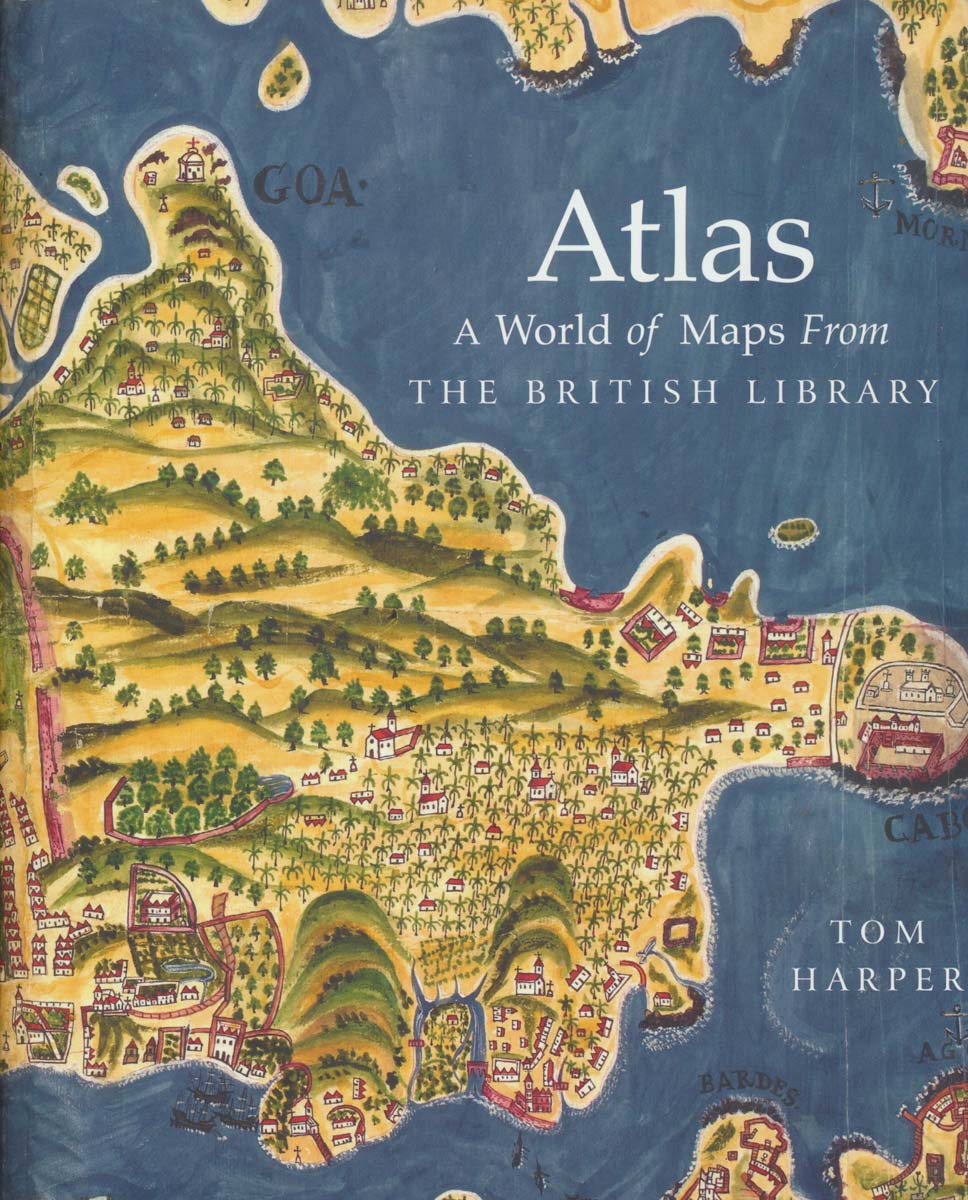
The gems of the British Library map collection
HARPER, Tom. Date: 2018Stock #: 22207 £30.00 -
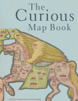
Oddities in the history of cartography
BAYNTON-WILLIAMS, Ashley. Date: 2015Stock #: 19108 £30.00 -
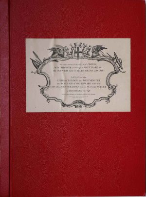
Facsimile of both Rocque’s 24 & 16-sheet map of London
ROCQUE, John. Date: 1971Stock #: 24478 £650.00
Items by the same author
Add to Wishlist
Add to Wishlist