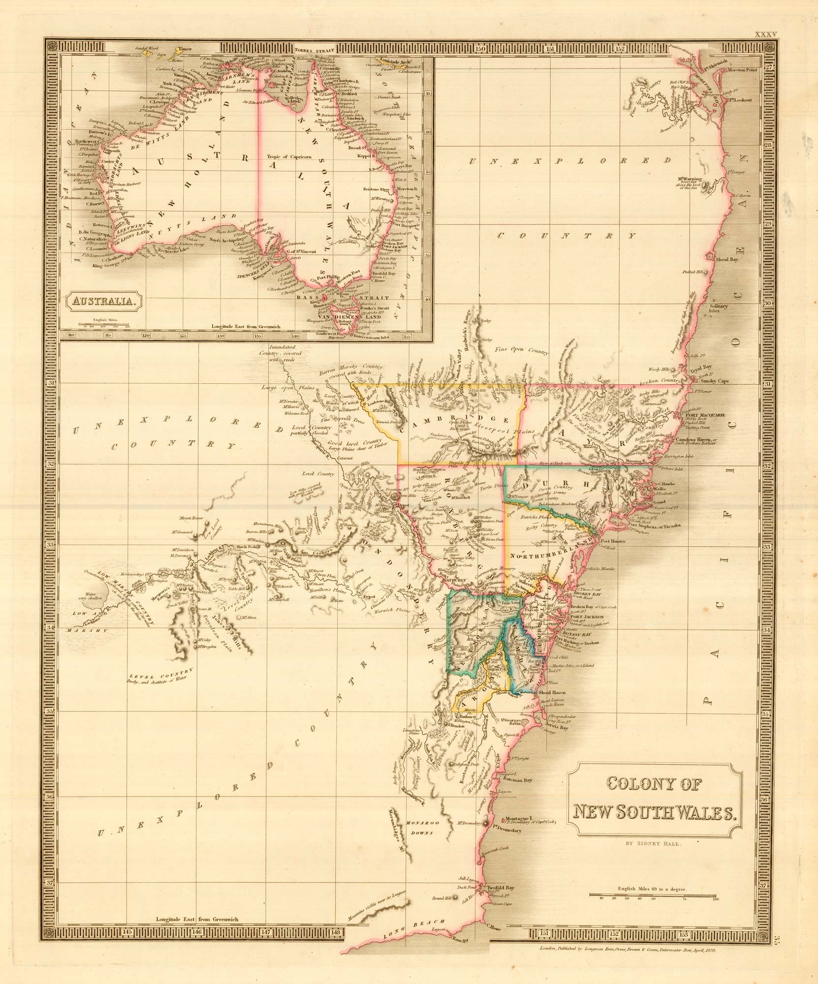


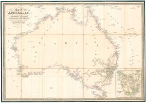
John Oxley’s mapping of New South Wales
Colony of New South Wales.
London: Longman, Rees, Orme, Brown & Green, 1828. Original outline colour. 535 x 440mm.
£280.00
Description
A detailed map of New South Wales based on the important surveys of John Oxley who, as Surveyor General of New South Wales, published his map in 1822. It shows the colony divided into the countys of Cambridge, Ayr, Roxburgh, Durham, Northumberland, Londonderry, Westmorland, Cumberland, Camden and Argyll. Outside the settled areas the map shows the east coast of Australia from Brisbane south to Cape Howe and Oxley's mapping of the Lachan River (1817) and Macquarie River (1818), with three large areas of 'unexplored country'.
Condition:
Small tear in margin.Related products
-
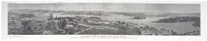
A prospect of Sydney during the International Exhibition of 1879
HARRAL, Horace. Date: 1879Stock #: 20474 £800.00 -
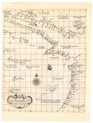
The first map of Australia by an Englishman
DUDLEY, Robert. Date: 1646Stock #: 23777 £8,500.00 -
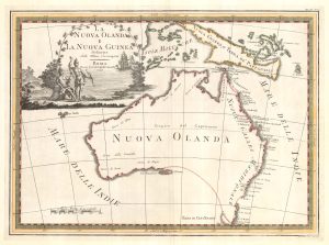
One of the most decorative maps of Australia
CASSINI, Giovanni Maria. Date: 1798Stock #: 17956 £3,750.00 -
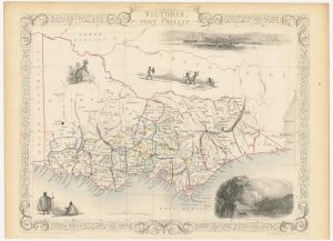
A mid-19th century map of Victoria marking the gold fields
TALLIS, John. Date: 1851Stock #: 23543 £150.00 -
19th century Australia
WEILAND, Carl Ferdinand. Date: 1850Stock #: 20927 £300.00 -
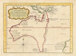
A pre-Cook discoveries map of Australia
BELLIN, Jacques-Nicolas. Date: 1753Stock #: 25052 £1,000.00 -
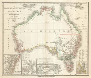
Folding map of Australia with fine colour
WYLD, James. Date: 1833Stock #: 24071 £980.00 -
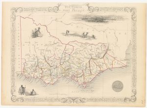
A mid-19th century map of Victoria with decorative vignettes
TALLIS, John. Date: 1851Stock #: 21787 £150.00 -
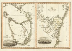
Maps of New South Wales and Tasmania
LIZARS, William Home. Date: 1830Stock #: 22021 £480.00