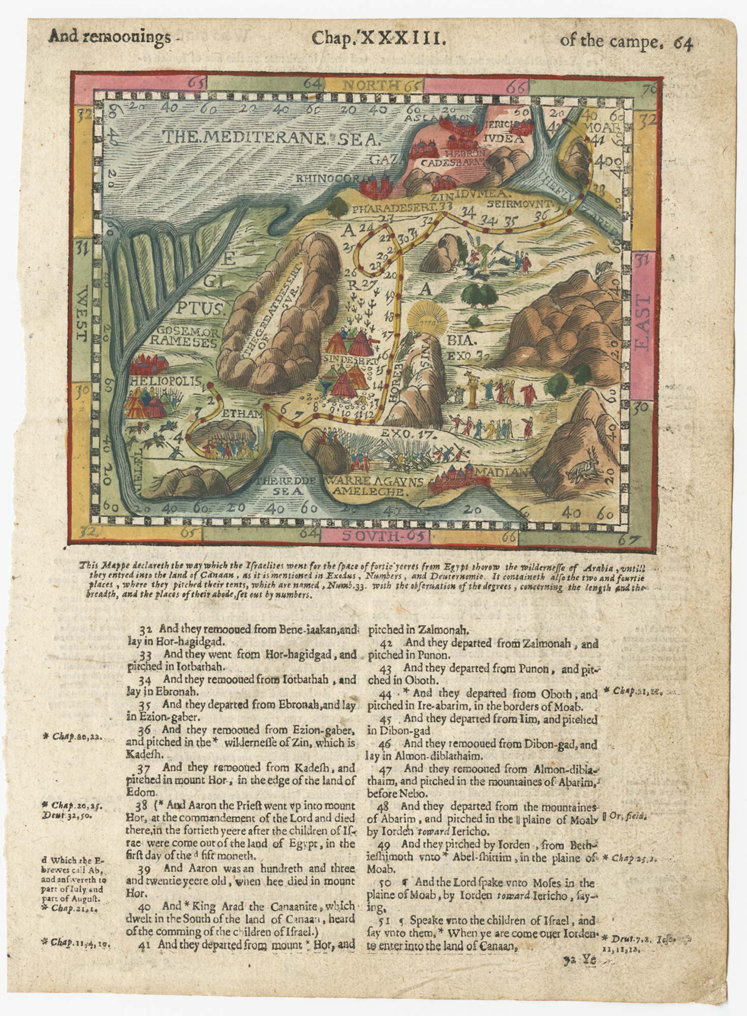


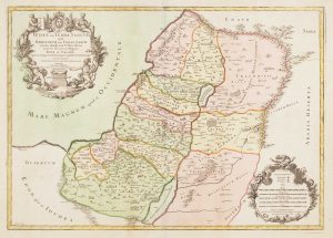
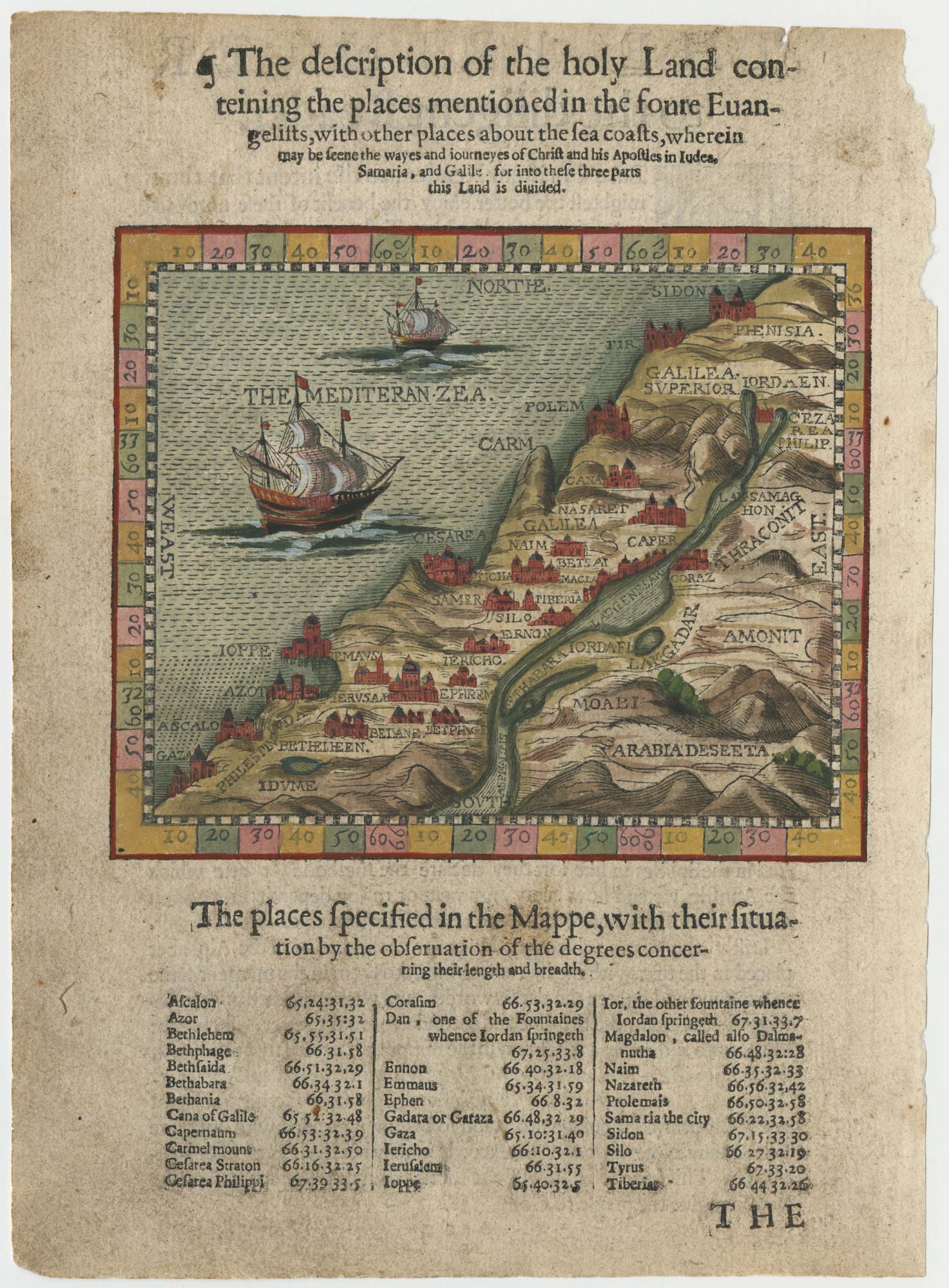
A 16th century map of the Holy Land from a ‘Geneva Bible’
[The description of the holy Land...]
London: Christopher Barker, c.1599. Coloured woodcut, 85 x 120mm, set in English letterpress.
£220.00
1 in stock
x
Question About This Item?
A 16th century map of the Holy Land from a ‘Geneva Bible’ & POSTEL, Guillaume.Stock #: 24852
Add to Wishlist
Export as PDFEnquireSimilar to Sell?Add to Wishlist
Description
An untitled map of the Holy Land, with the last few years of the Exodus marked. It was published in an edition of the Geneva Bible, the second English translation of the Bible, undertaken by Protestants sheltering in Switzerland and first published in 1560.
The map is probably adapted from one by Guillaume Postel, and was first published in 1568. There are two sea monsters in 'The Mediteran Zea.
Because of its Calvinist annotations, printing the 'Geneva Bible' was banned soon after the 'King James Bible' was published in 1611. However Robert Barker continued to print copies, with his father's name and date of 1599, until c.1625.
Condition:
Paper toned, left edge frayed. affecting textReferences:
See LAOR: 588.Related products
-
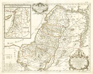
The Holy Land after Adrichom in fine original colour
HONDIUS, Henricus. Date: 1717Stock #: 24920 £1,000.00 -
17th century map of the Holy Land
DE WIT, Frederick. Date: 1680Stock #: 25259 £680.00 -
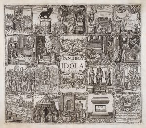
17th century Illustrations of gods recorded in the Old Testament
VAUGHAN, Robert. Date: 1650Stock #: 20704 £345.00 -
18th century map of the Holy Land in fine colour
JAILLOT, Alexis-Hubert. Date: 1781Stock #: 14768 £450.00 -
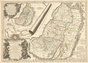
A mid 18th century map of the Holy Land
ROBERT DE VAUGONDY, Gilles. Date: 1745Stock #: 25321 £750.00 -
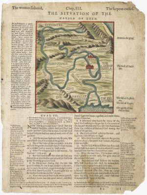
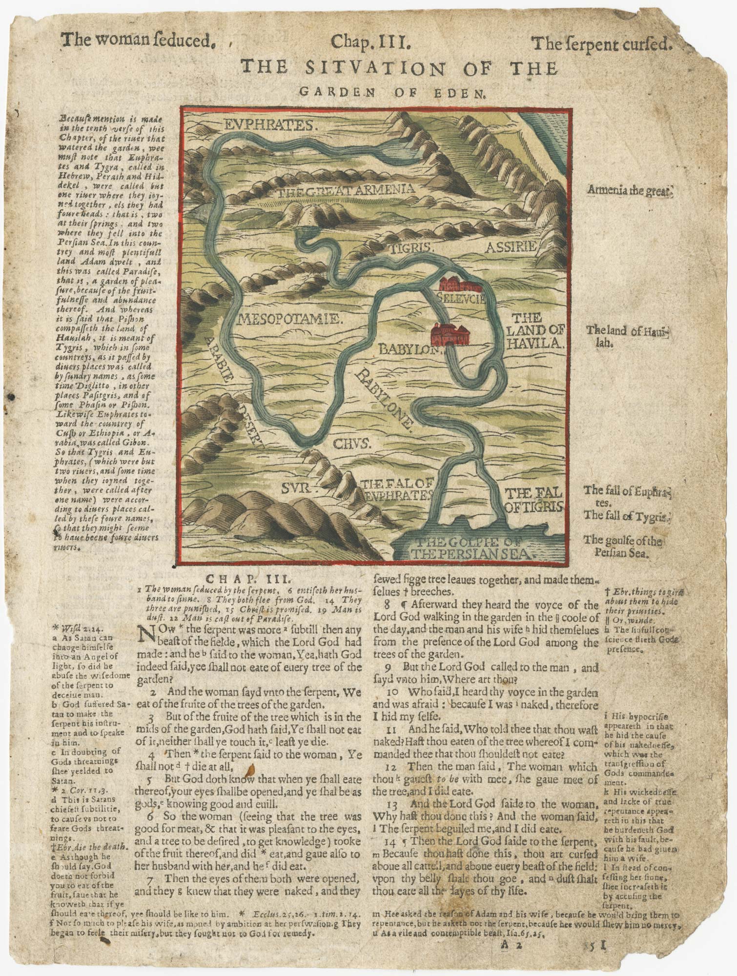
A 16th century map of the site of Eden, from a ‘Geneva Bible’
POSTEL, Guillaume. Date: 1599Stock #: 24853 £120.00 -
17th century map of the Holy Land
DE ROSSI, Giovanni Giacomo. Date: 1679Stock #: 19579 £230.00 -
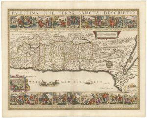
Uncommon 17th century panelled map of the Holy Land
JANSSON, Jan. Date: 1677Stock #: 21897 £3,500.00 -

The Holy Land and Egypt in fine colour
SEATON, Robert. Date: 1731Stock #: 24596 £2,400.00
Items by the same author
Add to Wishlist
Add to Wishlist
A 16th century map of the Holy Land from a 'Geneva Bible'
POSTEL, Guillaume. Date: 1599 Stock #: 24851 £250.00
Add to Wishlist
Add to Wishlist
A 16th century map of the site of Eden, from a 'Geneva Bible'
POSTEL, Guillaume. Date: 1599 Stock #: 24853 £120.00
Add to Wishlist
Add to Wishlist