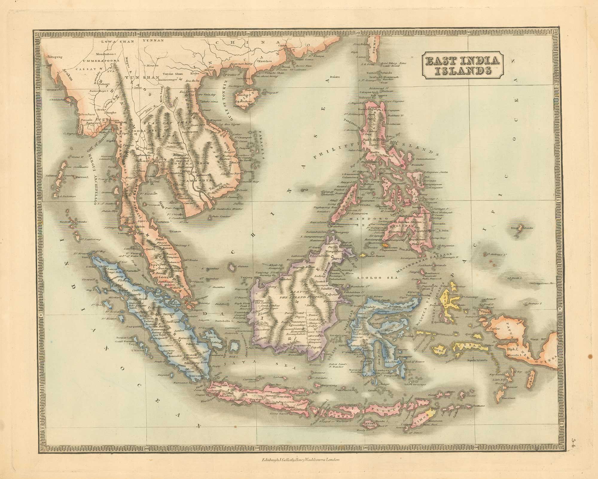


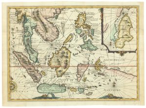
Mid 19th century map of the East India Islands
East India Islands.
Edinburgh: J. Gellatly, & London: Henry Washbourne, 1843. Original colour. 290 x 385mm.
£175.00
1 in stock
x
Question About This Item?
Mid 19th century map of the East India Islands & GELLATLY, John.Stock #: 19952
Add to Wishlist
Export as PDFEnquireSimilar to Sell?Add to Wishlist
Description
A map of the East India Islands, from the scarce 'New Edinburgh General Atlas' which was published jointly in London and Edinburgh. This atlas contained maps with excellent detail of towns, cities, rivers, lakes, orography, and political divisions.
Condition:
A good example.Related products
-
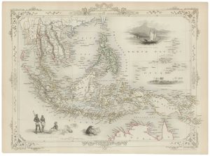
A mid-19th century map of the East Indies with decorative vignettes
TALLIS, John. Date: 1851Stock #: 21611 £240.00 -

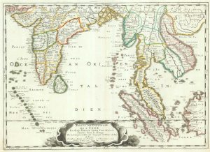
The East Indies with early evidence of the Dutch discovery of Australia
JANSSON, Jan. Date: 1807Stock #: 25082 £1,700.00 -
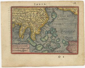
A 16th century miniature map of South East Asia
ORTELIUS, Abraham. Date: 1593Stock #: 24460 £350.00 -
Rare map of the interests of the V.O.C. in the East Indies
RENNEVILLE, René Auguste Constantin. Date: 1725Stock #: 22933 £1,650.00 -

The first printed map recording Tasman’s second visit to Australia, 1644
DONCKER, Hendrik. Date: 1659Stock #: 24893 £15,000.00 -
17th century map of the East Indies
SANSON, Nicolas. Date: 1658Stock #: 19813 £650.00 -

A mid-19th century map of the East Indies
WEILAND, Carl Ferdinand. Date: 1847Stock #: 21922 £240.00 -
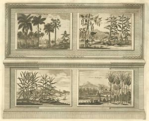
Illustrations of the flora and fauna of the East-Indies
AA, Pieter van der. Date: 1725Stock #: 20089 £200.00 -
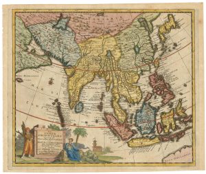
Early 18th century map of South East Asia
AA, Pieter van der. Date: 1719Stock #: 21650 £400.00
Items by the same author
Add to Wishlist
Add to Wishlist
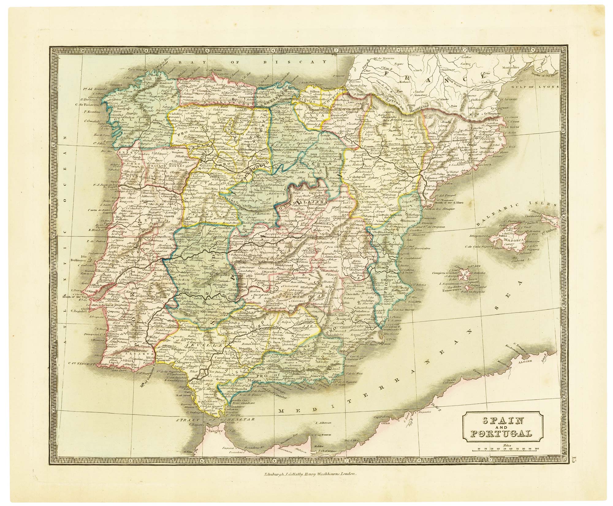
Mid-19th century map of Spain and Portugal with fine colour
GELLATLY, John. Date: 1843 Stock #: 21657 £110.00
Add to Wishlist
Add to Wishlist
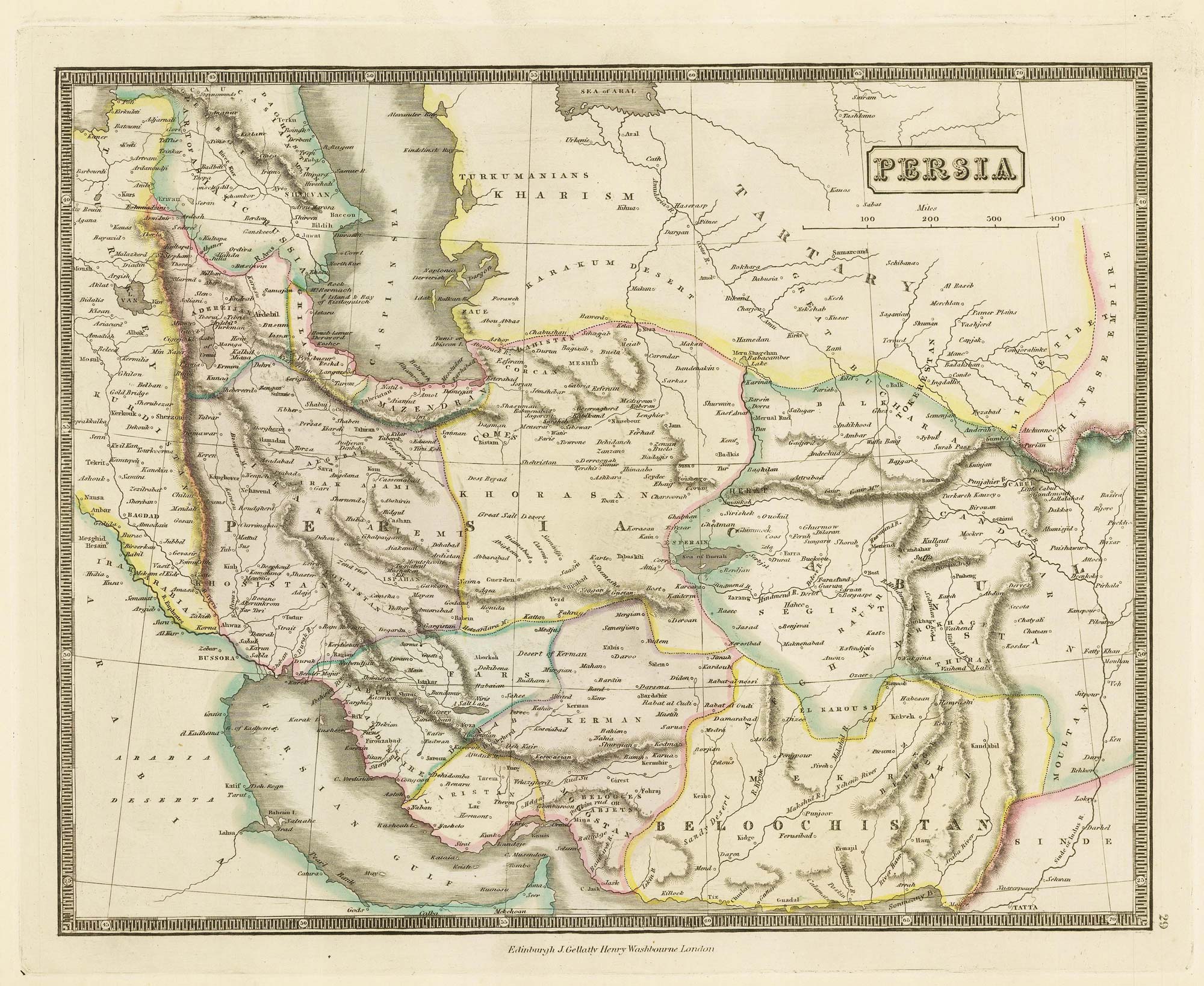
Mid-19th century map of Persia with fine colour
GELLATLY, John. Date: 1843 Stock #: 21659 £120.00
Add to Wishlist
Add to Wishlist
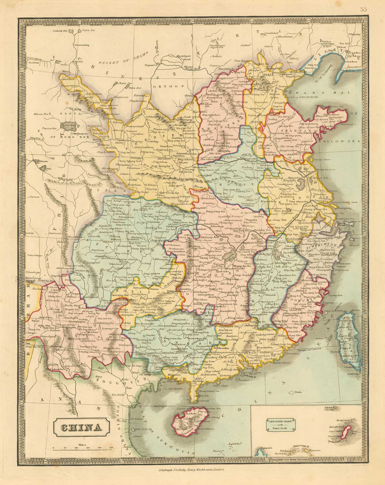
Mid 19th century map of China
GELLATLY, John. Date: 1843 Stock #: 19950 £280.00
Add to Wishlist
Add to Wishlist