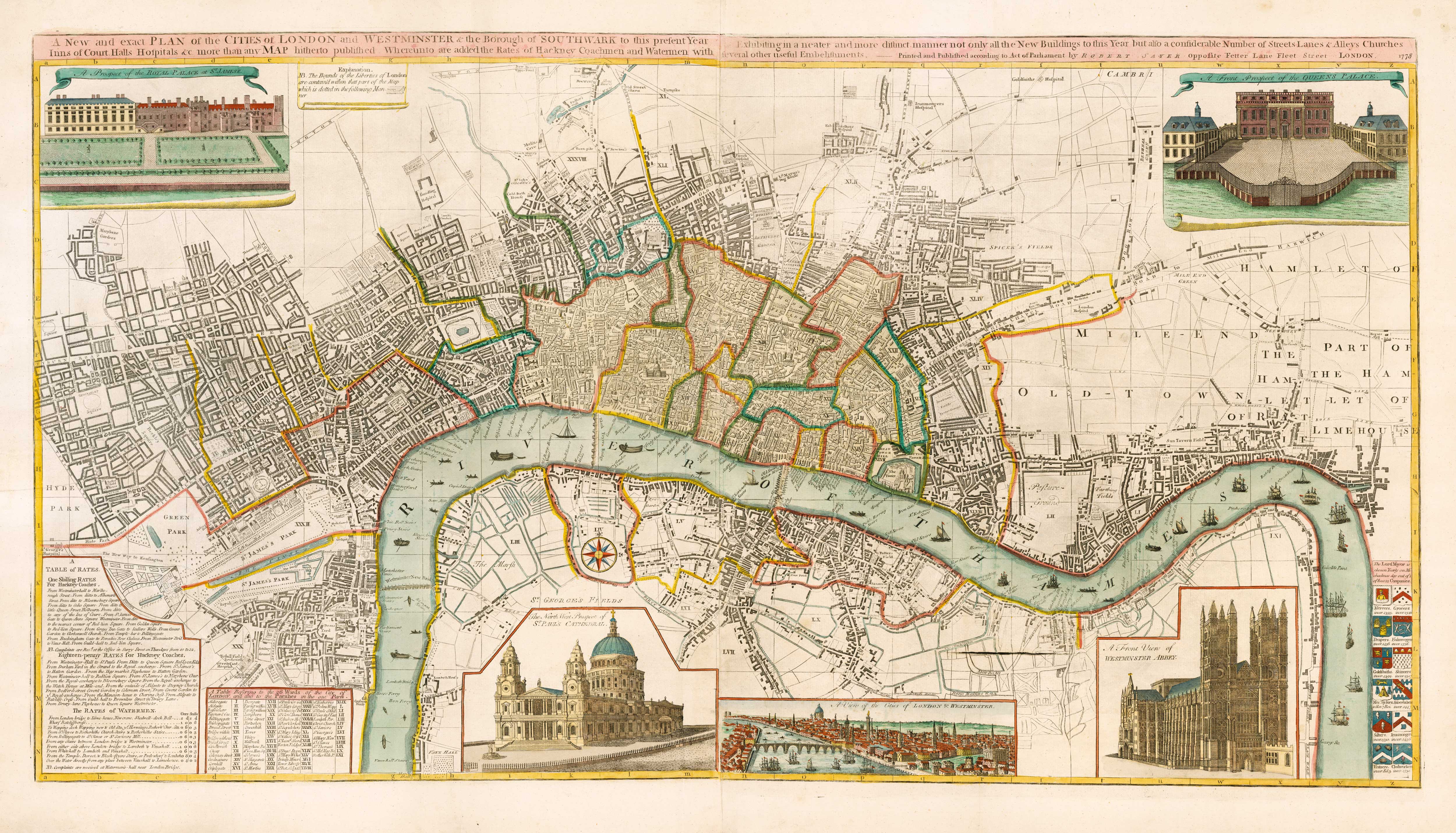


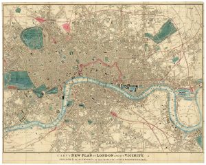
An 18th century two-sheet plan of London
A New and exact Plan of the Cities of London and Westminster & the Borough of Southwark to this present Year Exhibiting in a neater and more distinct manner not only all the New Buildings to this Year but also a considerable Number of Streets, Lanes & Alleys, Churches, Inns of Court, Halls, Hospitals &c. more than any Map hitherto published. Whereunto are added the Rates of Hackney Coachmen and Watermen with several other useful embelishments.
London: Robert Sayer, 1778. Coloured. Two sheets conjoined, total 565 x 1020mm.
£3,800.00
Description
A large and detailed town plan of London, originally published in 1738. In 1775 Sayer added the inset prospect of London and views of St James's Palace, the Queen's Palace, Westminster Abbey & St Paul's. Tables give a key for the wards, and rates for hackney coaches and watermen. Bottom right are the arms of 12 city companies.
Condition:
A good example.References:
HOWGEGO: 82, this state not listed;Related products
-

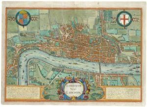
A map of London with vignettes
Society for the Diffusion of Useful Knowledge. Date: 1836Stock #: 15496 £700.00 -
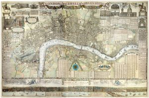
The rare Jansson edition of the earliest available map of London
BRAUN, Georg & HOGENBERG, Frans. Date: 1657Stock #: 25199 £6,500.00 -
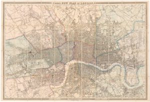
Large scale map of London in 1861
CROSS, Joseph. Date: 1787Stock #: 22409 £2,000.00 -
An Edwardian facsimile of a twelve-sheet map of London after the Fire
MORGAN, William. Date: 1904Stock #: 19441 £6,000.00 -
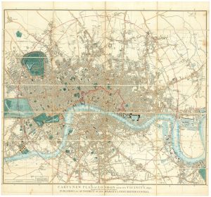
Detailed map of London in the reign of William IV
CARY, John. Date: 1836Stock #: 23294 £1,500.00 -
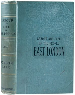
The first published volume of Booth’s ‘Labour and Life’ in London
BOOTH, Charles. Date: 1889Stock #: 21934 £3,500.00 -
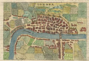
Early Italian plan of London
VALEGIO, Francesco. Date: 1713Stock #: 18640 £350.00 -
Detailed map of London during the Great Exhibition of 1851
CARY, John. Date: 1851Stock #: 24101 £1,500.00 -
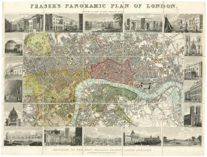
Plan of London during the reign of William IV
FRASER, James. Date: 1831Stock #: 19889 £1,100.00