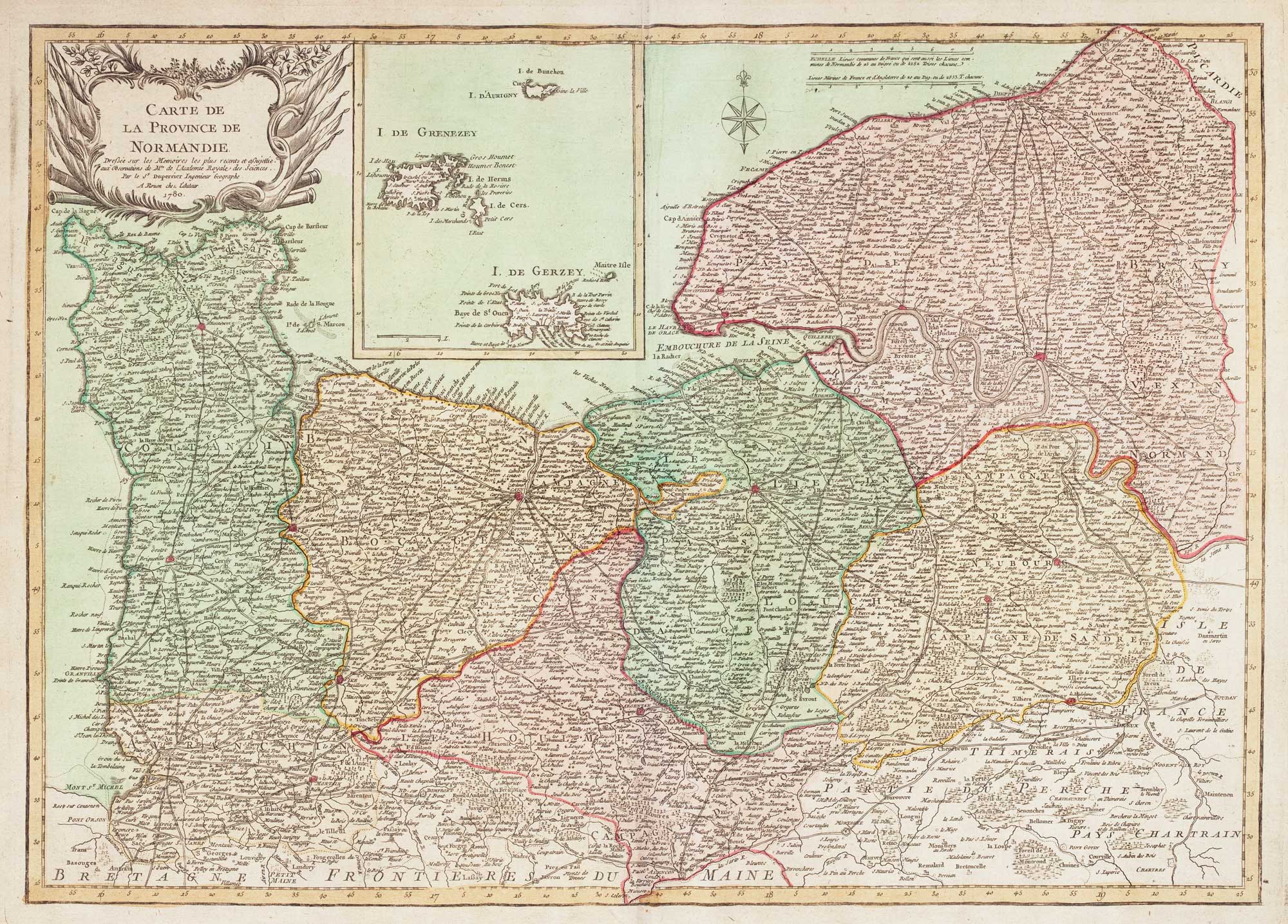


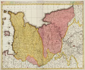
Scarce map of Normandy in fine colour
Carte de la Province de Normandie.
Paris: Desnos, c.1780. Fine original colour. 510 x 710mm.
£450.00
Description
An unusual map of Normandy, originally published by Dupperrier (his only known map) in Rouen in 1767, with an inset of the Channel Islands. The colouring is particularly fresh and bright.
Condition:
A fine example.Related products
-
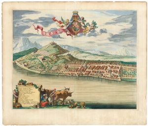
A scarce 17th century prospect of Evian-les-Bains in superb colour
BLAEU, Johannes. Date: 1682Stock #: 23265 £1,250.00 -
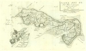
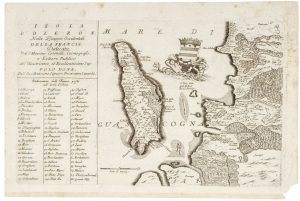
17th century map of the Ile de Ré
CORONELLI, Vincenzo Maria. Date: 1690Stock #: 19540 £260.00 -
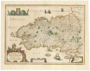
A detailed 17th century map of Brittany
HONDIUS, Henricus. Date: 1650Stock #: 23384 £500.00 -
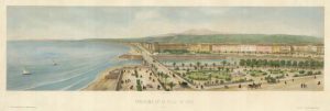
An elevated prospect of Nice, looking west
ASSELINEAU, Leon-Auguste. Date: 1860Stock #: 21894 £450.00 -
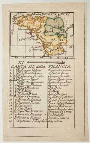
An 18th century playing-card map of Normandy and surrounds
RABATTA, Augusto & BAILOU, Jean Baptist de. Date: 1779Stock #: 12975 £200.00 -
Early 18th century map of Normandy in fine colour
VALK, Gerard & Leonard. Date: 1700Stock #: 15399 £250.00 -
17th century map of Oleron
CORONELLI, Vincenzo Maria. Date: 1690Stock #: 21090 £240.00 -
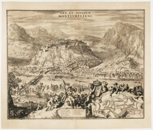
A fine prospect of the Savoyard fortress of Montmélian
HOOGHE, Romeyn de. Date: 1697Stock #: 14678 £700.00 -
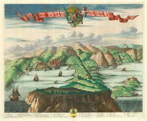
A scarce 17th century prospect of Villefranche-sur-Mer
BLAEU, Johannes. Date: 1682Stock #: 24159 £1,500.00