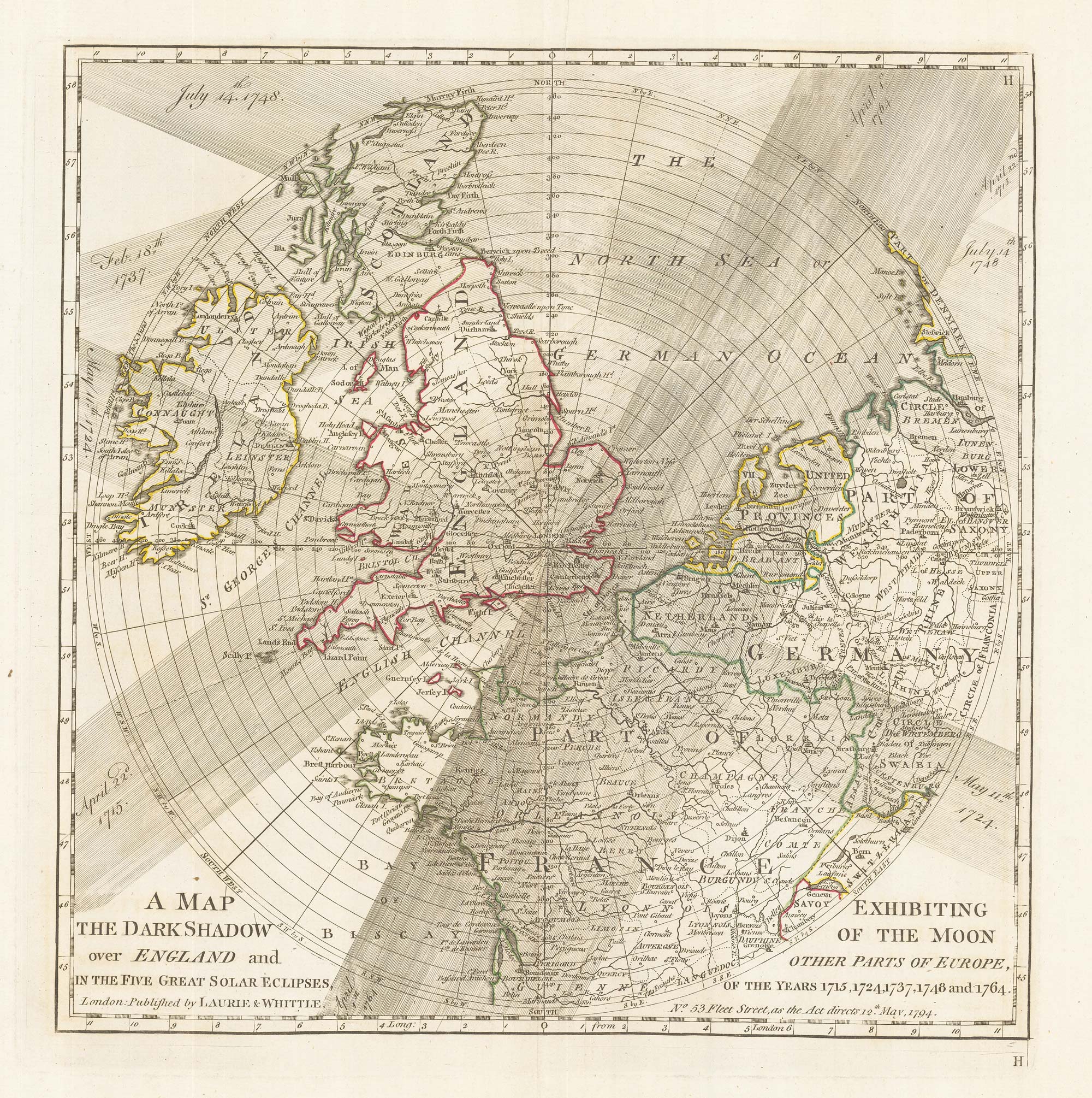


A plan of eclipses over England in the 18th century
A Map Exhibiting the Dark Shadow of the Moon over England and other parts of Europe, in the Five Great Solar Eclipses, Of the Years, 1715, 1724, 1737, 1748 and 1764.
London: Laurie & Whittle, 1794. Original outline colour. 315 x 310mm, with wide margins.
£350.00
1 in stock
x
Question About This Item?
A plan of eclipses over England in the 18th century & DUNN, Samuel.Stock #: 22159
Add to Wishlist
Export as PDFEnquireSimilar to Sell?Add to Wishlist
Description
An unusual and separately published circular map, centred on London, showing the paths of total (1715, 1724) and partial (1737, 1748, 1764) solar eclipses that were visible from Europe. The extent of the map includes Ireland, England, Scotland, and parts of continental Europe including Germany and France. Each eclipse is labelled with its date and depicted as a shadowed path. The shadowed path design is visually impactful and a clear way to communicate how the moon passes in front of the sun.
Condition:
A good example.Related products
-
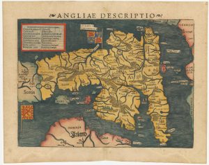
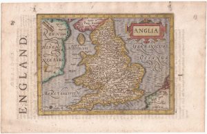
An early woodcut map of England
MUNSTER, Sebastian. Date: 1572Stock #: 24564 £1,000.00 -
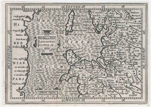
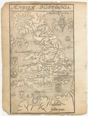
A miniature map of North West England and Wales
HONDIUS, Jodocus II. Date: 1807Stock #: 22148 £80.00 -
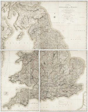
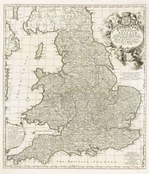
Georgian wall map of England & Wales
CARY, John. Date: 1820Stock #: 22666 £1,250.00 -
England and Wales from the first English Edition of the ‘Atlas Minor’
HONDIUS, Jodocus. Date: 1635Stock #: 22399 £220.00 -
A separate-issue road map of England
VISSCHER, Nicolas. Date: 1694Stock #: 10557 £480.00 -
A 16th century woodcut map of England and Wales
LYNE, Richard. Date: 1596Stock #: 23298 £750.00 -
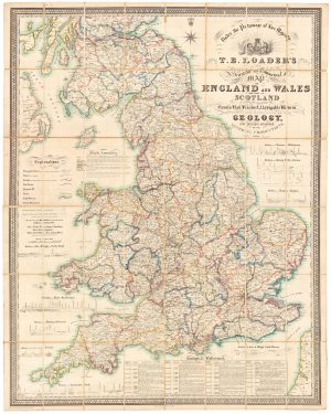
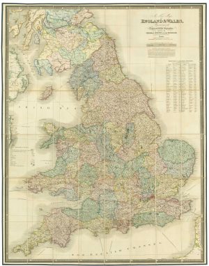
A large and detailed Victorian map of England & Wales
LOADER, T.B. Date: 1840Stock #: 22981 £1,850.00 -
A large folding map of England and Wales in fine colour
FADEN, William. Date: 1830Stock #: 21859 £500.00 -
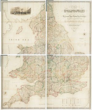
Four-sheet folding map of England & Wales
CREIGHTON, R. Date: 1839Stock #: 10621 £800.00
Items by the same author
Add to Wishlist
Add to Wishlist
