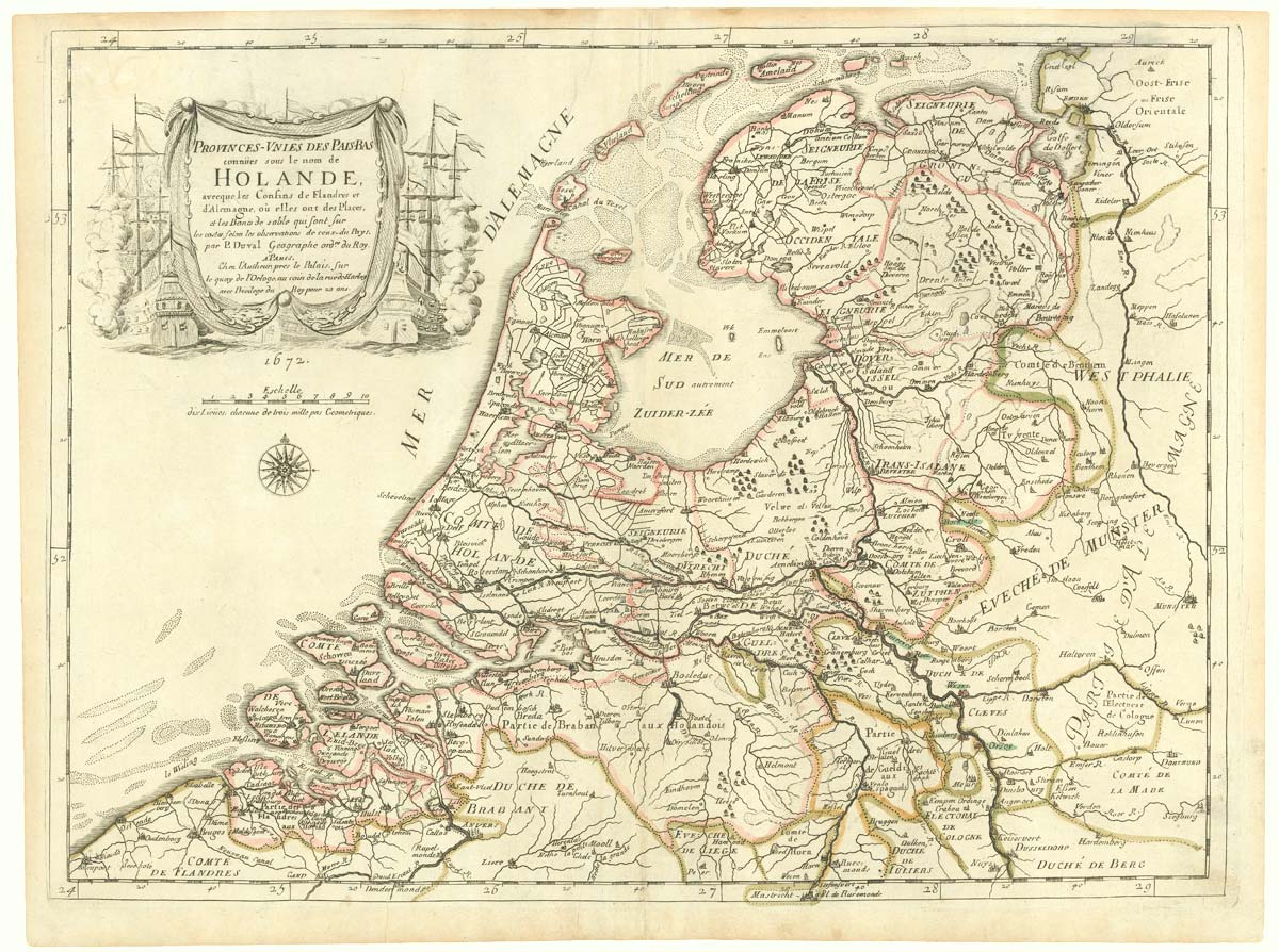


The Netherlands during the Anglo-Dutch War of 1672
Provinces-Unies des Pais-Bas connües sous le nom de Holande, avec les Confins de Flandres et d'Alemagne, où elles sont des Places, et les Bancs de sable qui sont sur les costes.
Paris: Du Val, 1672. Original outline colour. 405 x 550mm. With rare letterpress text sheet.
£900.00
1 in stock
x
Question About This Item?
The Netherlands during the Anglo-Dutch War of 1672 & DU VAL, Pierre.Stock #: 20503
Add to Wishlist
Export as PDFEnquireSimilar to Sell?Add to Wishlist
Description
A scarce map of the Netherlands, with a title cartouches of a sea battle referencing the Third Anglo-Dutch War (1672-4), in which England France united to attack the Dutch Republic. The allies failed to capitalise on their superior fleets, and eventually this costly and fruitless war (in which England temporarily lost New York) was abandoned by Charles II because of Parliamentary opposition.
Condition:
A good example.Related products
-
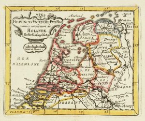
Miniature map of Holland
DU VAL, Pierre. Date: 1682Stock #: 10859 £140.00 -
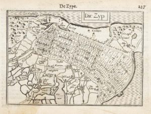
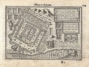
A 16th century miniature map of Zijpe
LANGENES, Barent. Date: 1599Stock #: 21162 £70.00 -
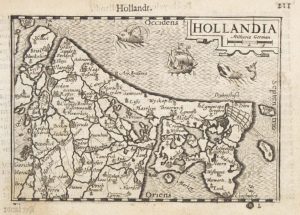
A 16th century miniature map of Holland
LANGENES, Barent. Date: 1599Stock #: 21158 £85.00 -
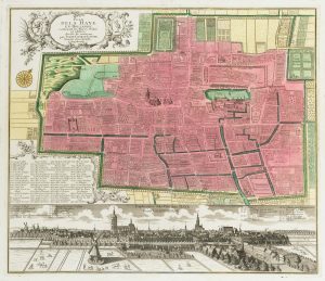
18th century town plan of the Hague
SEUTTER, Matthaus. Date: 1760Stock #: 22693 £1,300.00 -
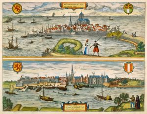
16th century town plans of Rotterdam & Gouda
BRAUN, Georg & HOGENBERG, Frans. Date: 1588Stock #: 22690 £650.00 -
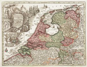
Holland with an Inset of its colonies in the East Indies
SEUTTER, Matthaus. Date: 1744Stock #: 11407 £280.00 -
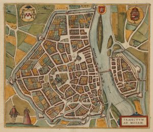
A 16th century town plan of Maastricht
BRAUN, Georg & HOGENBERG, Frans. Date: 1581Stock #: 22692 £600.00 -
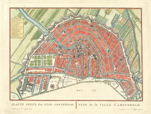
A late-18th century plan of Amsterdam
FOUQUET, Pierre. Date: 1783Stock #: 24826 £385.00 -
A 16th century miniature plan of a Roman fort
LANGENES, Barent. Date: 1599Stock #: 21306 £290.00
Items by the same author
Add to Wishlist
Add to Wishlist
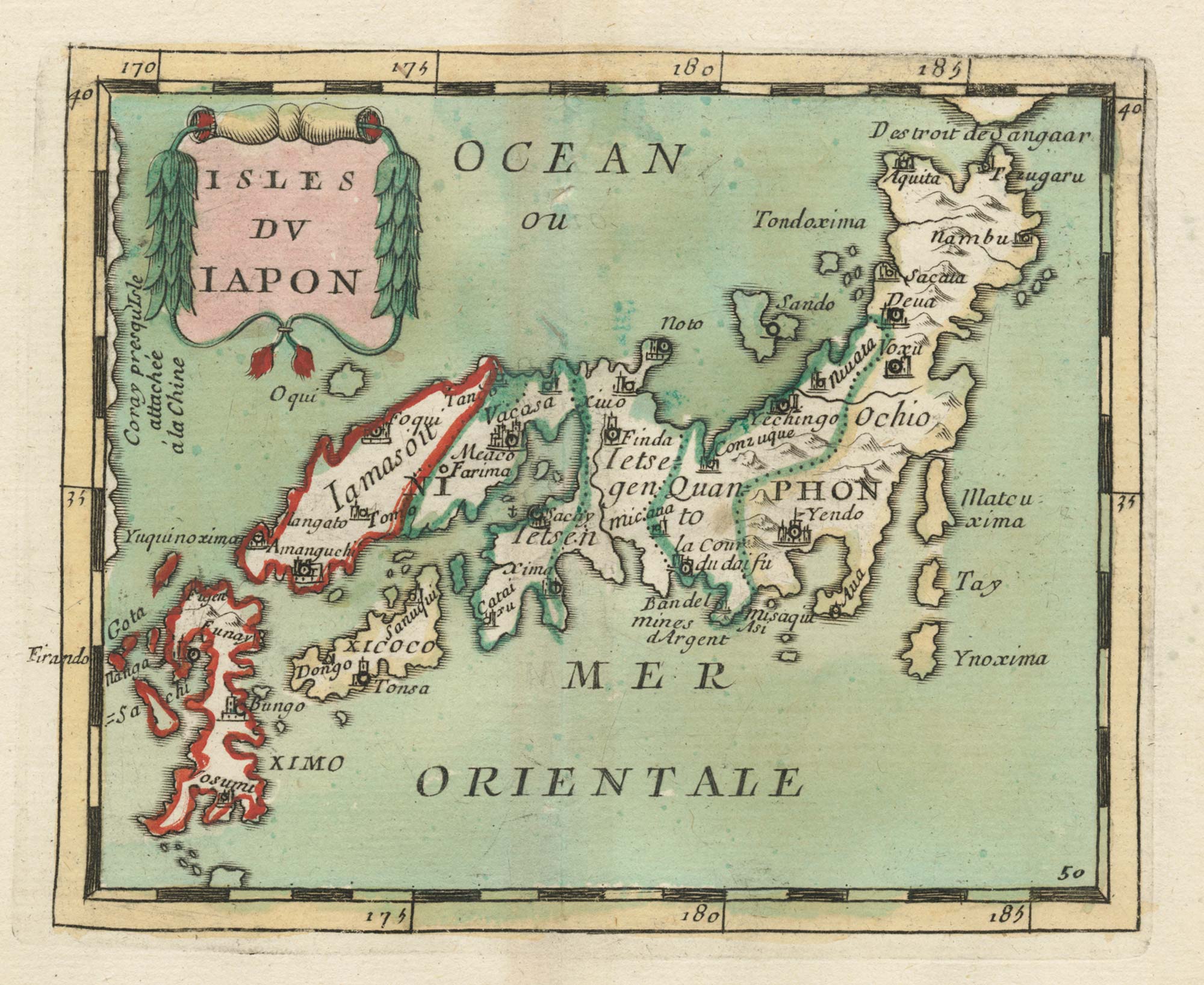
17th century miniature map of Japan
DU VAL, Pierre. Date: 1690 Stock #: 24849 £380.00
Add to Wishlist
Add to Wishlist

Crete with a plan of Heraklion under siege by the Ottomans
DU VAL, Pierre. Date: 1677 Stock #: 24834 £550.00
Add to Wishlist
Add to Wishlist
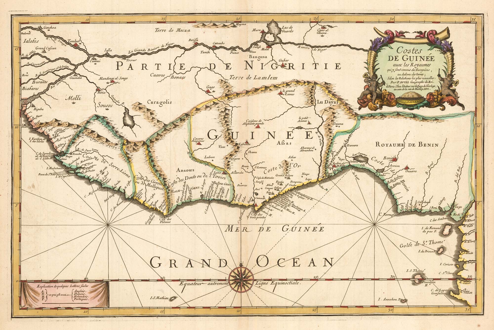
Du Val's folio map of the slave forts of the Gulf of Guinea
DU VAL, Pierre. Date: 1671 Stock #: 23256 £480.00
Add to Wishlist
Add to Wishlist
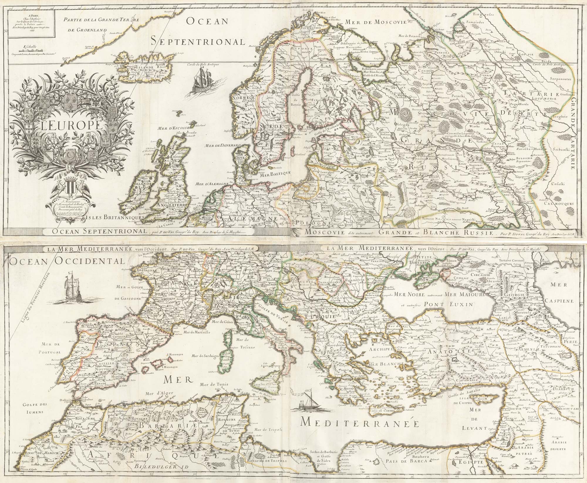
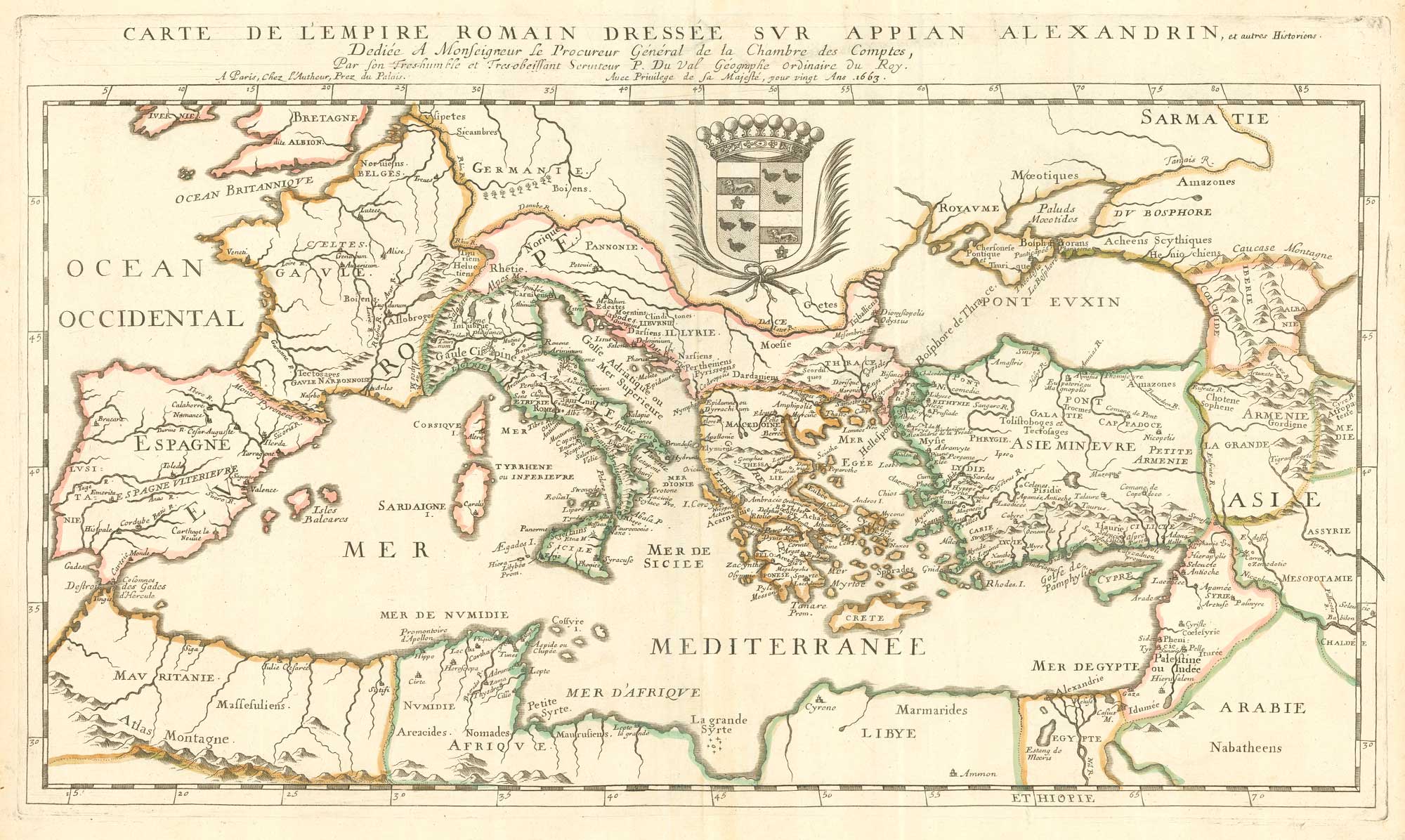
A 17th century wall map of Europe on four sheets
DU VAL, Pierre. Date: 1668 Stock #: 19780 £2,000.00
Add to Wishlist
Add to Wishlist