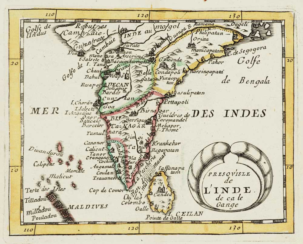


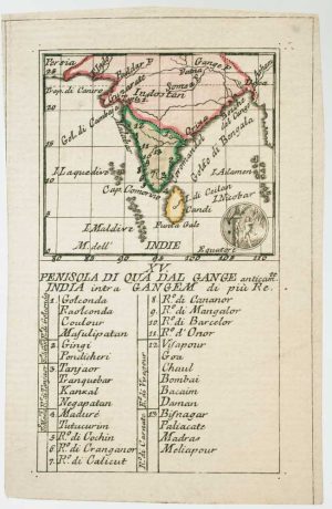
Miniature map of India
Presqu'isle de L'Inde de ca le Gange.
Paris, 1682. Original outline colour. 100 x 125mm.
£200.00
Description
A miniature map of Southern India, Sri Lanka and the Maldives from the 'Géographie Universelle'.
Condition:
A good example.Related products
-
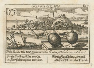
An unusual 17th century prospect of Diu, India
MEISNER, Daniel. Date: 1640Stock #: 24676 £150.00 -
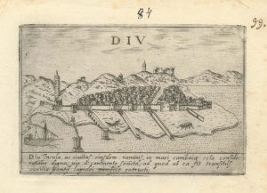
A 16th century Italian plan of Diu Island
VALEGIO, Francesco. Date: 1598Stock #: 24140 £200.00 -
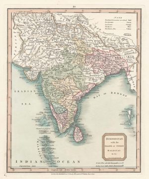
An early 19th century map of India in fine colour
LAURIE & WHITTLE. Date: 1801Stock #: 22828 £160.00 -
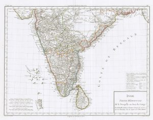
A late 18th century French map of India
MENTELLE, Edme. Date: 1797Stock #: 23905 £140.00 -

An 18th century English map of India
MOLL, Herman. Date: 1732Stock #: 25481 £500.00 -
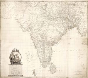
An Austrian edition of Rennell’s wall map of India
RENNELL, James. Date: 1788Stock #: 23140 £1,850.00 -
An 18th century playing-card map of India
RABATTA, Augusto & BAILOU, Jean Baptist de. Date: 1779Stock #: 12984 £400.00 -
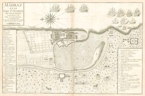
The capture of Madras by the French during the War of the Austrian Succession
PARADIS, Louis. Date: 1750Stock #: 19559 £950.00 -
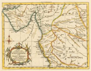
A map of the area surrounding Bombay
KITCHIN, Thomas. Date: 1759Stock #: 22950 £140.00
Items by the same author
Add to Wishlist
Add to Wishlist
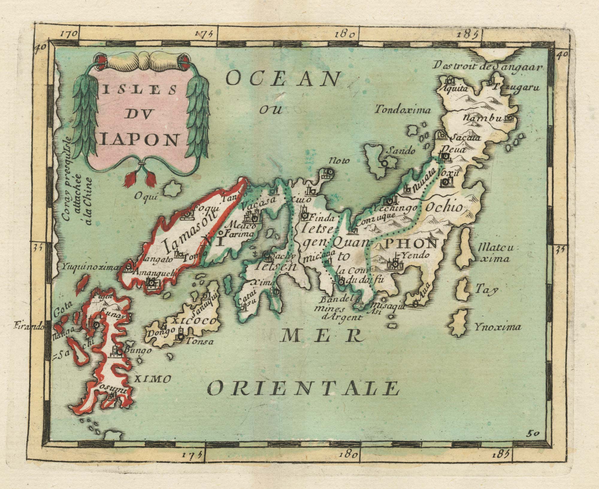
17th century miniature map of Japan
DU VAL, Pierre. Date: 1690 Stock #: 24849 £380.00
Add to Wishlist
Add to Wishlist

Crete with a plan of Heraklion under siege by the Ottomans
DU VAL, Pierre. Date: 1677 Stock #: 24834 £550.00
Add to Wishlist
Add to Wishlist
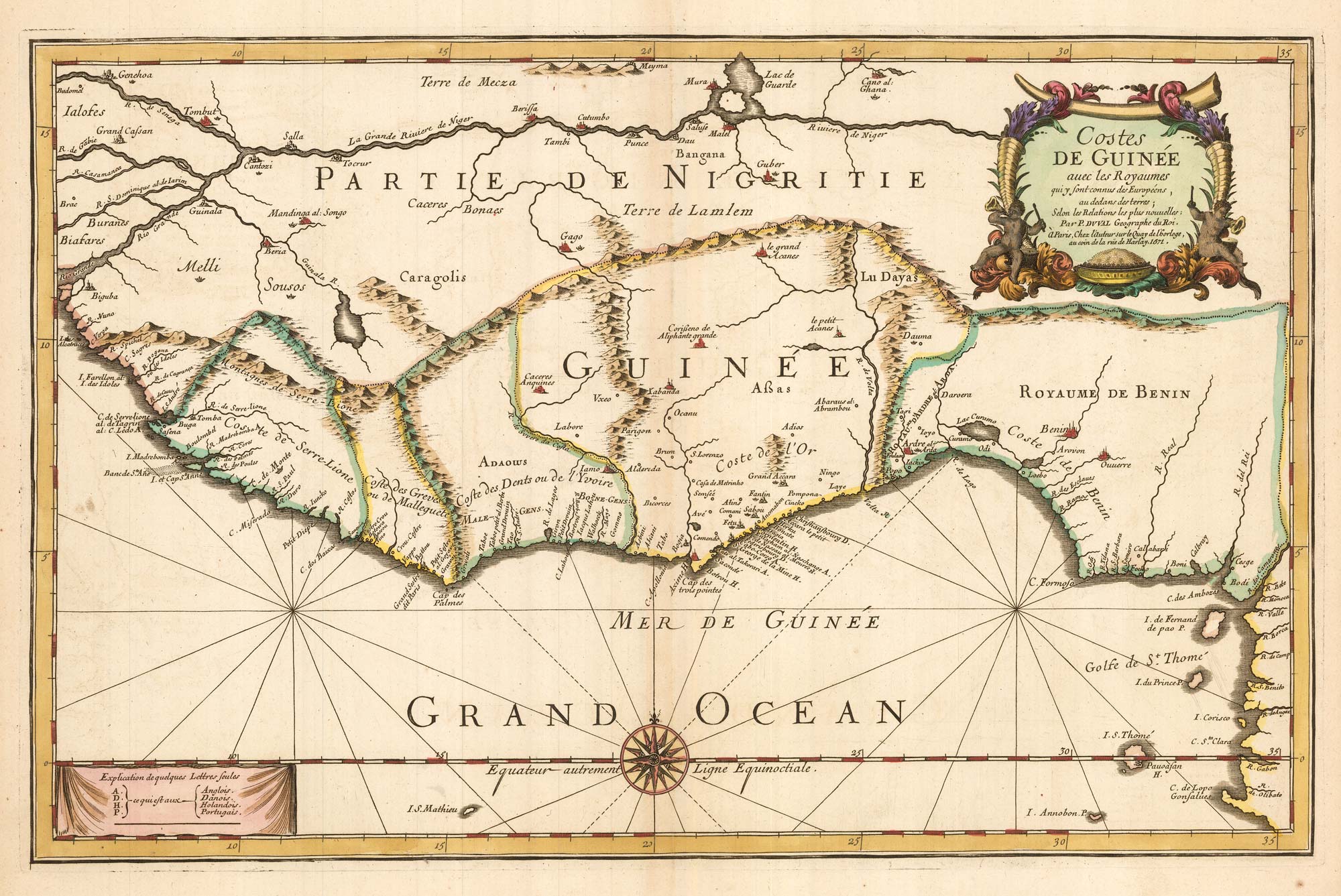
Du Val's folio map of the slave forts of the Gulf of Guinea
DU VAL, Pierre. Date: 1671 Stock #: 23256 £480.00
Add to Wishlist
Add to Wishlist
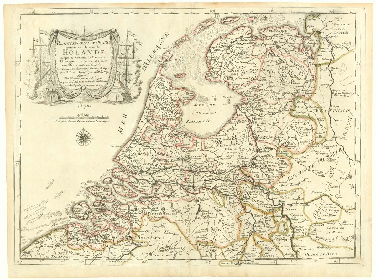
The Netherlands during the Anglo-Dutch War of 1672
DU VAL, Pierre. Date: 1672 Stock #: 20503 £900.00
Add to Wishlist
Add to Wishlist