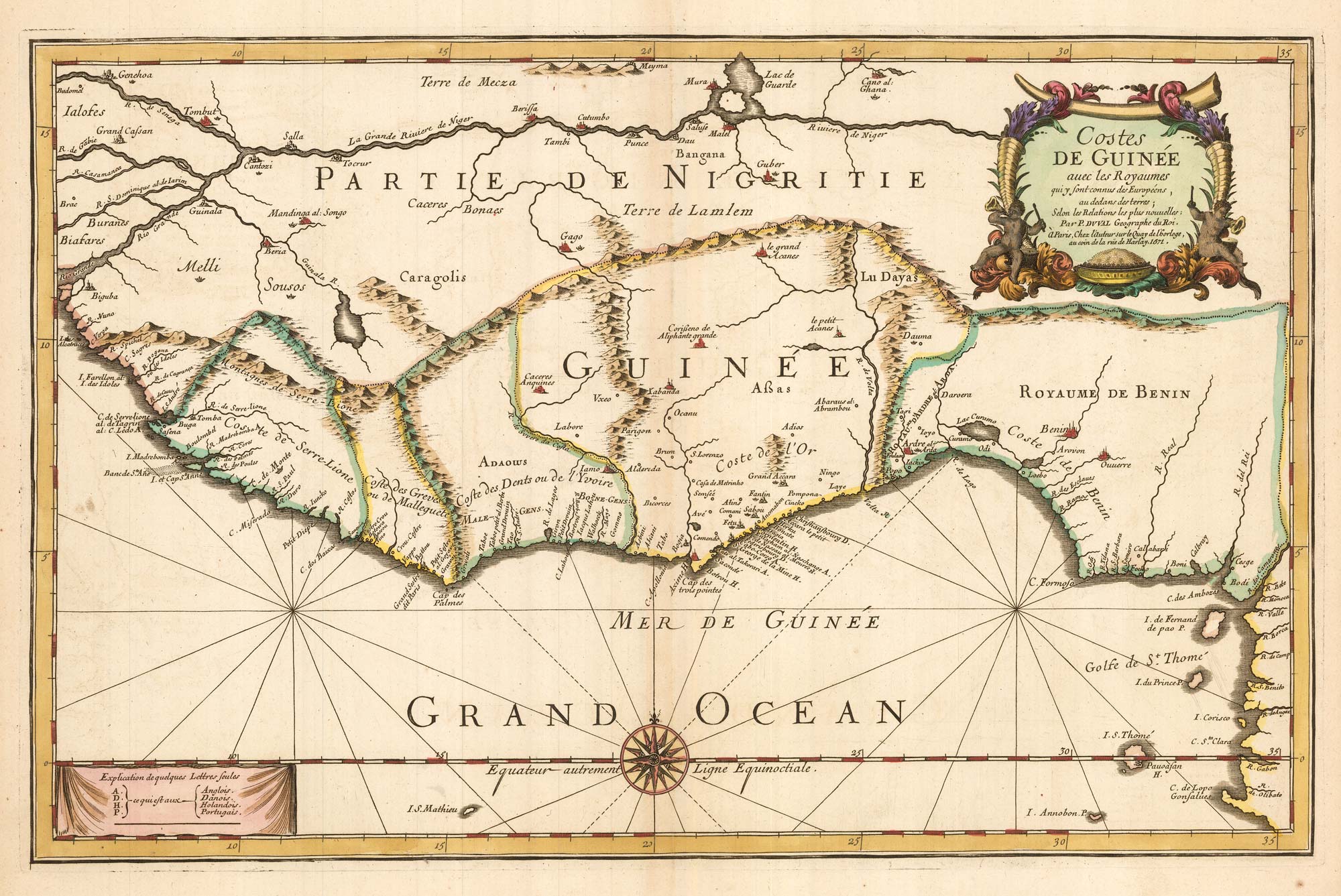


Du Val’s folio map of the slave forts of the Gulf of Guinea
Costes de Guinée avec les Royaumes qui y sont connus des Européens, au dedans des terres; Selon les Relations les plus nouvelles.
Paris, 1671. Old colour. 340 x 530mm.
£480.00
1 in stock
x
Question About This Item?
Du Val’s folio map of the slave forts of the Gulf of Guinea & DU VAL, Pierre.Stock #: 23256
Add to Wishlist
Export as PDFEnquireSimilar to Sell?Add to Wishlist
Description
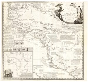
Du Val's scarce map of the coasts of Africa from Sierra Leone south to the Equator. Of interest is the early depiction of the mass of slaves forts that had sprung up on the Gold Coast (modern Ghana), including the infamous Elmina, Christiansborg and Cape Coast Castle (here Cabo-Corso). A key marks which were English, Dutch, Danish or Portuguese.
Issued in Du Val's atlas 'Cartes de Geographie'.
Condition:
A good example.Related products
-
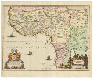
A 17th century old map of the Gulf of Guinea in West Africa
JANSSON, Jan. Date: 1680Stock #: 23630 £500.00 -
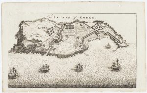
Map of the island of Gorée to illustrate news of the Seven Years’ War
Anonymous. Date: 1759Stock #: 14901 £100.00 -
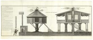
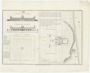
Designs of houses for use in the Sierra Leone colony
WADSTROM, Carl Bernard. Date: 1795Stock #: 25251 £250.00 -
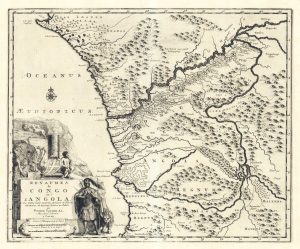
Early 18th century map of Congo & Angola
AA, Pieter van der. Date: 1720Stock #: 19131 £220.00 -
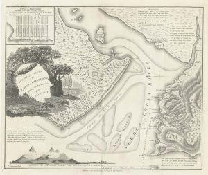
An Abolitionist’s map of Sierra Leone
WADSTROM, Carl Bernard. Date: 1795Stock #: 25184 £3,500.00 -
One of the first maps of Freetown
WADSTROM, Carl Bernard. Date: 1795Stock #: 25179 £750.00 -
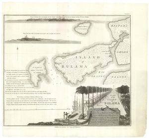
Housing the Nova Scotian Settlers on Bolama
WADSTROM, Carl Bernard. Date: 1795Stock #: 25182 £400.00 -
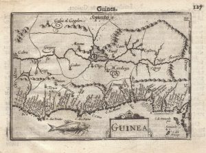
A 16th century miniature map of Guinea
LANGENES, Barent. Date: 1599Stock #: 21296 £120.00 -
The Nova Scotian Settlers on Bolama
WADSTROM, Carl Bernard. Date: 1795Stock #: 25181 £600.00
Items by the same author
Add to Wishlist
Add to Wishlist
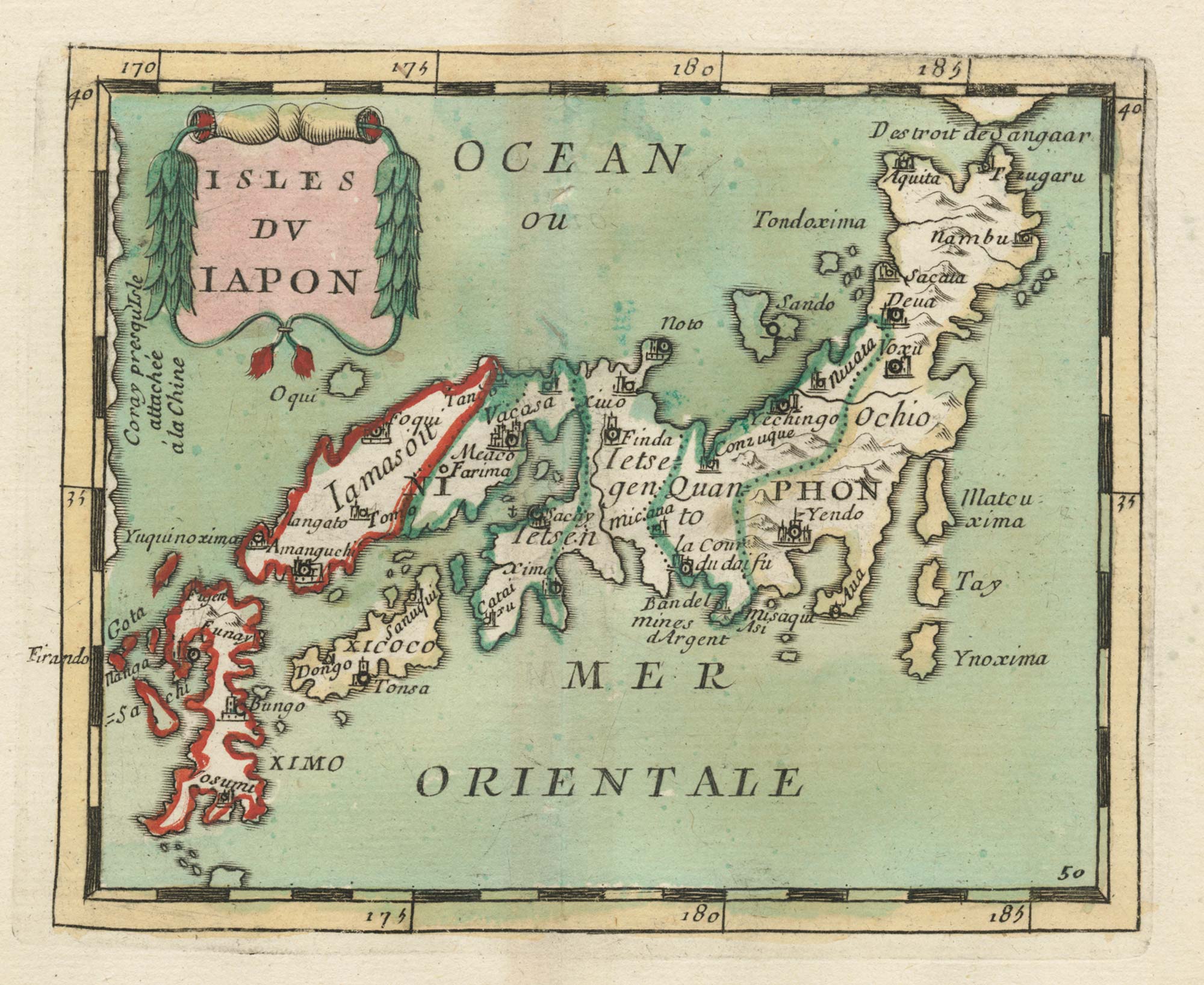
17th century miniature map of Japan
DU VAL, Pierre. Date: 1690 Stock #: 24849 £380.00
Add to Wishlist
Add to Wishlist

Crete with a plan of Heraklion under siege by the Ottomans
DU VAL, Pierre. Date: 1677 Stock #: 24834 £550.00
Add to Wishlist
Add to Wishlist
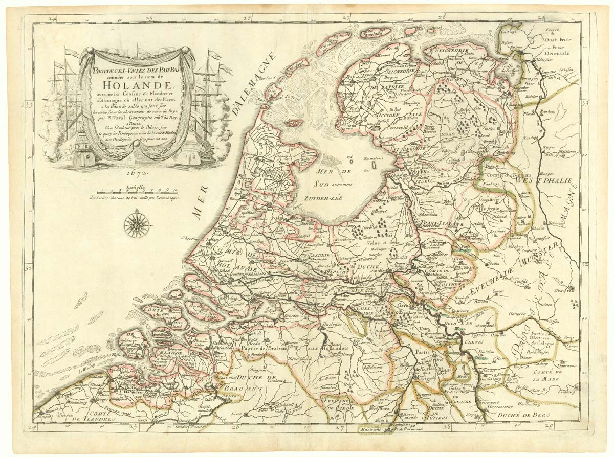
The Netherlands during the Anglo-Dutch War of 1672
DU VAL, Pierre. Date: 1672 Stock #: 20503 £900.00
Add to Wishlist
Add to Wishlist
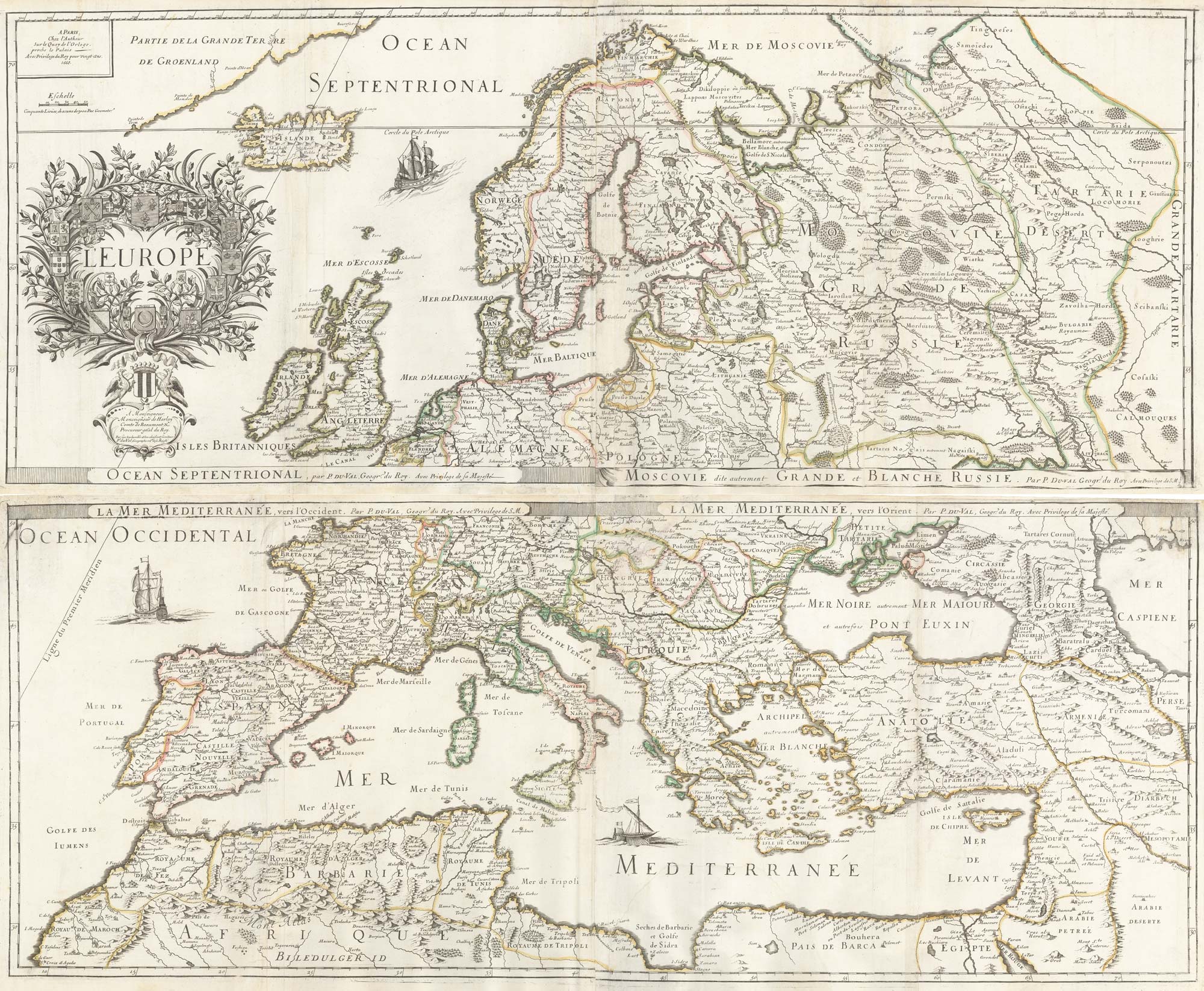
A 17th century wall map of Europe on four sheets
DU VAL, Pierre. Date: 1668 Stock #: 19780 £2,000.00
Add to Wishlist
Add to Wishlist